
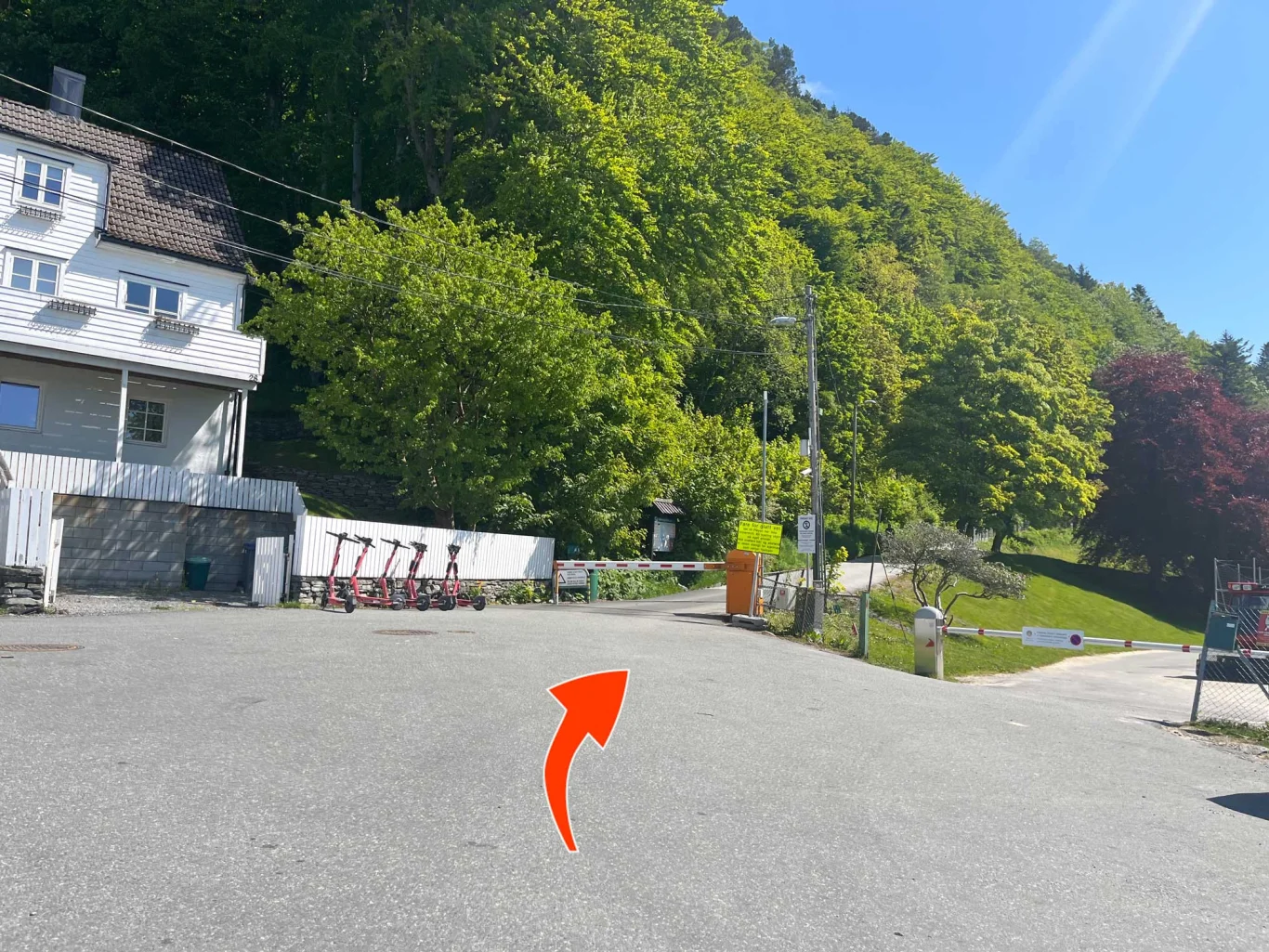
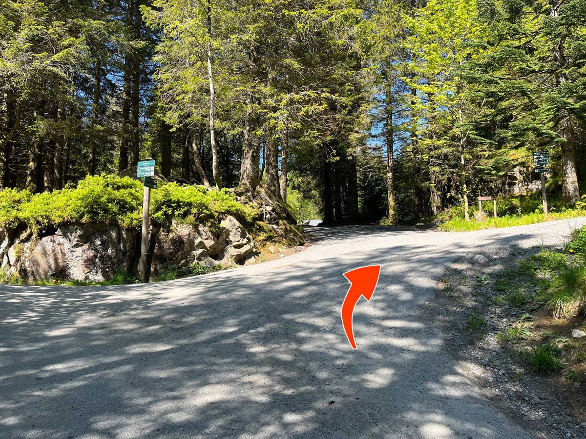
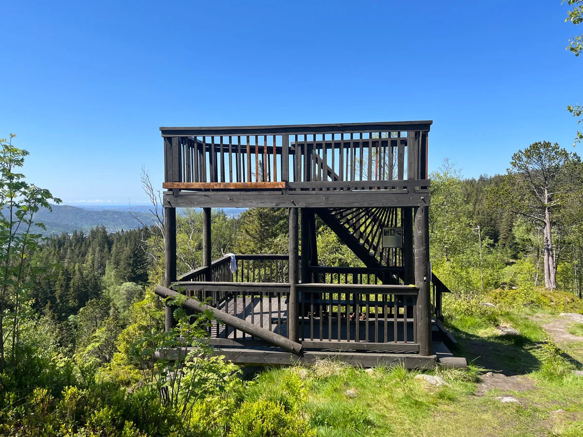
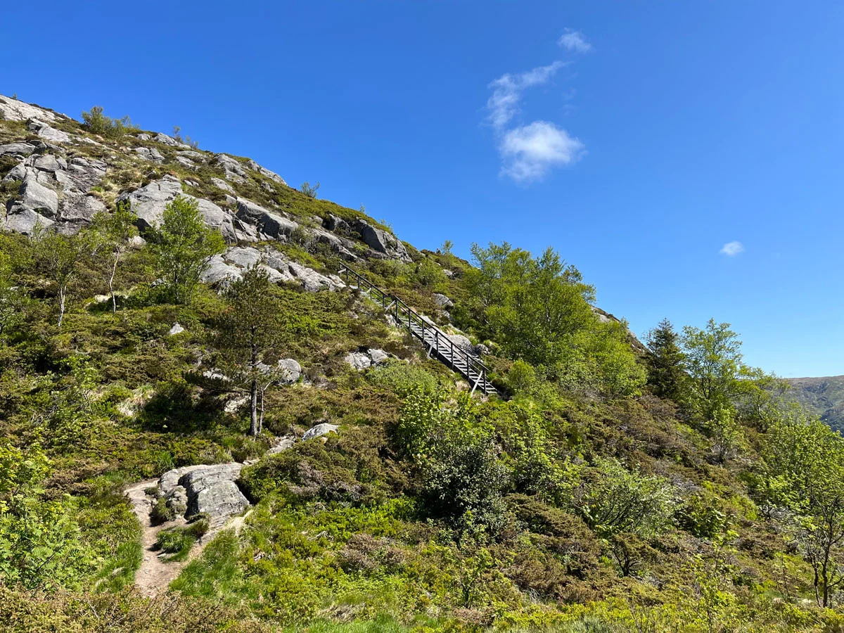
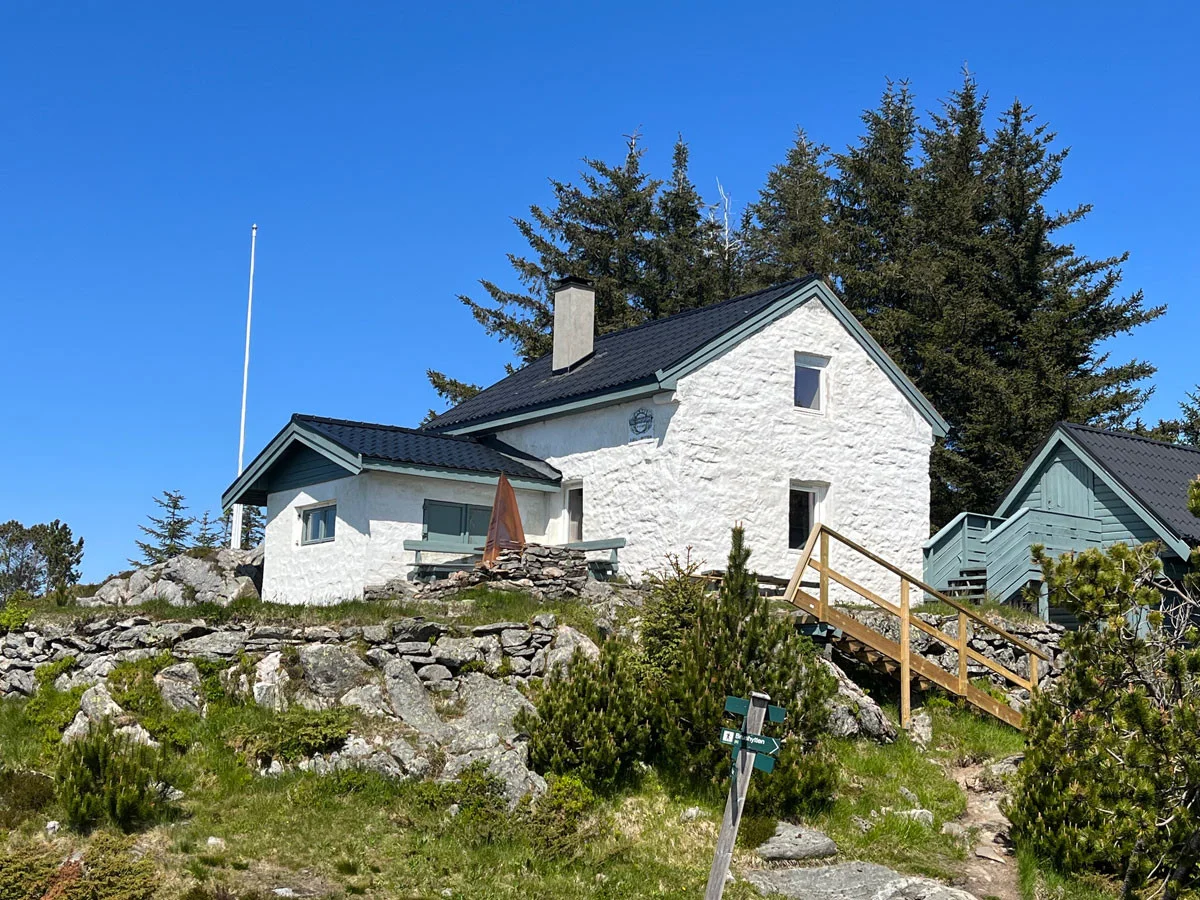
Hike to the Mountain Hut (450 m) on Fløyen
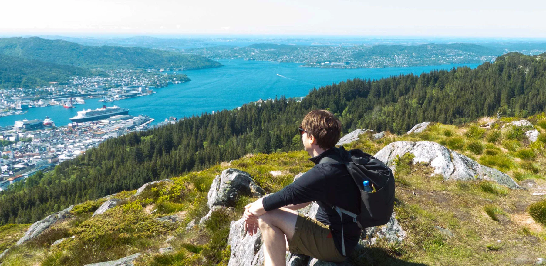
Vandretur til Fjellhytten (450 moh) på Fløyen
Photo: Admin

The GPX Track is for guidance only and may contain errors. Use at your own risk.
– always check maps, weather and conditions before your trip.

Access

The tour starts at Fløibanen in central Bergen.

Parking

Parking in the parking garage at Bryggen. Public transport to the city center  

Description

The walk to the Fjellhytten on Fløyen starts at the lower station of the Fløibanen. Walk up the bends towards Skansen Fire Station and further along Skansenbakken.

Turn left up Skansemyrsveien, through the barrier at Skansemyren Idrettsplass and up the road towards Skomakerdiket. This is the well-known route from the 2017 World Cycling Championships where thousands of Bergen residents surrounded the course and cheered on the cyclists. Turn right at the sign towards Skomakerdiket. Skomakerdiket offers many activities in the summer, such as canoe rental, barbecue facilities and swimming. The Skomakerstuen sells hot and cold drinks and light snacks.  

At the end of Skomakerdiket, follow the signs to Granbakketårnet and after a 20-minute walk you will be at Søre Midtfjell and the Fjellhytten hut with a great view over Bergensdalen. The hut is staffed on Saturdays and Sundays. From here you can continue into the city mountains and explore the large network of trails.

Information

Length: 4 km. (one way)
405 meters of elevation gain  
Time: 2 hours one way
Season: All year round.
Grading: Simple

Processing elevation data.. .

You use GPX files that you download from our server 100% at your own risk.

Accommodation nearby

Hiking nearby