
Mountain hike to Ulriken (643 m) from Årstad
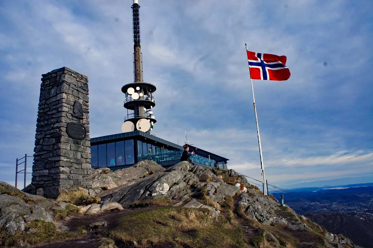
Fjelltur til Ulriken (643 moh) fra Årstad
Photo: Admin

The GPX Track is for guidance only and may contain errors. Use at your own risk.
– always check maps, weather and conditions before your trip.

Access

Approximately 7 minutes (2.4 km) drive from Bergen city center.

Parking

Parking by the football field. Zone-free parking every Sunday.

Description

Your hike starts at the parking lot just below the Svartediks Dam. You start walking down Stemmeveien and turn left over the bridge onto Bjørndalesveien. Continue to keep left to walk to the end of the road. From the top of Bjørndalen you will see a path that goes up along the waterfall in the Støle River. The path is called Stølekleiven. It starts steeply up through the forest and continues to open mountain terrain. When you see Ulriksmasten, you enter the staircase path (Oppstemten) that leads you to the top.

Information

Distance : Approximately 4 km round trip.
Time: Approximately 1-2 hours round trip.
Elevation gain: 581 meters
Season: All year round. Winter.
Grading: Medium

Processing elevation data.. .

You use GPX files that you download from our server 100% at your own risk.

Accommodation nearby

Hiking nearby