
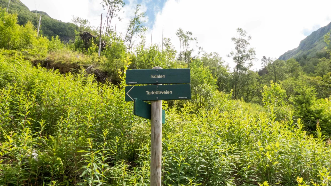
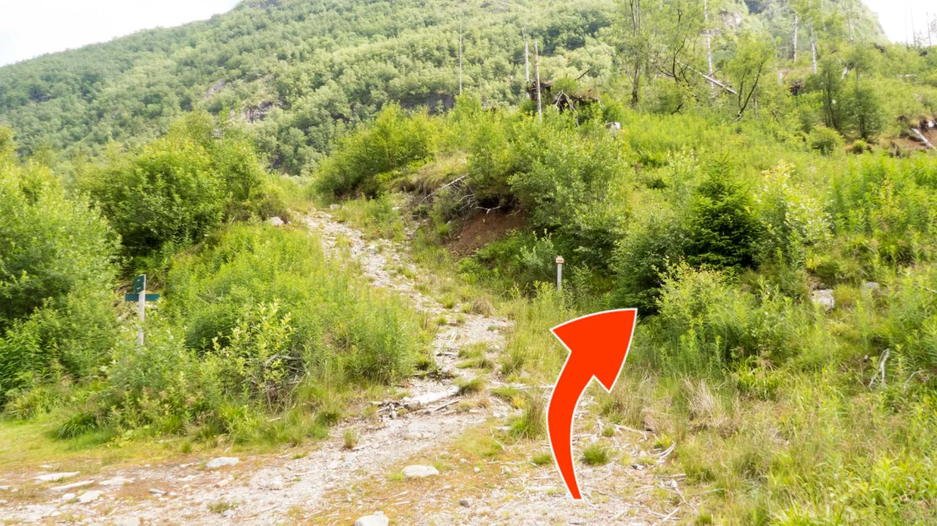
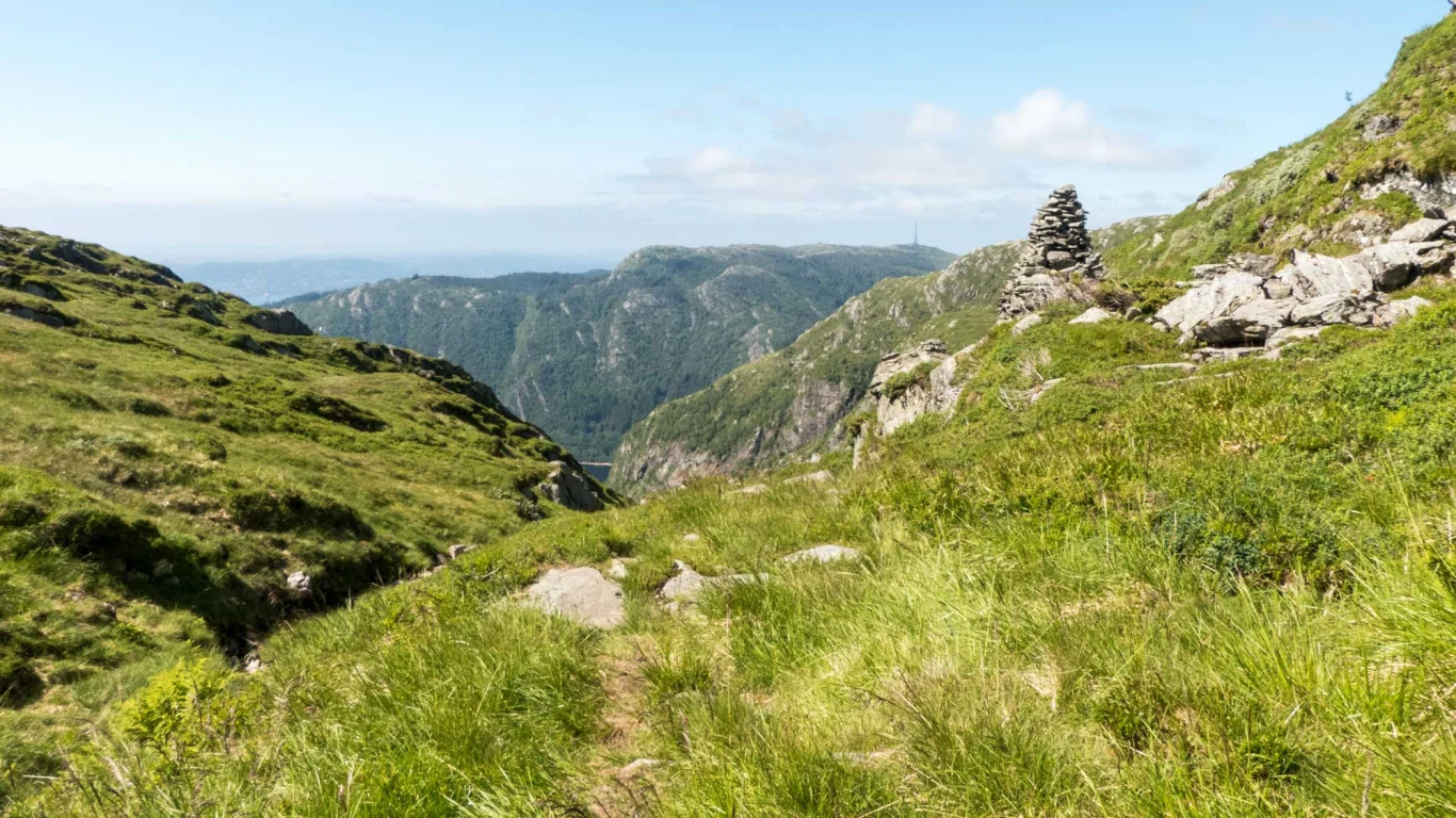
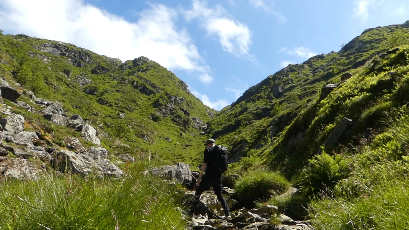
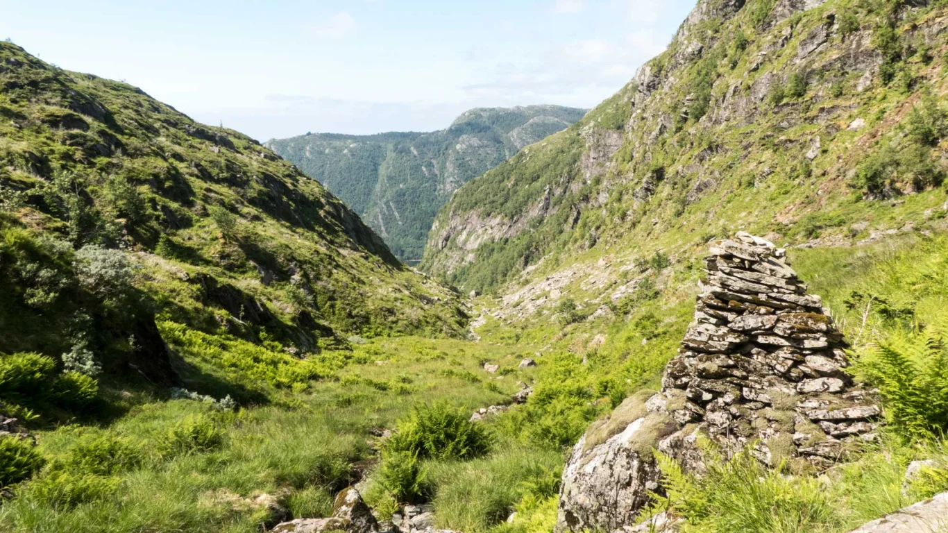
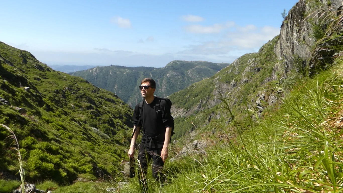
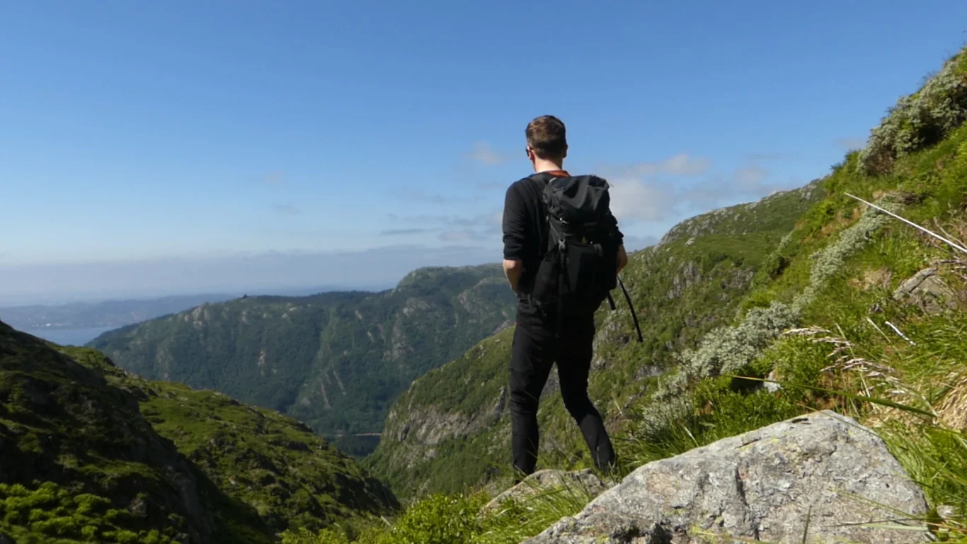
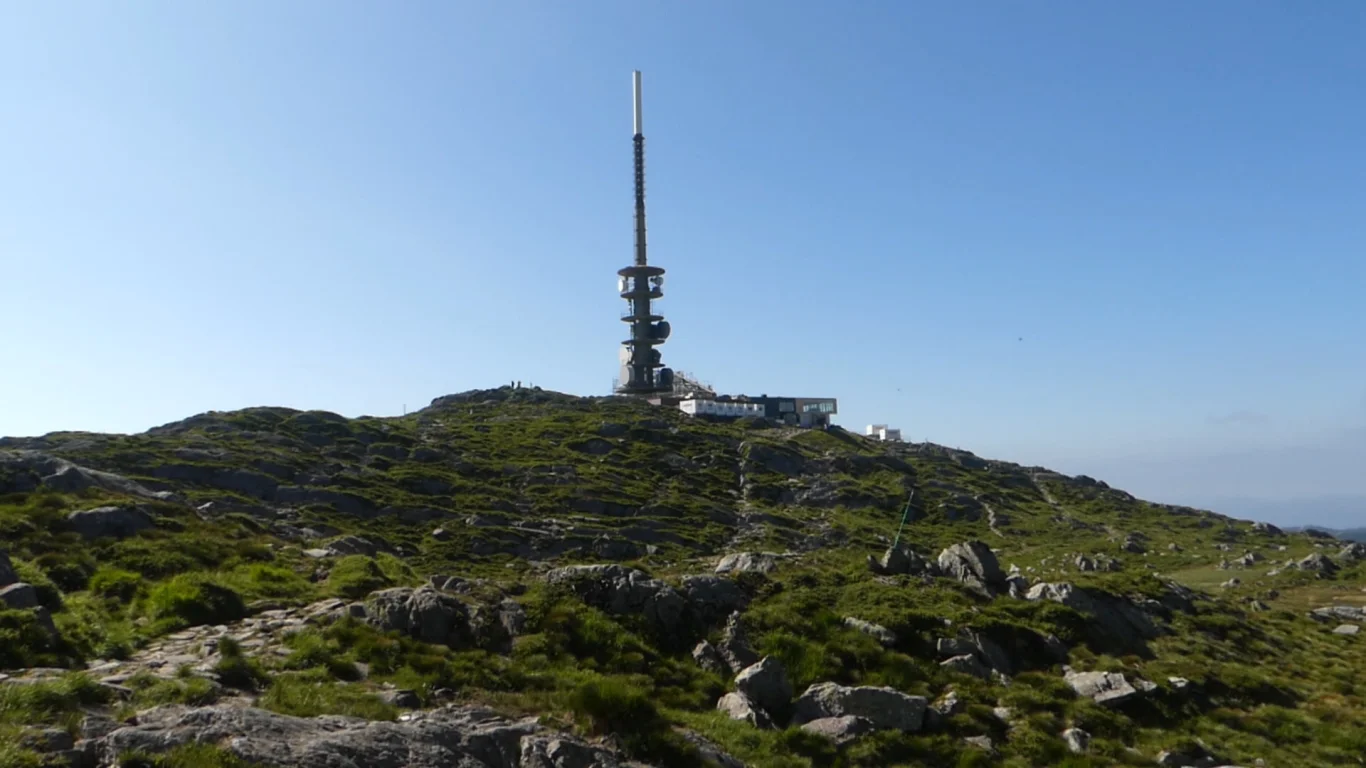
Isdalen up to Ulriken (643 m above sea level)
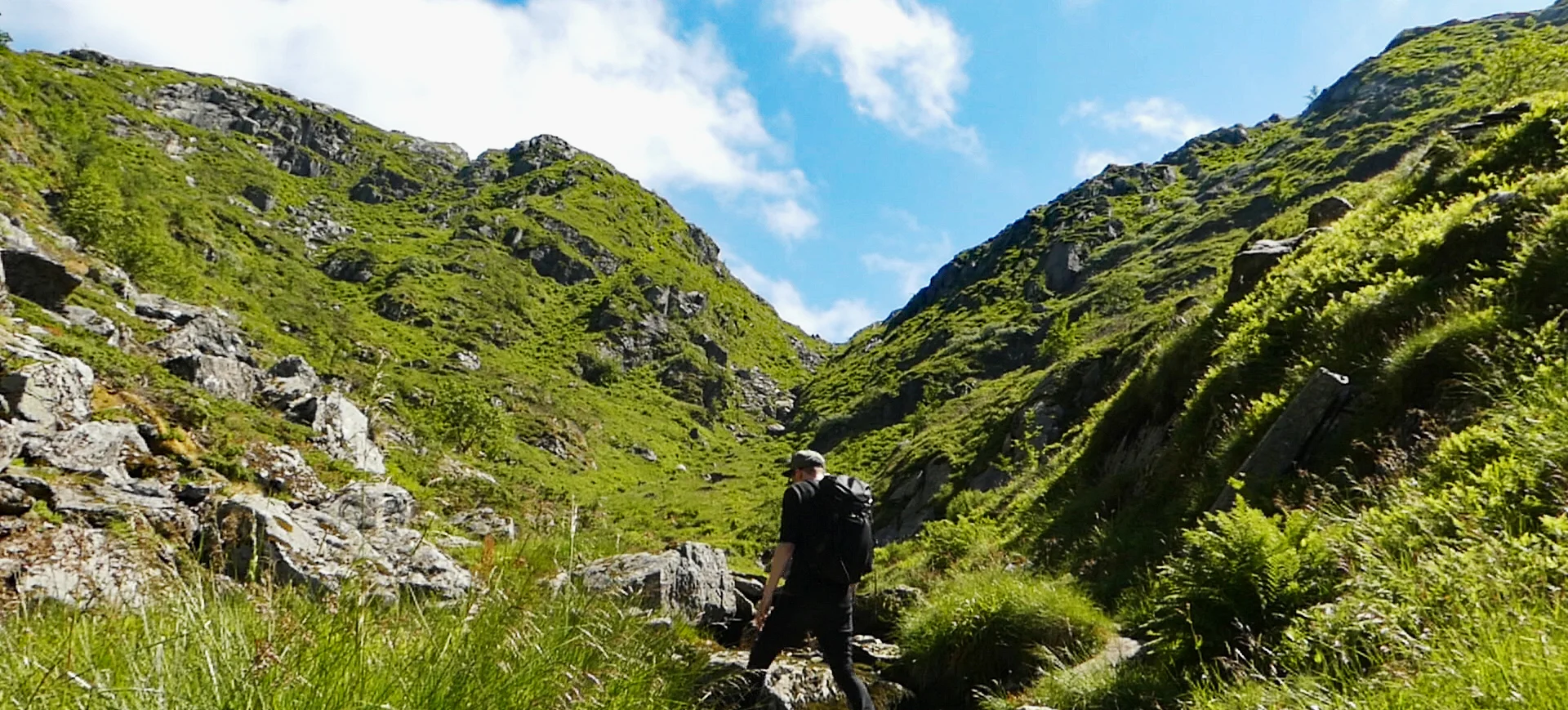
Isdalen opp til Ulriken (643 moh)
Photo: Admin

The GPX Track is for guidance only and may contain errors. Use at your own risk.
– always check maps, weather and conditions before your trip.

Access

Public transport to Årstad or parking at the dam in Svartediket.

Parking

MERK. Det er sone Parking på Årstad og i området rundt Svartediktet.  Det er ikke soneparkering om søndagen.

Description

Isdalen up to Ulriken is a little-used but very nice hike in varied terrain with nice viewpoints.

Start the hike on Tarlebøveien along Svartediket. Turn right at the sign for Isdalen. Also take the Next road to the right over a small bridge and follow the gravel road to the end. Here there are signs for Isdalen but the start of the trail is difficult to spot. Look for the sign with an arrow showing where to go. The trail is quite overgrown at the beginning but not difficult to follow. Halfway up Isdalen you are above the tree line and the rest of the hike is in lush and idyllic mountain terrain.

Just before the summit there is a steep section but it is not demanding to climb. Maybe a little slippery to go down on rainy days. At the summit you meet the path over Vidden and can choose to go right towards Ulriken, or turn left towards Fløyen. From Ulriken there are many options down, including the Sherpa ladder Oppstemten or the new Ulriksbanen which will open in August 2021.

Information

Length: 9 km.
approx. 600 meters of elevation gain  
Time: 3-4 hours
Season: All year round.
Public transport: Bus to Årstadveien
Grading: Medium

Processing elevation data.. .

You use GPX files that you download from our server 100% at your own risk.

Accommodation nearby

Hiking nearby