The GPX Track is for guidance only and may contain errors. Use at your own risk.
– always check maps, weather and conditions before your trip.
This is the most demanding and longest stage of the Bergen på Langs Anniversary Trail.
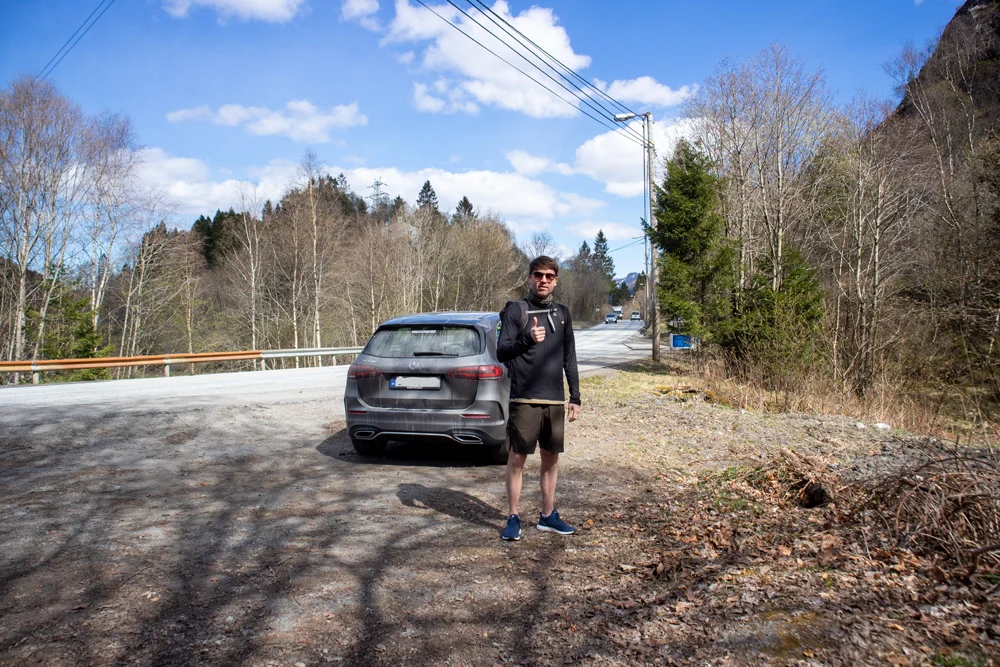
The tour starts at Søylevannet where stage 4 ended.
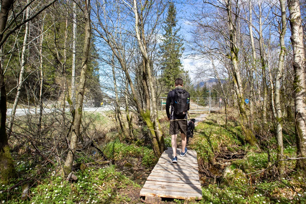
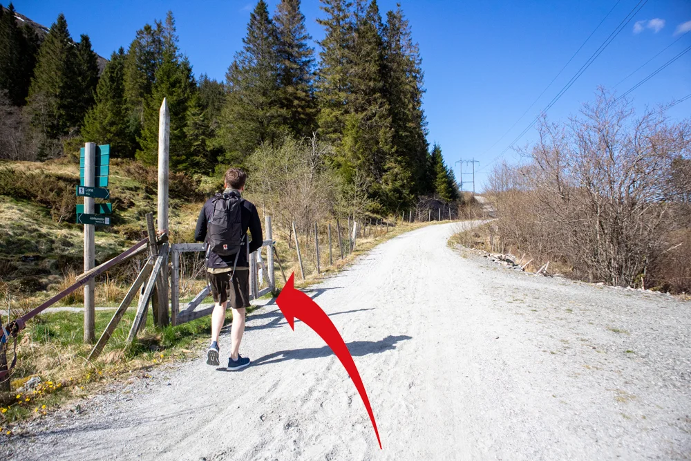
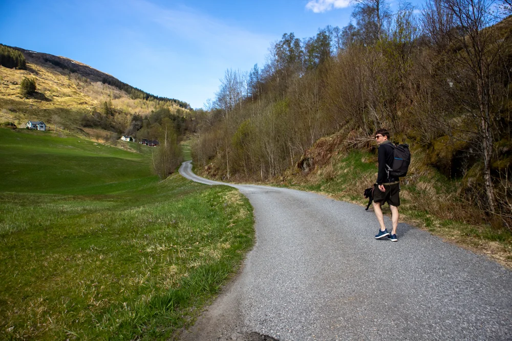
From the parking space, walk to the end of the bus stop (right side). Here there is a sign that leads onto a path. It runs parallel to the road and down onto the sidewalk. Follow the sidewalk for 150 meters and cross the road. Walk on the sidewalk on the left until you see a sign marked “Jubileumsstien/Bratland”. Walk Brattlandsvegen over the train tracks and further up the hill to the left. Follow the signs to the right along the inland field towards the farmyard. At the farm, go right and up the back. Now you will enter the horse path.
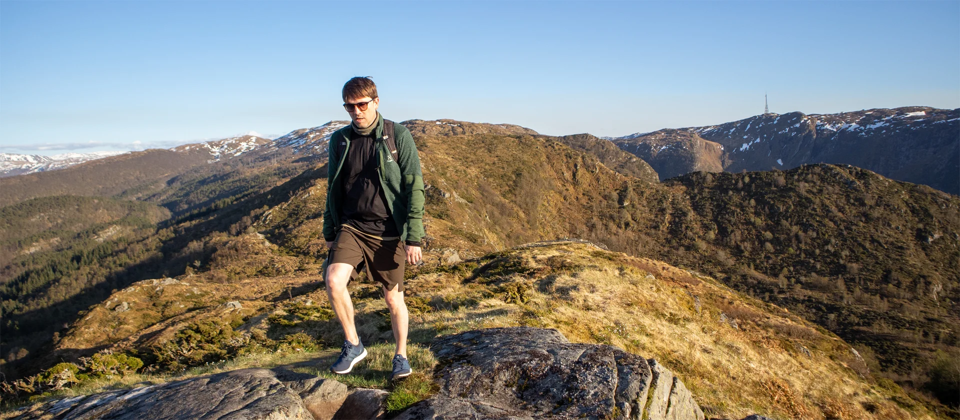
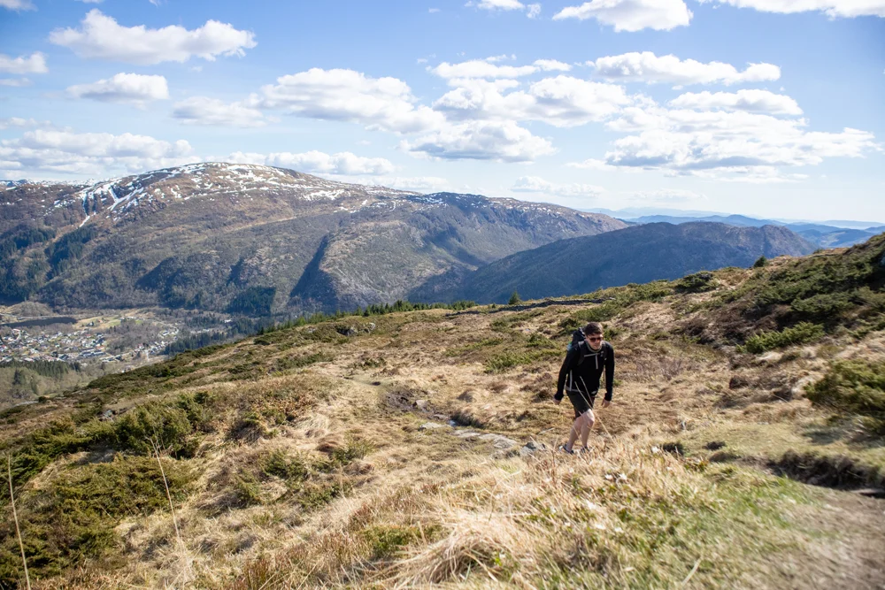
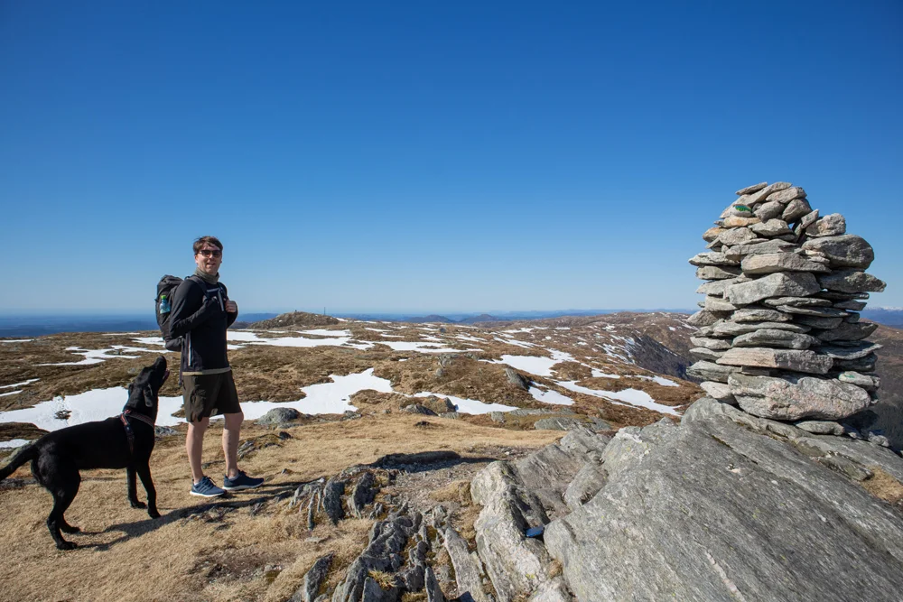
Follow the horse road for about 1 Km to a new sign. Go through the gate on the pasture and up the mountainside to Hauggjelsvarden som er turen høyeste punkt. Fra varden går du nordover og kommer inn på Vidden i Bergen. Følg den vanlige vidde traseen til Langelifjellet. Her er skilt merket “Vardegga / Jubileumsstien”. Gå av Vidden traseen og følg stien nord-øst mot Grønetua og deretter nordover langs Vardegga.
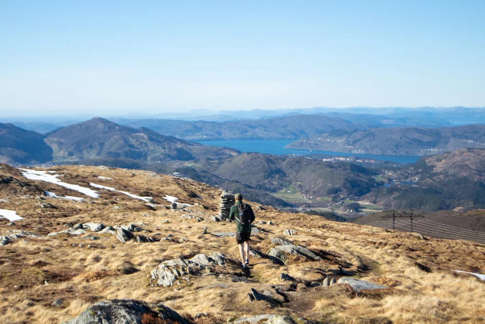
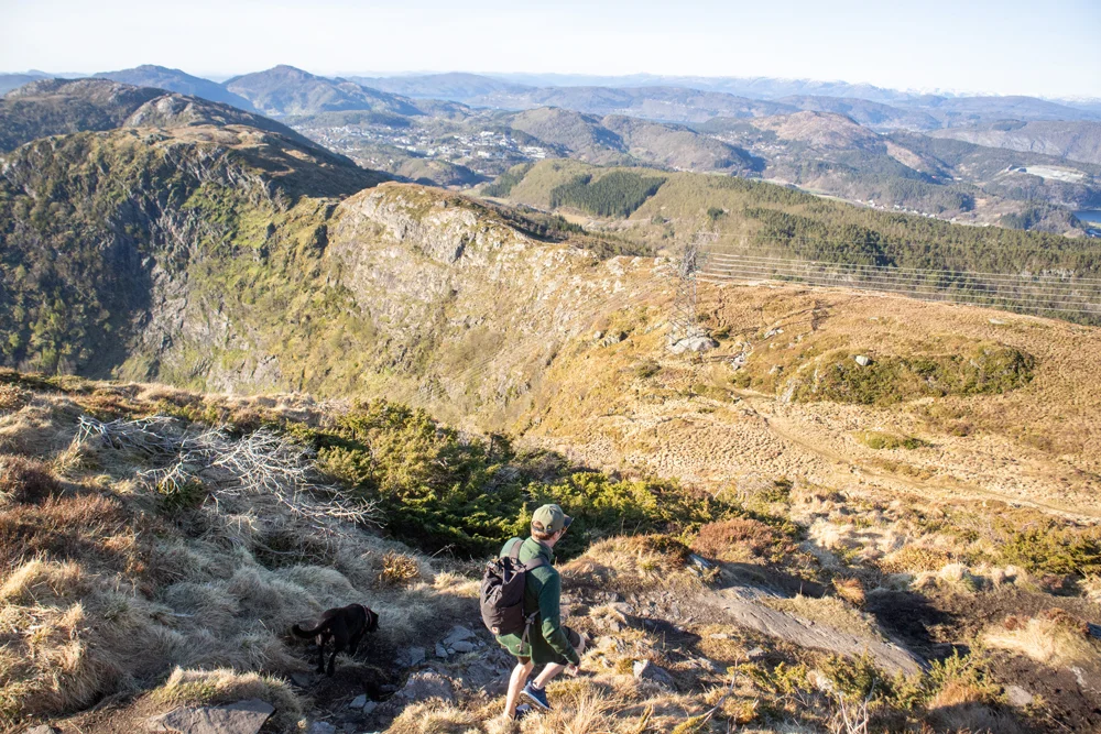
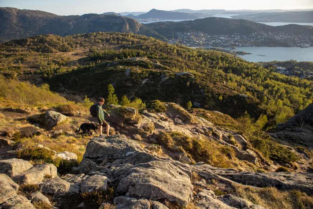
By following the ridge you will come to the red-painted Viking hut. Here there are benches and a perfect place for a break. Then you follow the cairn range to the north-west. It leads you towards Ulskebjørnen and Vinddalen. However, you will not go down to Ulskebjørnen cairn, but follow the marked path on the right side around Vinddalen. Here it goes steeply down on the left side so do not go too far out on the edge. At Vinddalsskaret I recommend taking a detour to Stanglifjellet for the great view (see GPS Track ). However, the marked route continues straight ahead. Follow the path over the ridge by Setervatnnet on the right side. Up towards Storsåta there is a steady climb. This peak has a nice view of Åsane. Then go west and then north down into the skar where the high-voltage lines meet. From the skar you go what is the last ascent of the trip to Nukane. Then you just walk a few hundred meters to the west and then the path north down to Rolland where you arrive at the finish line.
There are red painted poles and signs along the entire route. In some places there is a long Distance between the marking poles, so please follow the map / GPS if you are not familiar.
Have a good trip!