The GPX Track is for guidance only and may contain errors. Use at your own risk.
– always check maps, weather and conditions before your trip.
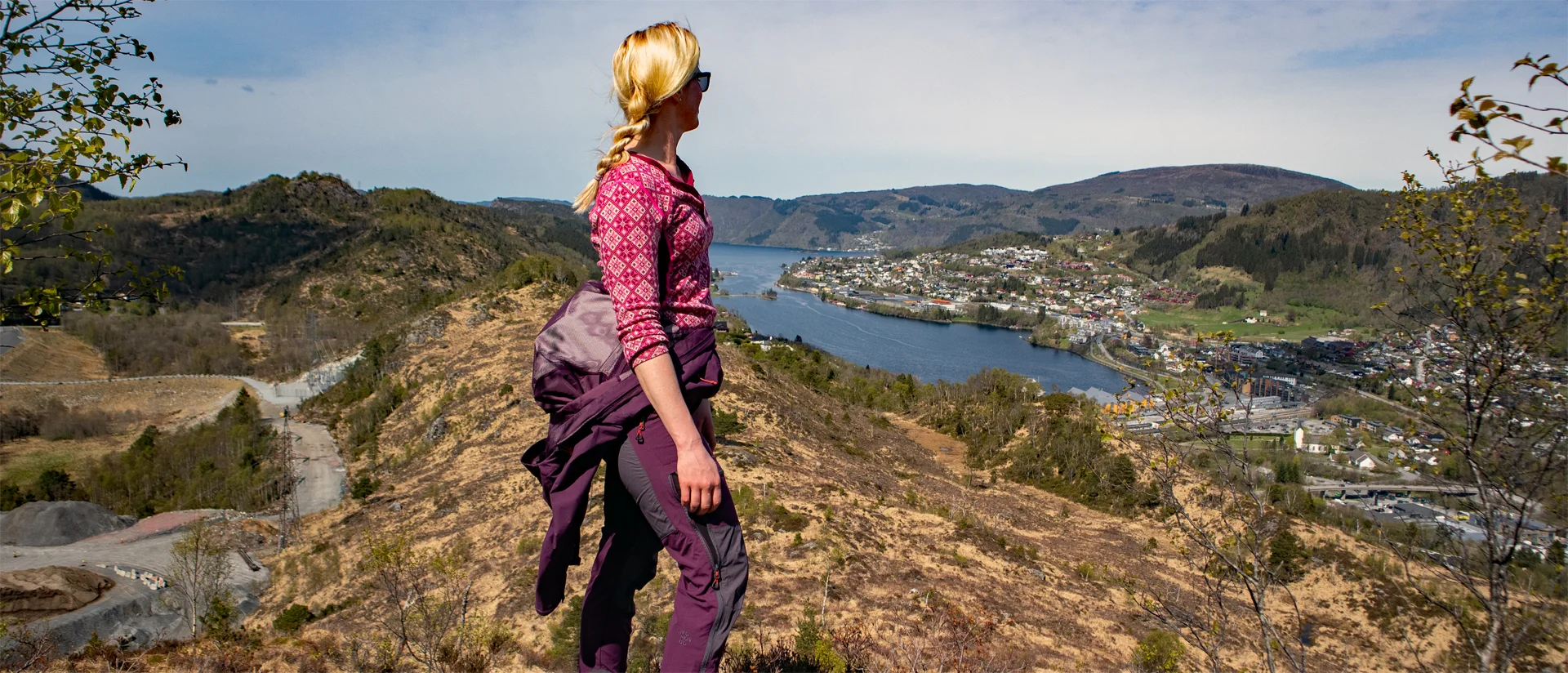
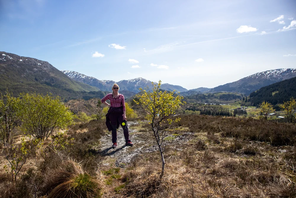
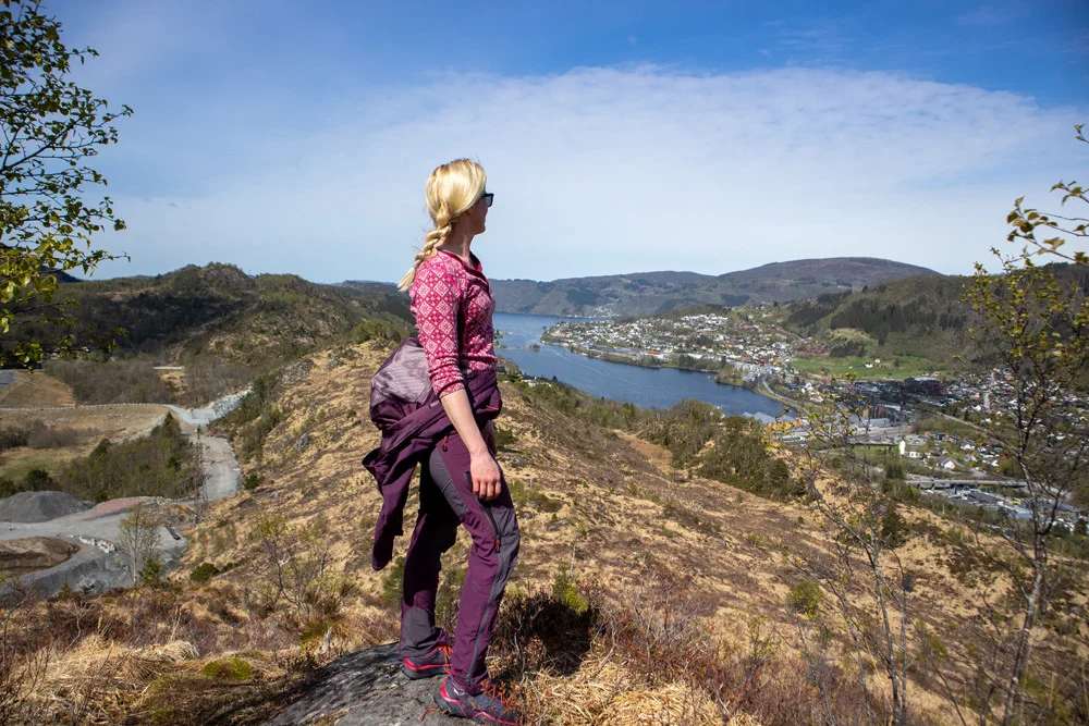
This is a hike over many small peaks in Arna that offer nice views.
Start the hike at Espelandshallen / football field by walking along the road Loneleiet over the train tracks. After you have crossed, go left and then right at the Next intersection signposted “Londalen”. After approx. 150 meters there is a path up to the right. The path starts just behind the gravel area, it is somewhat unclear at the start.
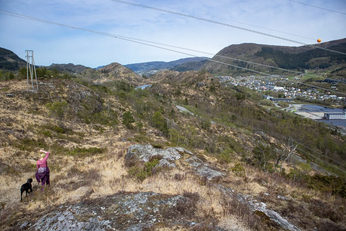
Følg stien som går på kryss og tvers gjennom skogen opp mot Lonaheia. Stien er god så den er lett og følge. Det ganske gjengrodd men enkelte plasser er det fin utsikt. Følg stien over Loneheia nordover. Deretter kommer stikryss hvor du skal gå til høyre mot Ormebrekkene. Nede i myren fortsetter du nordover og går til høyre i neste stikryss. Videre er det et kort parti med noe bratt stigning opp på ryggen. Gå nordover på ryggen med utsikt mot Asko terminalen på høyre side. Følg stien nordover som leder deg ned i søkket. Deretter følger du stien som går parallelt med elven sørover igjen ned på asfaltveien.
Follow the asphalt road north down to Hardangervegen. Just before the main road there is a turning point where a path goes up to the left via the knolls. The path leads you north along Kvernafossen and to a tractor road. Follow the road to the right around the bend and further to the right up onto the ridge.
If you don't want to go via the ridge, you can follow the road northwards and take the path that leads to Krokavatnet. At the top of the ridge, follow the depression down to Krokavatnet and the path on the left side of the bog northwards (as shown on the GPS Track . Another alternative is to follow the ridge further northwards over Nedstadheia.
At the end of the bog, follow the path to the left up to Kvarnaskaret and then north up to Storenuvarden, which is the most beautiful viewpoint on the trip. Continue north along the ridge. The section down from the top of Storenuvarden is somewhat steep. Then go north past the sand roof and down from the ridge on the left side. Go past the small power plant on the left side and the path that leads you north towards the football field. Then follow the asphalt road down to Mjeldheimskleiva road.
For the return trip, I recommend taking the paved road back via Rødland.
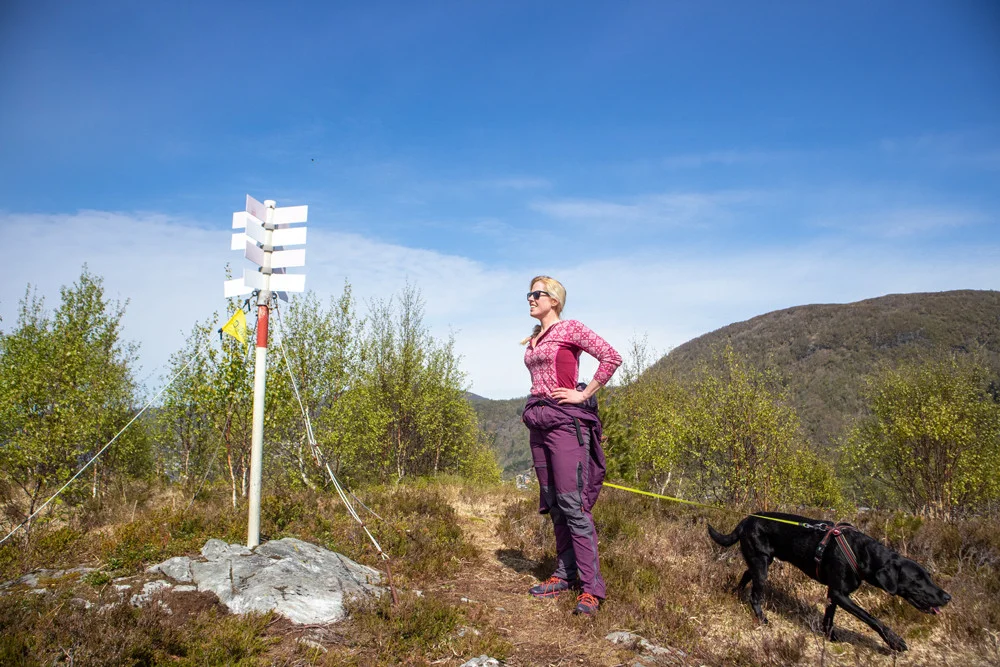
In some places the path is somewhat unclear, so it may be a good idea to bring a map or GPS.
Have a good trip!