Vasslifjellet (629 m) from Sædal
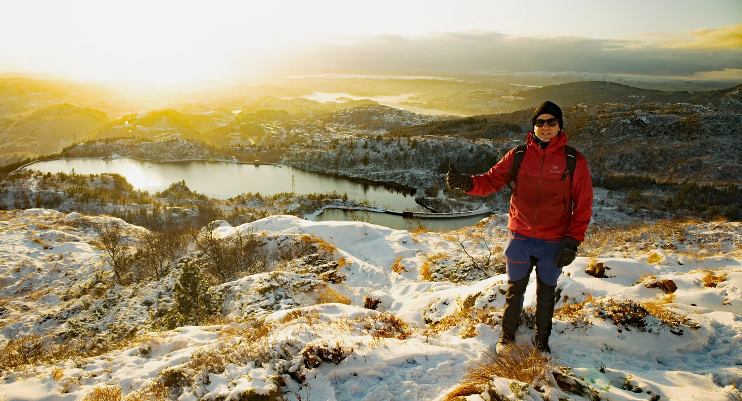
Vasslifjellet (629 moh) fra Sædal
Photo: Admin

The GPX Track is for guidance only and may contain errors. Use at your own risk.
– always check maps, weather and conditions before your trip.

Access

From Bergen you drive to Landås and on to Birkelundstoppen. If you come from Nesttun you drive up Birkelundsbakken.
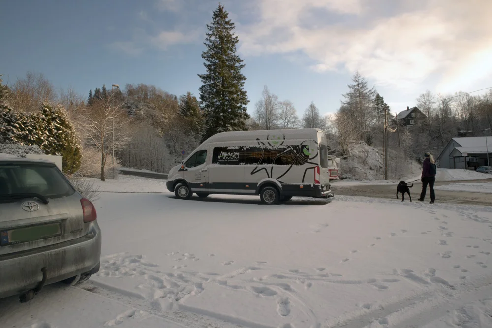
From the city, drive to the left sign 'Sædalen' (where you enter with Kiwi). Drive Nye Sædalsveien straight through the tunnel and follow it up into Sædalen to the Extra store on the left. Drive in here and park on the left side with the kindergarten. Make sure you don't park during the working hours of the people who work there. If you do, you can follow Sædalssvingene straight ahead and park along the road.

Parking

Free parking in Sædalen.

Description

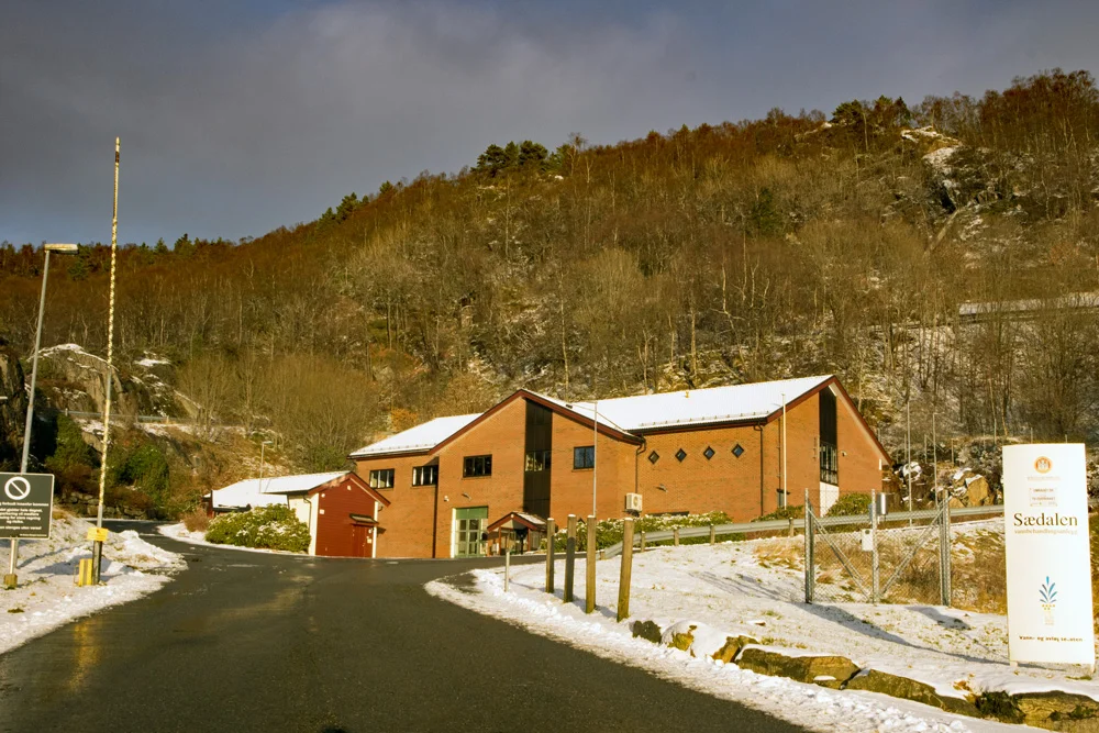
From the parking lot, walk up Sædalssvingene. Follow it all the way to the water facility.

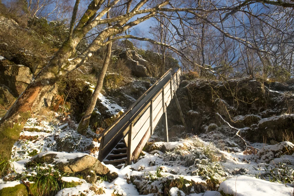
When you get there, go left to the top of the water feature. Now the road ends and the walk turns onto a path. On the left side, the path goes steeply up. Follow it up the wooden steps. In winter it can be slippery here so remember to wear spikes.

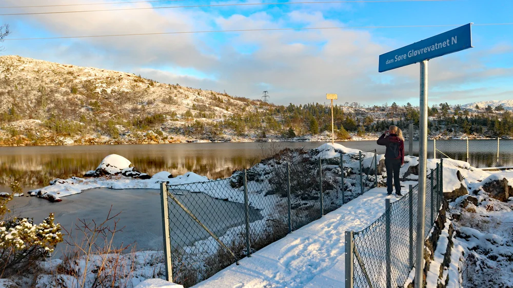
Follow the path north towards Ulriken and then a little east to Søre Gløvrevatnet. Walk around the lake and then follow the path north over Gløvrehaugen. Follow the path to the right until you see the end of Nordre Gløvrevatnet.

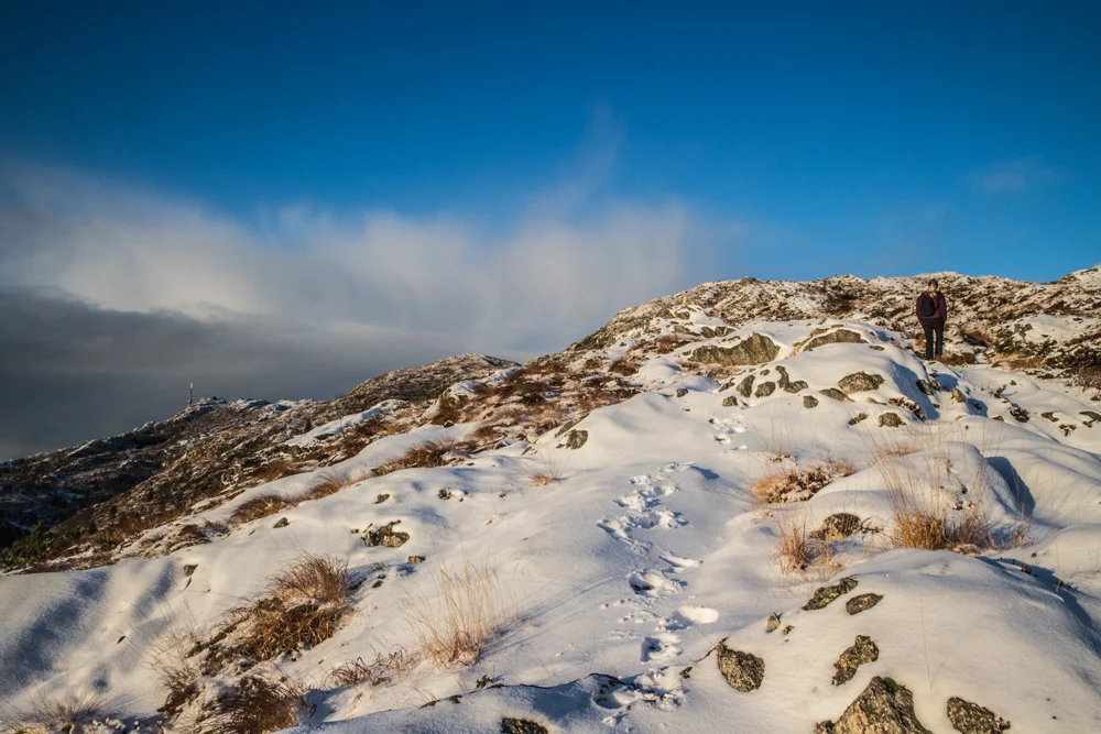
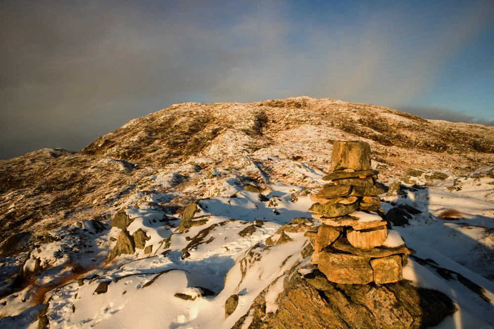
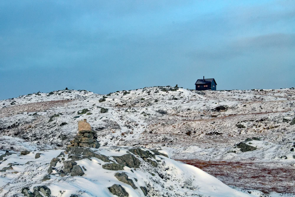
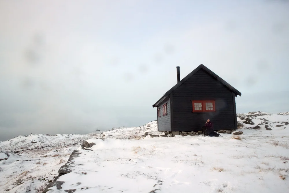
Herfra er det bare å gå rett frem opp fjellsiden kalt Soleibakkane. Fortsett videre nordover til det flater ut. Herfra går du sti til høyre mot Lidskjalv hytten. Dette er toppen av Vasslifjellet.

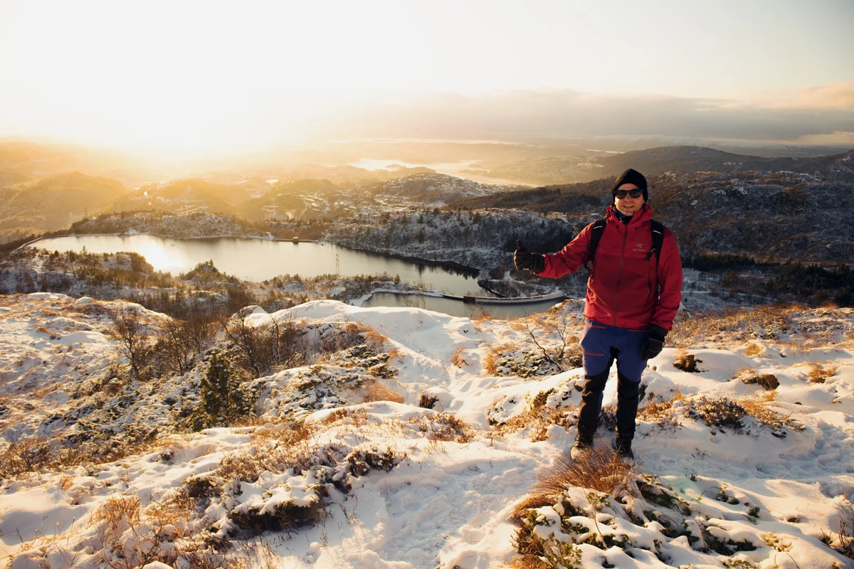
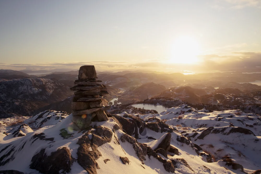
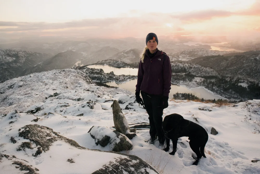
This is a nice place to take a break. Return the same way or continue inland towards Bergen.

Information

Vasslifjellet (629 m.)
Length round trip: approximately 10 km.
Time: about 3-4 hours.
Season: Spring, summer, autumn.  
Winter is coming.
Grading: Medium

Processing elevation data.. .

You use GPX files that you download from our server 100% at your own risk.

Accommodation nearby

Hiking nearby