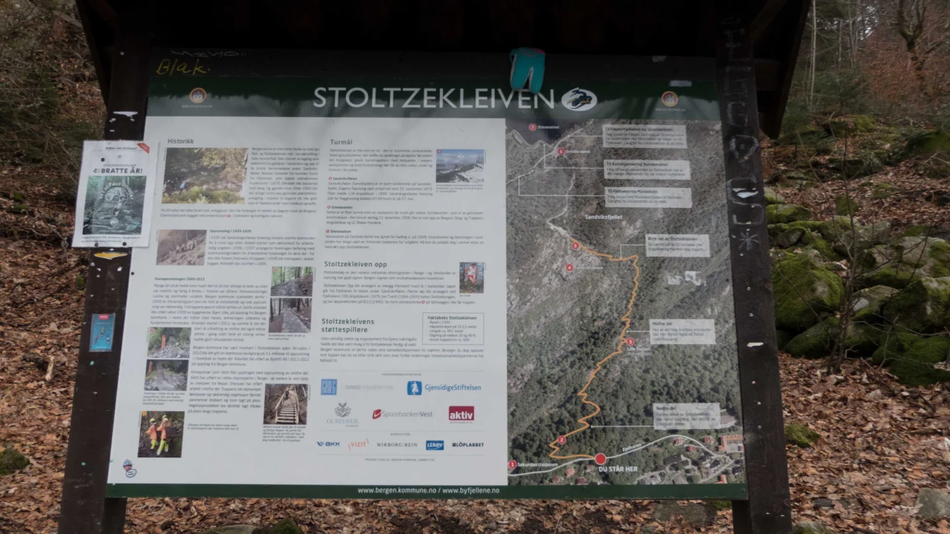
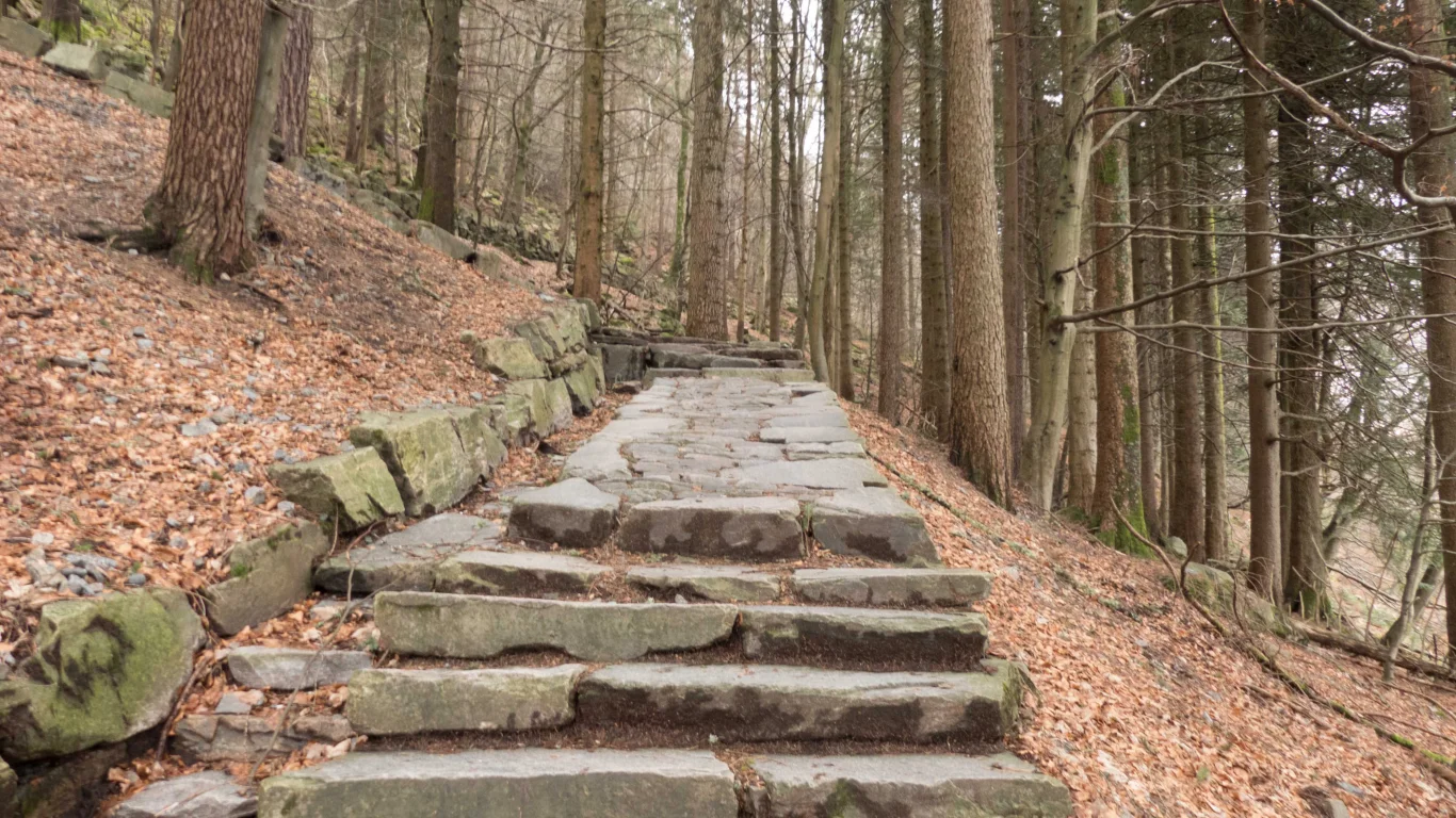
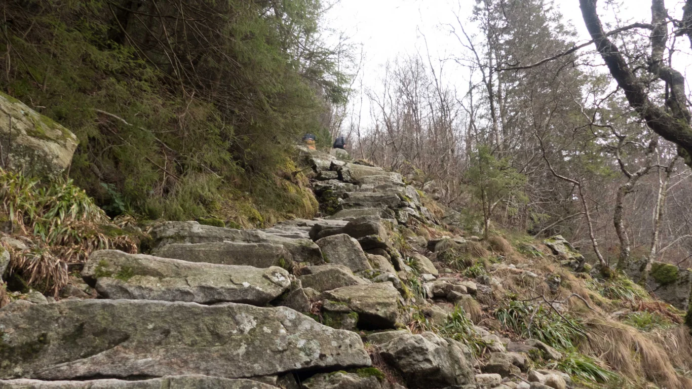
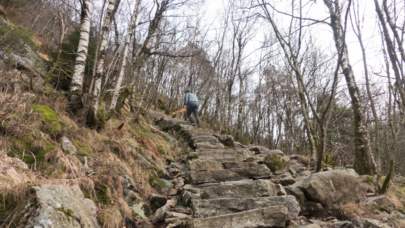
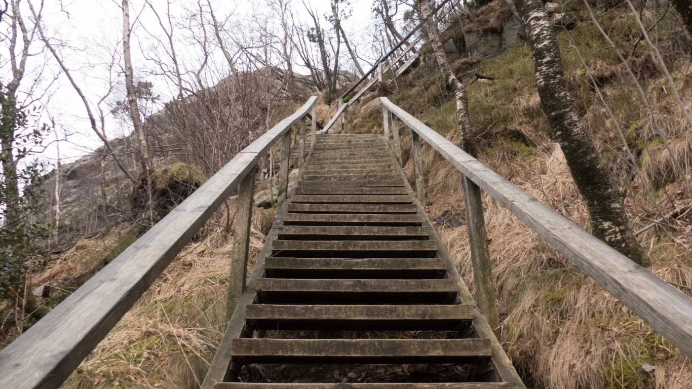
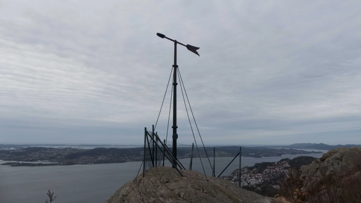
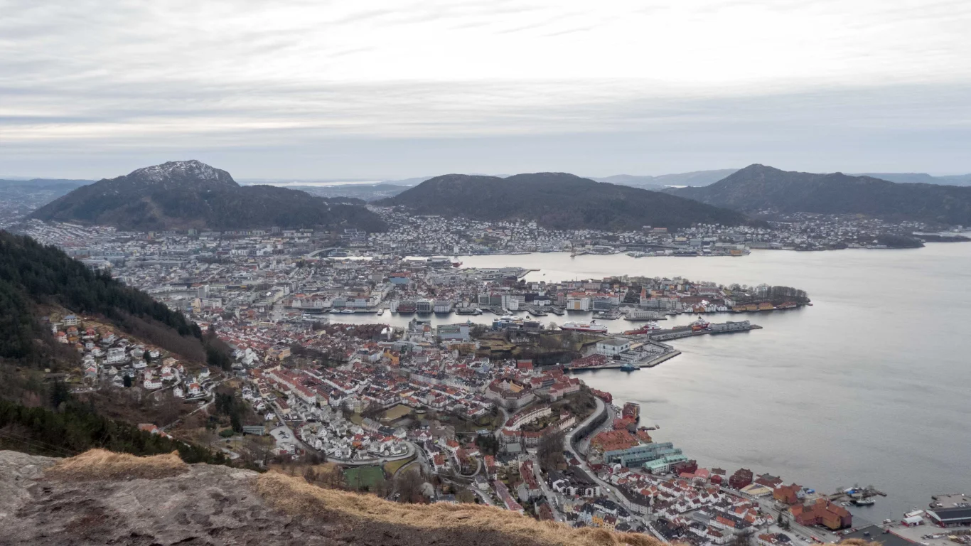
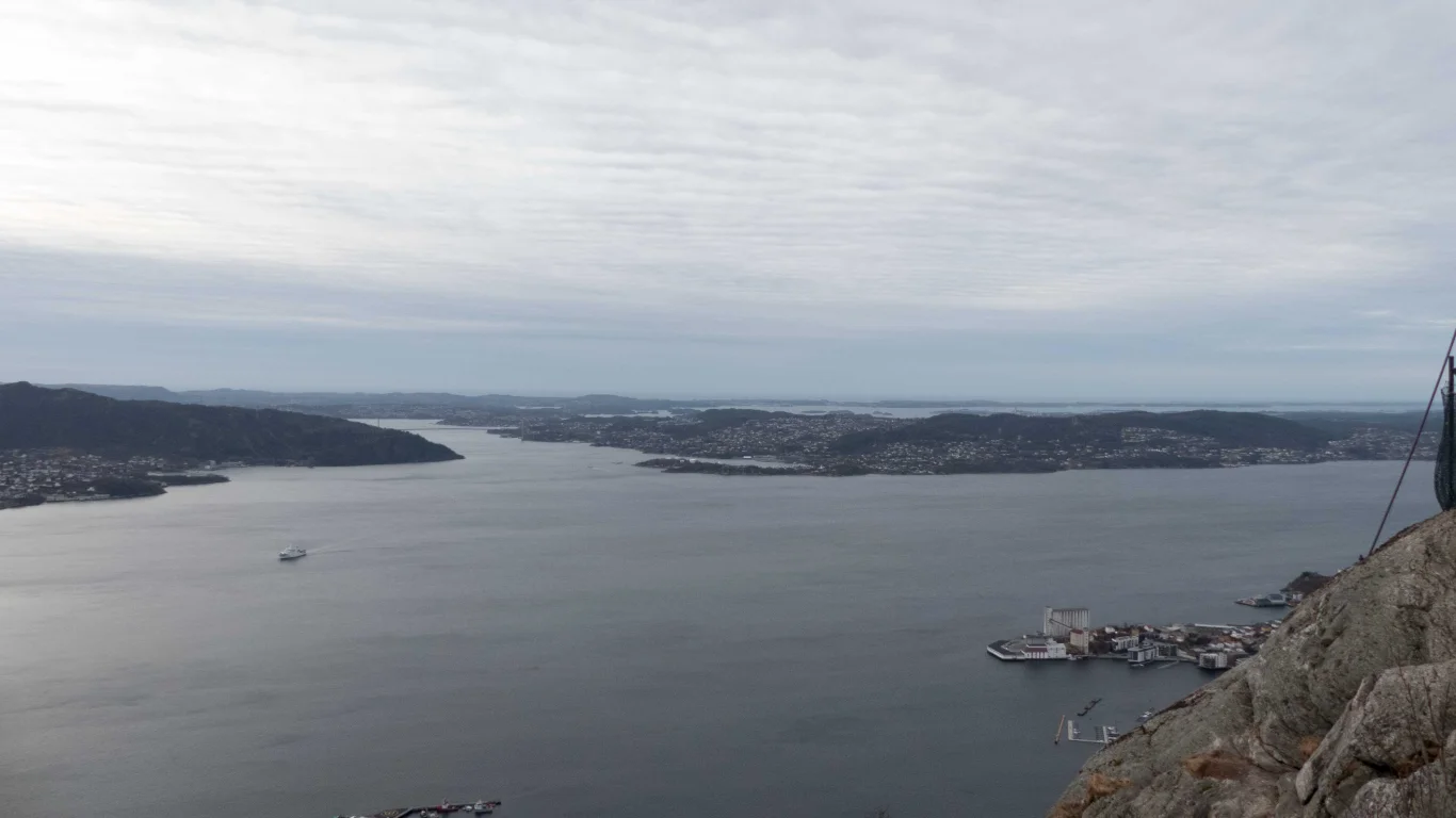
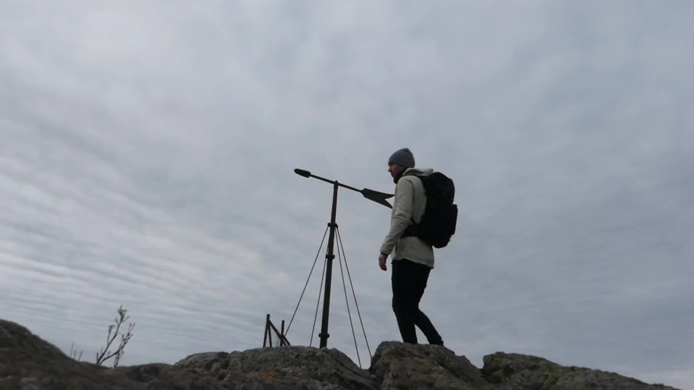
Stoltzekleiven to Sandvikspilen (378 m.a.s.l.)
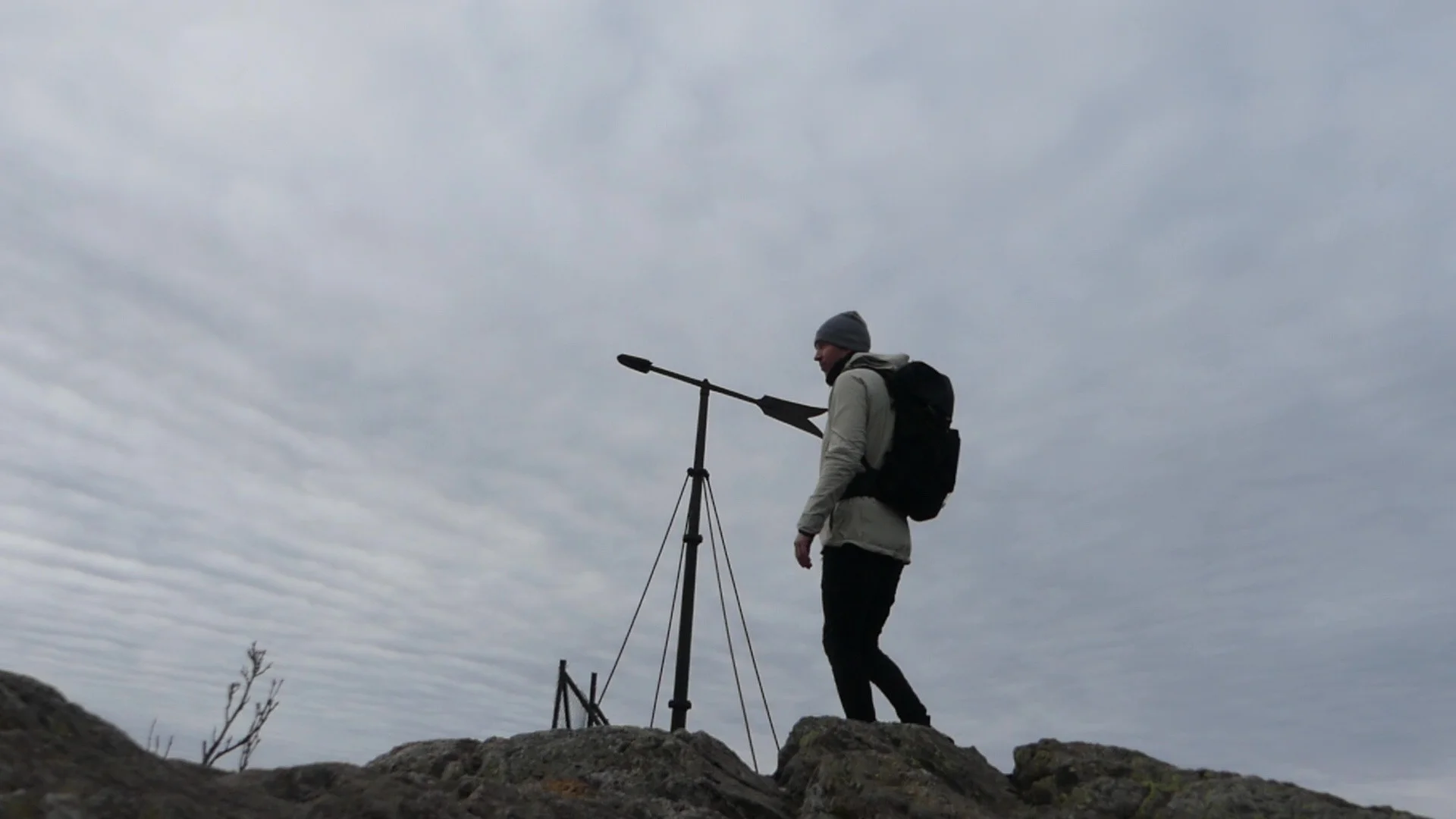
Photo: Admin

Processing elevation data.. .
You use GPX files that you download from our server 100% at your own risk.
Accommodation nearby


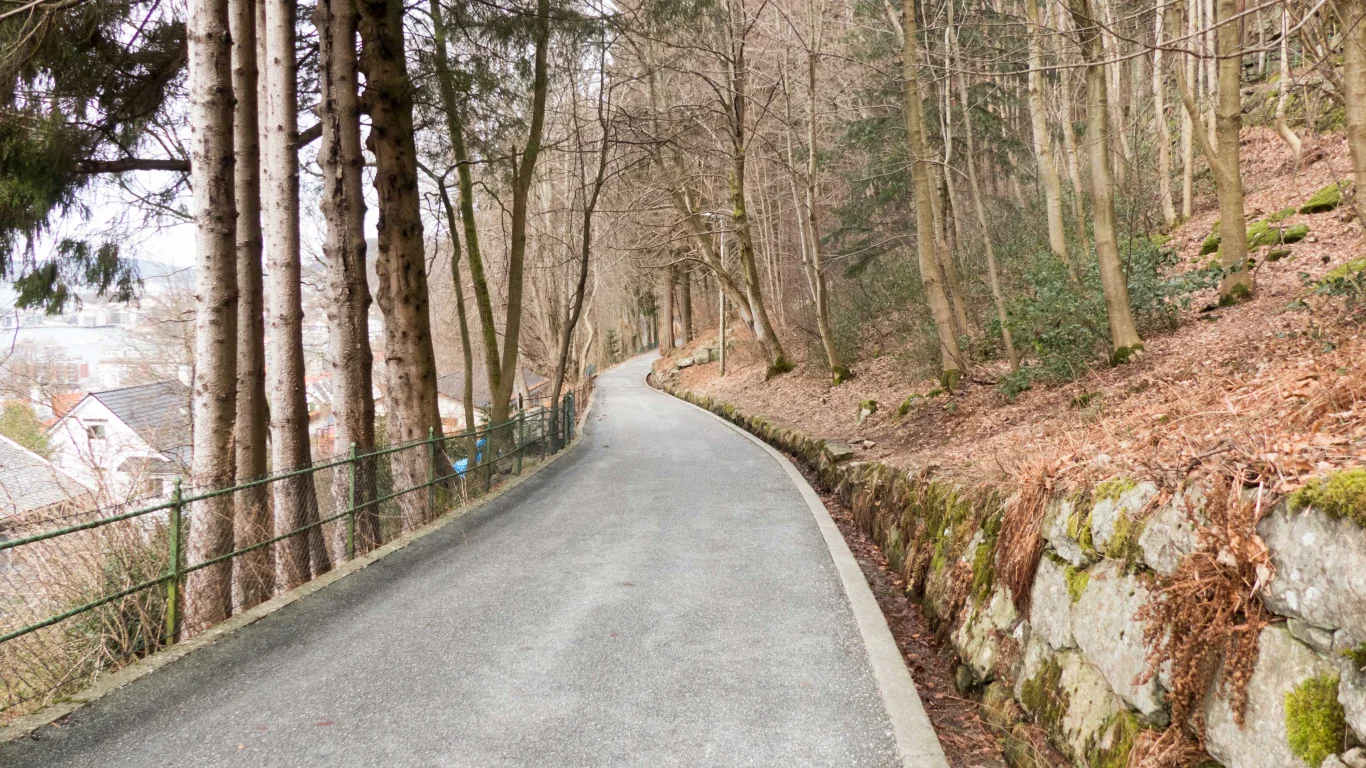
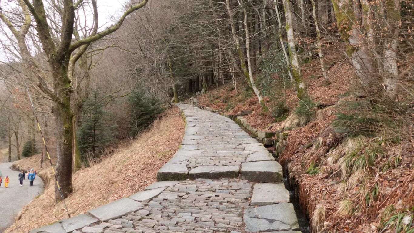
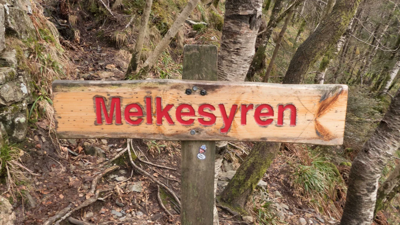
Hiking nearby


Mountain hike to Emanuel Mohn's view (480 m above sea level) from Eidsvåg - Bergen, Vestland
Premium
Distance
1.35 Km


Distance
2.88 Km

