
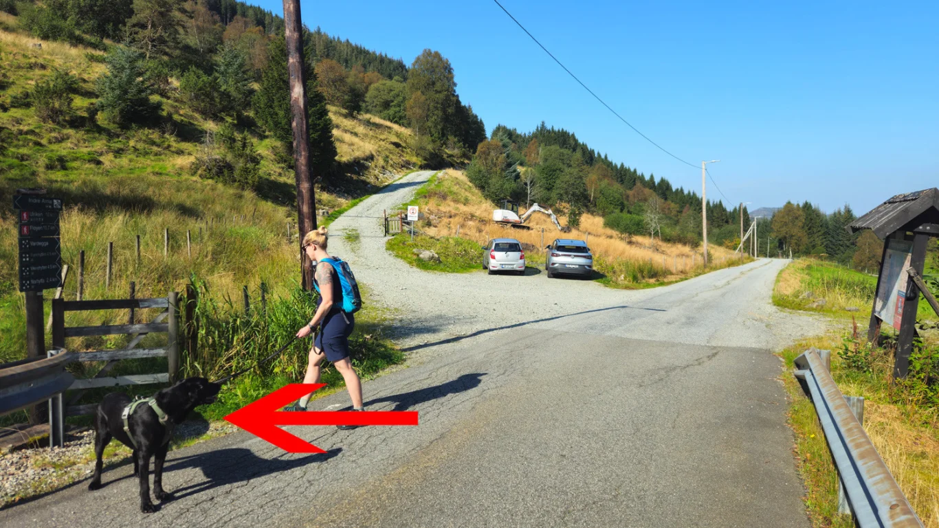
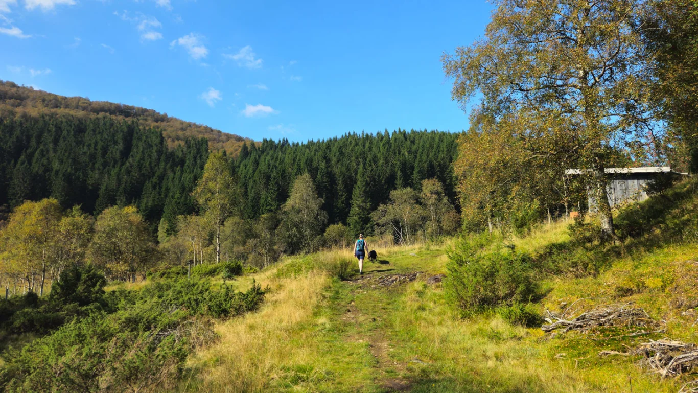
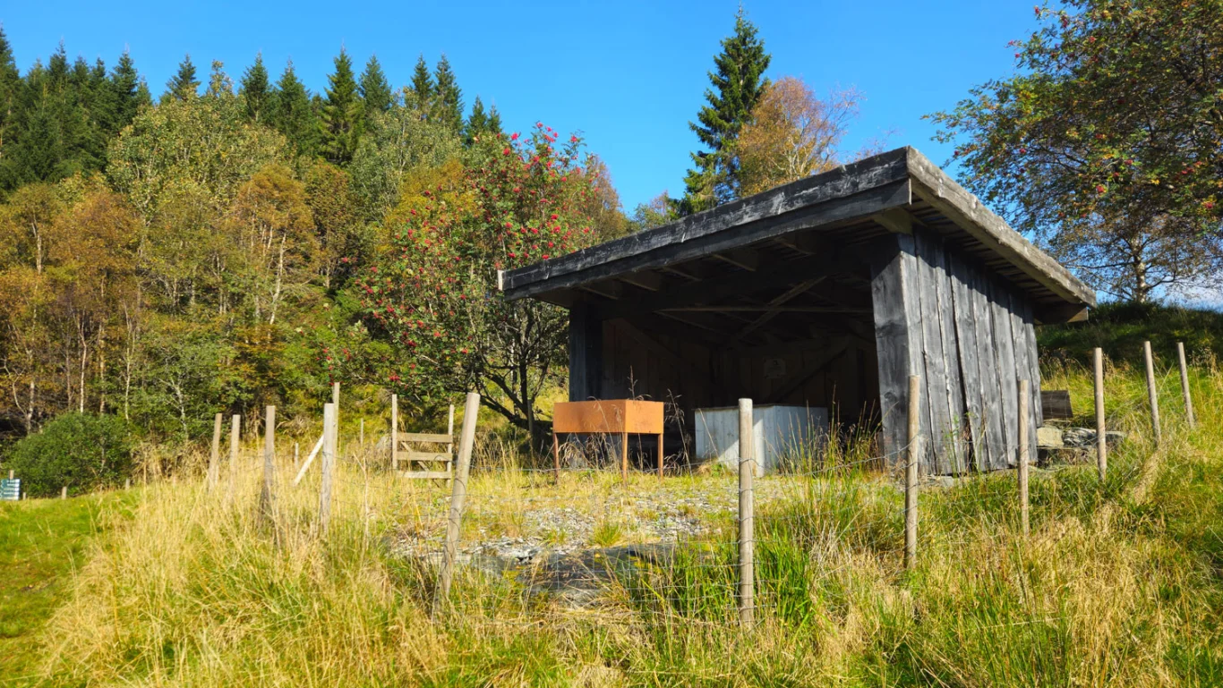
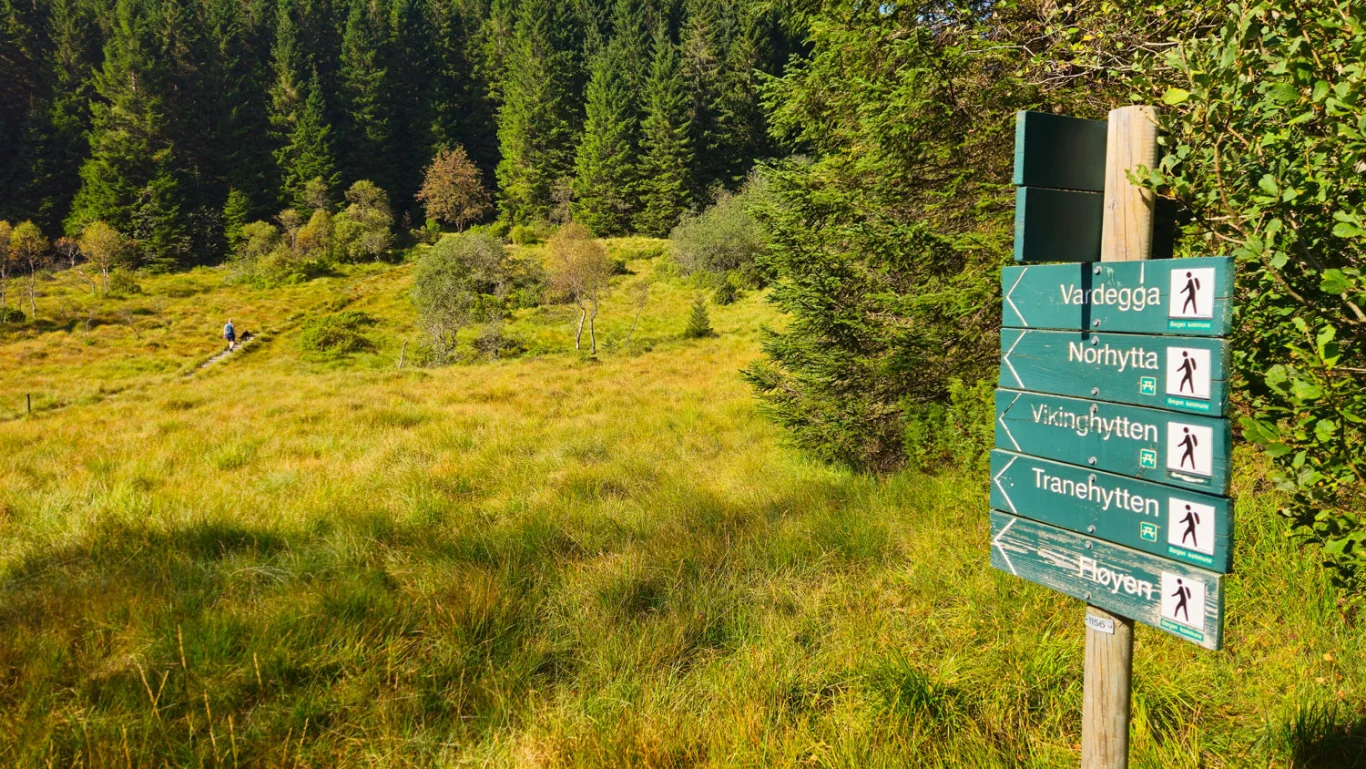
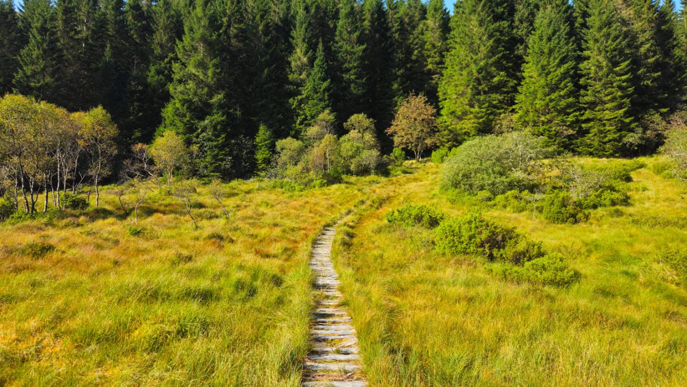
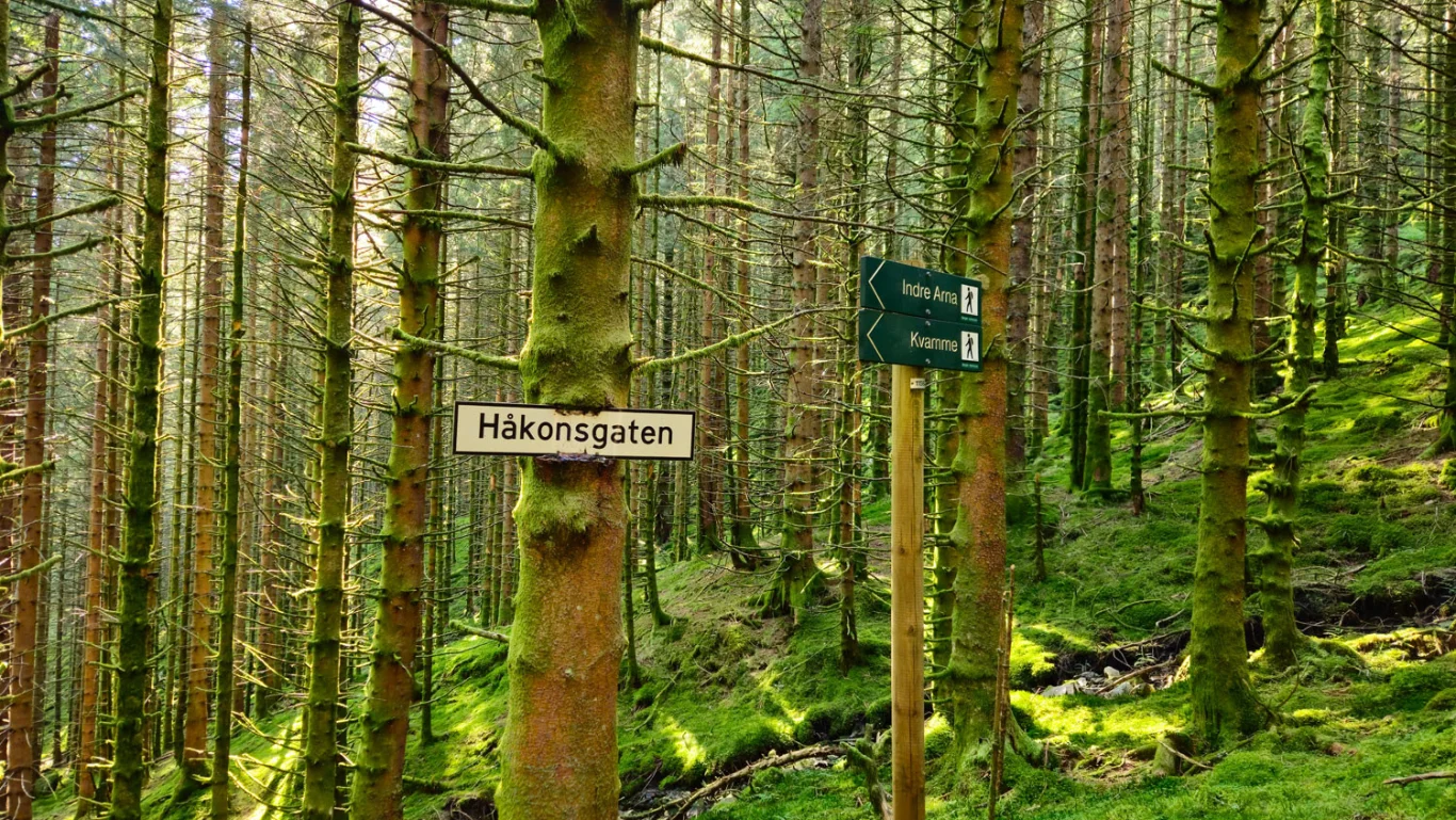
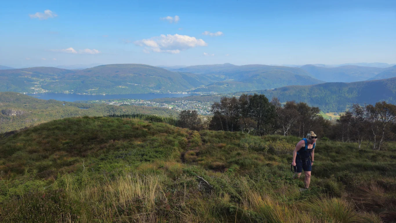
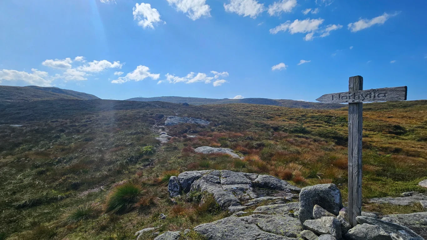
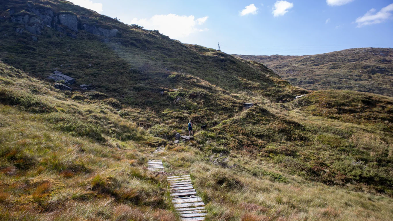
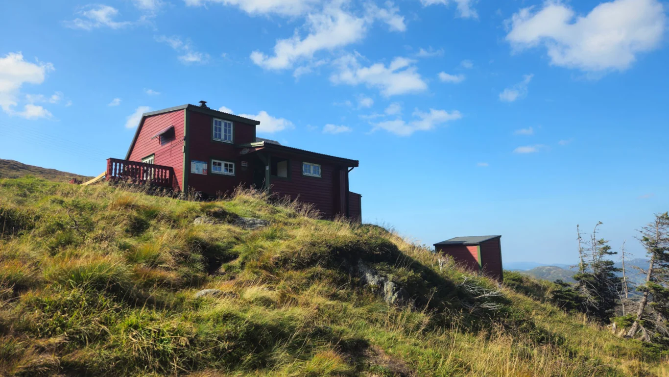
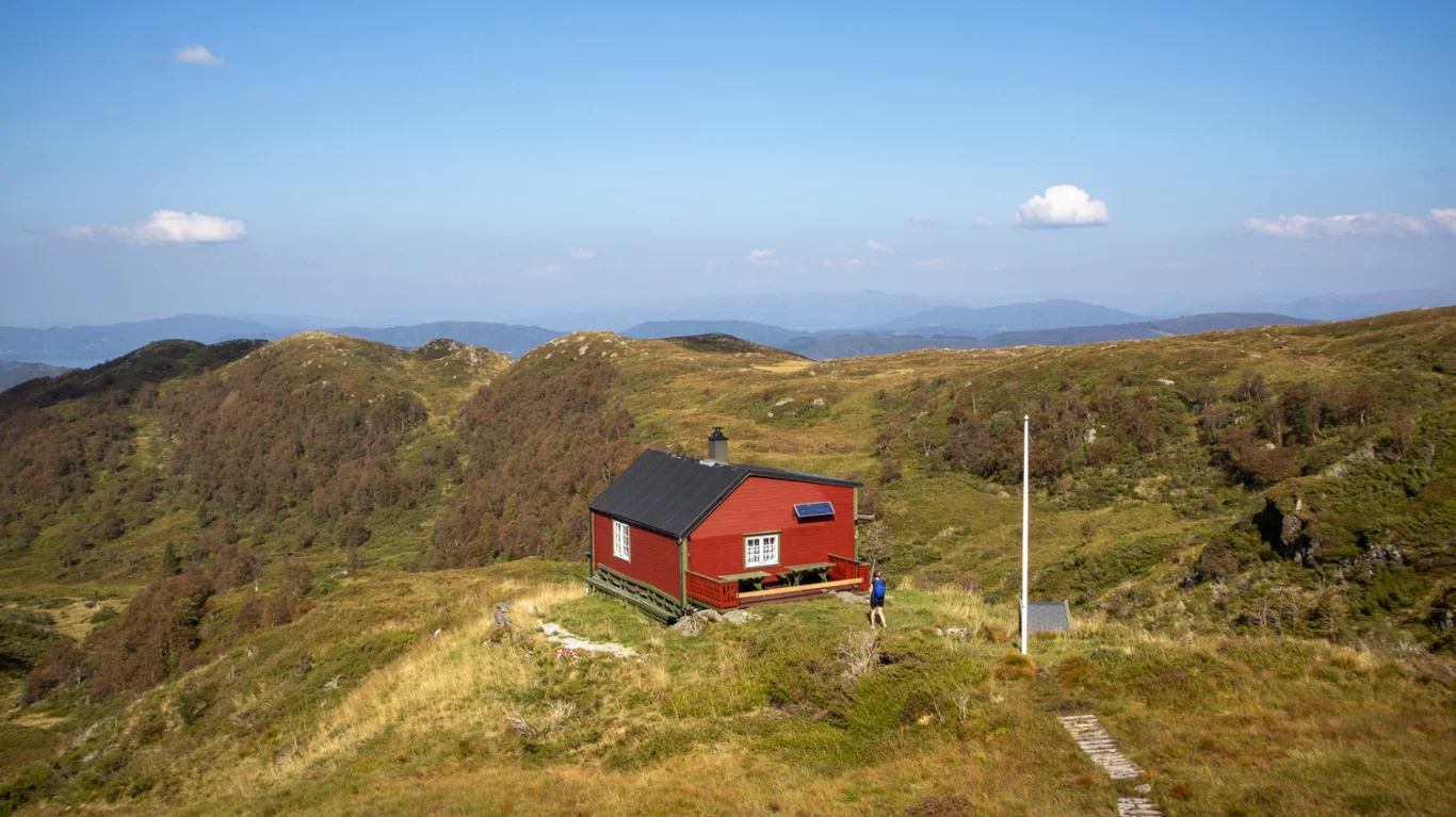
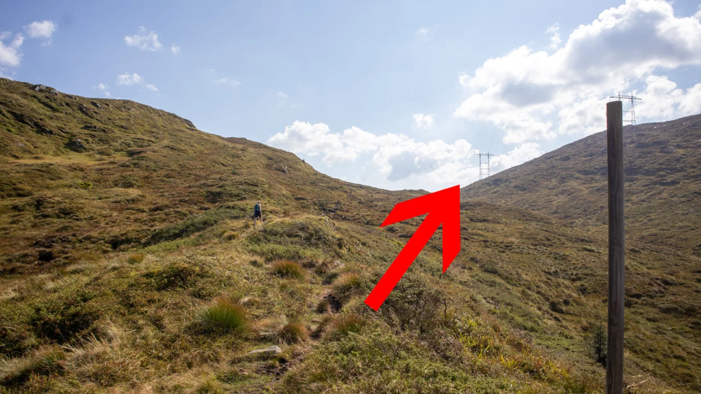
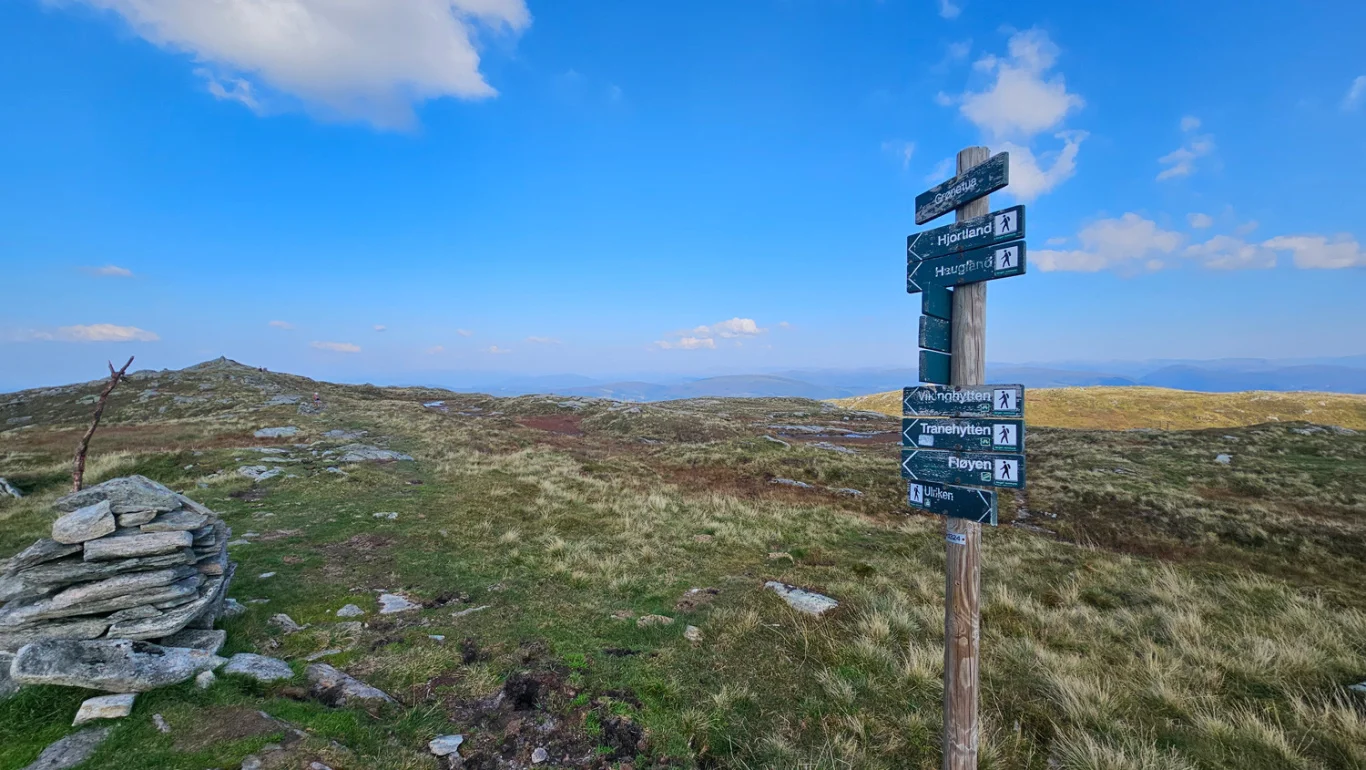
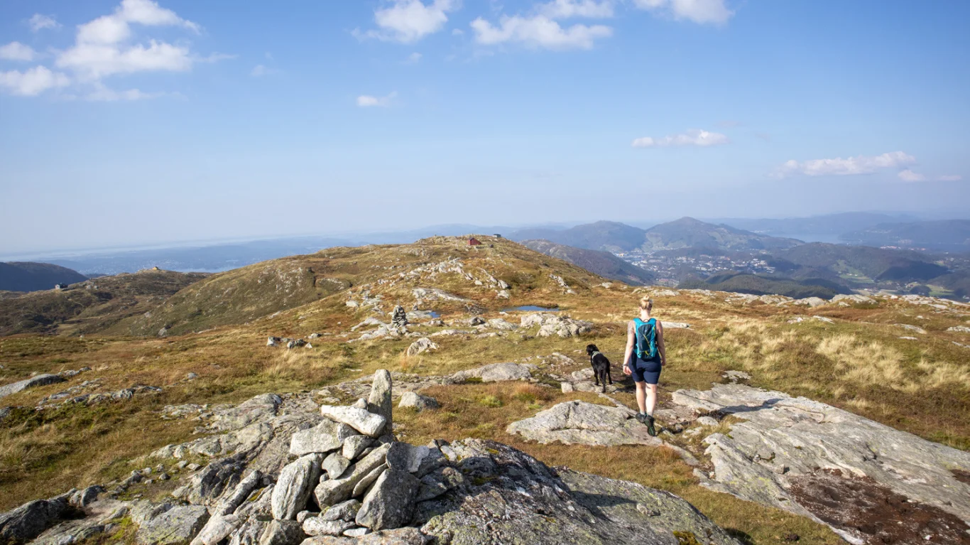
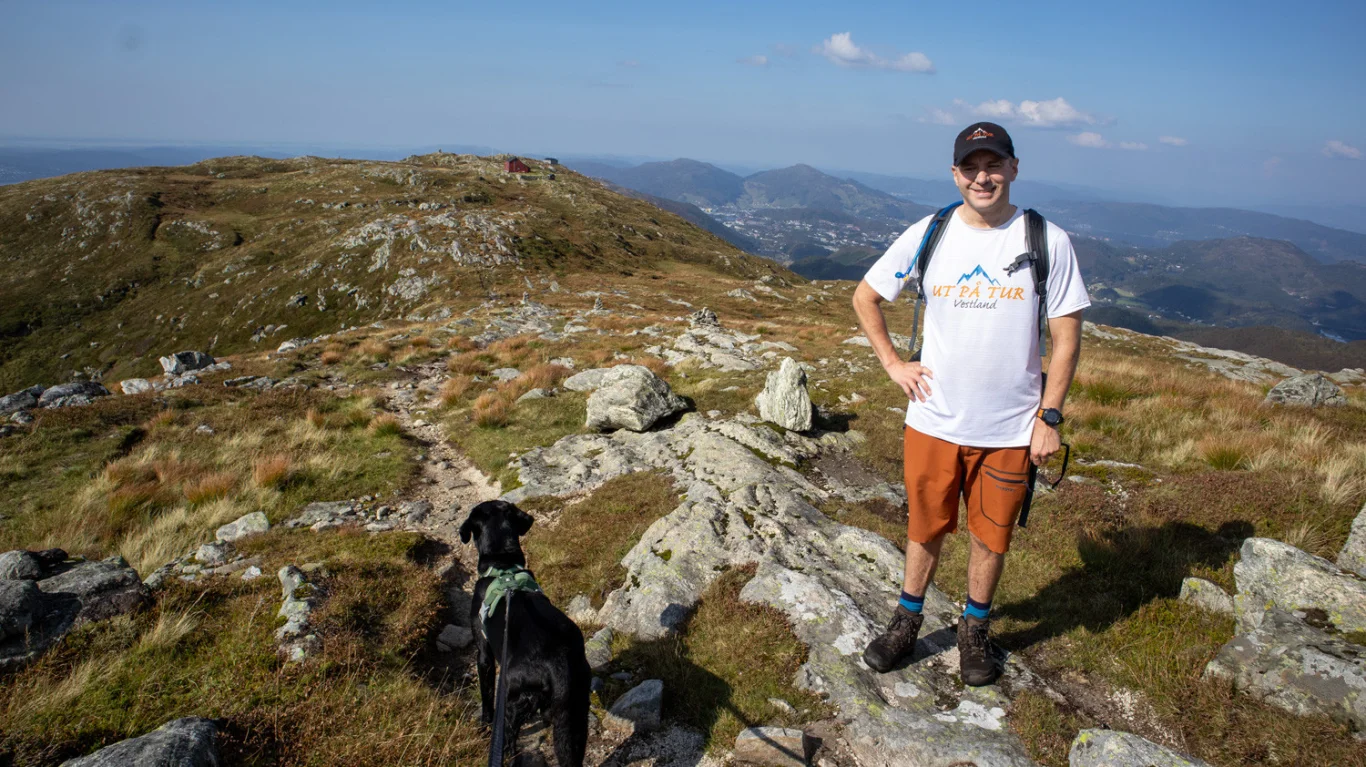
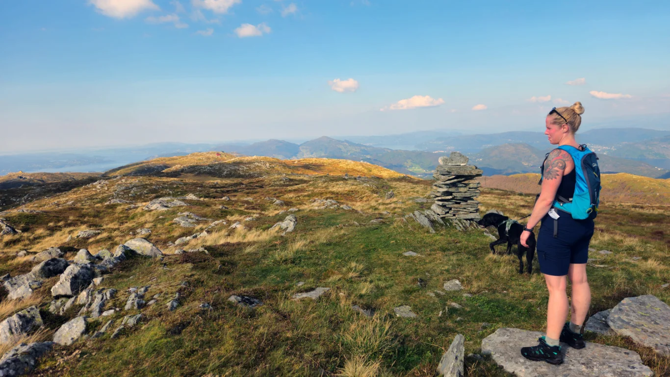
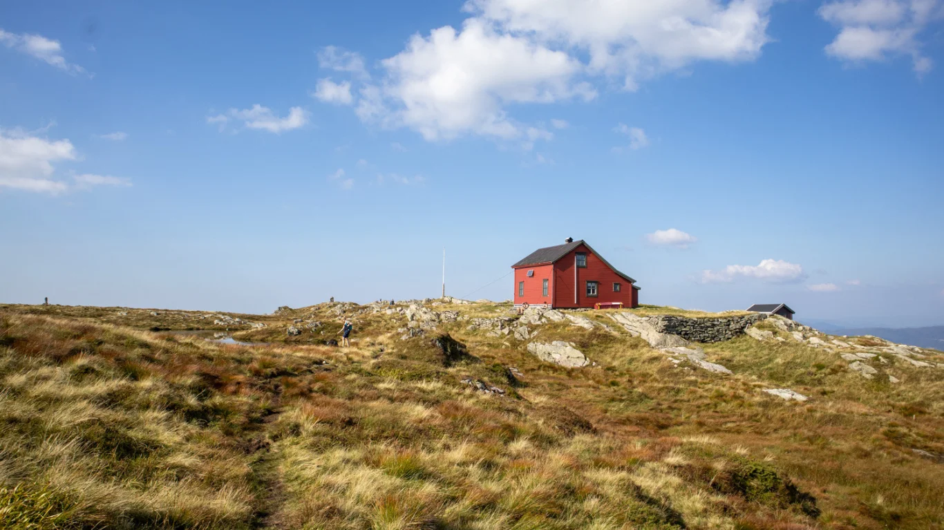
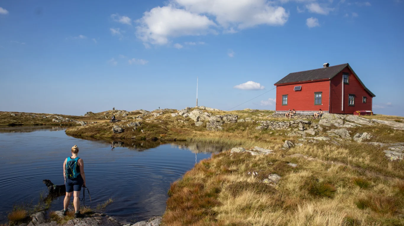
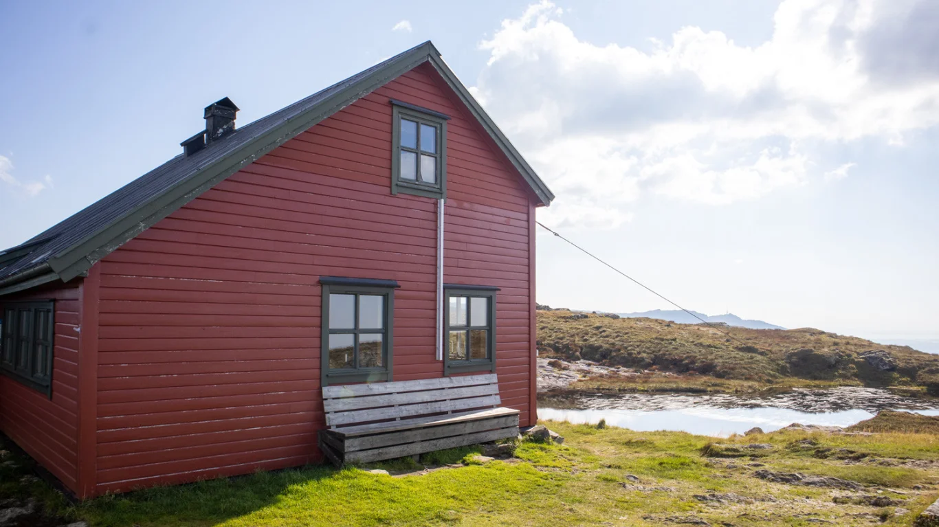
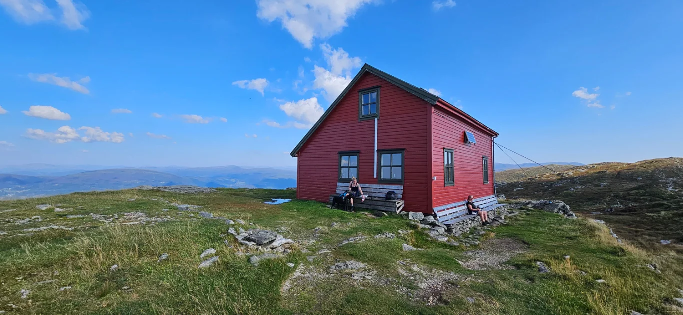
Hiking from Arna via Norhytten to Vikinghytten
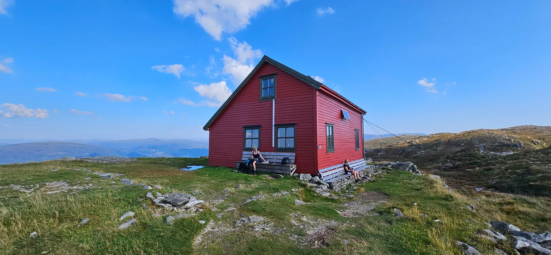
Vandretur fra Arna via Norhytten til Vikinghytten
Photo: Admin

The GPX Track is for guidance only and may contain errors. Use at your own risk.
– always check maps, weather and conditions before your trip.

Access

Approximately 30 minutes (22.8 km) drive from Bergen.

Parking

Parking in parking spaces along Kvamsvegen.

Description

The walk starts at the parking lot. You can either follow the tractor road to the right or go through the gate where the stream flows under the main road.

We recommend following the path through the gate, as this route is shorter. Follow the path up the pasture, and at the top you cross the plank bridge over the bog. Then you continue the path towards Norhytta through the spruce forest. Please note that some parts may be boggy and wet.

When you reach the mountain plateau, you will see a sign marked 'Norhytta'. Follow this path, and you will soon spot the cabin in the Distance . From Norhytta, continue south through Skitnedalen until you come under the high-voltage pylons. Here the path turns west, and you begin the climb up to the ridge of Grønetua. From here, connect to the path that leads from the Vidden trail. Follow the path and the cairn range north over Grønetua and Vardegga, and down to Vikinghytten, which is visible from a good Distance .

At the Viking Cabin you will find benches where you can take a well-deserved break. We recommend returning the same way for a safe and familiar route back.

Information

Length: Approximately 8.8 km round trip
Time: Approximately 4 hours round trip
Elevation gain: 583 meters
Season: All year round
Grading: Medium

Processing elevation data.. .

You use GPX files that you download from our server 100% at your own risk.

Accommodation nearby

Hiking nearby