The GPX Track is for guidance only and may contain errors. Use at your own risk.
– always check maps, weather and conditions before your trip.
This tour goes from Bergen city center and over the mountain to Arna Station and by train back to the city.
Vi starter ved Fløibanen og man kan velge å gå eller ta banen opp til Fløyen. Så følger man turveien opp og forbi Rundemannen og videre inn på stien mot Vidden i Bergen. Etter ca. 1 km deler stien seg og følg så skilting mot Vikinghytten. På denne turen går man forbi mange hytter drevet av forskjellige idrettslag i Bergen. De er ofte åpne i helgene og det er mulig å stikke innom og kjøpe kaffe, vafler og annet. Sjekk hyttenes nettsider eller Facebooksider for oppdaterte åpningstider. Ved Tranehytten renner det en større bekk hvor det er mulig å fylle på med vann, så det ble stivalget denne gangen. Neste etappe går over Vardegga som byr på en fantastisk panoramautsikt, her ser du mot havet i vest og de store fjellrekkene østover, med Gullfjellet i front. Her er det skikkelig høyfjellsfølelse og i tillegg langt mindre turtrafikk enn over Vidden. Etter en flat og fin vandring over Vardegga starter nedstigningen mot Arna. Følg skilitingen mot Norhytten og Indre Arna. De første meterene er det litt vanskelig å få øye på stien, men gå mot de små steinvardene samt de store høyspentmastene. Norhytten er vanligvis betjent i helgene. Etter et besøk her følger man stien ned mot Arna og deretter langs bilveien siste stykket ned til togstasjonen i Arna.
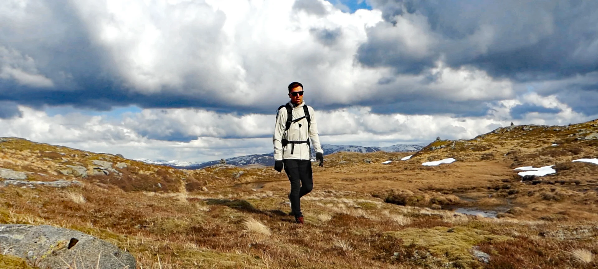
This is a fantastic hike in varied mountain terrain and with great viewpoints. Some small sections are very muddy so good hiking shoes are recommended.