
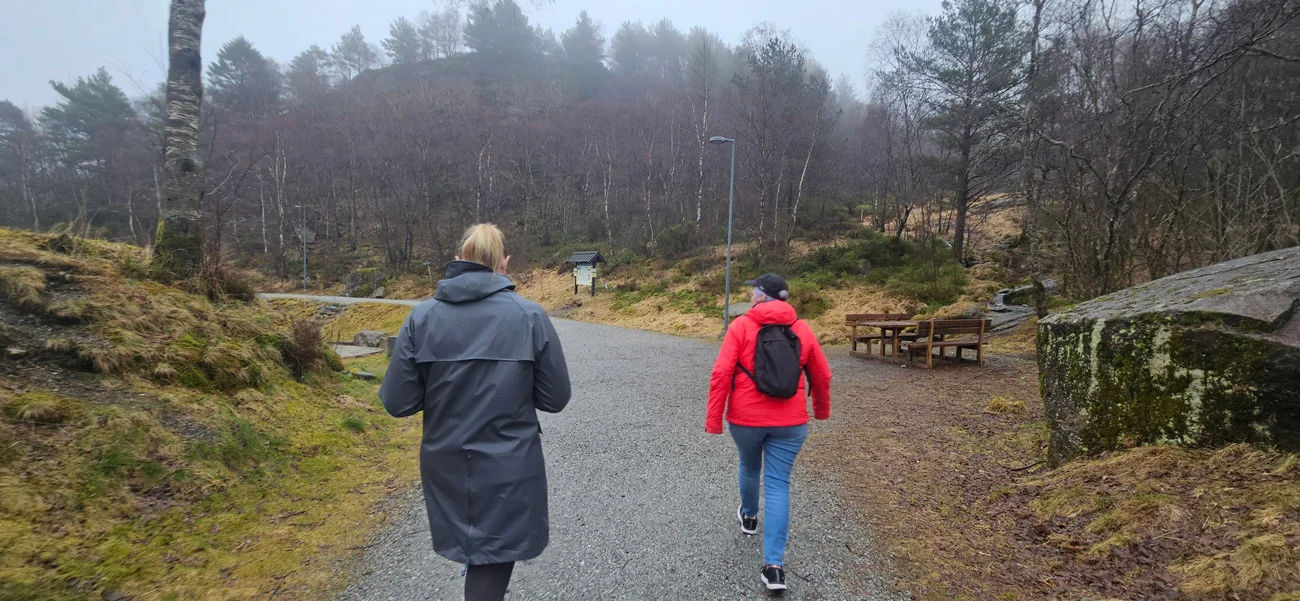
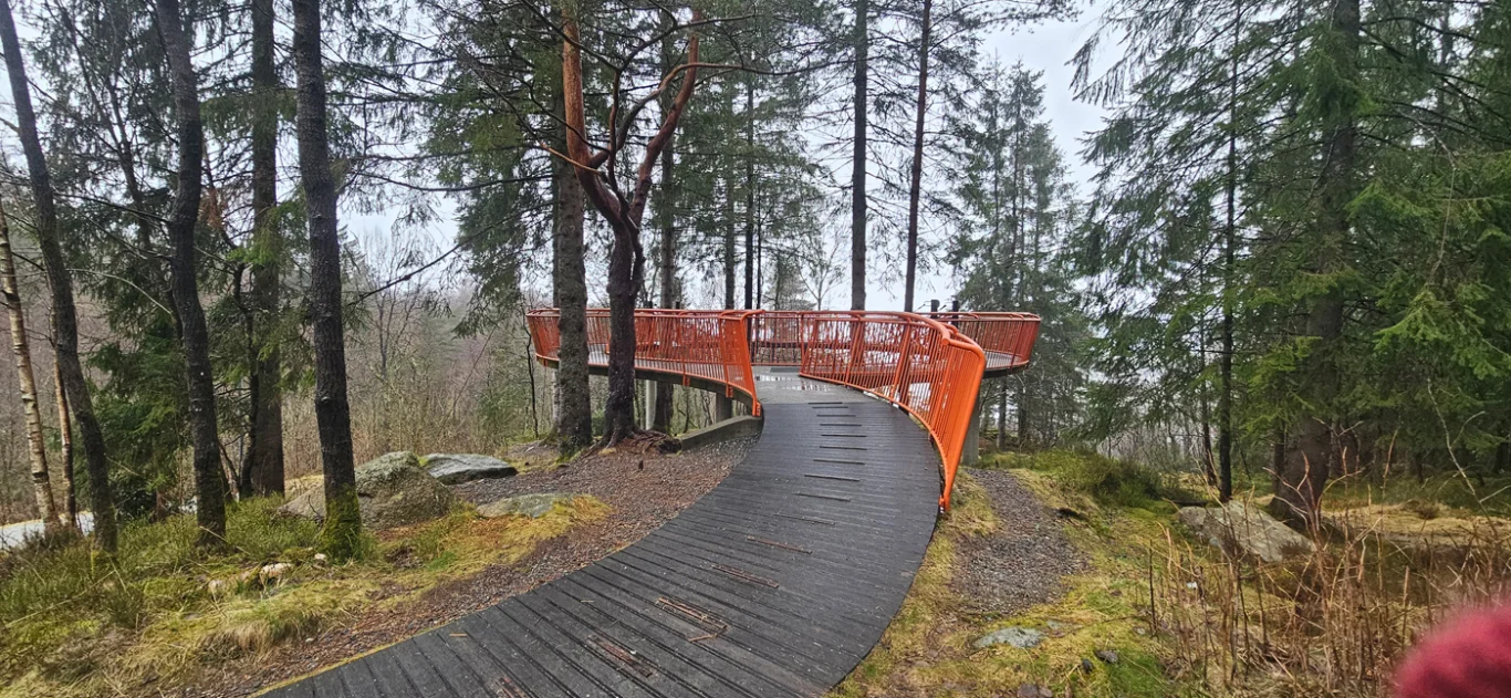
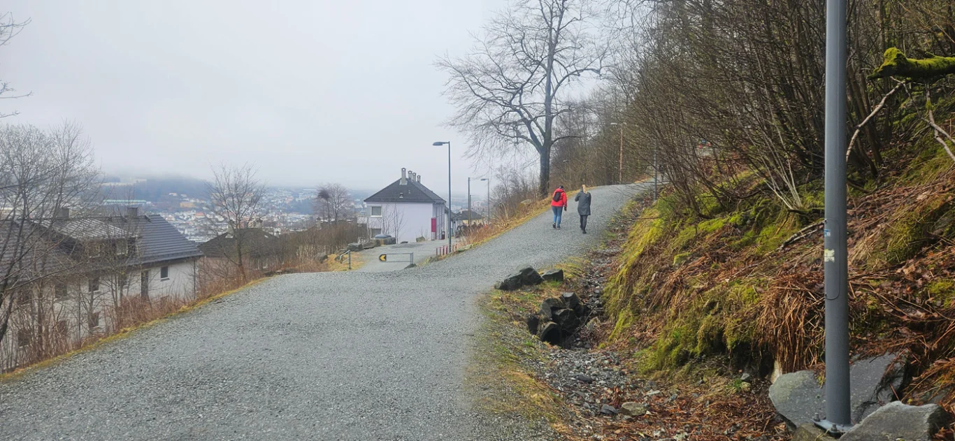
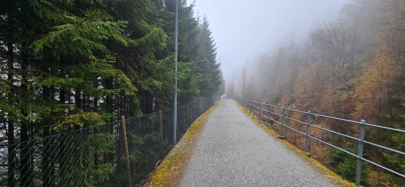
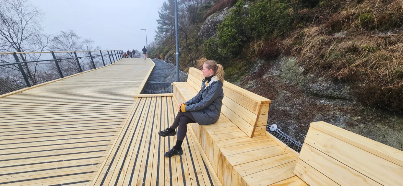
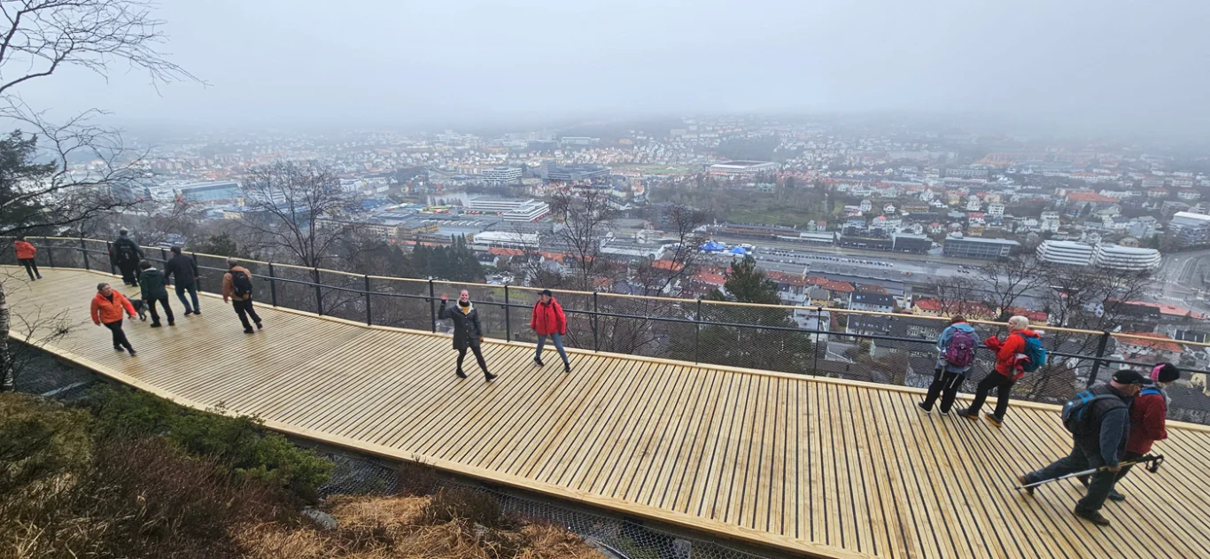
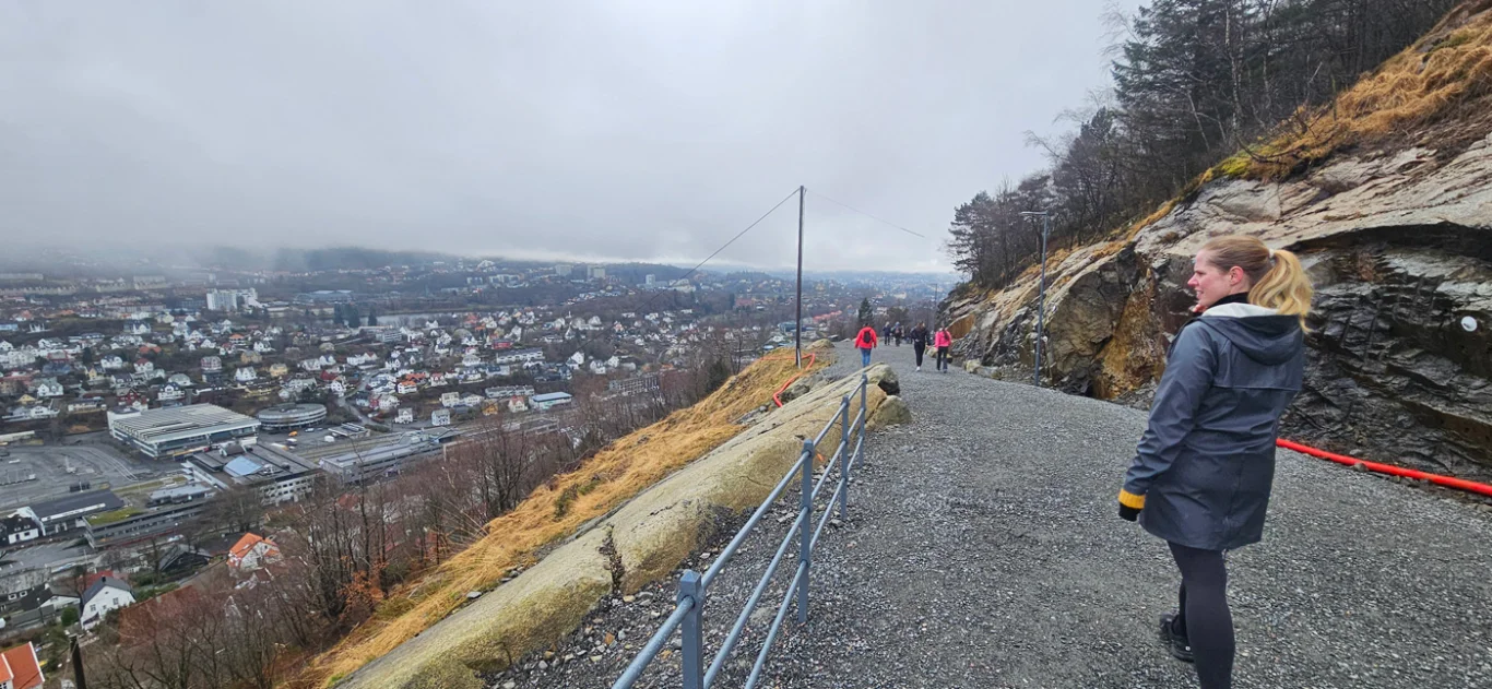
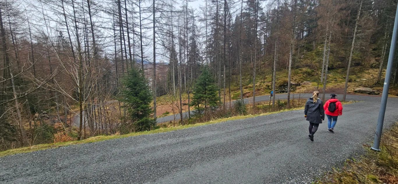
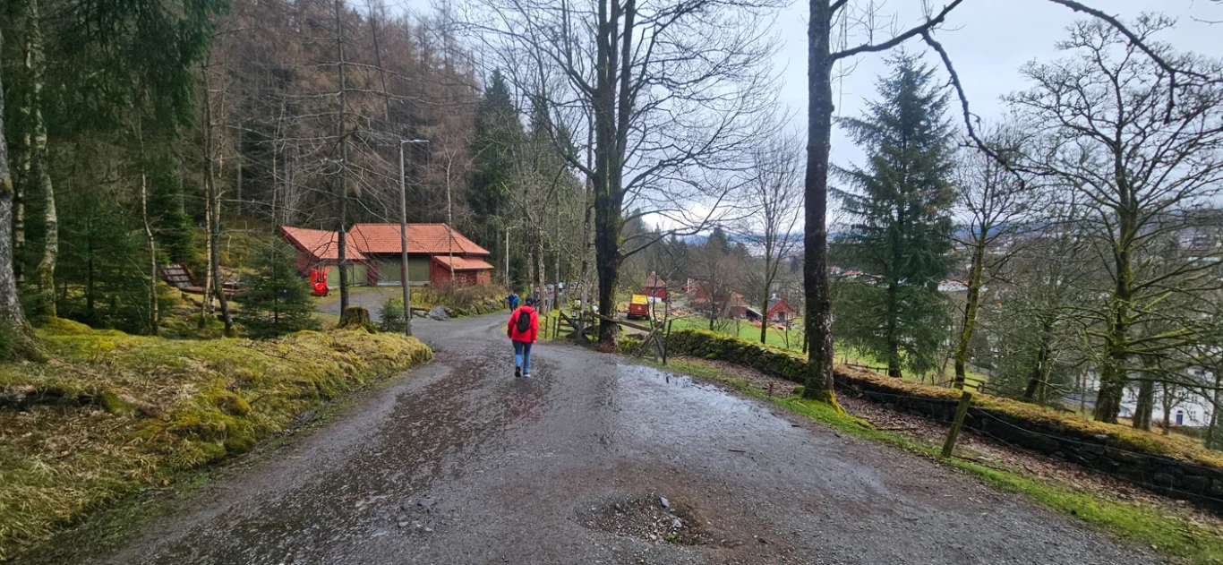
The leafy path from Melkeplassen to Fjøsanger
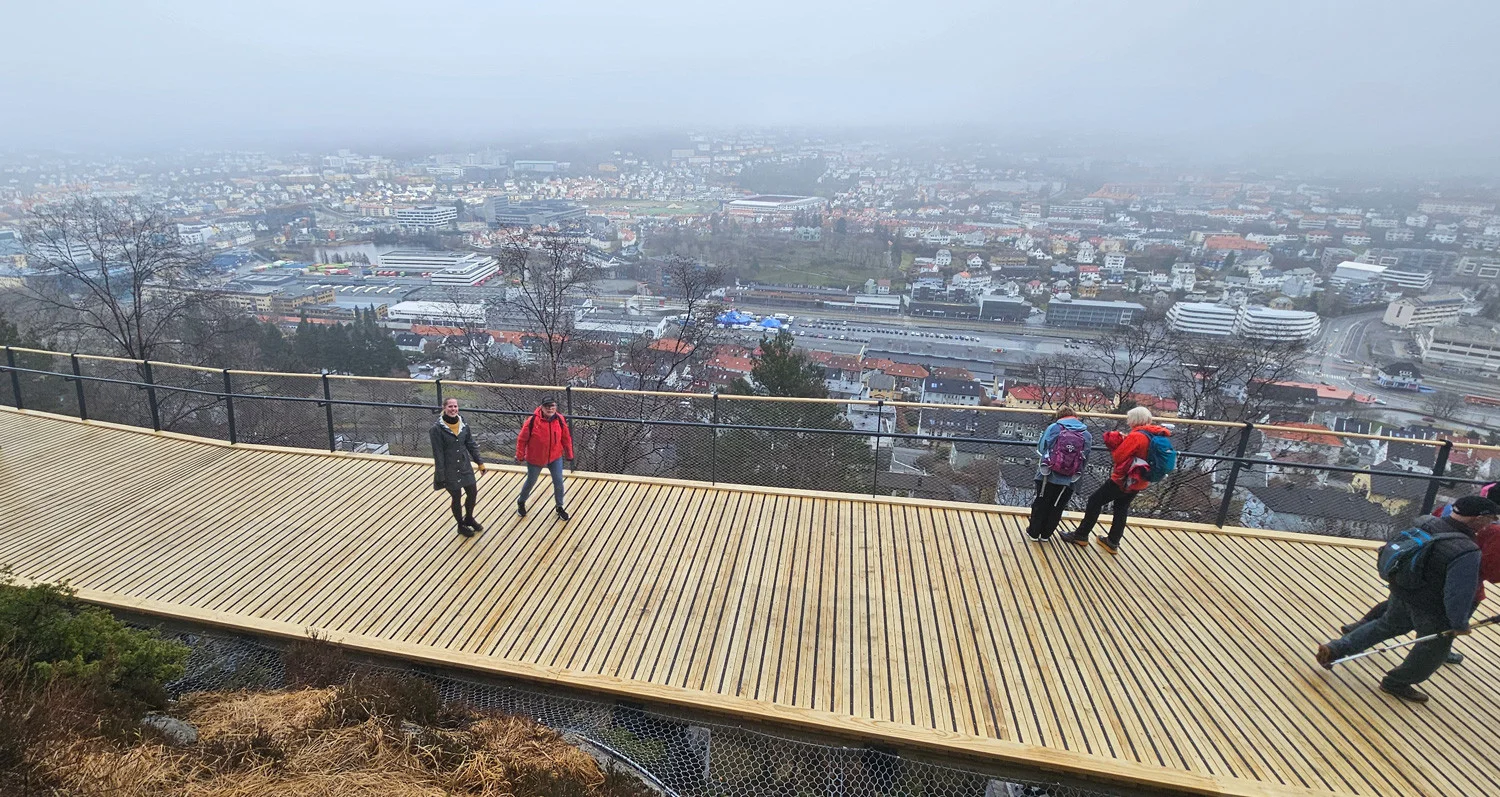
Løvstien fra Melkeplassen til Fjøsanger
Photo: Admin

The GPX Track is for guidance only and may contain errors. Use at your own risk.
– always check maps, weather and conditions before your trip.

Access

From Bergen, drive over the Puddefjord Bridge towards Laksevåg. After a few hundred meters, turn left at the sign 'Fyllingsdalen' towards Melkeplassen.

Parking

Parking Melkeplassen on Monrad Mjeldes vei. If you are going from Fjøsanger you can park at Spar in Fjøsangerkrysset, or at Bueskytterbanen further out towards Bønes (Langeskogen).

Description

The Løvstien path runs along the foot of Løvstakken and is a continuous hiking trail all the way from Melkeplassen to Langegården / Fjøsanger. On this trip we have chosen to start at Melkeplassen.

From Monrad Mjeldes vei you will see a sign marked 'Løvstakken'. Follow the stairs through the residential area to the football field where the Løvstien starts. The gravel path is wide and nice, illuminated and along the path there are several play areas for children. In addition, there are many picnic areas with tables and benches as well as prepared campfire sites. The path is relatively flat and is perfect for strollers.

With many different activity options along the way, Løvstien is a great hiking trail for children and adults, with beautiful views of Bergensdalen.

Information

Length: 7 km.
Approx. 196 meters of elevation gain  
Time: Approximately 2 hours
Season: All year round.
Grading: Simple

Processing elevation data.. .

You use GPX files that you download from our server 100% at your own risk.

Accommodation nearby

Hiking nearby