
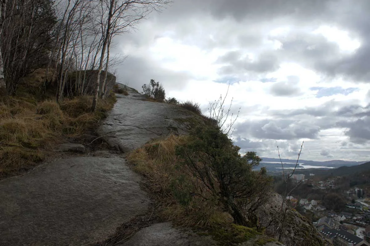
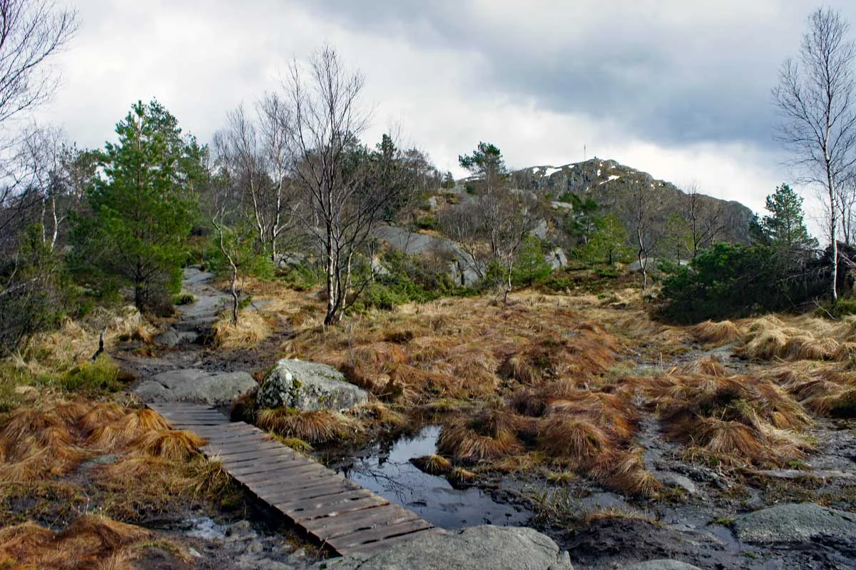
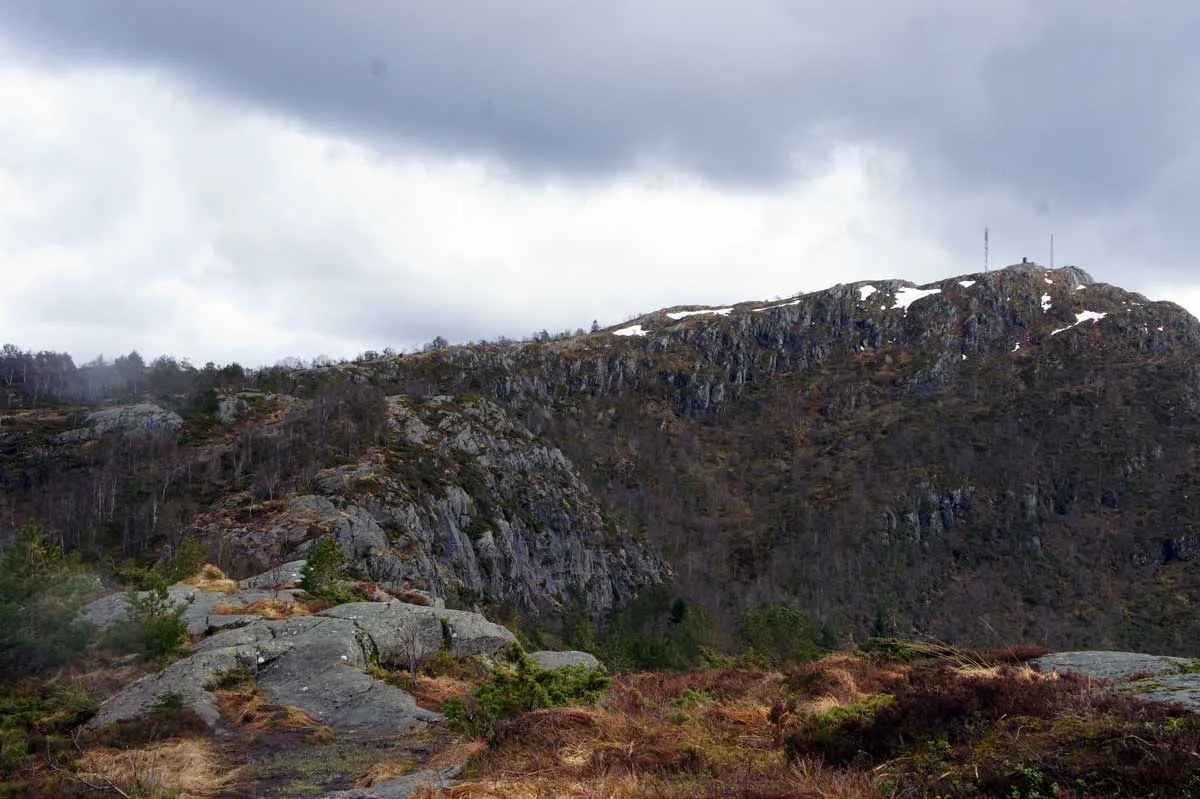
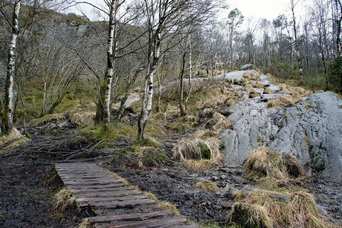
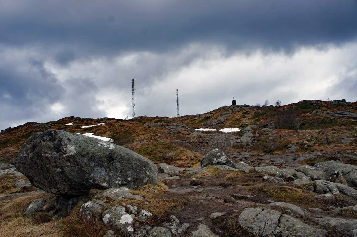
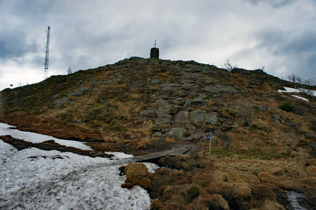
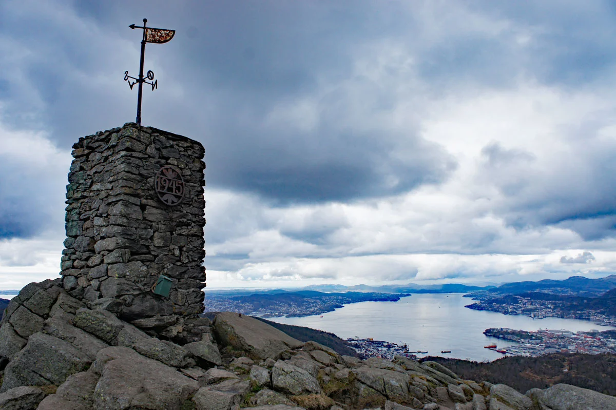
The Løvstakken (477 m) from Melkeplassen
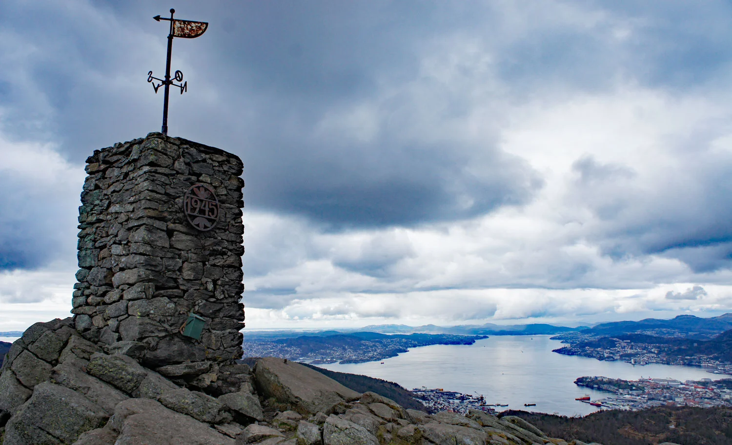
Løvstakken (477 moh) fra Melkeplassen
Photo: Admin

The GPX Track is for guidance only and may contain errors. Use at your own risk.
– always check maps, weather and conditions before your trip.

Access

From Bergen city center, drive over the Puddefjord Bridge and continue towards Laksevåg. Turn left onto Fyllingsveien and drive to Melkeplassen. Park in Monrad Mjeldes vei.

Parking

Parking Melkeplassen in Monrad Mjeldes vei.

Description

This is one of Bergen's most famous mountain hikes.

From here you will see a sign marked 'Løvstakken'. Follow the stairs through the housing estate to the football field where the Løvstien trail starts. From here the trail goes steeply up to Ravnefjellet where it flattens out. Then it goes down a bit before crossing a bog. Then it is a steady climb all the way to the top cairn. The cairn at Løvstakken is 3 meters high and can be seen from a long Distance . It was erected in 1945 on the initiative of the “King of the Gullfjells” Anton Berge.

Information

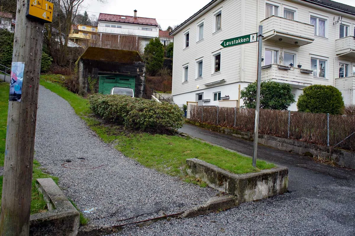
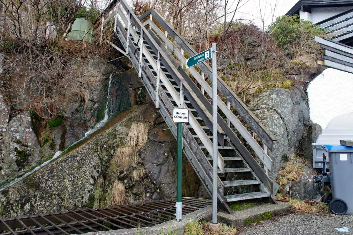
The Løvstakken 477 m.
Length round trip: approximately 5.1 km.
Time: 1-3 hours round trip.
Season: All year round. Stings in winter.
Grading: Medium

Processing elevation data.. .

You use GPX files that you download from our server 100% at your own risk.

Accommodation nearby

Hiking nearby