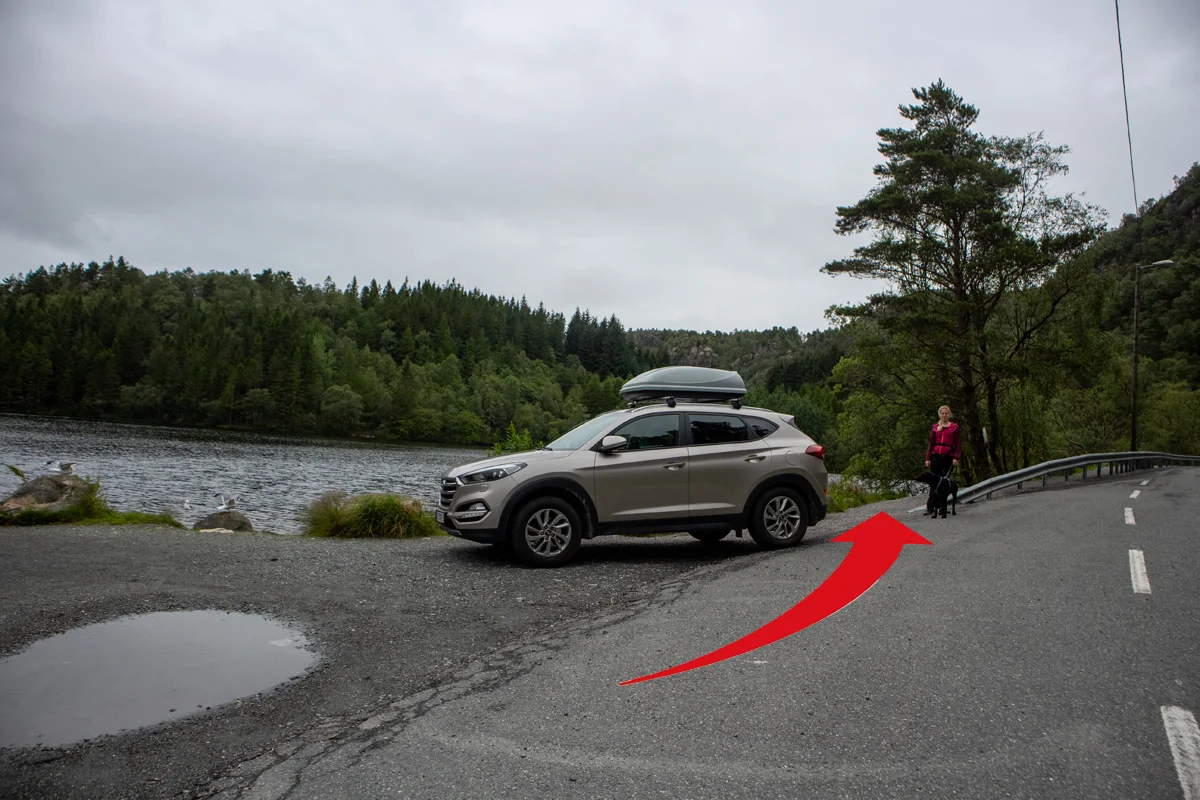
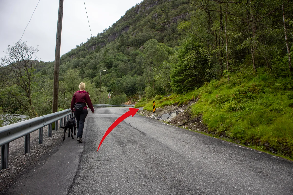
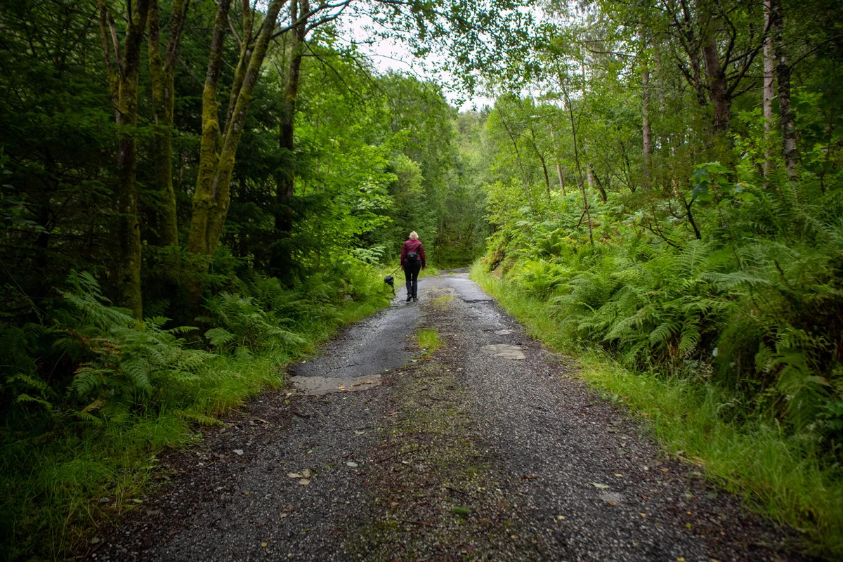
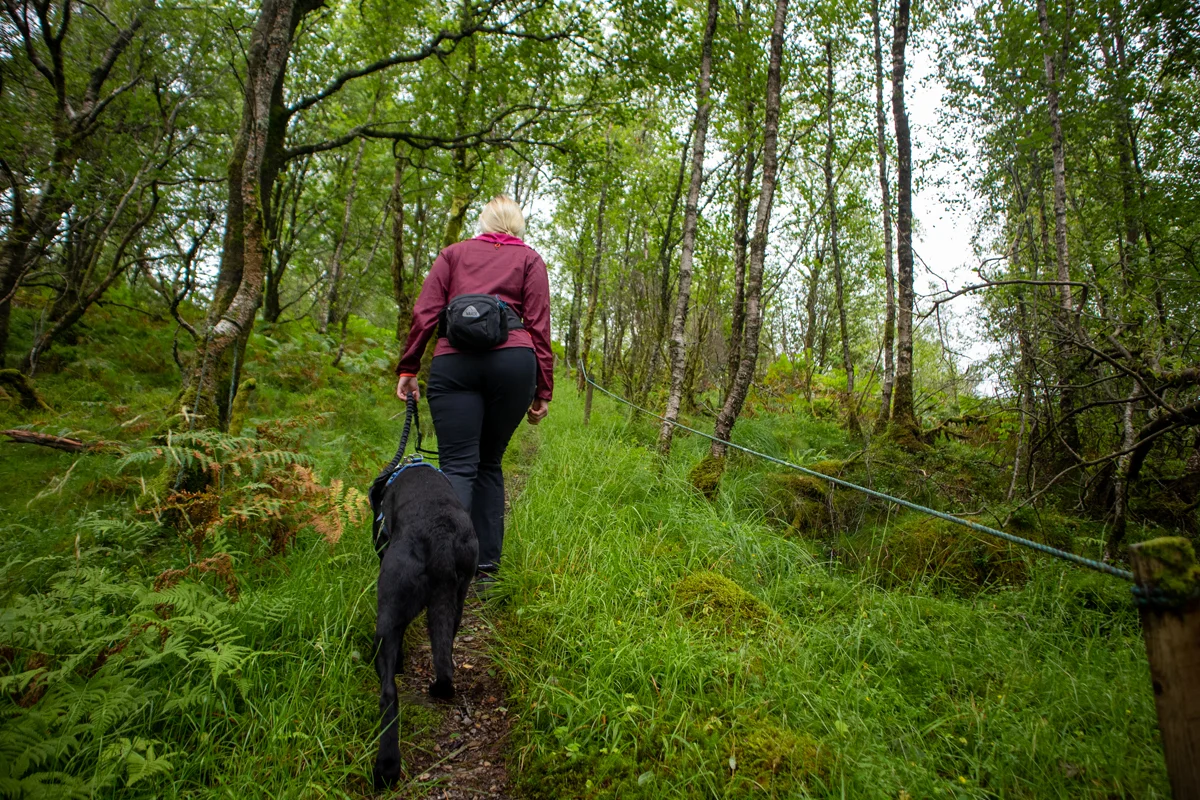
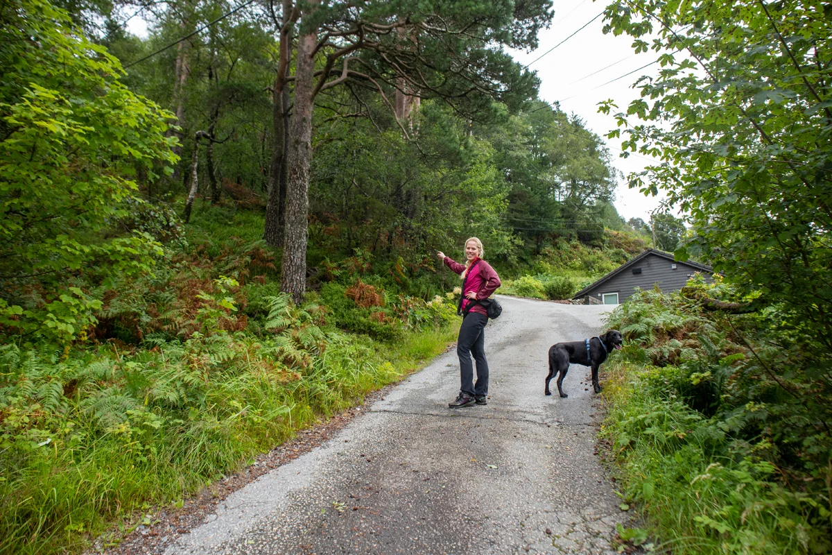
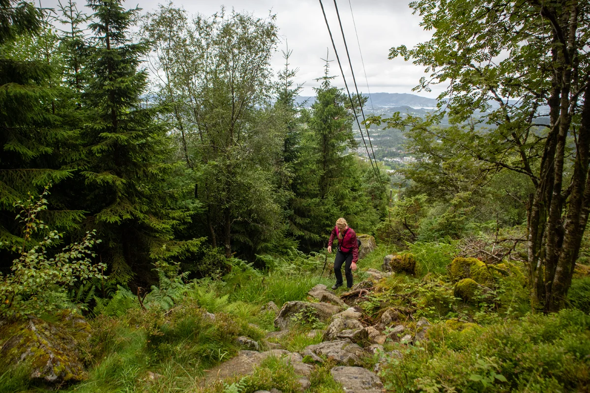
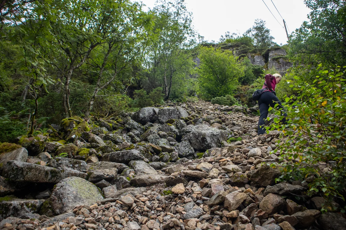
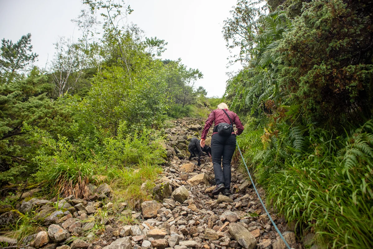
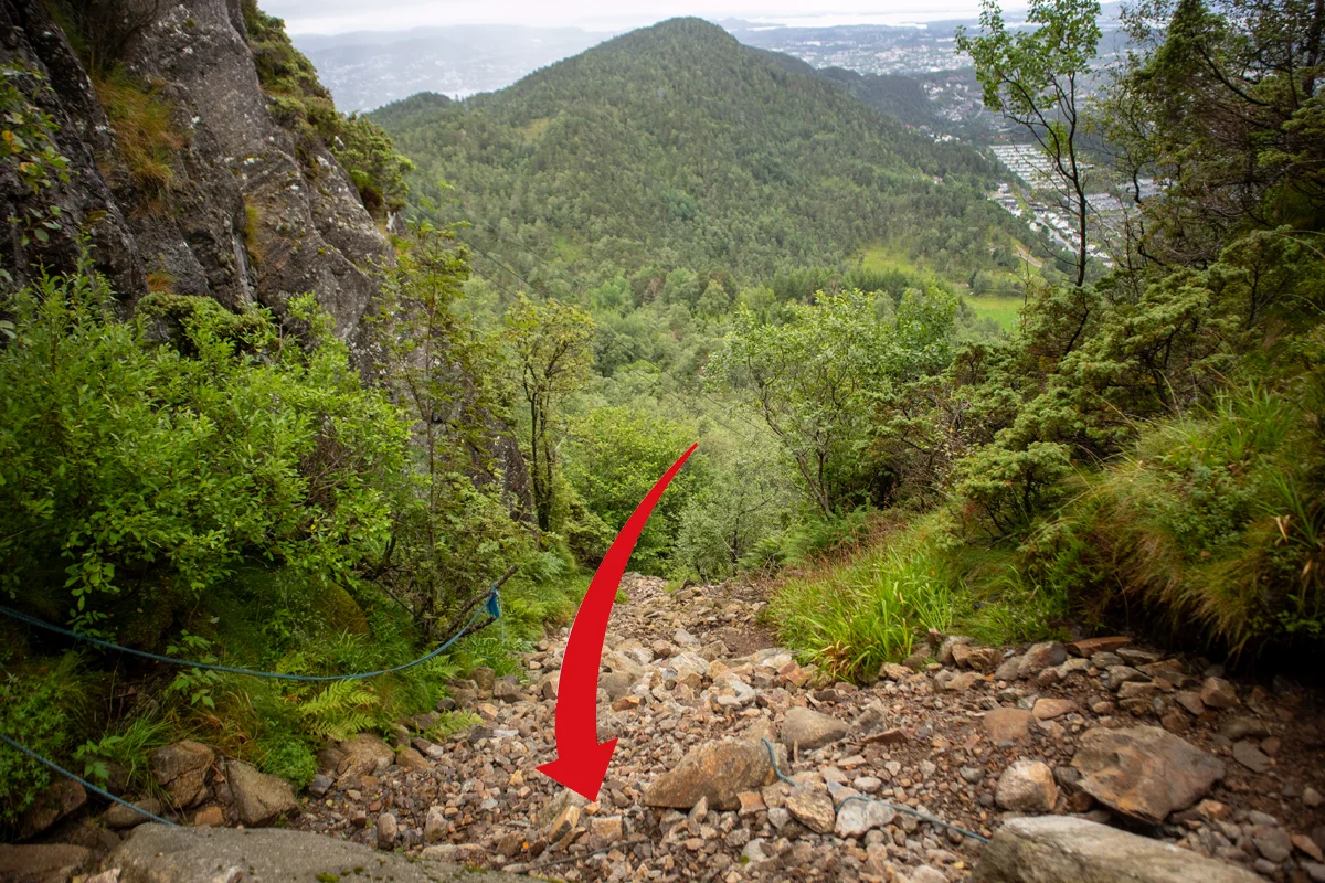
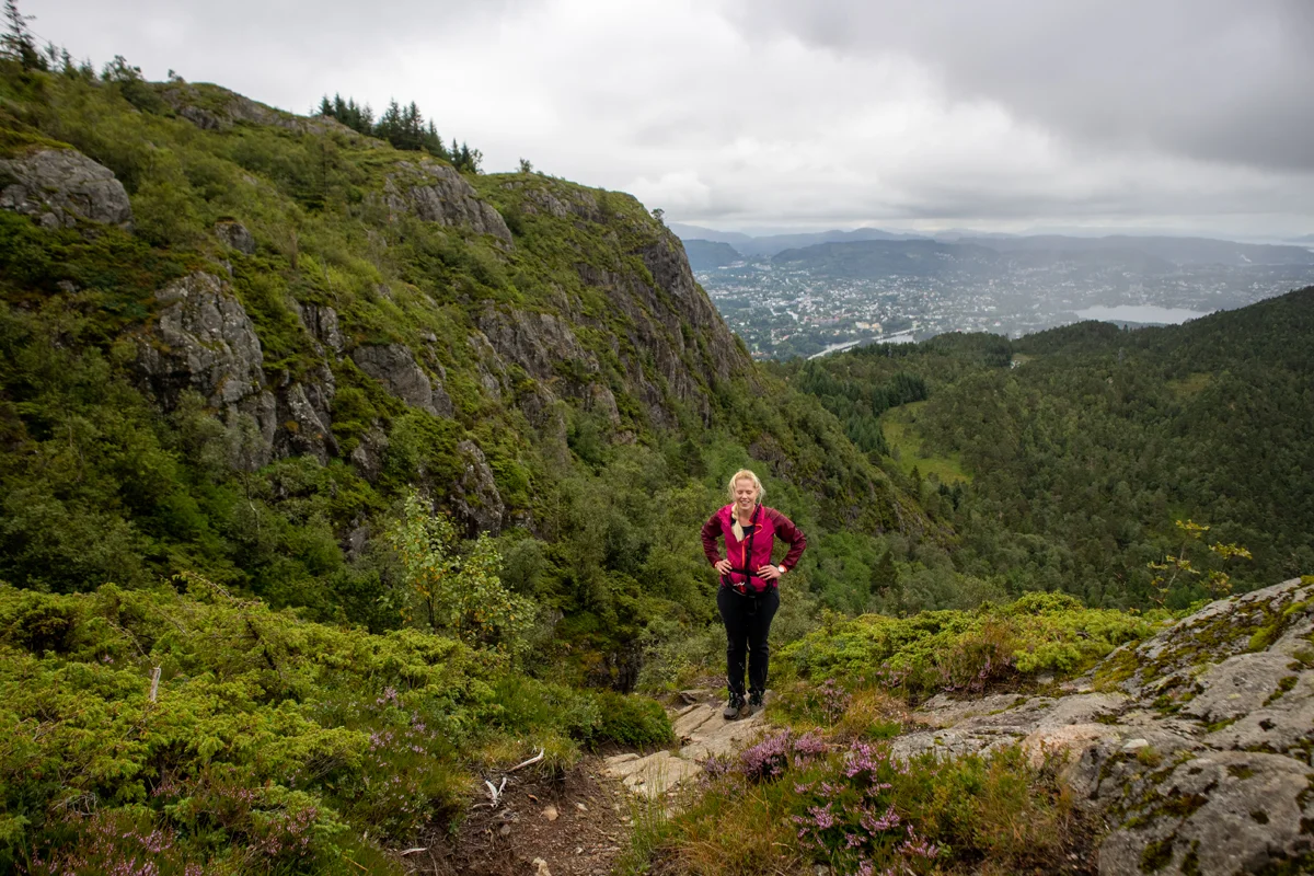
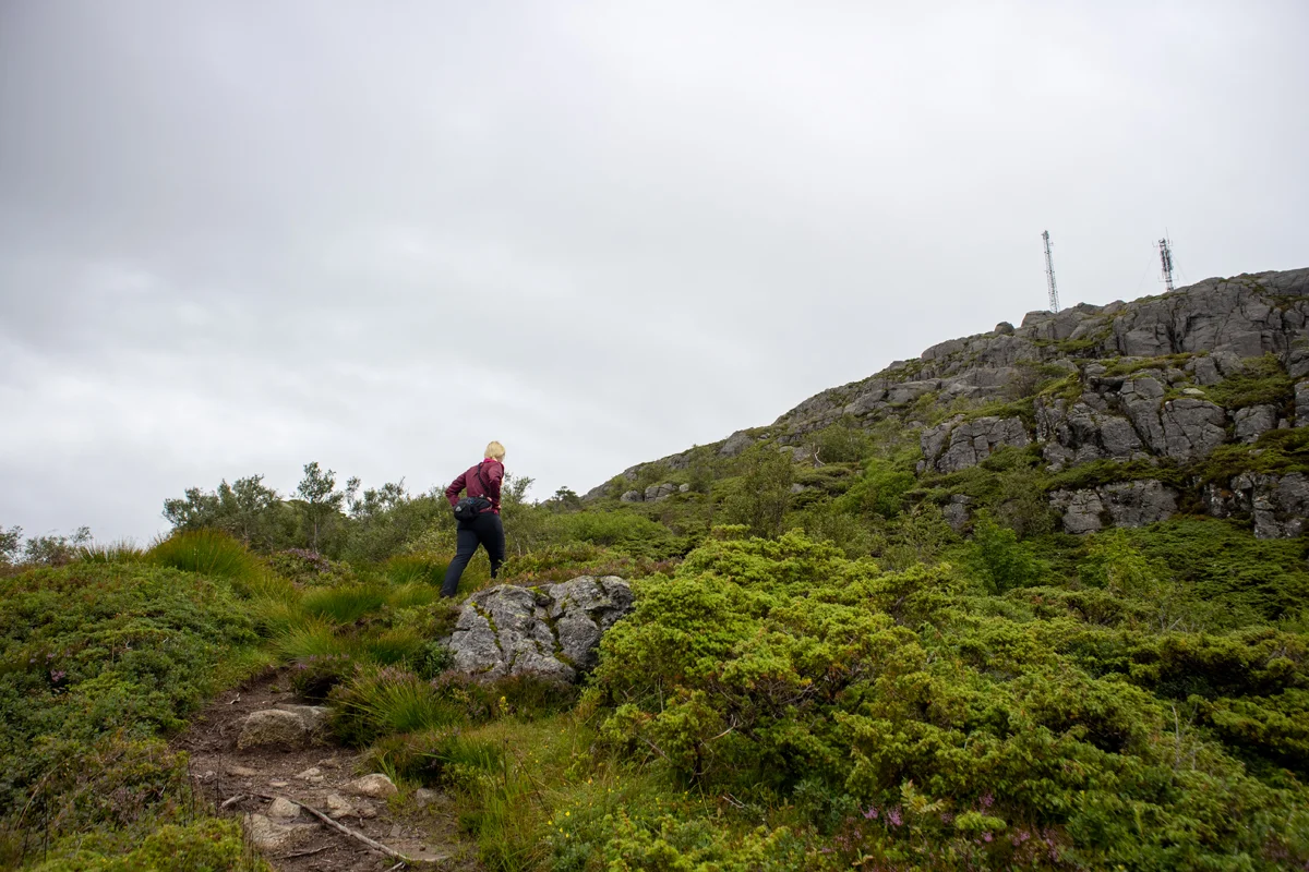
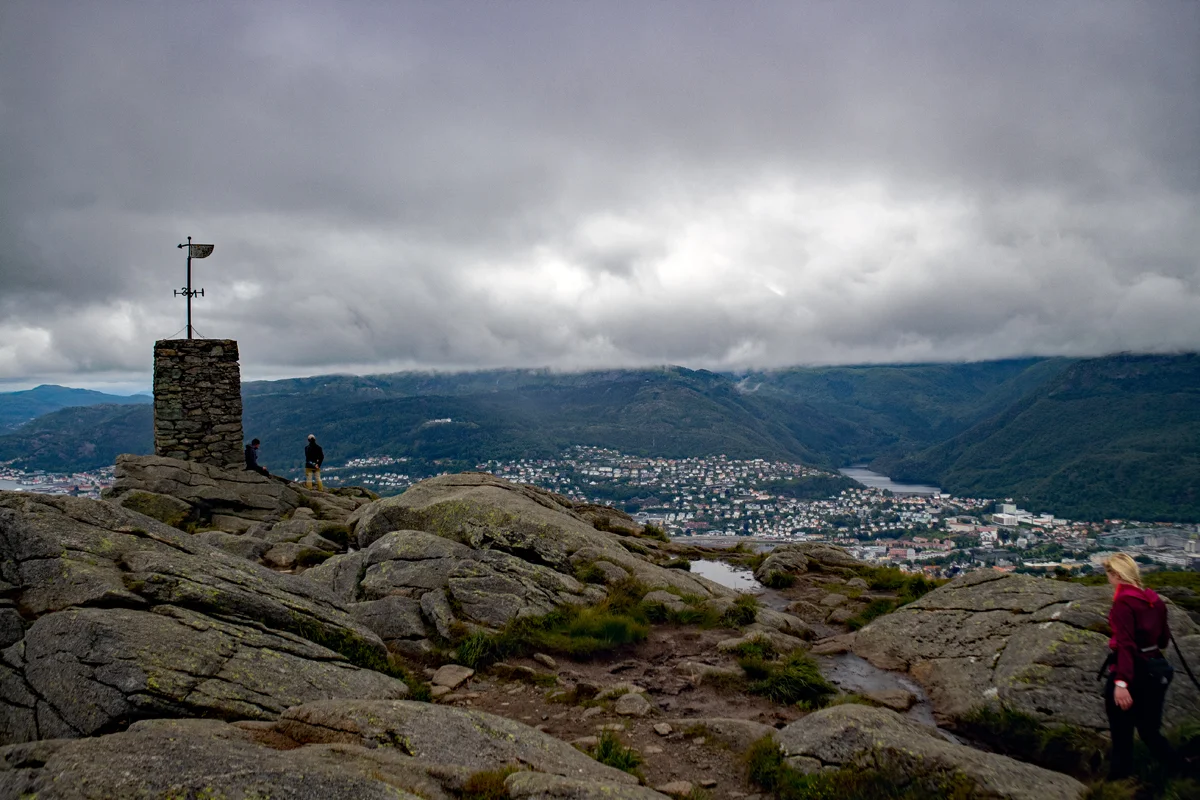
Steep route to Løvstakken (477 m) from Krohnegården
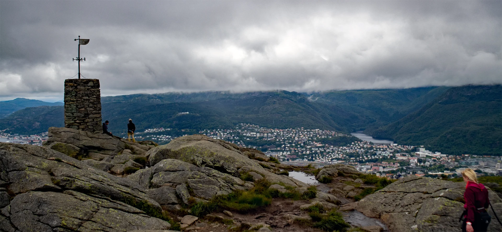
The GPX Track is for guidance only and may contain errors. Use at your own risk.
– always check maps, weather and conditions before your trip.
Access
Parking
Description
The hike starts at Svartatjørna. Walk about 100 meters along the road.
On the opposite side of the road, a new road goes up to the right. Follow this road up the hill and around the bend. About 100 meters before the house, a path goes on the left into the forest. Follow this path up Rosenlundveien (paved road). Walk about 20 meters before a new path leads up the mountainside on the left. If you look up, you will see that the path goes under an old telephone line.
There are rocks and some slippery roots, but the path is clear and easy to follow. At about 325 meters above sea level, you have to climb a steep rock pile. Walk carefully here. A little further up, there are ropes. Just above the rock pile, the terrain flattens out and the view becomes good. Follow the last part of the path that goes crisscrossing up to the Løvstakken cairn.
Return the same way. For a nice round trip, you can follow the path that leads towards Melkeplassen and then go down the path to the left before Ravnefjellet.
Have a good trip!