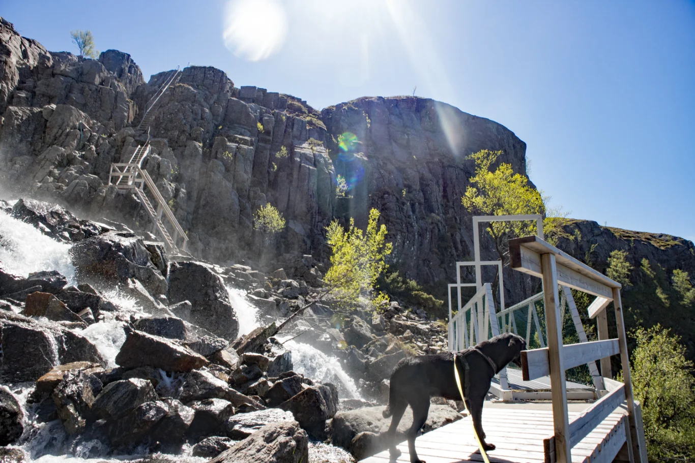
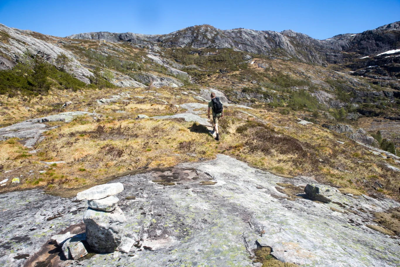
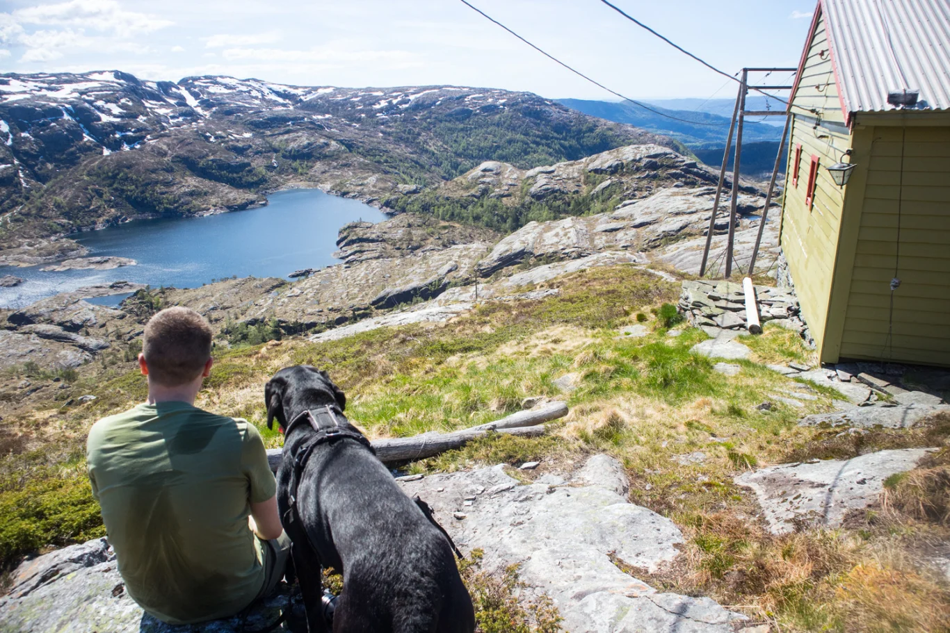
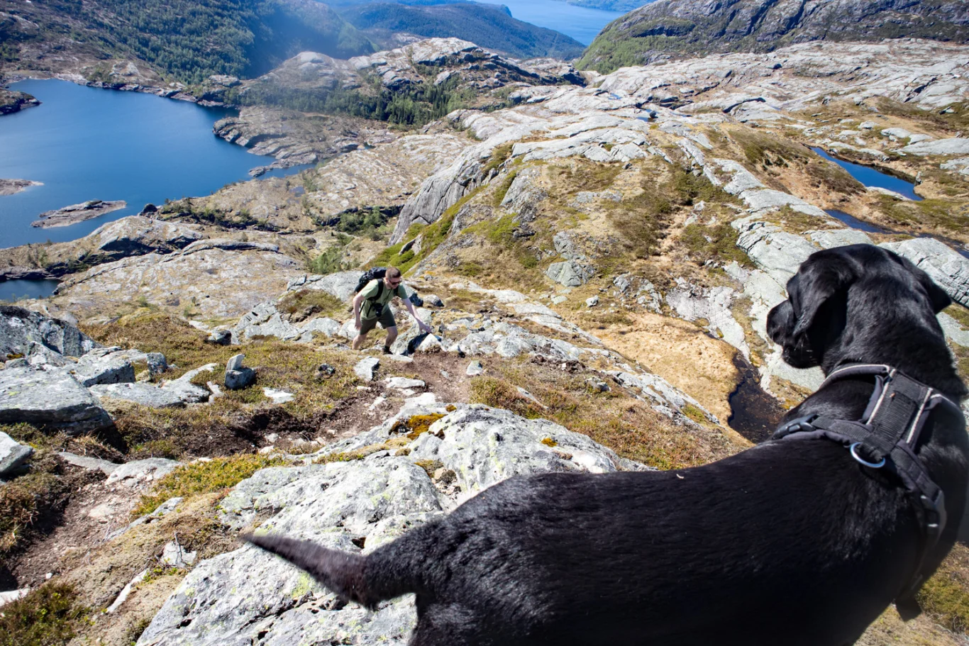
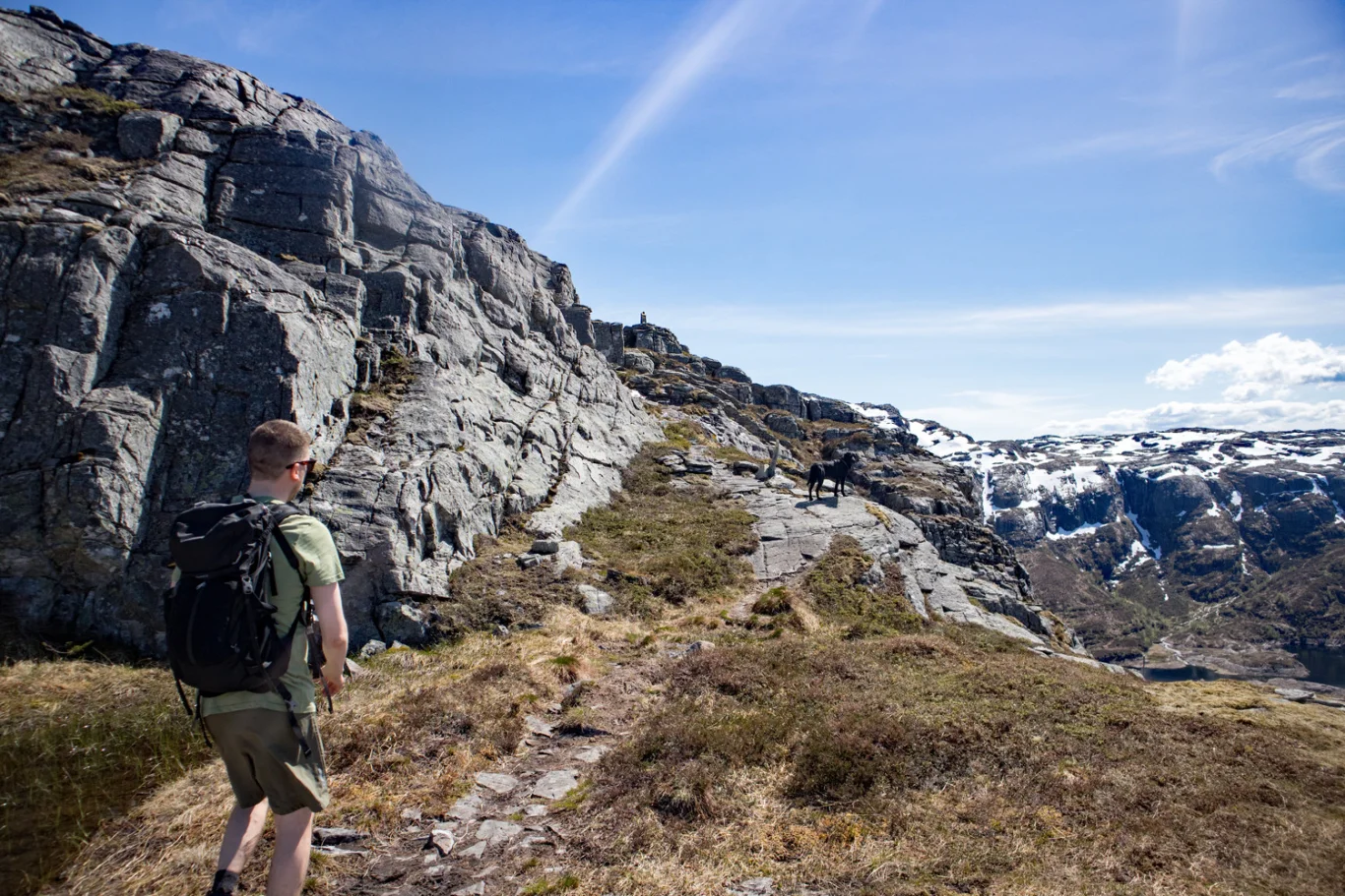
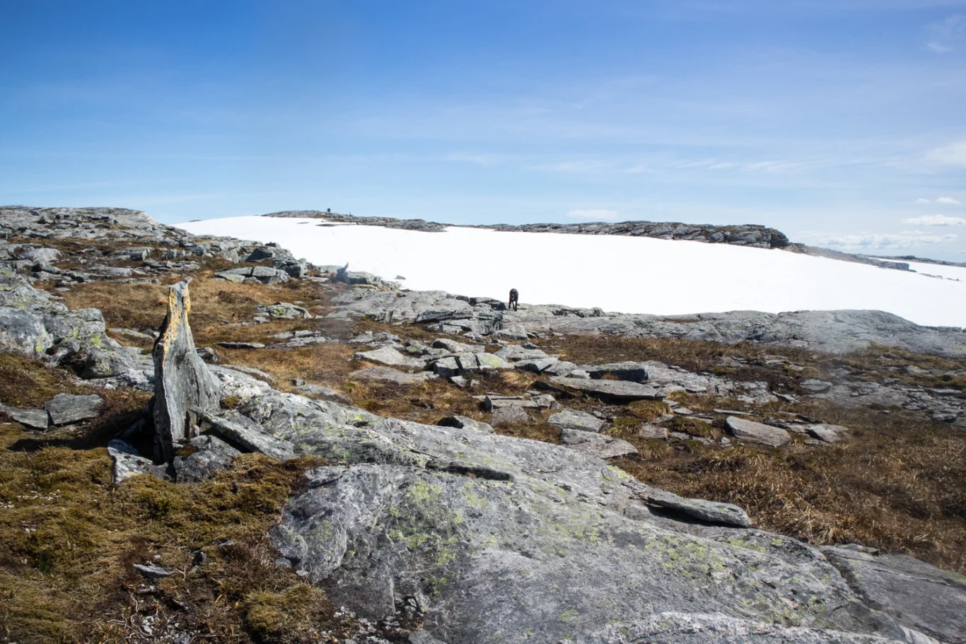
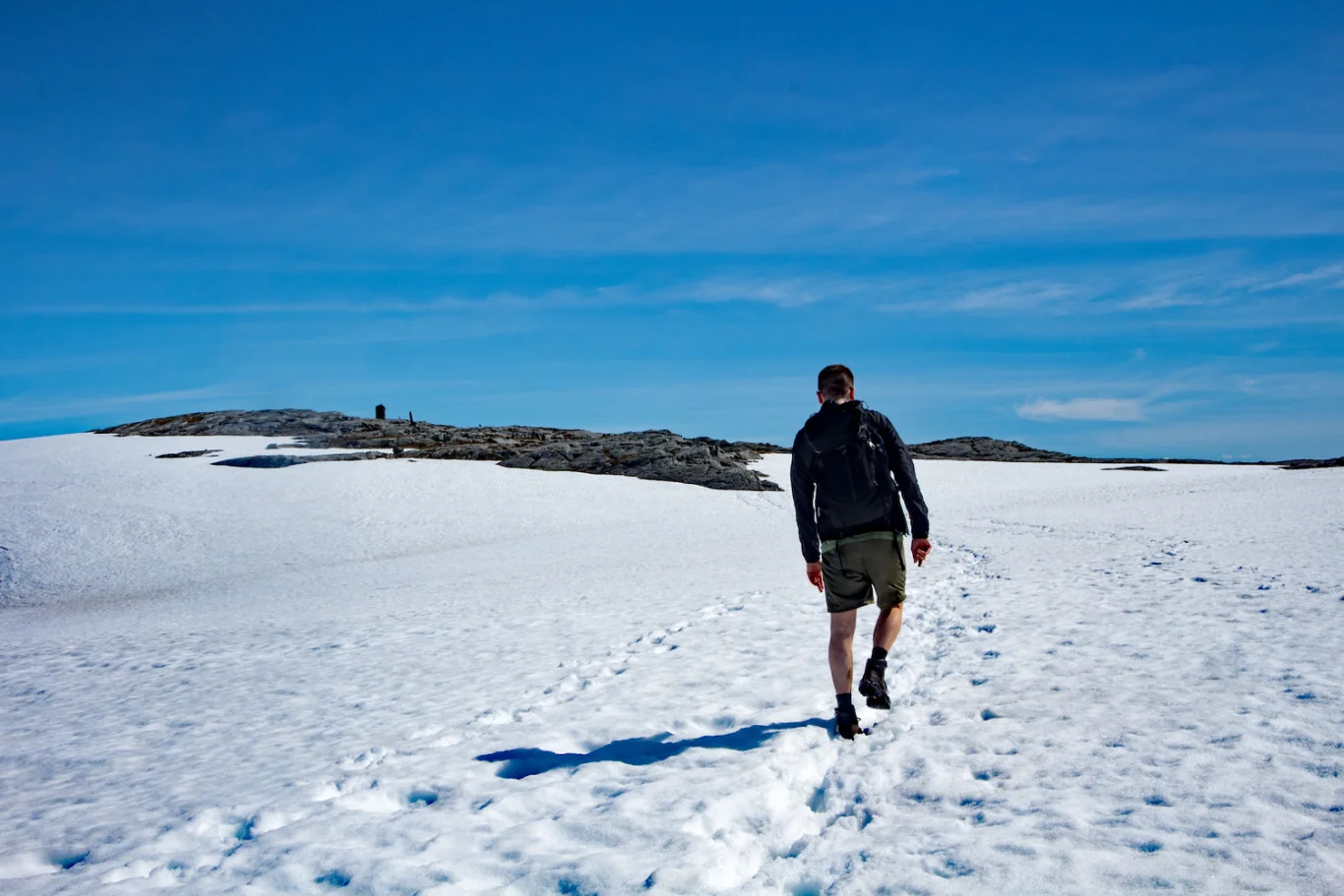
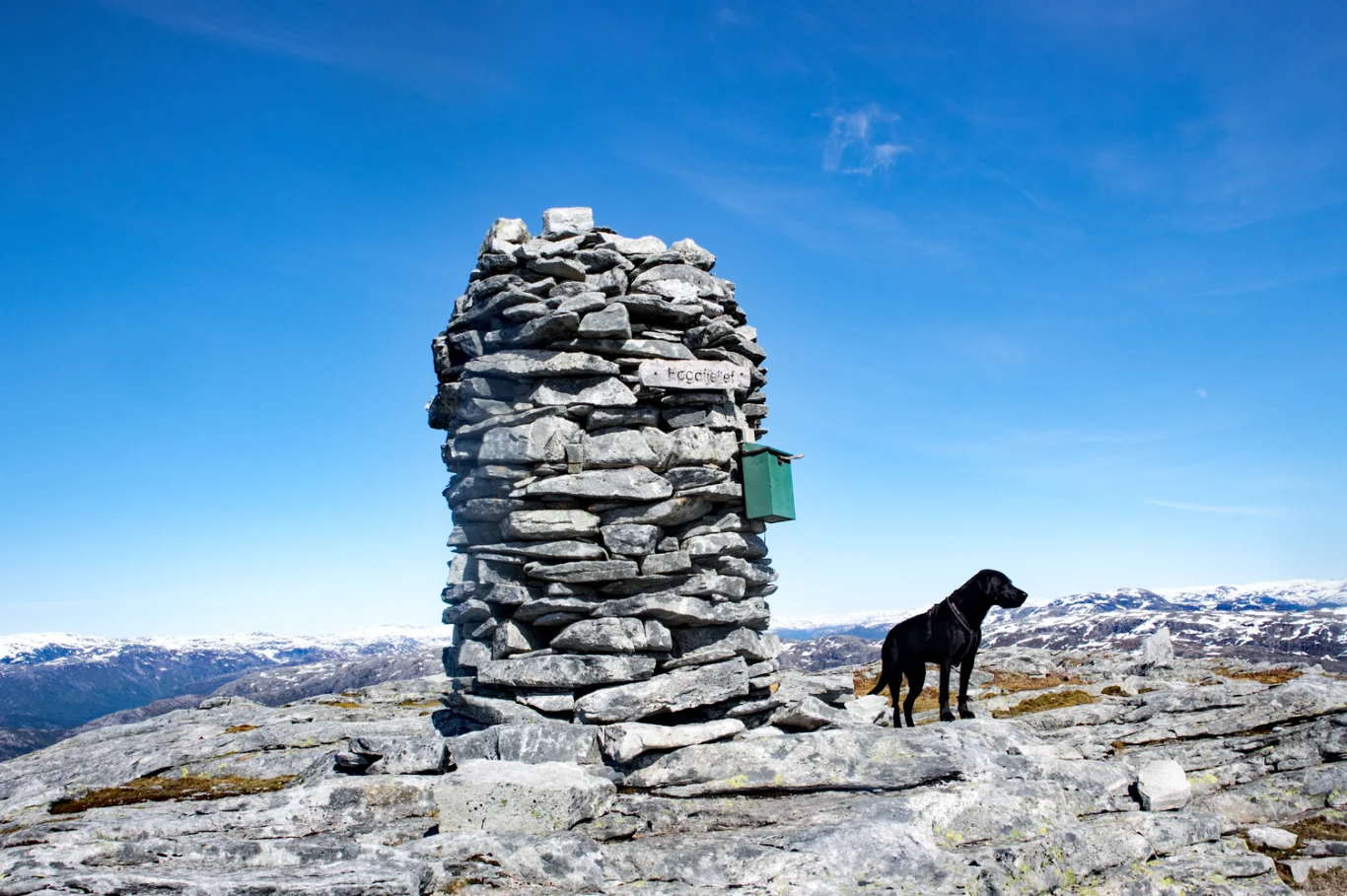
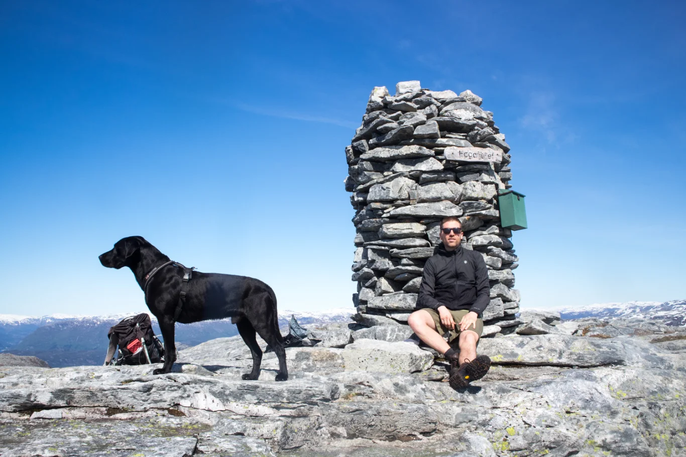
Høgafjellet (868 m) on Osterøy
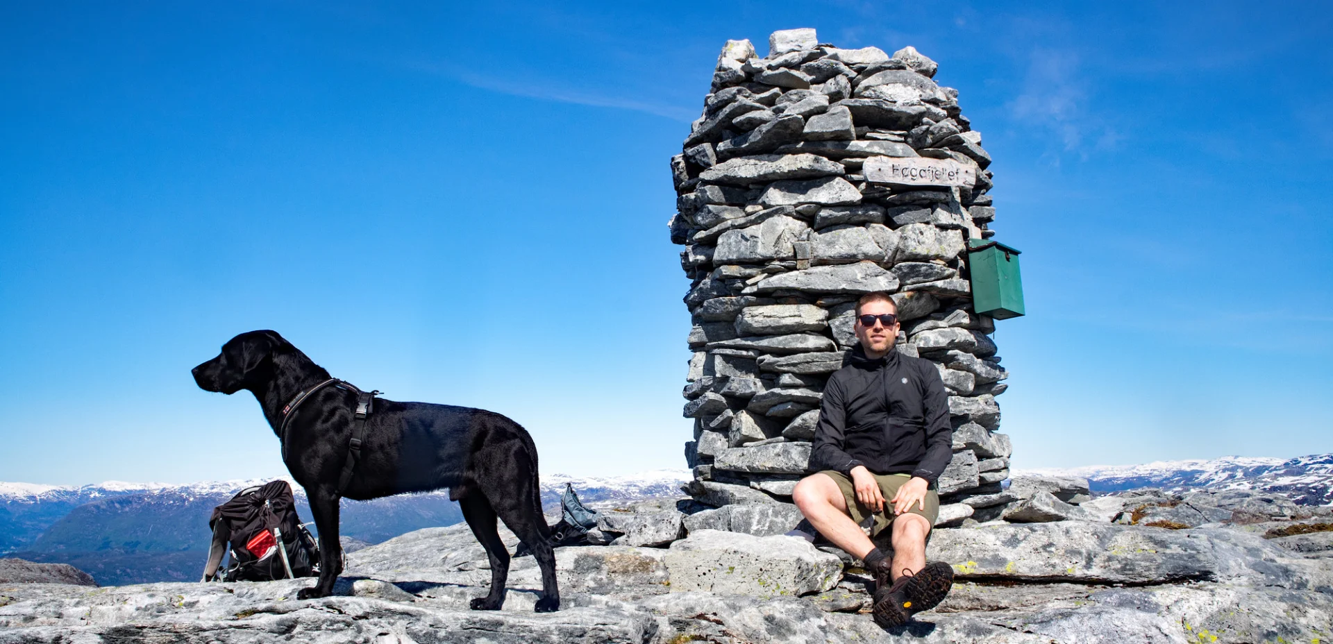
Photo: Admin

Processing elevation data.. .
You use GPX files that you download from our server 100% at your own risk.
Accommodation nearby


Hiking nearby

Hot
Distance
3.81 Km


Distance
7.18 Km

Distance
7.69 Km


Mountain hike to Åsheimveten (477 m above sea level) from Fjordslottet Hotel - Osterøy, Vestland
Premium
Distance
9.65 Km


Distance
10.74 Km