
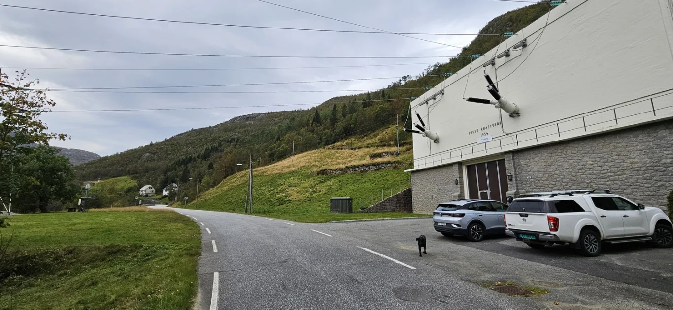
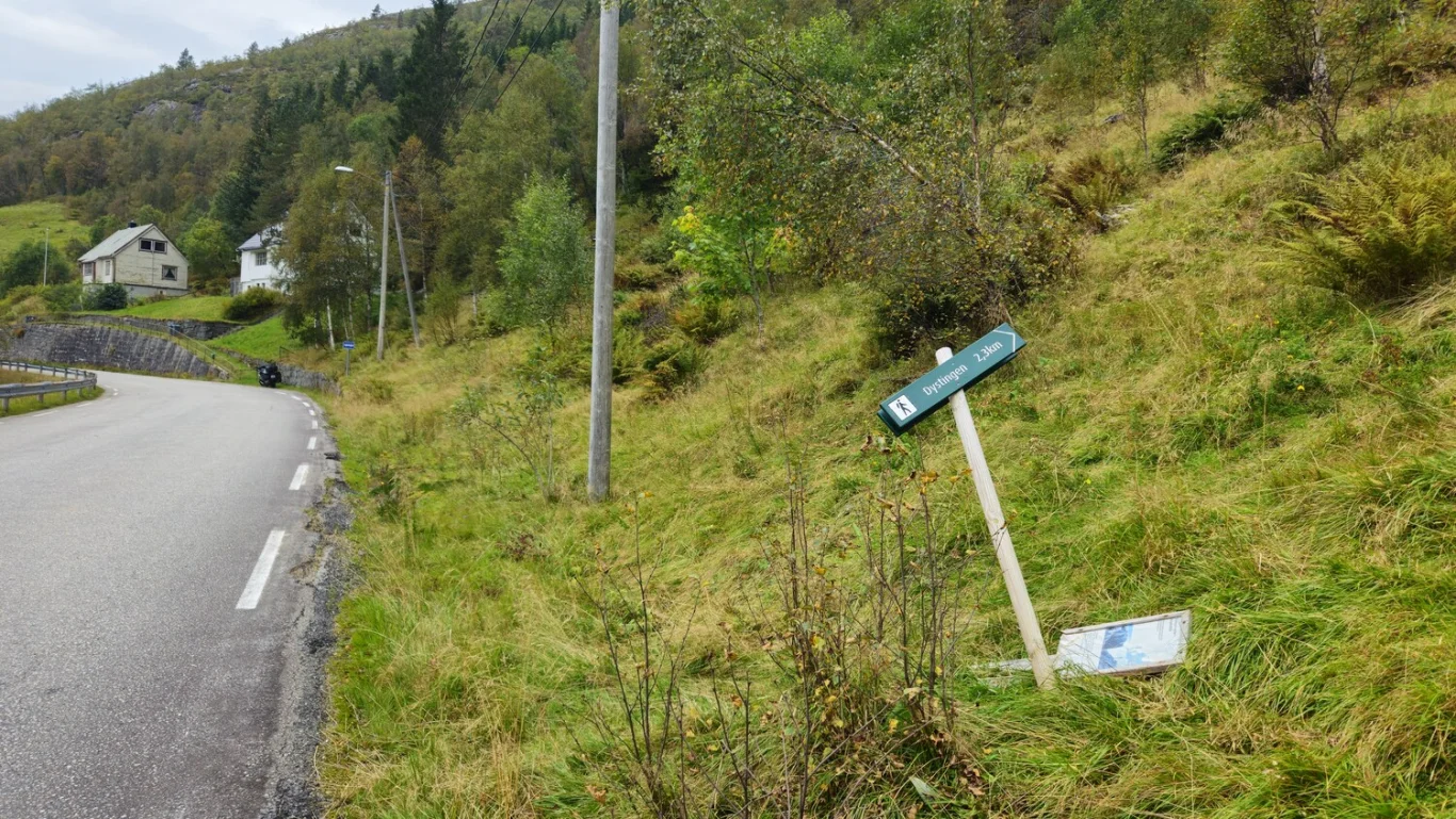
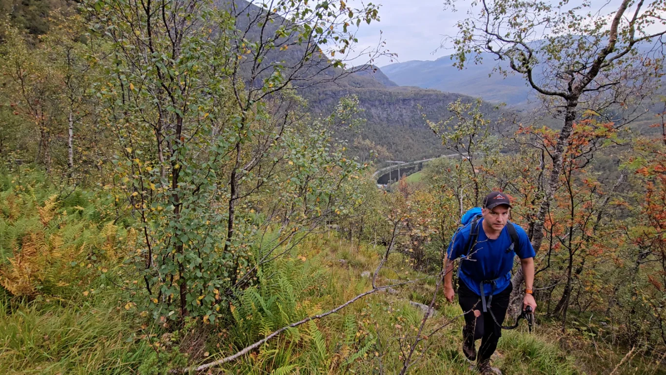
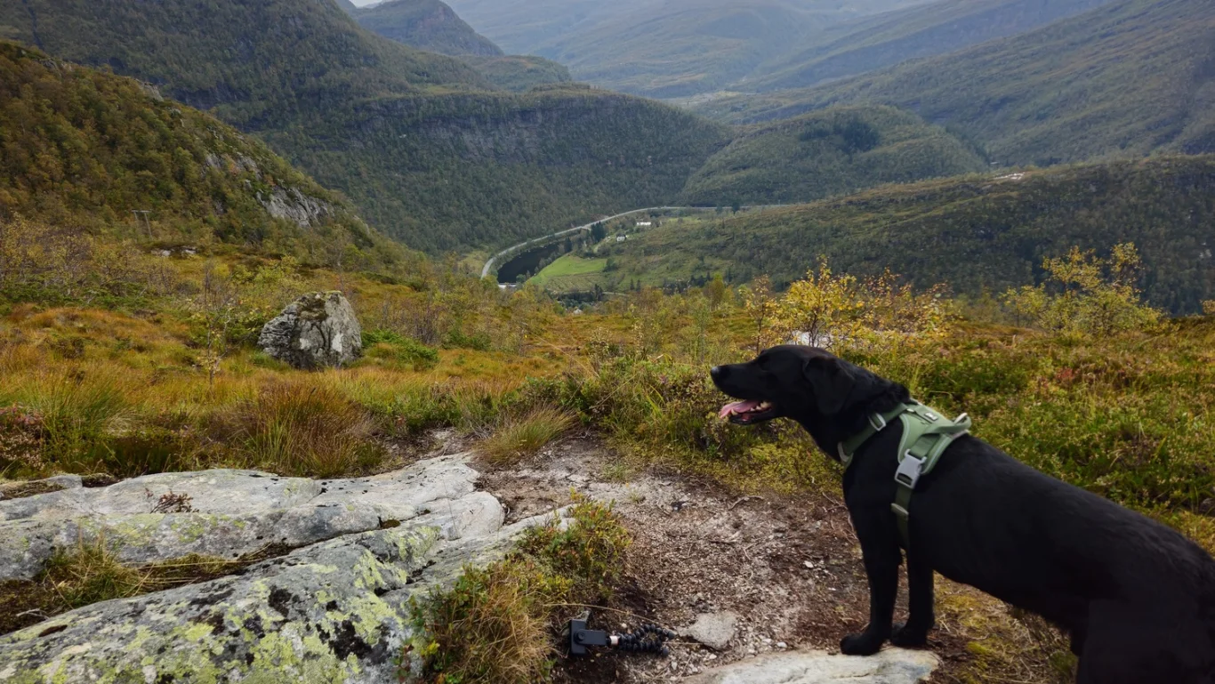
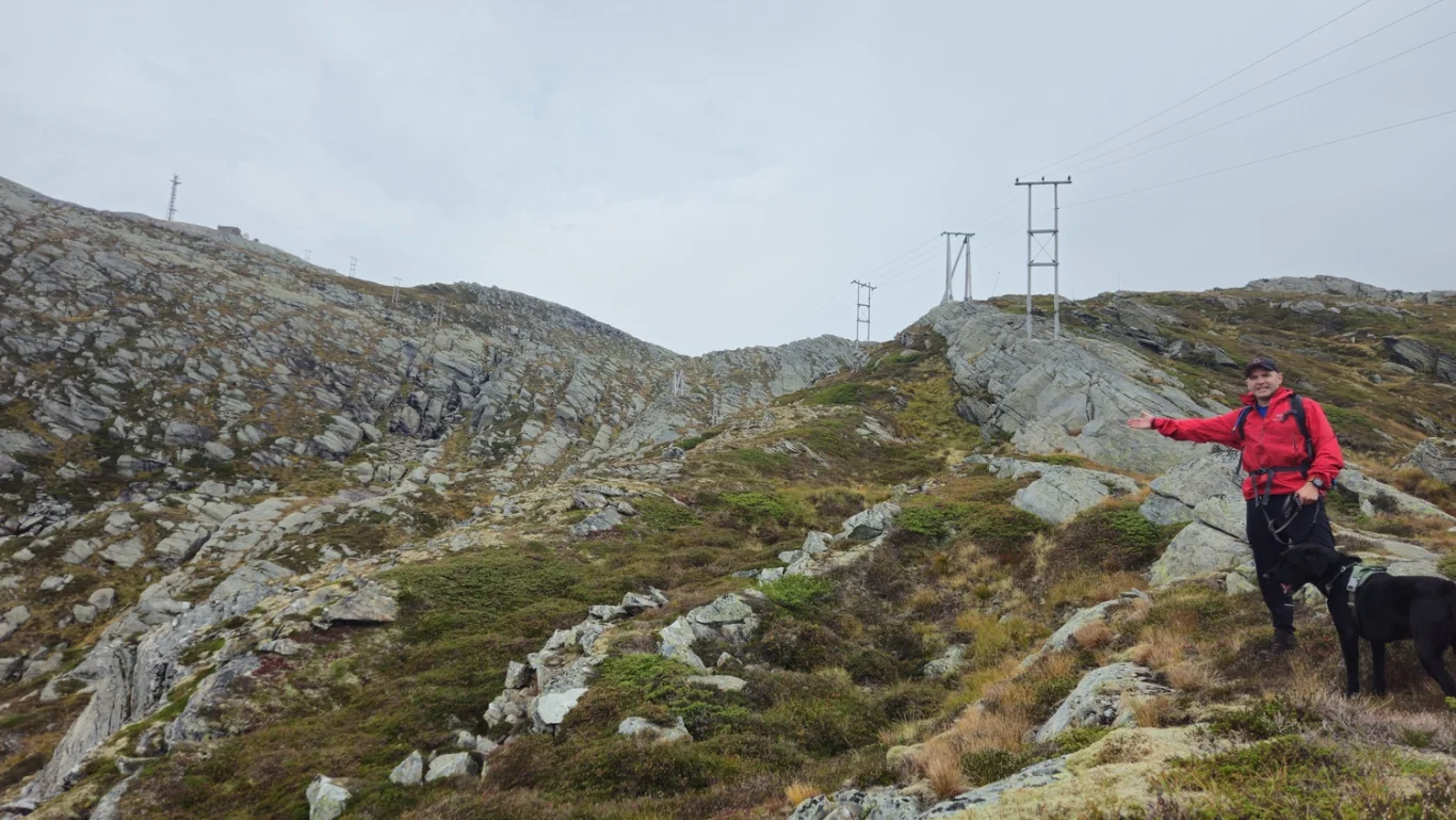
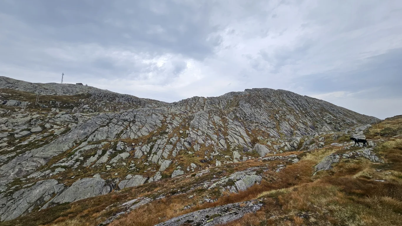
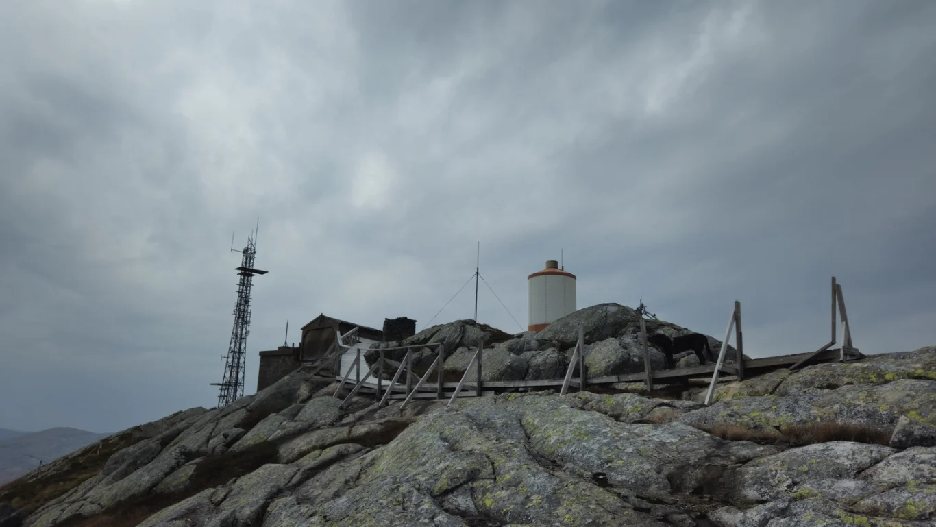
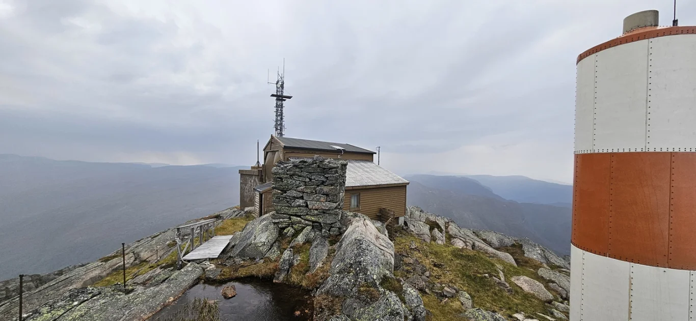
Mountain hike to Dystingen (999 m) from Bergsdalen in Vaksdal
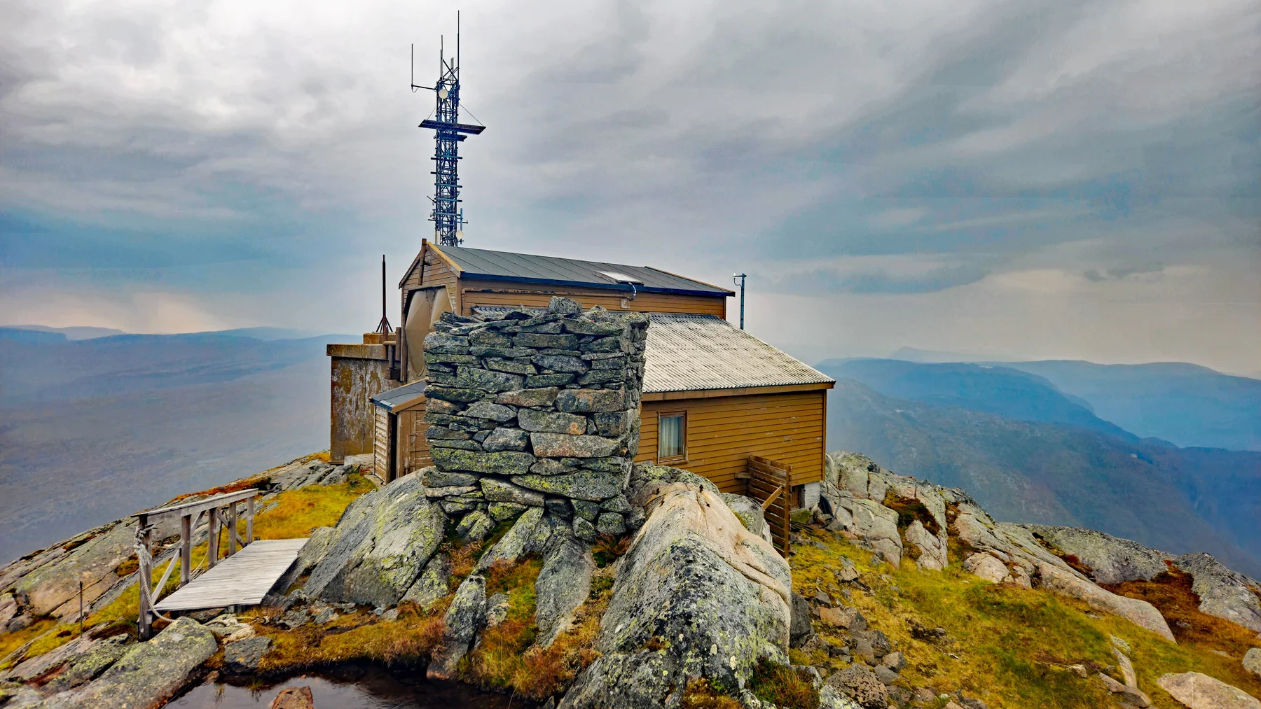
Fjelltur til Dystingen (999 moh) fra Bergsdalen i Vaksdal
Photo: Admin

The GPX Track is for guidance only and may contain errors. Use at your own risk.
– always check maps, weather and conditions before your trip.

Access

Parking at Fosse power station. Make sure you do not park in the way of any service vehicles.

Parking

Approximately 1 hour 10 minutes (68.1 km) drive from Bergen.

Description

Experience a fantastic mountain hike to Dystingen, which rises 999 meters above sea level, starting in beautiful Bergsdalen.

This impressive landmark, known for its large telecommunications mast, is easily visible from the main road just before you arrive in Dale. A trip to Dystingen offers spectacular views and a memorable nature experience.

The hike begins at Fosse power station. From the parking lot, walk about 100 meters along the road towards Dale, where you will find a sign on the right marked 'Dystingen'. Here the trail starts steeply uphill. Although the trail may be unclear at first, it gradually becomes clearer and is well marked all the way to the top. After a while, you pass under the high-voltage pylons, and the trail winds upward until you reach the tree line. Here the trail runs on the left side of the pylons, and you must ford some easy sections. Be aware of loose rocks in the gutter above Nedstadleien. When you reach about 800 meters above sea level, you can see the summit with the pylon. From here the trail is marked with large posts fixed in the mountain. The terrain is easy to walk with a lot of rocks and steep slopes, as well as many shallow small streams. The trail and the marking posts lead you in an arc around the mountain before you reach the top. Be careful on slippery slopes.

At the top you will find a large telephone mast, a locked building and a beautiful cairn. We recommend returning the same way for a safe and familiar route back.

Information

Length: Approx. 4.6 km round trip
Time: Approximately 3 hours round trip
Elevation gain: 591 meters
Season: Apr - Oct
Grading: Medium

Processing elevation data.. .

You use GPX files that you download from our server 100% at your own risk.

Accommodation nearby

Hiking nearby