
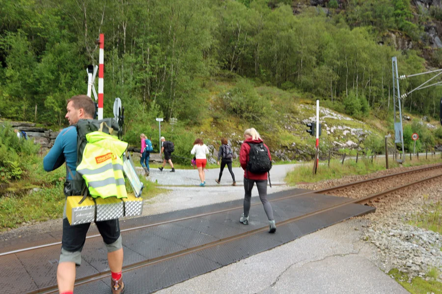
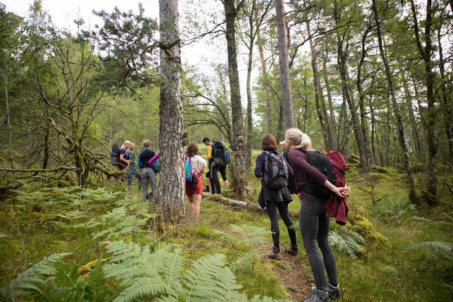
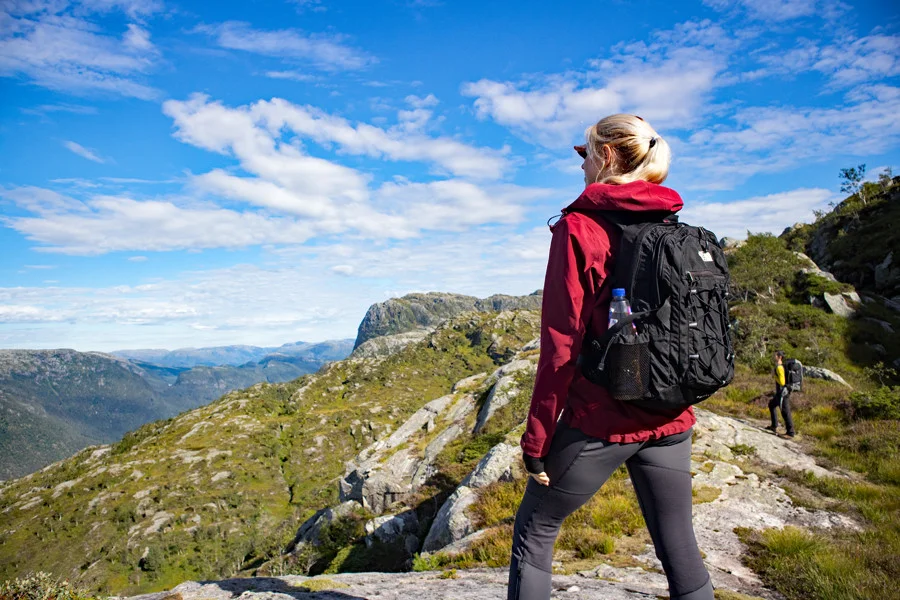
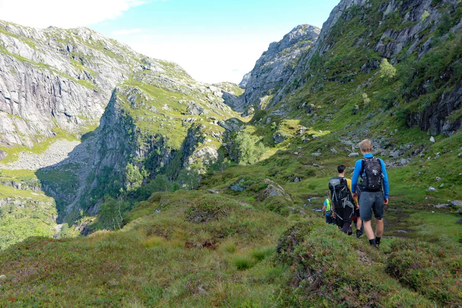
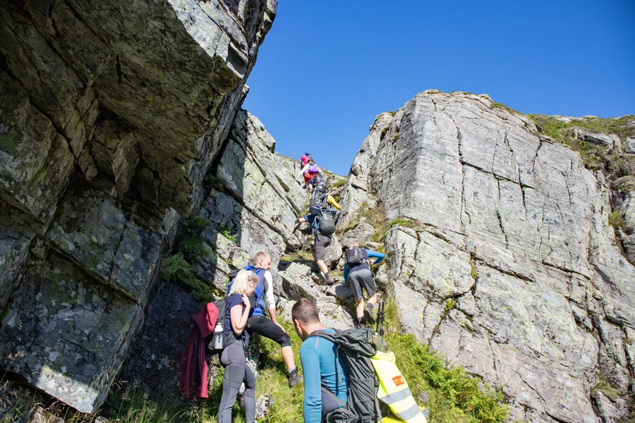
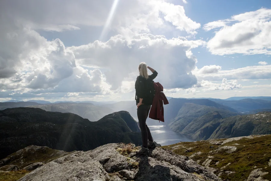
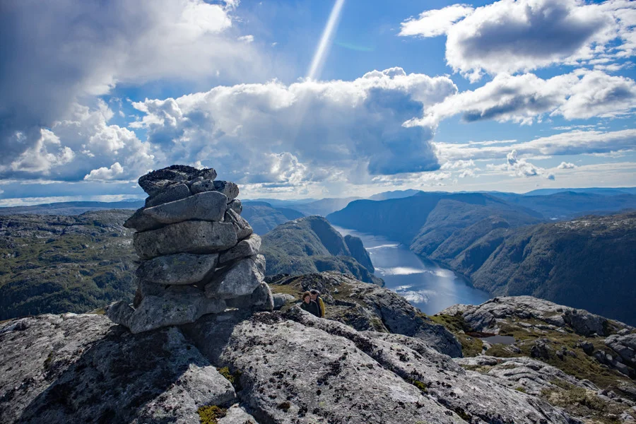
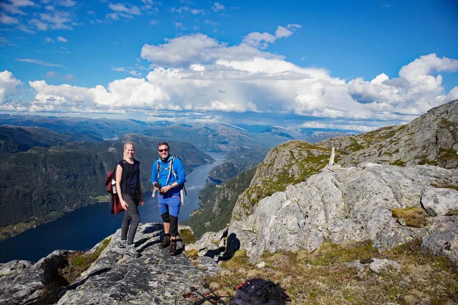
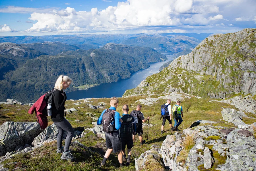
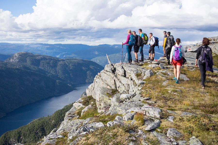
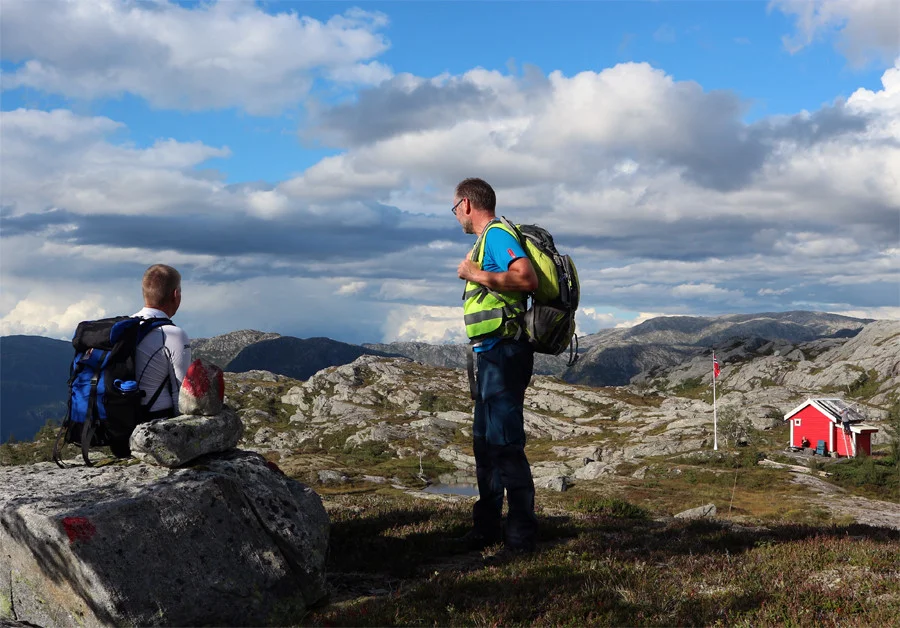
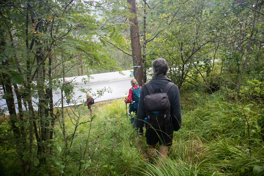
Panoramic tour along the Veafjord in Vaksdal
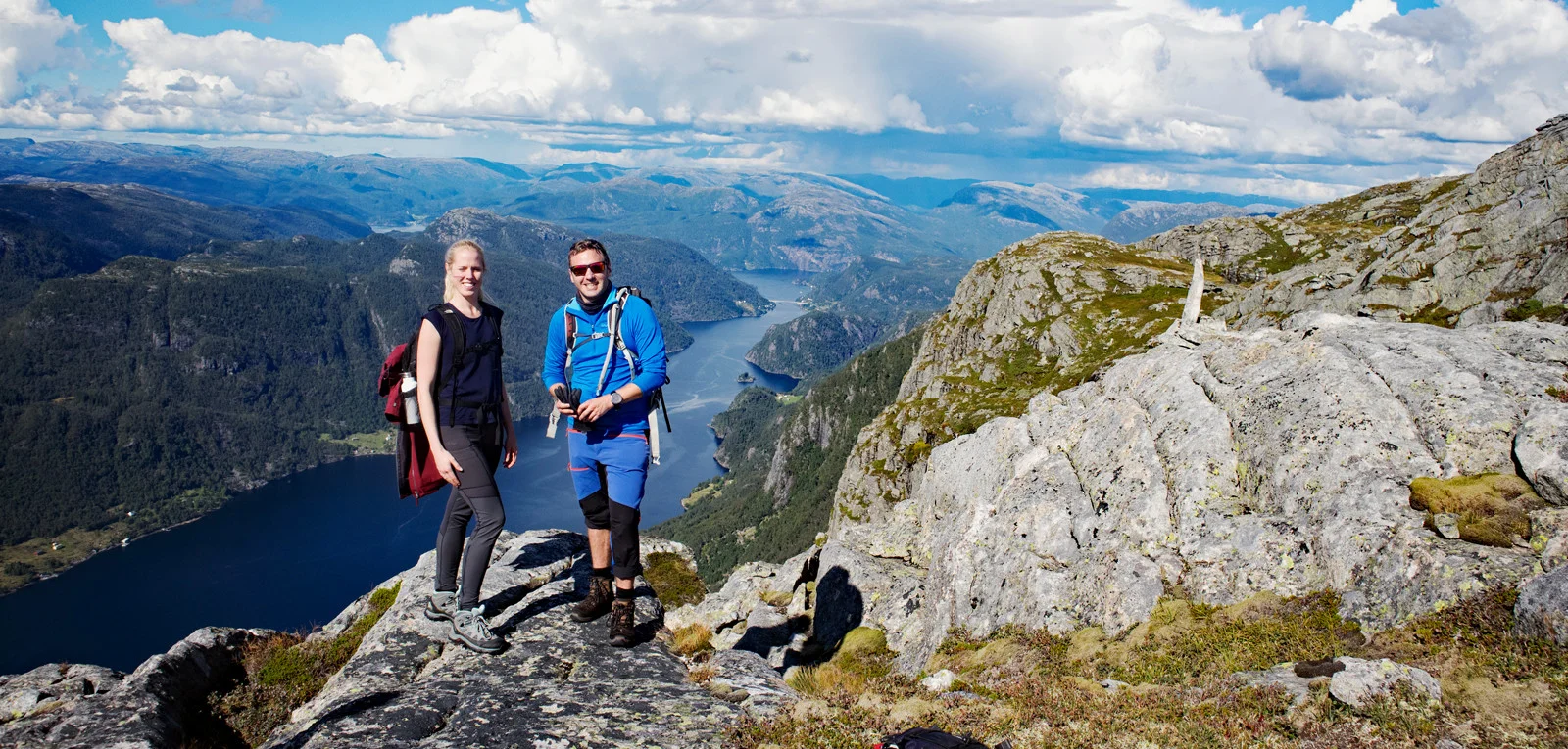
Panoramatur langs Veafjorden i Vaksdal
Photo: Admin

The GPX Track is for guidance only and may contain errors. Use at your own risk.
– always check maps, weather and conditions before your trip.

Access

On this trip it is best to drive two cars.
From Bergen city center, drive to Arna and on to Trengereid. Drive E16 towards Voss past Vaksdal and Stanghelle. At the tunnel after Stanghelle, drive left into Helle. Drive over the narrow bridge and park along the road just before the train crossing (start of the tour)
Drive car no. 2 past Dale and turn left at Dalseid. Follow the narrow road along the Bolstadfjorden towards Stamnes. Park the car along the road at the parking lot in Hetlevikjæ.

Parking

There is free parking at Hellestræ (tour start) and at Hetlevikjæ (finish).

Description

The hike begins hard and brutally up Kalddalen to approx. 500 m above sea level. The trail is good and goes through the forest. Then the hike goes on an unmarked trail along Hestafjellet. The scenery is beautiful and you have a partial view of Veafjorden.

When you get higher up, the hike goes uphill and you cross many beautiful mountain lakes. It is a steady climb all the way and you round to the south-west towards Fylenipa. From the top and down towards Bergsnipa the view starts to become great and you can see Storafjellet from the back.

It is down at Bergsnipa (a small cairn) that the real panoramic view is. Here it goes 600 meters down into the fjord. From Bergsnipa you follow the fjord north towards Oksla where there is a cabin. This part of the walk is not marked but it is easy to walk along the fjord. There are a few airy sections.

From Oksla, follow the marked trail under Borgafjellet and down the Vardadalen valley past Ulevikhytta (a red-painted cabin in DNT colors). At the end, the trail goes steeply down the Kyradalen valley to Hetlevikjæ parking lot. The last part of the hike is also marked.

NB: Dette er en tur som ble arrangert av Vaksdal turlag. De har arrangert den to år på rad så store muligheter at den blir arrangert igjen. Om du går på egenhånd vil jeg anbefalt å studere kartet nøye, ta med kart, kompass og GPS da deler ikke er merket og går utenom sti.

Have a good trip!

Information

Fylenipa (850 m.)
Bergsnipa (approx. 800 m. above sea level)
Oksla
Length: about 20 km.
Time (one way) 8-10 hours.
Season: Spring, summer, autumn.
Grading: Demanding

Processing elevation data.. .

You use GPX files that you download from our server 100% at your own risk.

Accommodation nearby

Hiking nearby