
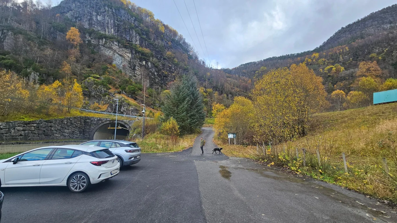
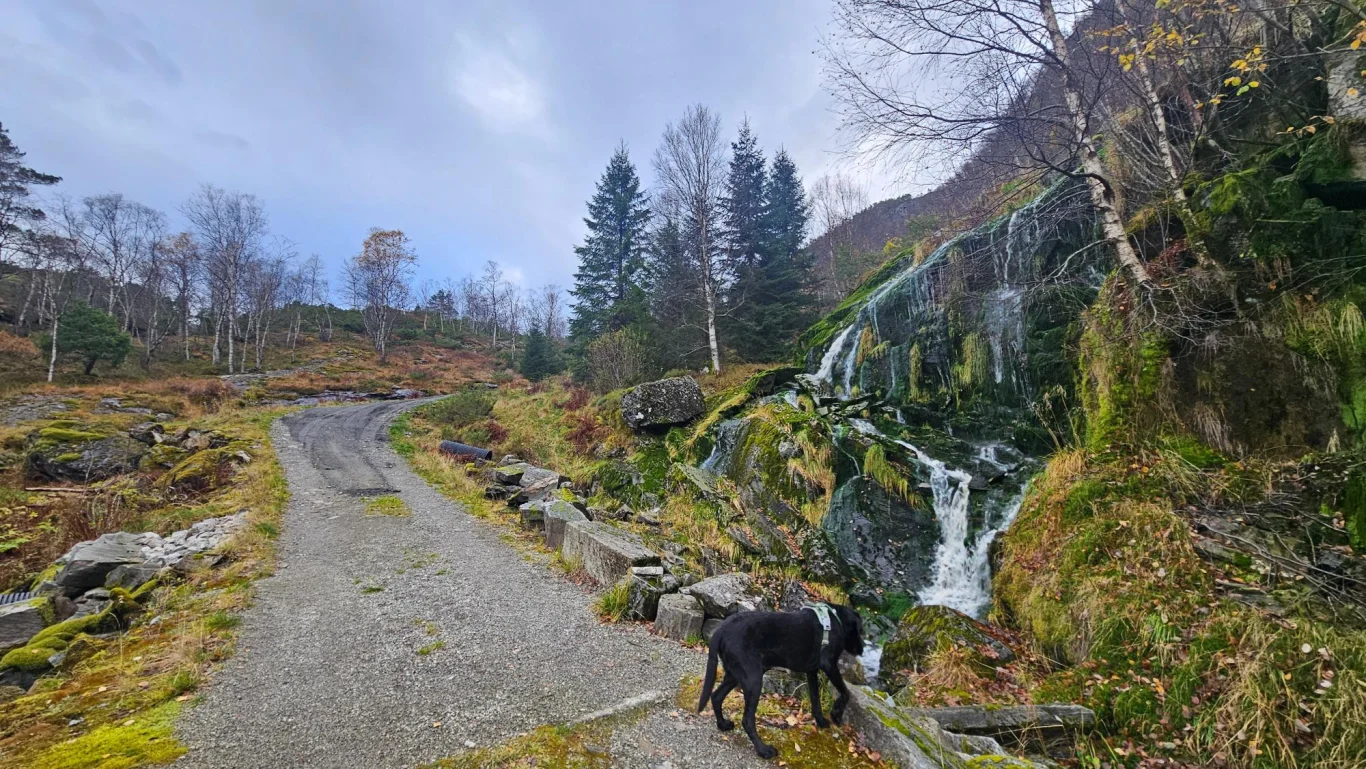
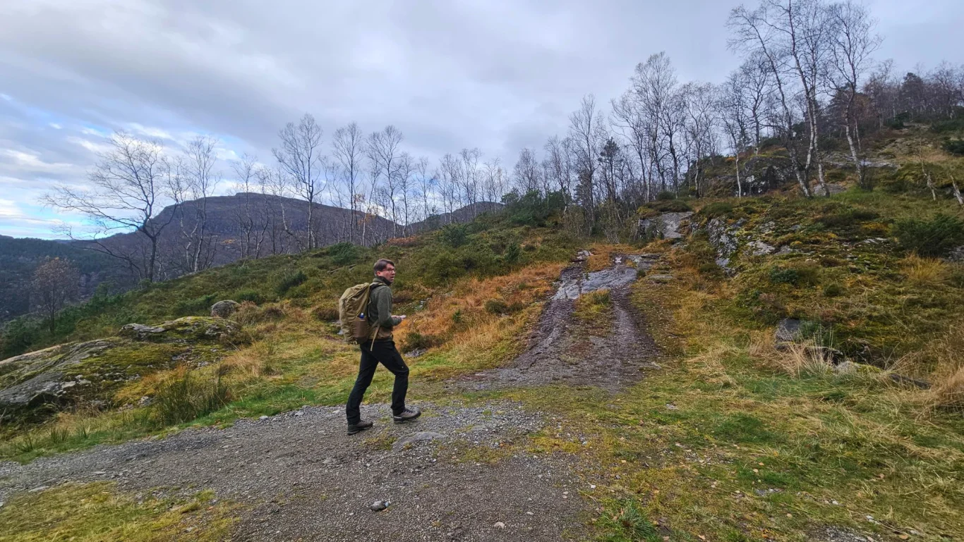
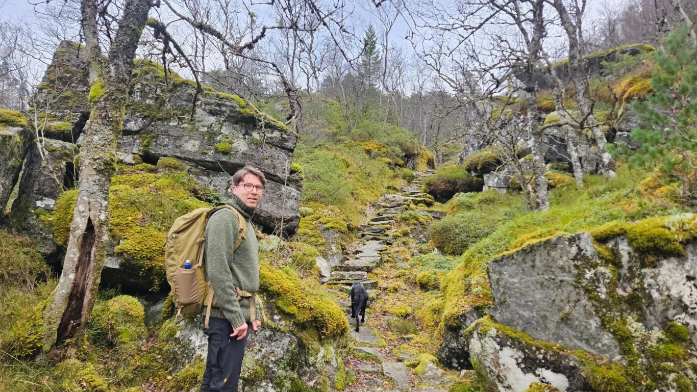
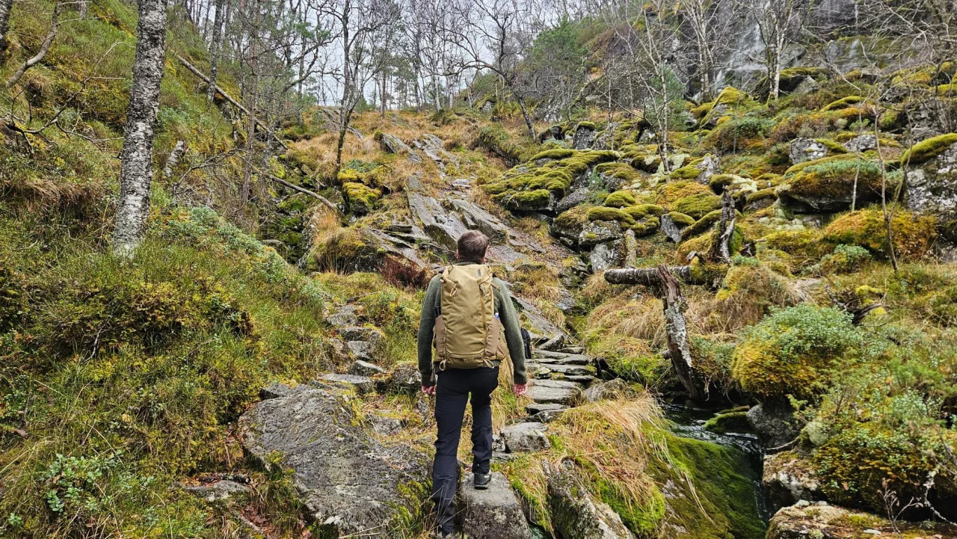
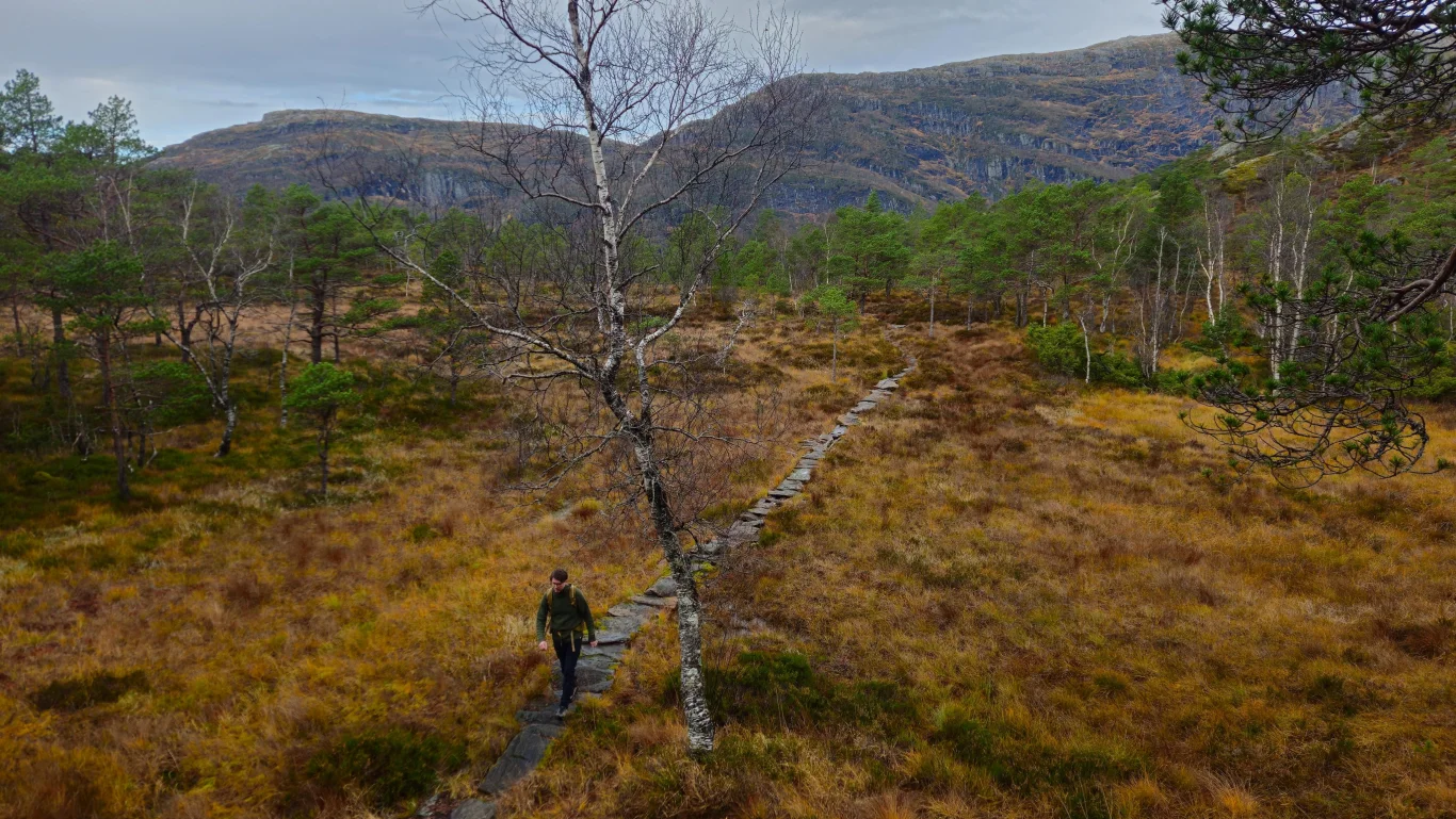
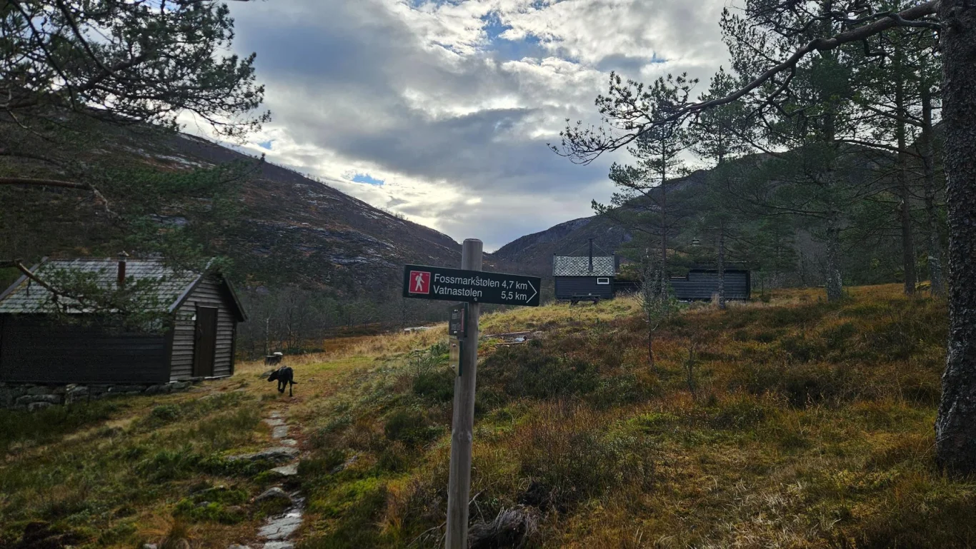
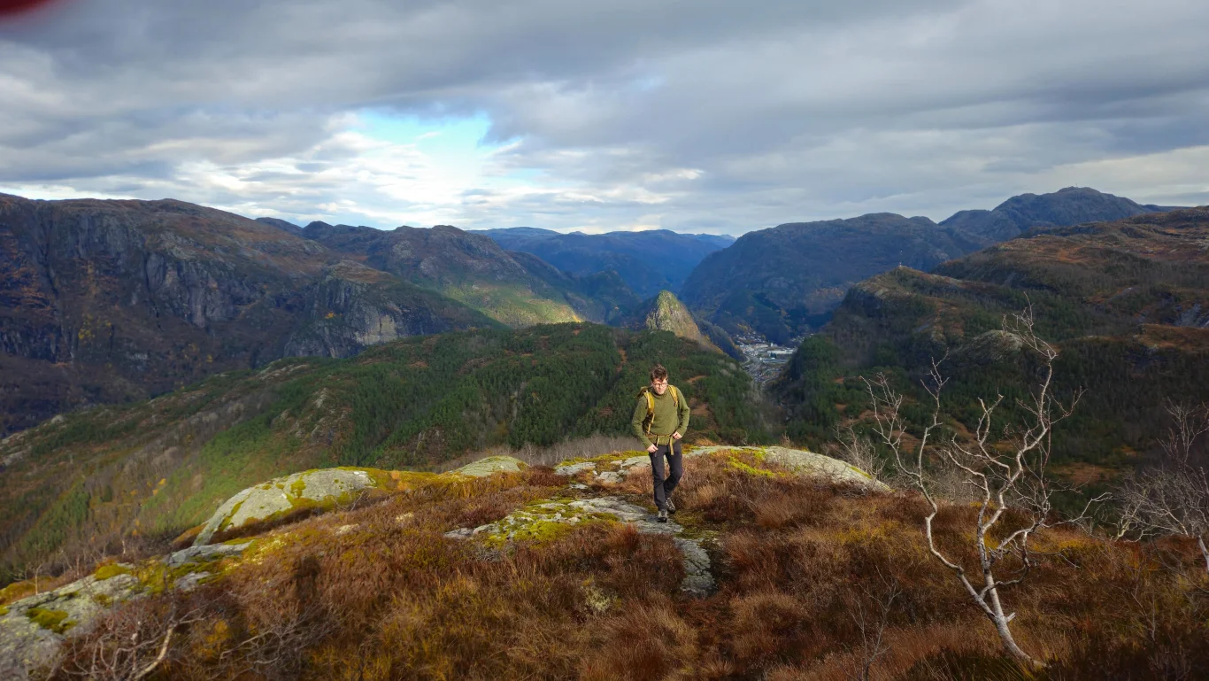
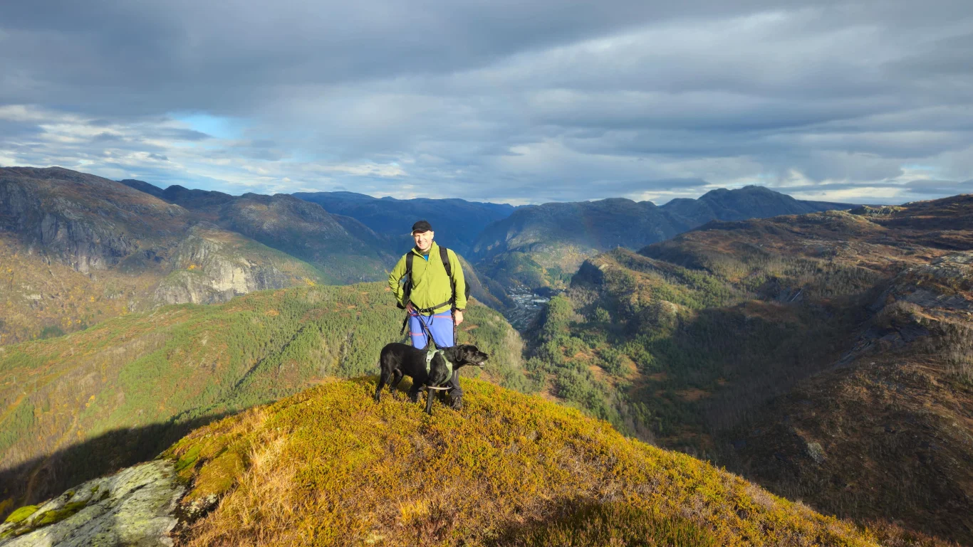
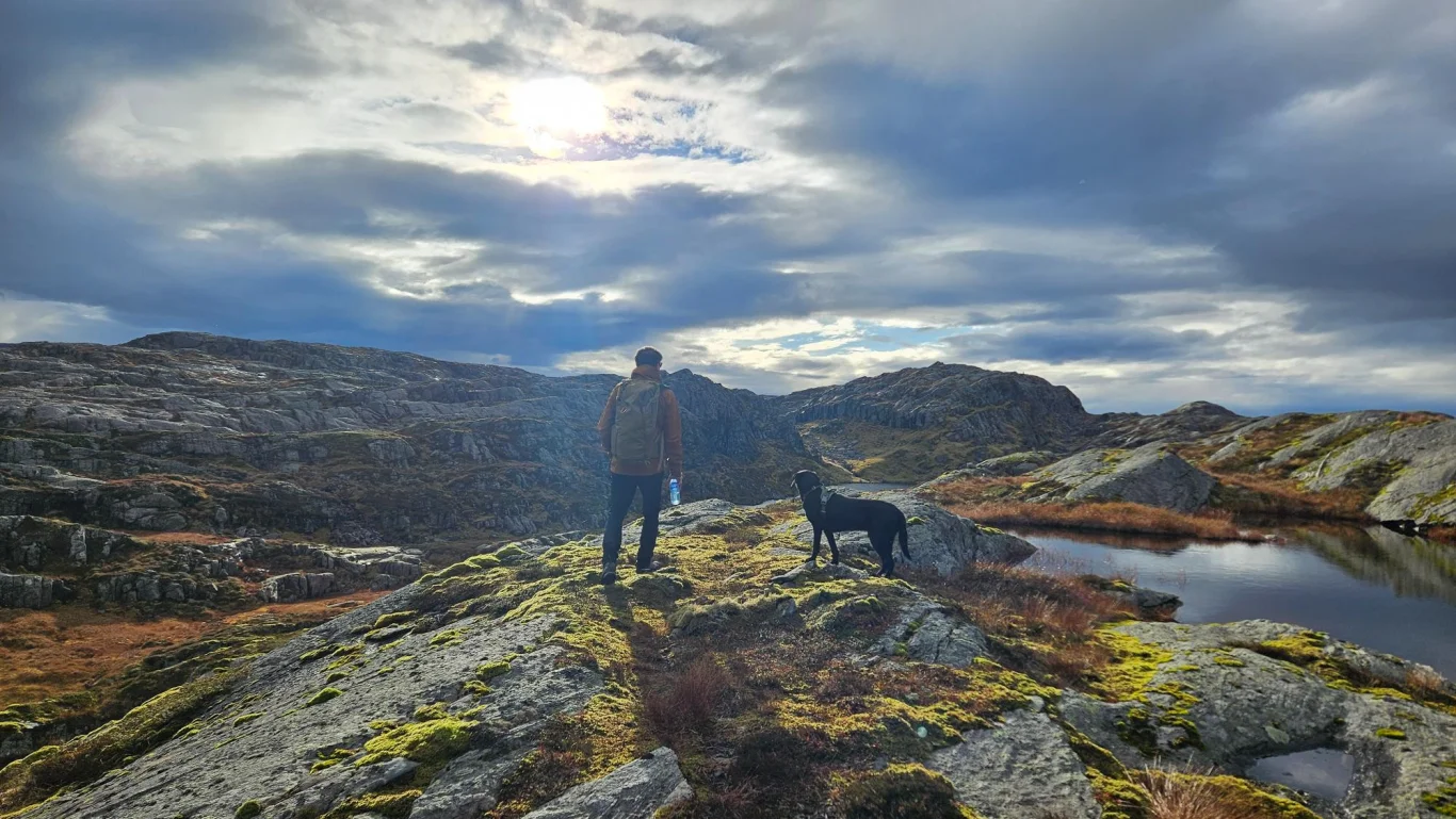
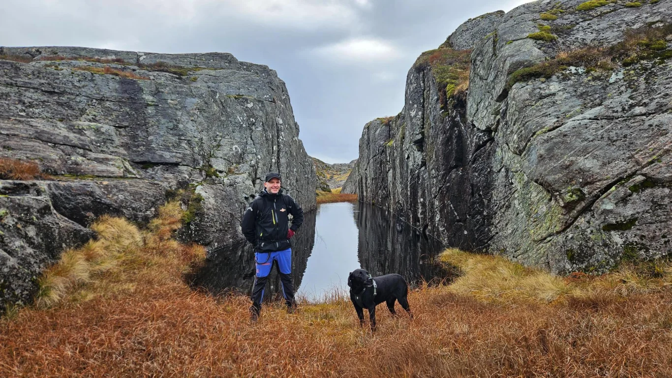
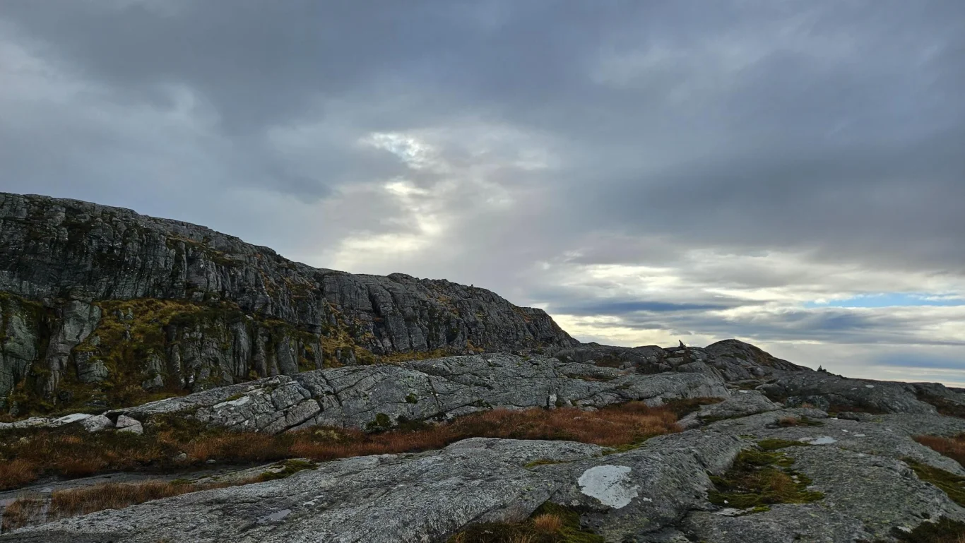
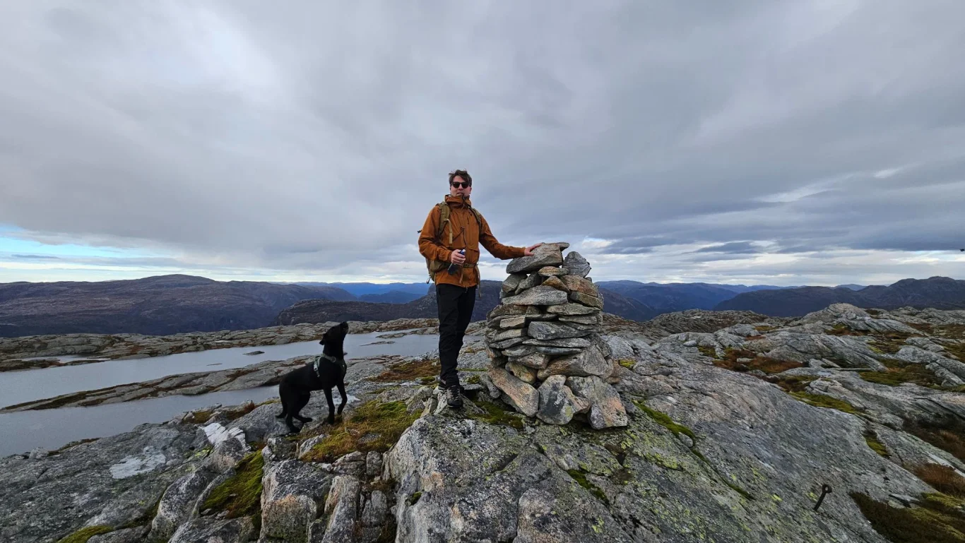
Mountain hike to Flatavasshaugen (782 m) from Stanghelle
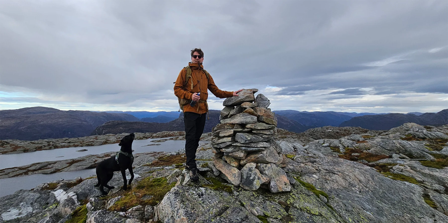
Fjelltur til Flatavasshaugen (782 moh) fra Stanghelle
Photo: Admin

The GPX Track is for guidance only and may contain errors. Use at your own risk.
– always check maps, weather and conditions before your trip.

Access

Approximately 55 min (58.0 km) drive from Bergen.

Parking

Parking space just off the main road.

Description

The tour starts at the parking lot on the south side of the Dalevåg Tunnel.

Go up the hill and turn right. Follow the road through the farmyard and further inland; it curves in an arc and leads you upwards before ending at around 200 m. From here a clear path takes you over, partly paved with many stone steps – an impressive feat. At around 400 m. the terrain flattens out, and the path goes through forest and marshes, nicely laid out with paving stones and wooden bridges.

At the stables at Hellesætra, take the path up to the right. It goes steeply up the ridge towards Tjørnhaugane, where the dense forest breaks up, and continues in open mountain landscape until you see Botnavatnet on the left. From here, the path is sometimes unclear, but small cairns show the way through cliffs and steeps. Just past this lake, you see the larger Flatavatnet on the right and the ridge to Flatavasshaugen with the small summit cairn on the left.

Continue southwest to a signposted crossroads, then take the path towards "Dalestølen". After about 150 metres, take a detour in a northeasterly direction up to the summit cairn at Flatavasshaugen (782 m), which is visible from a long Distance . Return the same way – or make the trip a round trip via Vatnastølen and down the valley towards Hellesætra for a great finish.

Information

Length round trip: Approximately 12 km.
Time: Approximately 4-5 hours
Elevation gain 760 meters
Season: May - Nov
Grading: Medium

Processing elevation data.. .

You use GPX files that you download from our server 100% at your own risk.

Accommodation nearby

Hiking nearby