
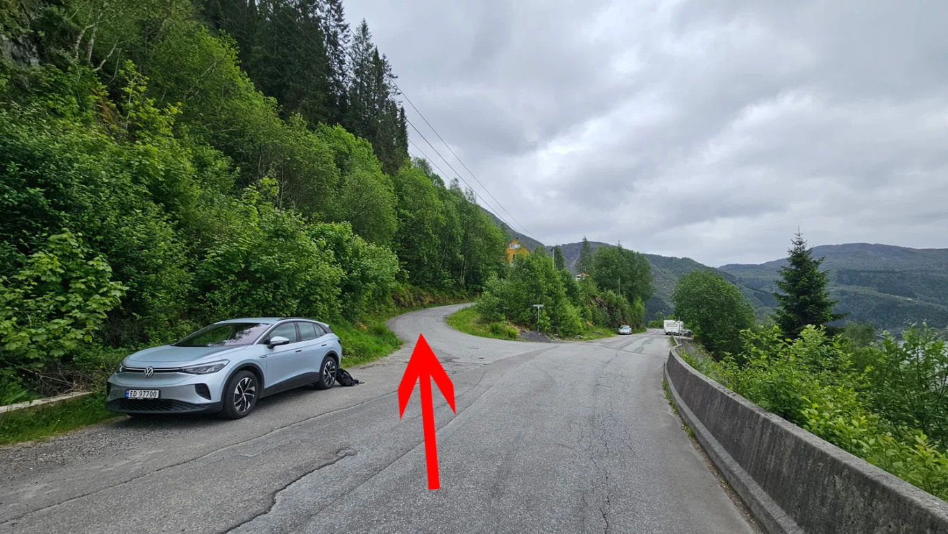
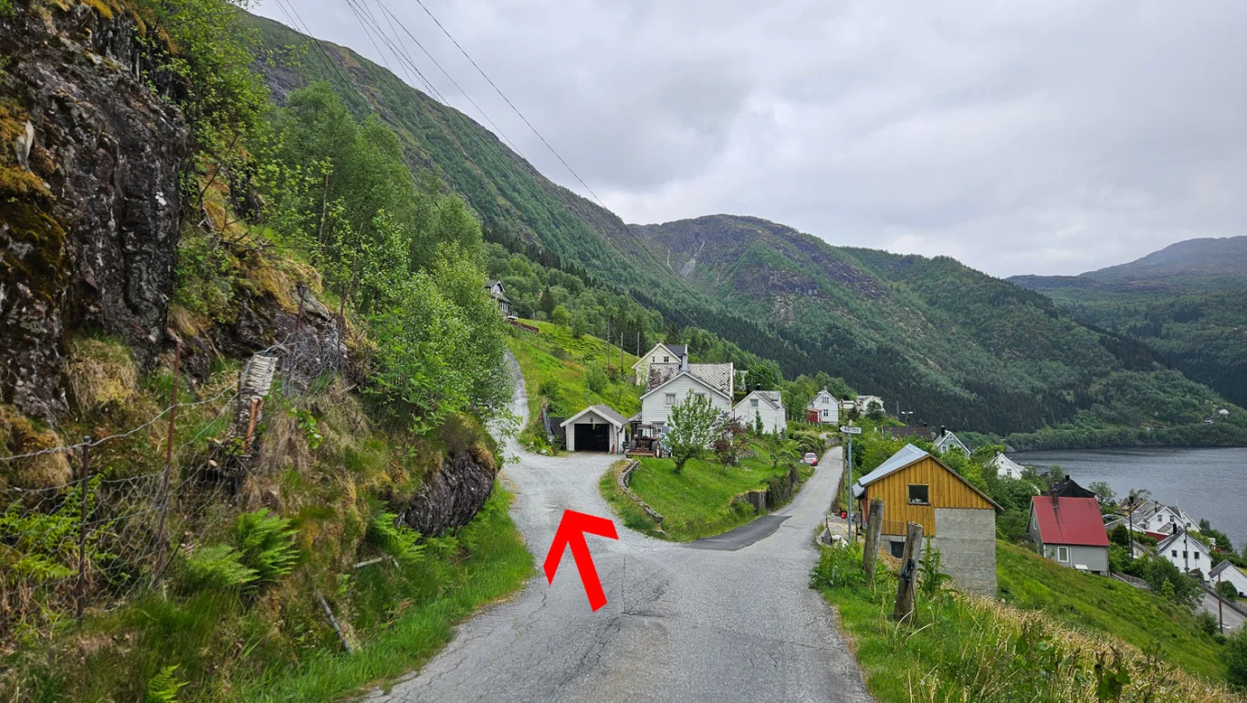
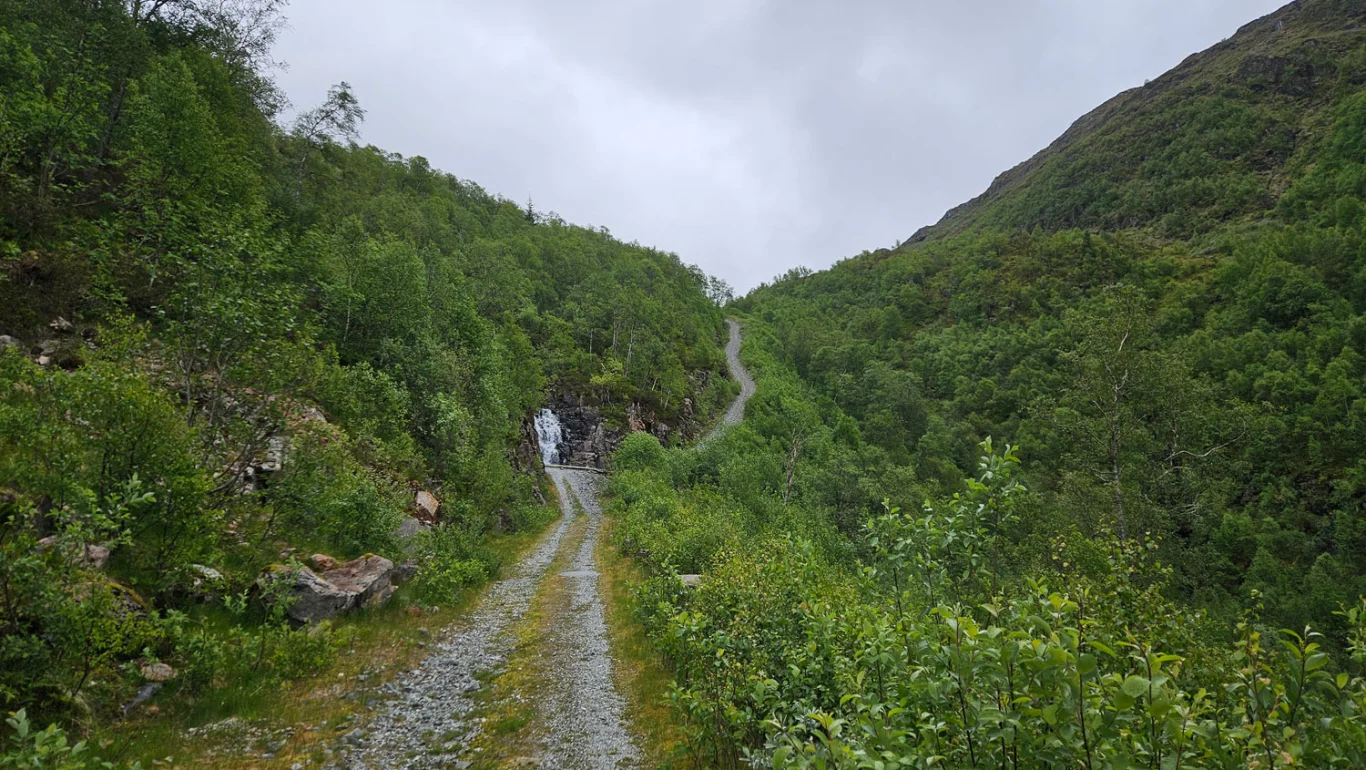
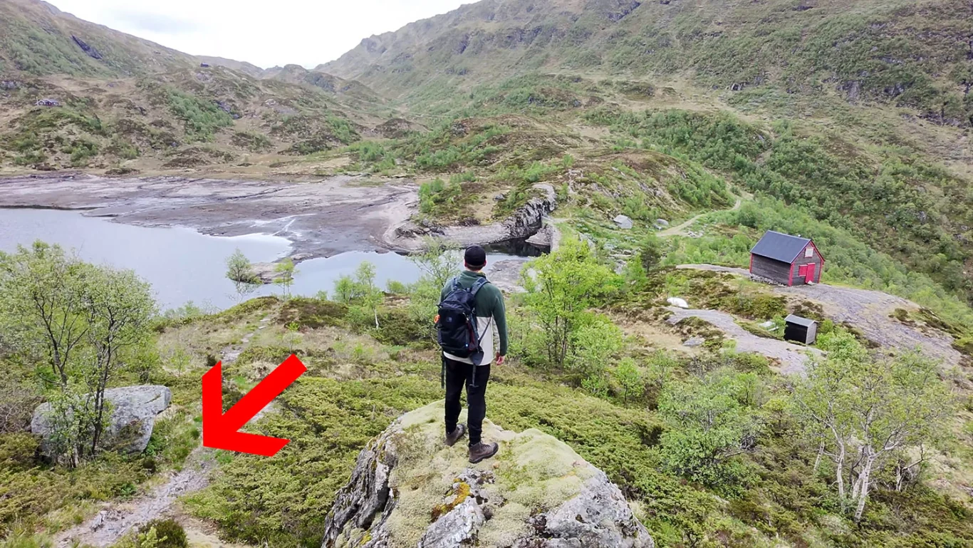
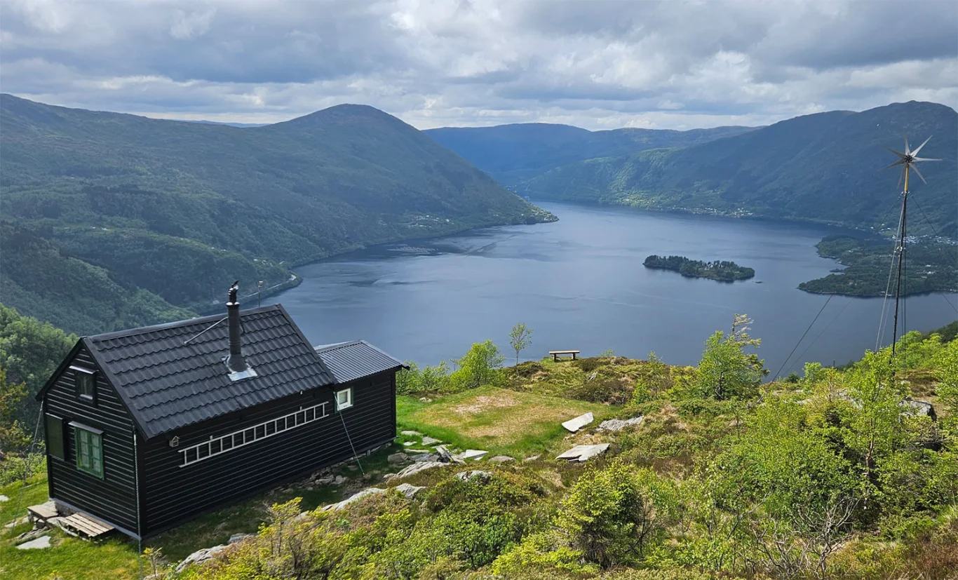
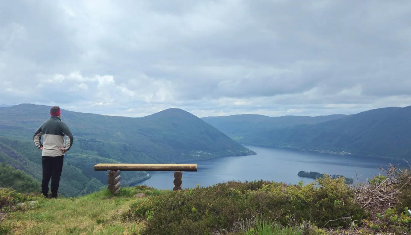
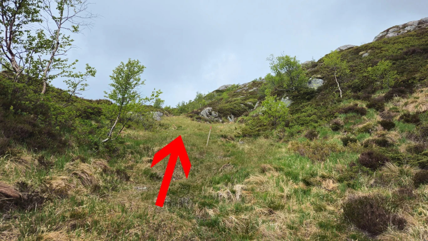
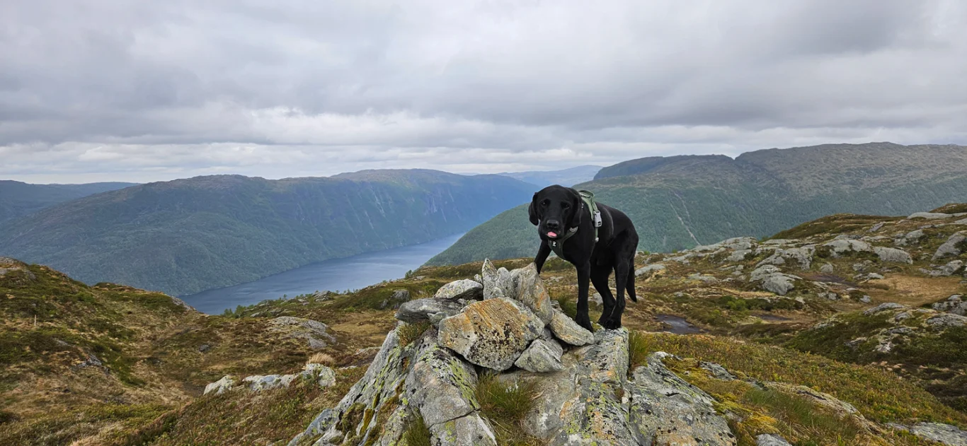
Mountain hike to Bogafjellet (633 m) in Vaksdal
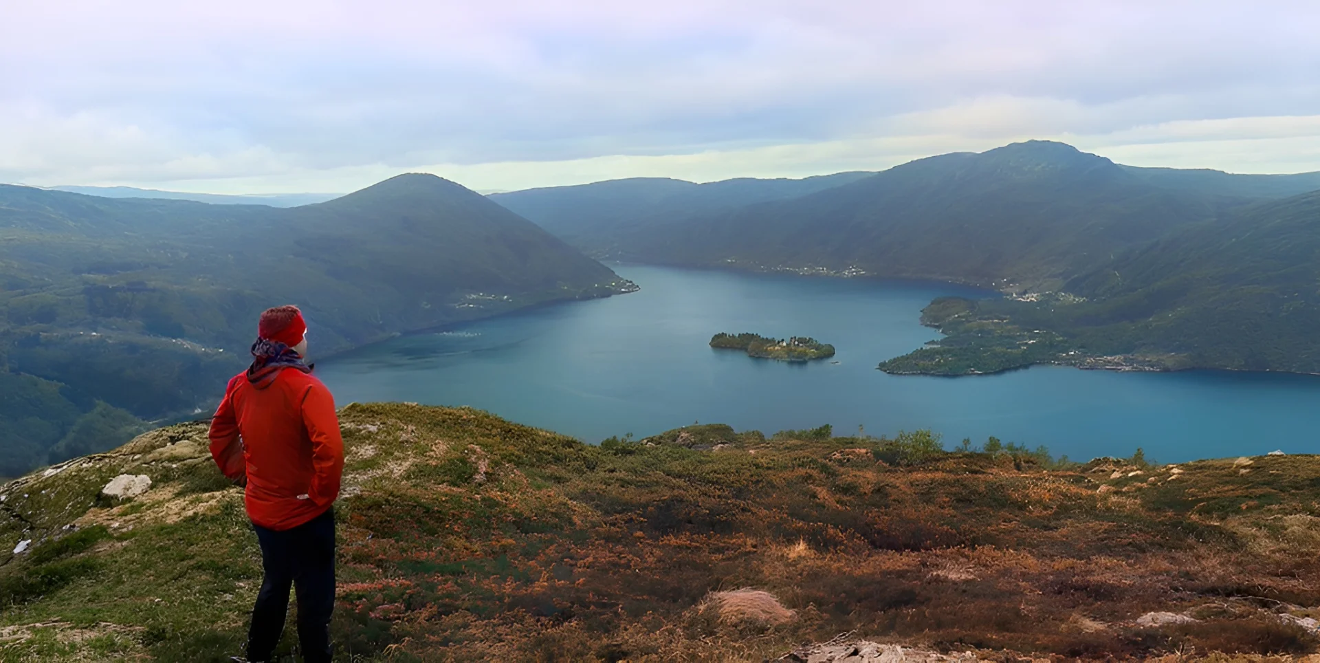
Fjelltur til Bogafjellet (633 moh) i Vaksdal
Photo: Chris A.

The GPX Track is for guidance only and may contain errors. Use at your own risk.
– always check maps, weather and conditions before your trip.

Access

Approximately 50 min (46.0 km) drive from Bergen.

Parking

Free parking in parking space.

Description

Work your way up the Monsterbakken to Bogavatnet and experience the panoramic view from Bogafjellet!

You can park in a parking space along Bogaveien, right by the entrance to Øvre Bogaveien. From here, follow Øvre Bogaveien up the hill and across the flat. After about 100 meters, a gravel road/construction road turns off to the left. Follow this up a steep hill and further up through several bends.

Once past the bends, the road flattens out and becomes a steady climb up the valley. Continue until you reach the waterfall. Just after the waterfall you will encounter an extra steep hill, locally known as 'Monsterbakken'. Continue on the construction road until you reach the dam at Bogavatnet. There are benches set up here – a nice place for a break.

The construction road ends at the dam. Cross the dam and follow the path that starts just after, in a northwesterly direction. The path is clear and leads you towards Bogafjellet. When you get up to the cabin, the path becomes somewhat worse, but from here it is marked with red painted sticks. Follow these to the top of Bogafjellet.

The summit itself is not particularly well marked, just a small pile of rocks. From here there is a good view of the fjord to the northwest. For the best view – “the grand view” – follow the path a little way back and turn west, where you round a small peak that goes down towards Sørfjorden. Here you get a fantastic view: Sørfjorden straight ahead, Hananipa to the left, and Bruviknipa and Olsnesnipa to the right.

On the way down to Bogavatnet, you can take a detour to the cabin and enjoy the view from the beautiful viewing bench facing the fjord.

The return journey is the same way. Alternatively, from the area by Bogavatnet, you can follow the path down instead of the construction road. This path is steep and built with solid stone steps. You will eventually come onto the construction road further down.

Have a good trip!

Information

Length: Approximately 7 km round trip
Time: Approximately 4 hours round trip
Elevation gain: 591 meters
Season: Spring, Summer, Autumn
Grading: Medium

Processing elevation data.. .

You use GPX files that you download from our server 100% at your own risk.

Accommodation nearby

Hiking nearby