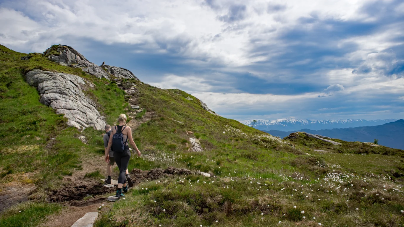
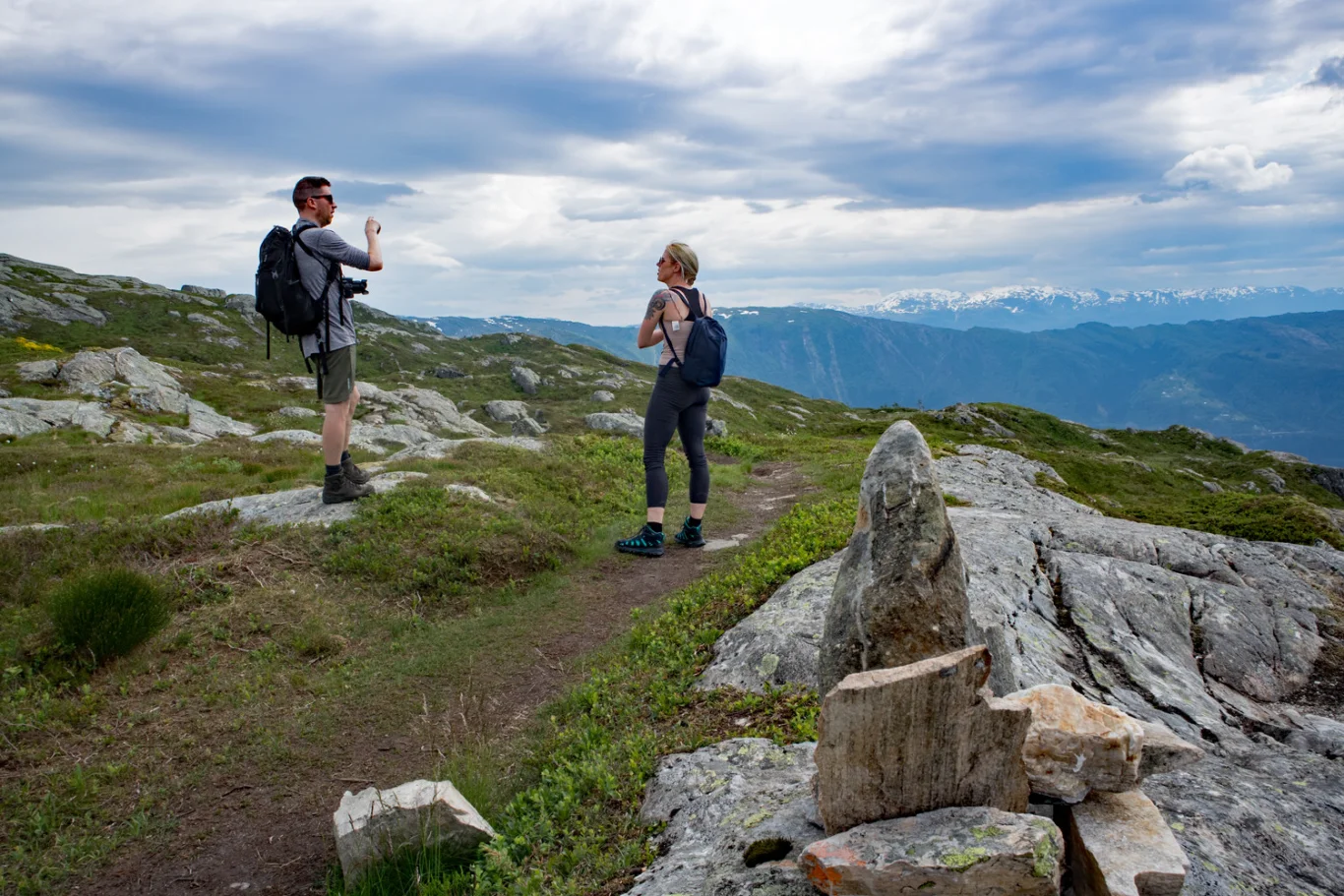
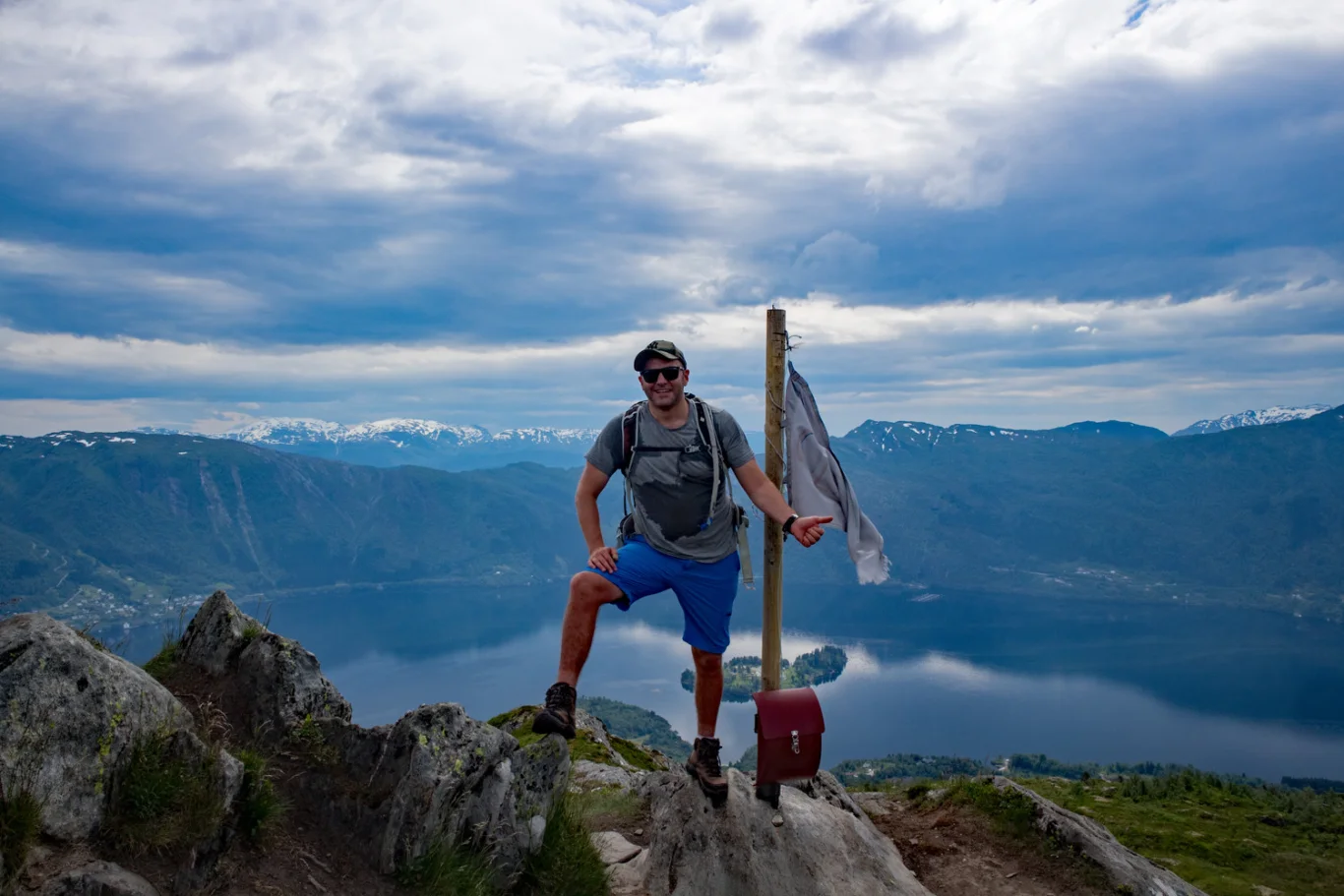
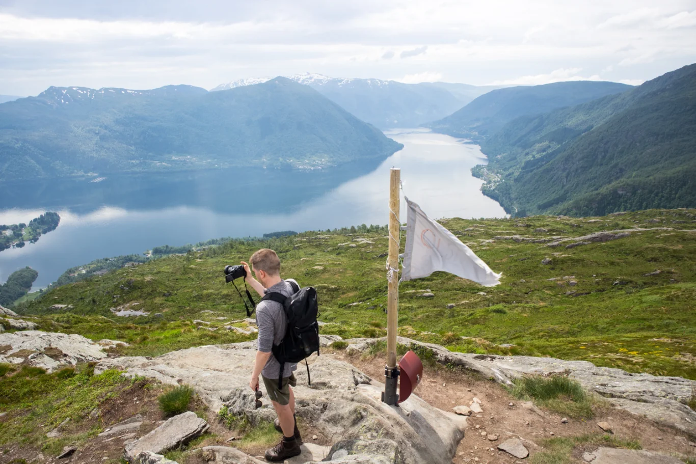
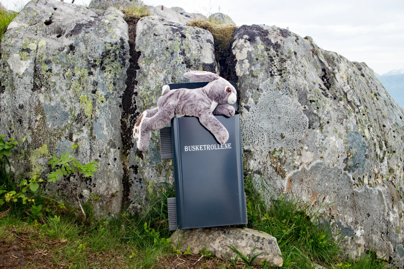
Olsnessåta (600 m above sea level) from Bruvik on Osteroy
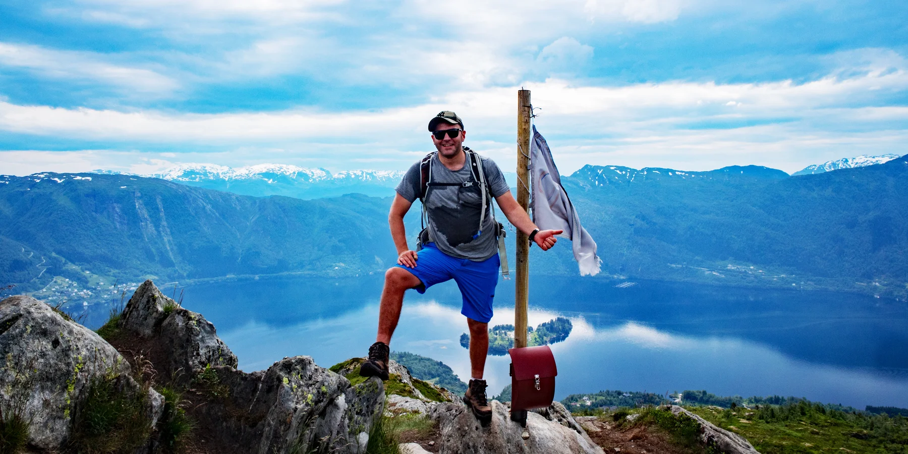
Photo: Admin

You use GPX files that you download from our server 100% at your own risk.
Accommodation nearby


Hiking nearby


Hot
Distance
2.49 Km


Distance
5.55 Km

Distance
6.1 Km


