
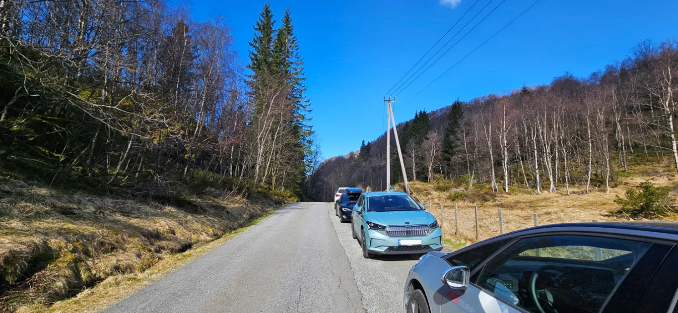
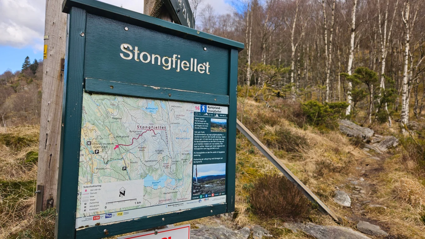
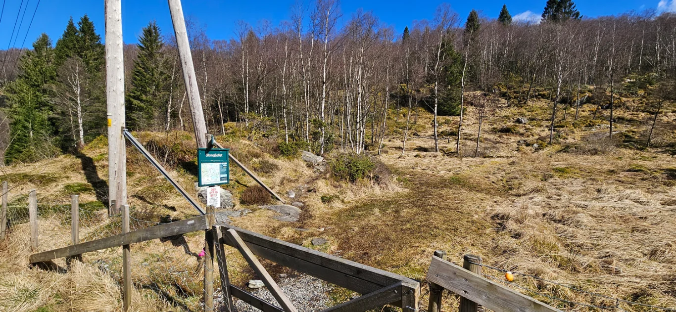
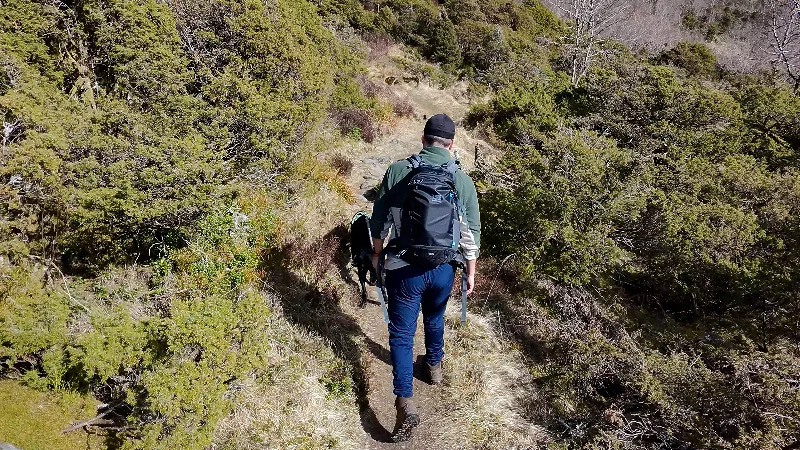
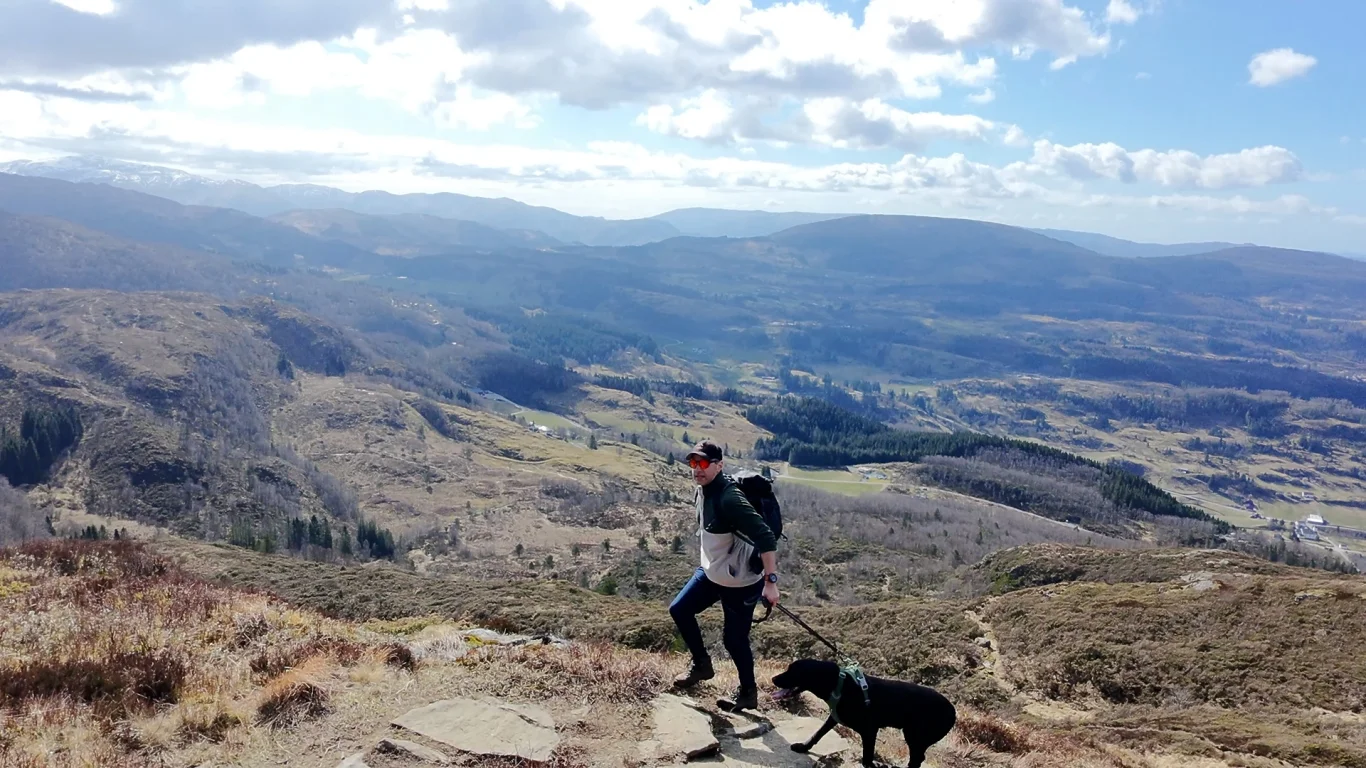
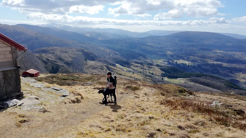
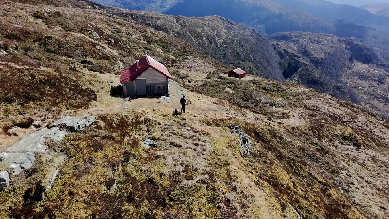
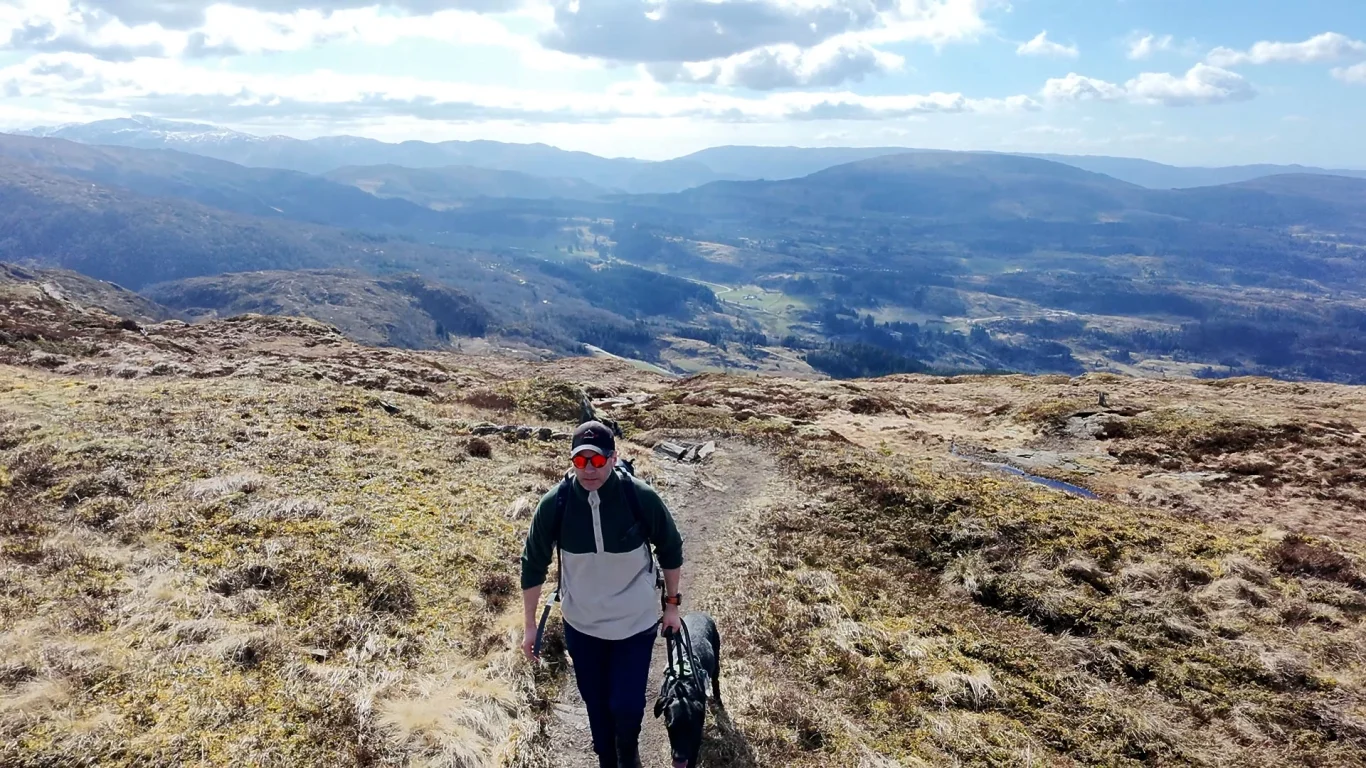
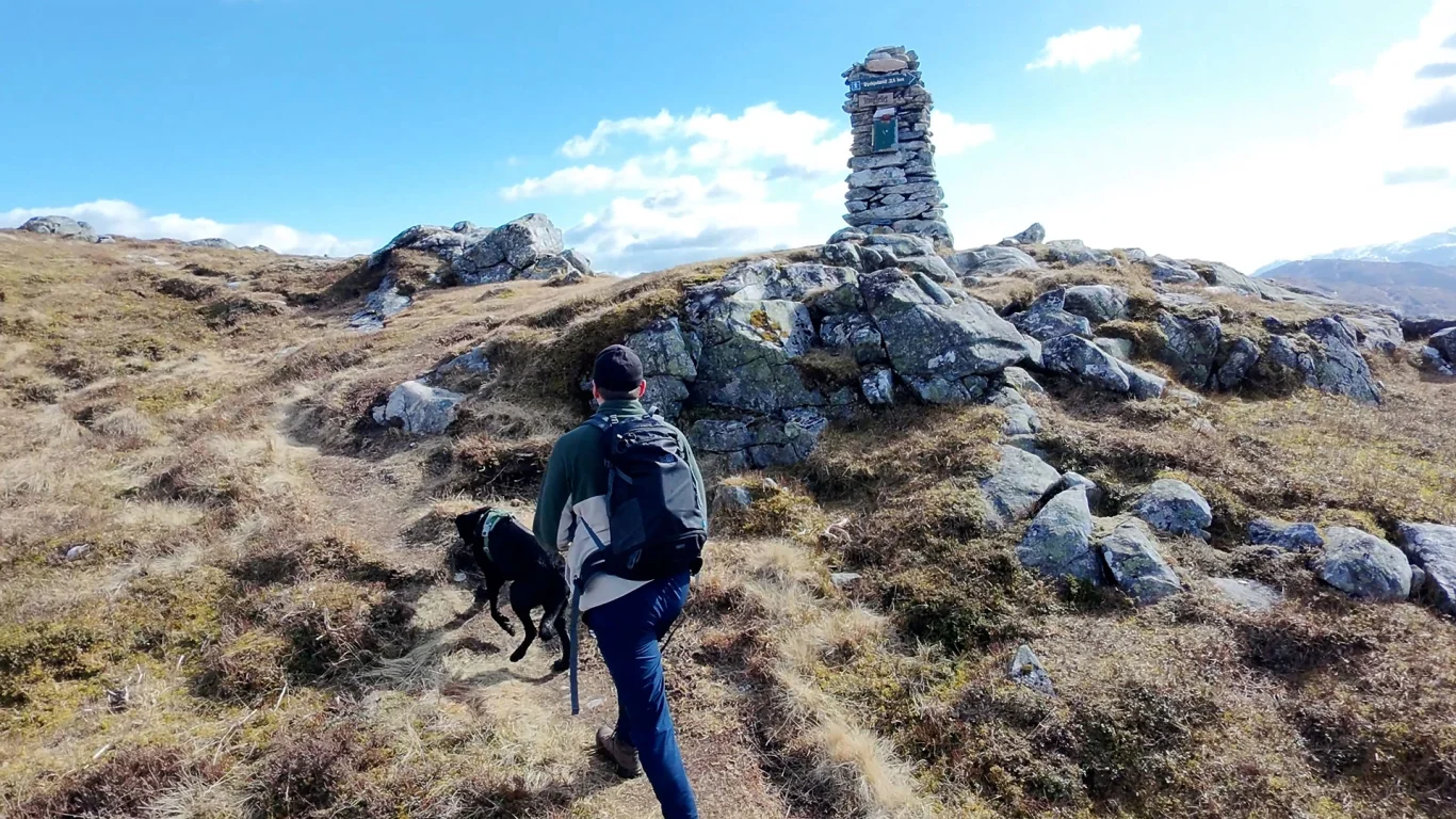
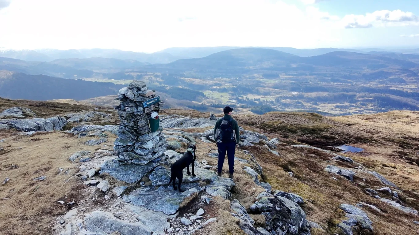
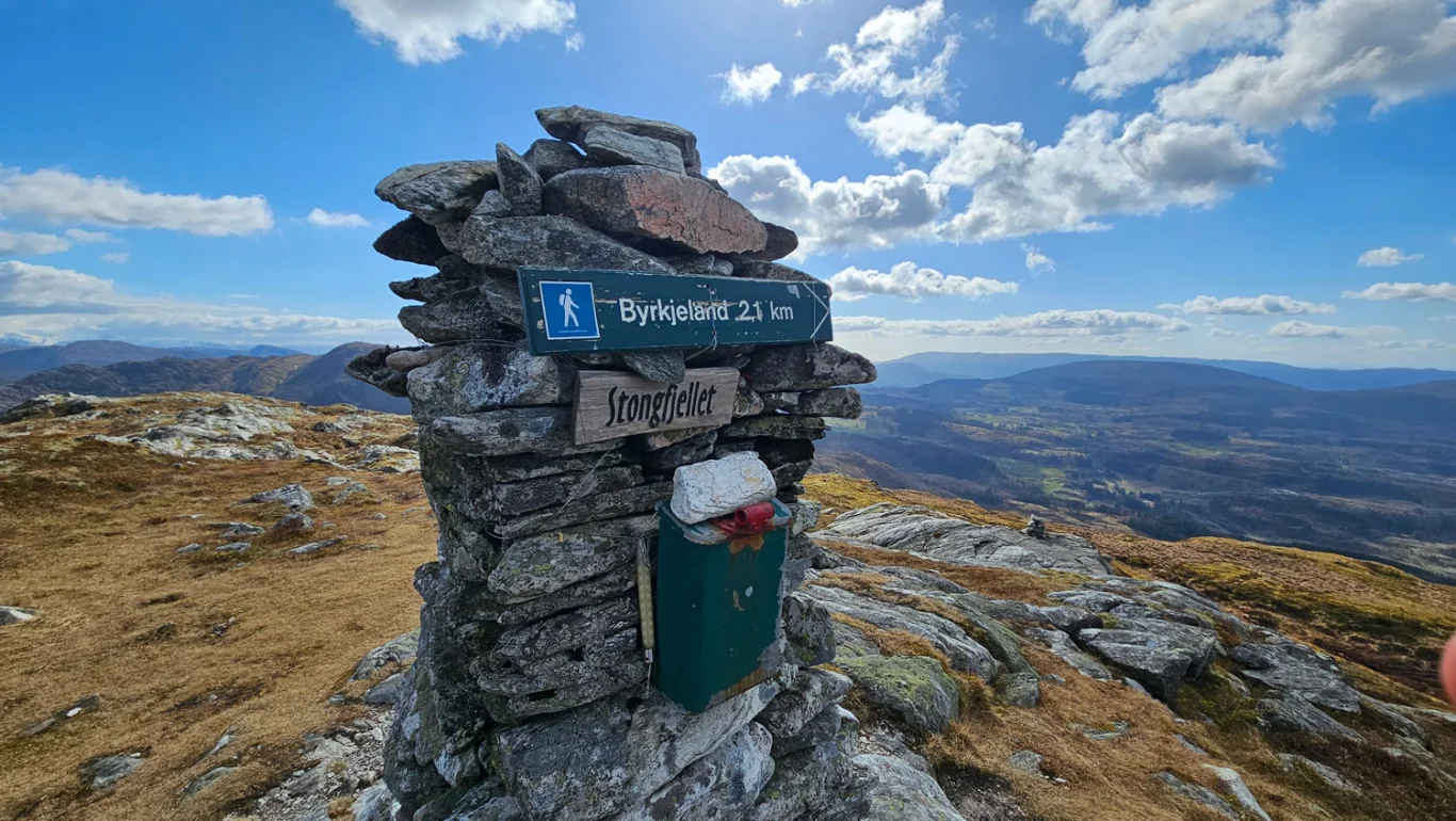
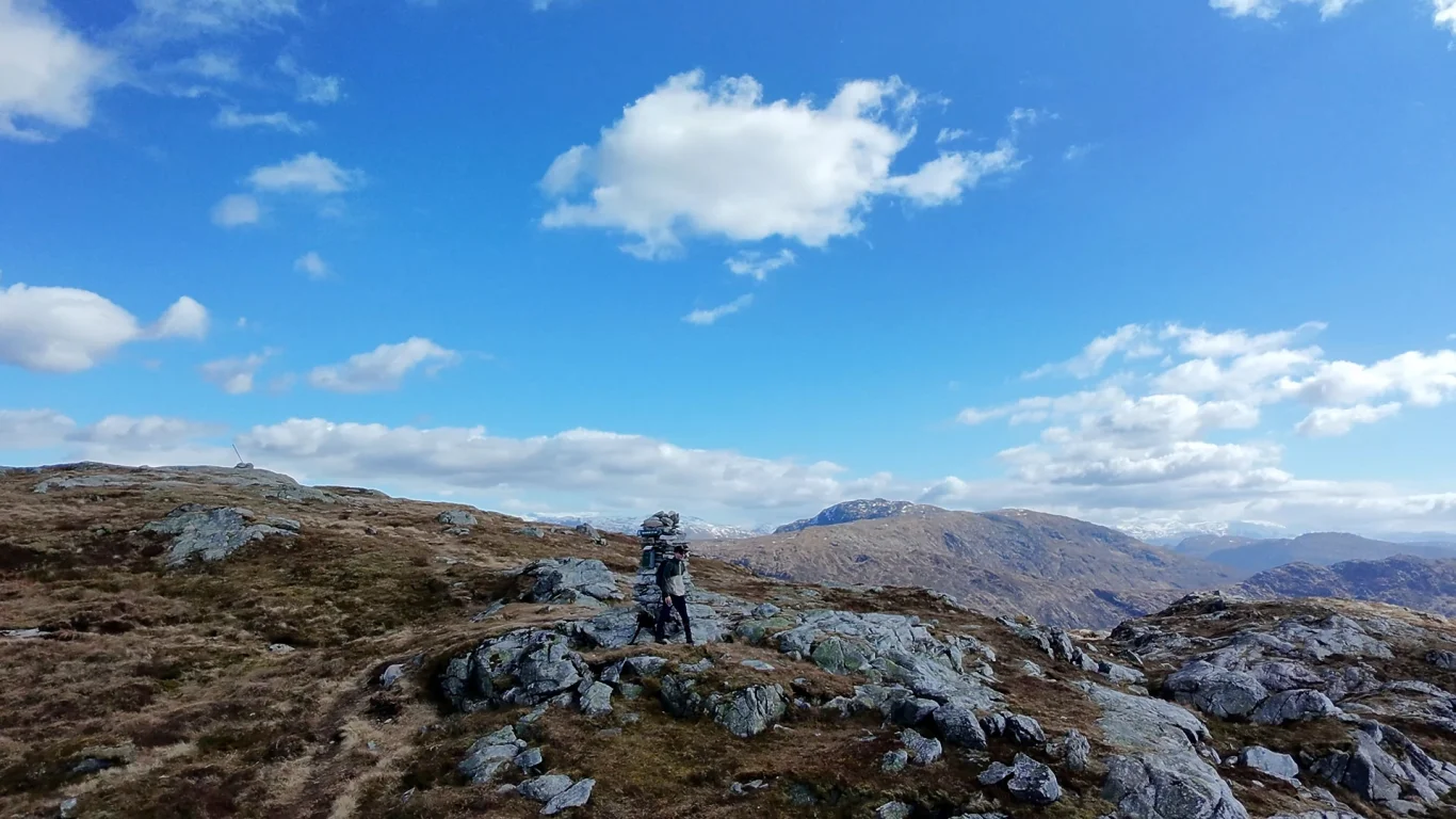
Mountain hike to Stongfjellet (640 m above sea level)
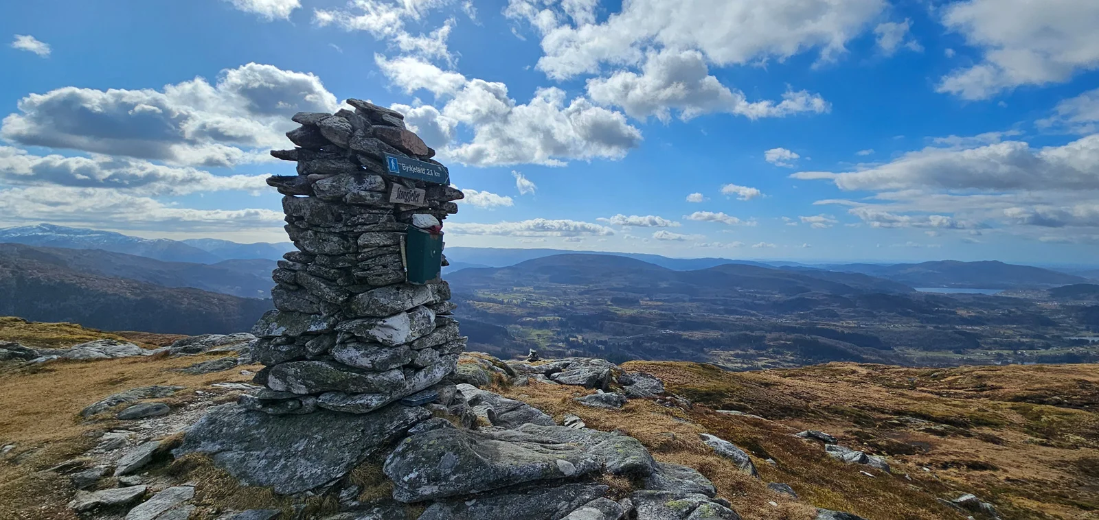
Fjelltur til Stongfjellet (640 moh)
Photo: Chris A.

The GPX Track is for guidance only and may contain errors. Use at your own risk.
– always check maps, weather and conditions before your trip.

Access

Approximately 50 min (47.7 km) drive from Bergen.

Parking

Parking in the parking lot at the start of the tour.

Description

The hike starts at Byrkjeland, where there is parking along the road and a large sign showing where the trail begins.

First you walk on a path through a birch forest, then follow some steep sections. Finally you reach the tree line and Byrkjelandsetra, where there are several old cabins.

From here you follow the path through open mountain landscape all the way to the top of Stongfjellet. The cairn at the top is visible from a long Distance .

The hike up takes about an hour. Return the same way.

Information

Length: Approximately 4 km round trip
Time: Approximately 2 hours round trip
Elevation gain: 360 meters
Season: Mostly as long as there is no snow.
Grading: Simple

Processing elevation data.. .

You use GPX files that you download from our server 100% at your own risk.

Accommodation nearby

Hiking nearby