
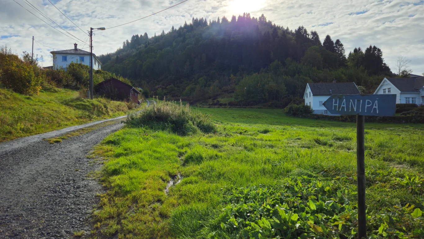
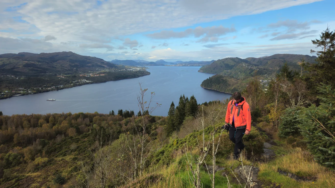
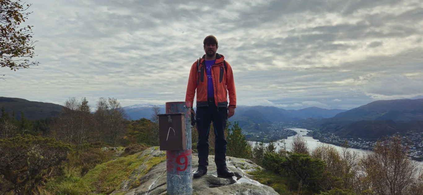
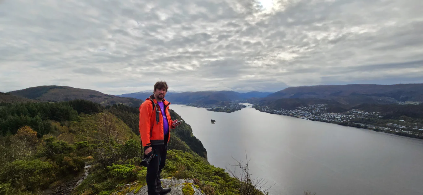
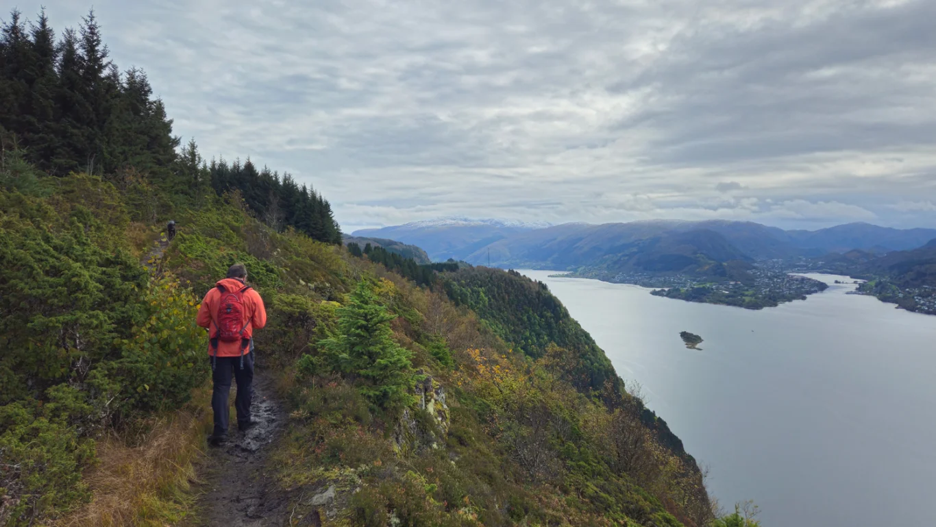
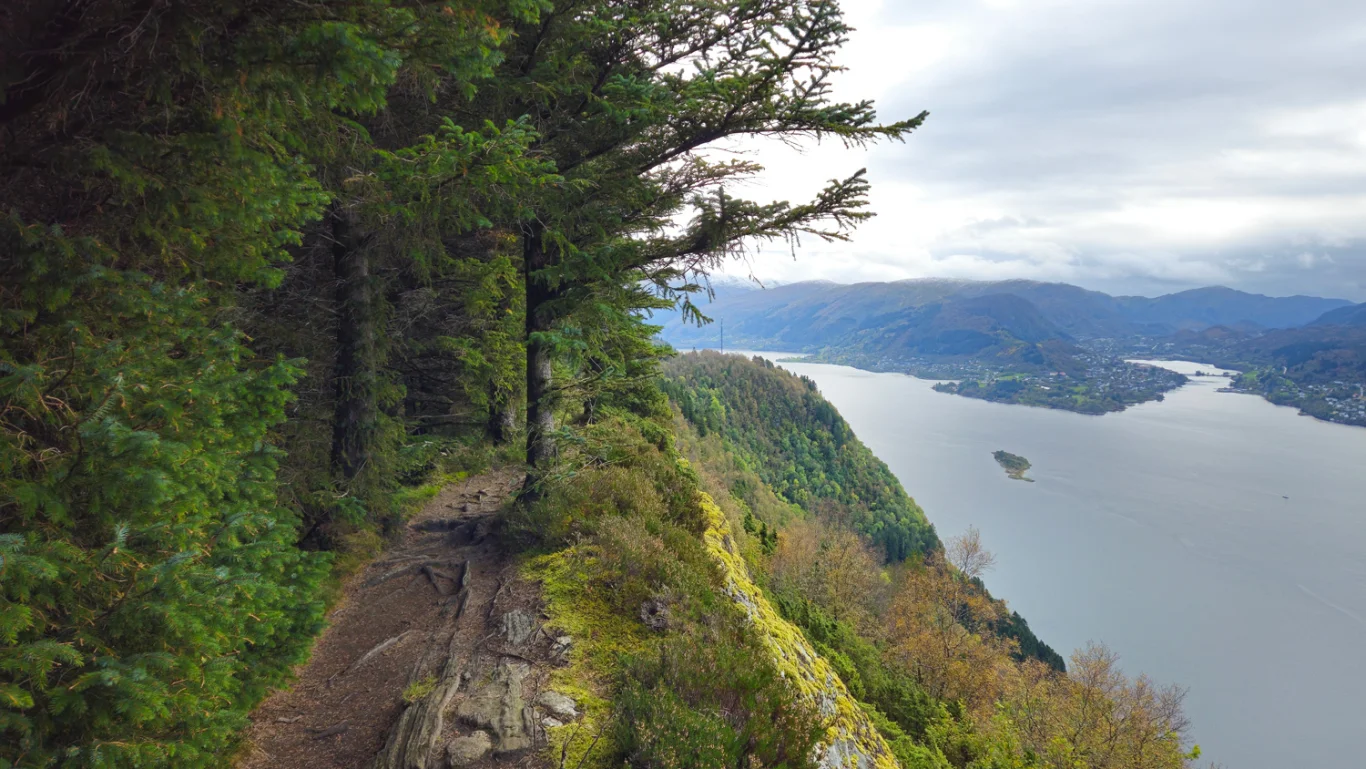
Mountain hike to Hånipa (346 m) and the panorama trail on Osterøy
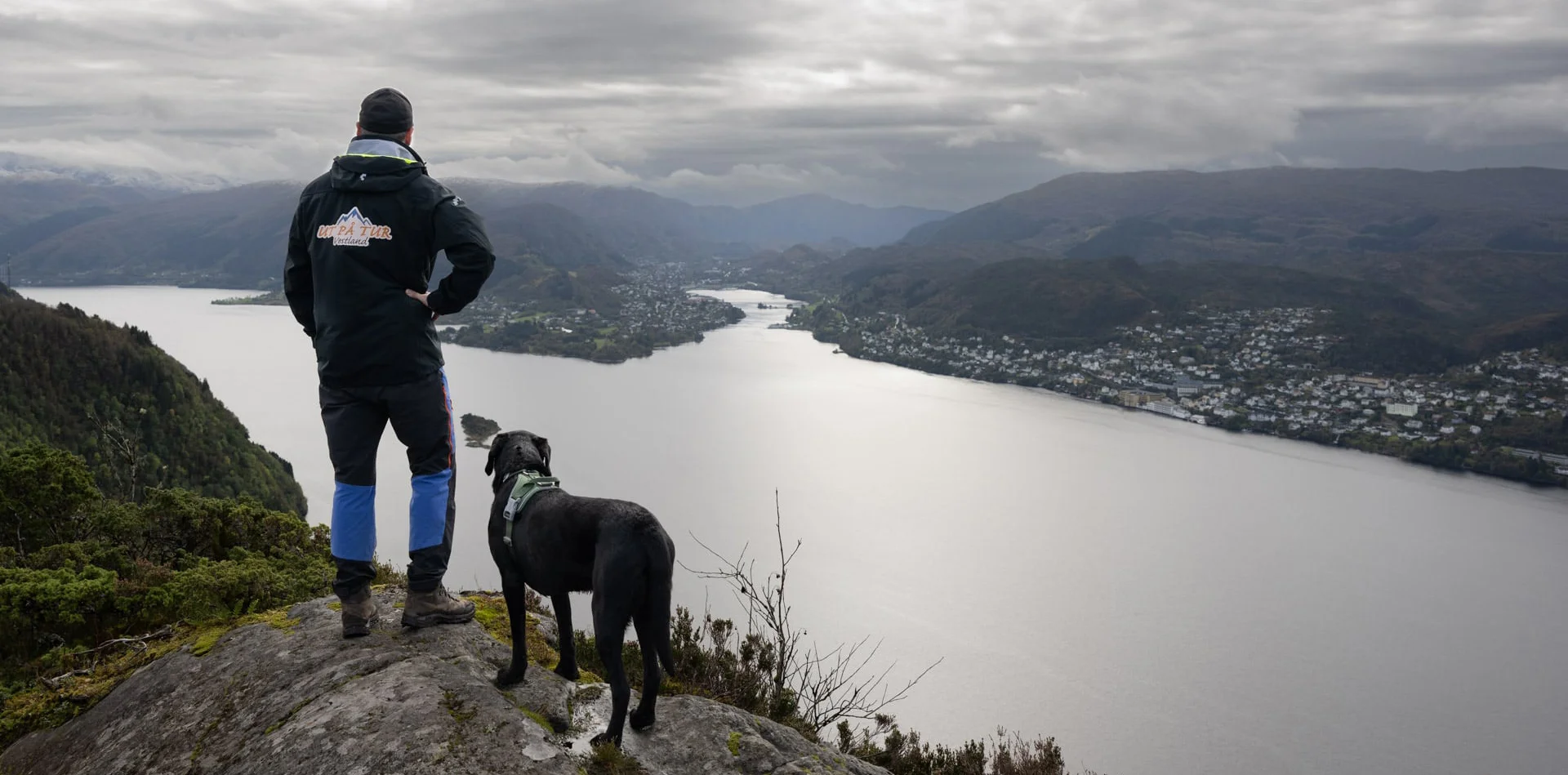
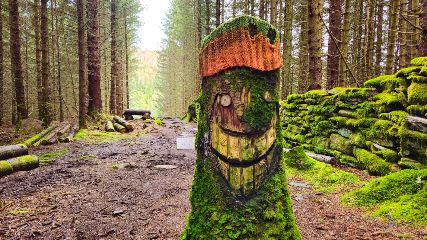
Fjelltur til Hånipa (346 moh) og panoramastien på Osterøy
Photo: Admin

The GPX Track is for guidance only and may contain errors. Use at your own risk.
– always check maps, weather and conditions before your trip.

Access

Approximately 45 min (22.6 km) drive from Bergen.

Parking

Free parking after hours on weekdays.

Description

A mountain hike to Håpnipa and over the Panorama Trail offers a fantastic experience with great fjord views! Start the hike on Reigstadveien, where you walk through a housing estate in rural surroundings. Follow the sign marked 'Hånipa' and take the gravel road up, then the path to the right after the garage. Here the climb begins, and you pass old stone ruins before reaching the viewpoint 'Varden', where a bench awaits you.

Continue over Reigstadfjellet, and when you reach the ridge, the spectacular view will reveal itself. The path leads you to Håvarden, the highest point on the mountain.

The hike continues southeast along the ridge. Here the path goes right out on the edge and offers panoramic views, especially great towards Arna.

After a while, the path turns into the spruce forest, where you will discover trees decorated like funny figures wearing hats. Follow the path down to a new forest road that leads you back to the starting point. Have a good trip!  

Information

Length: Approximately 6.5 km round trip
Time: Approximately 2-3 hours round trip
Elevation gain: 336 meters
Season: March - Nov
Grading: Medium

Processing elevation data.. .

You use GPX files that you download from our server 100% at your own risk.

Accommodation nearby
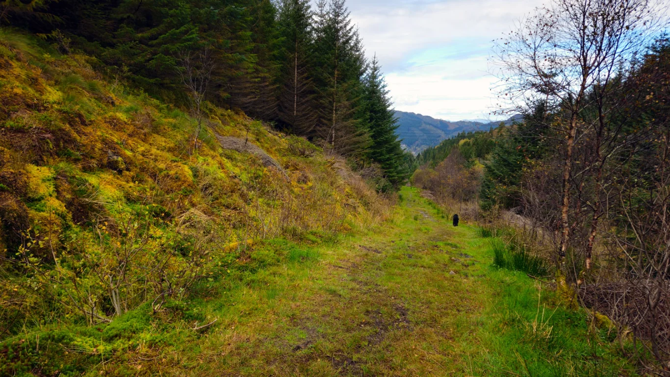
Hiking nearby