Hetlebakksåta (334 m above sea level) from Hetlebakka
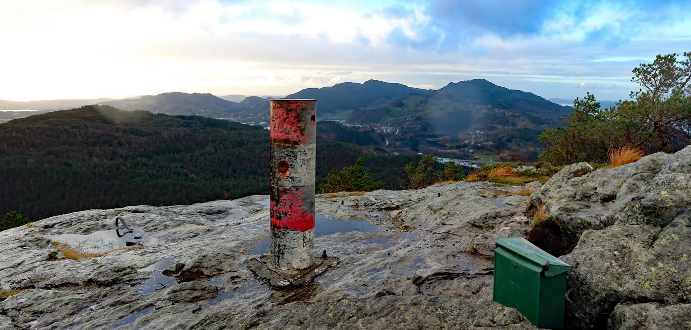
Photo: Admin
Information
Hetlebakksåata (334 m. above sea level).
Length round trip 2.10 km.
Elevation gain: Approx. 185 m.
Time: 1 hour round trip.
Season: All year round. Winter.
Length round trip 2.10 km.
Elevation gain: Approx. 185 m.
Time: 1 hour round trip.
Season: All year round. Winter.

Processing elevation data.. .
You use GPX files that you download from our server 100% at your own risk.
Accommodation nearby


Hiking nearby

Distance
1.47 Km


Distance
2.71 Km

Distance
3.22 Km


Distance
5.11 Km


The 3-mountain hike in Åsane - Høgstefjellet - Tellevikfjellet - Nordgardsfjellet - Bergen, Vestland
Premium
Distance
5.68 Km
