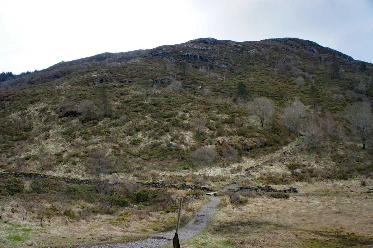
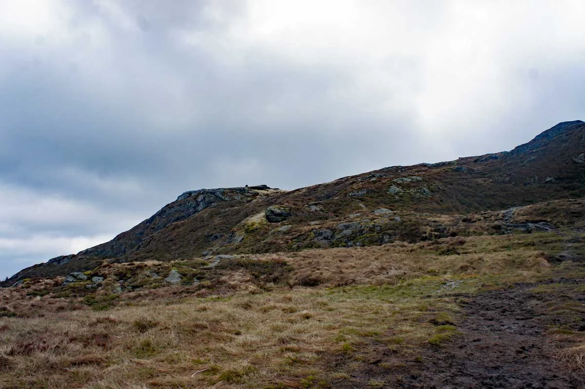
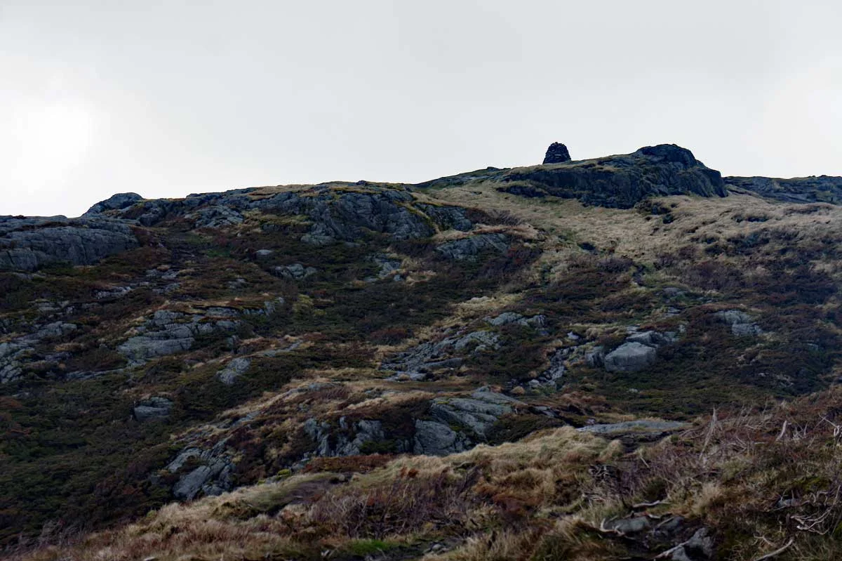
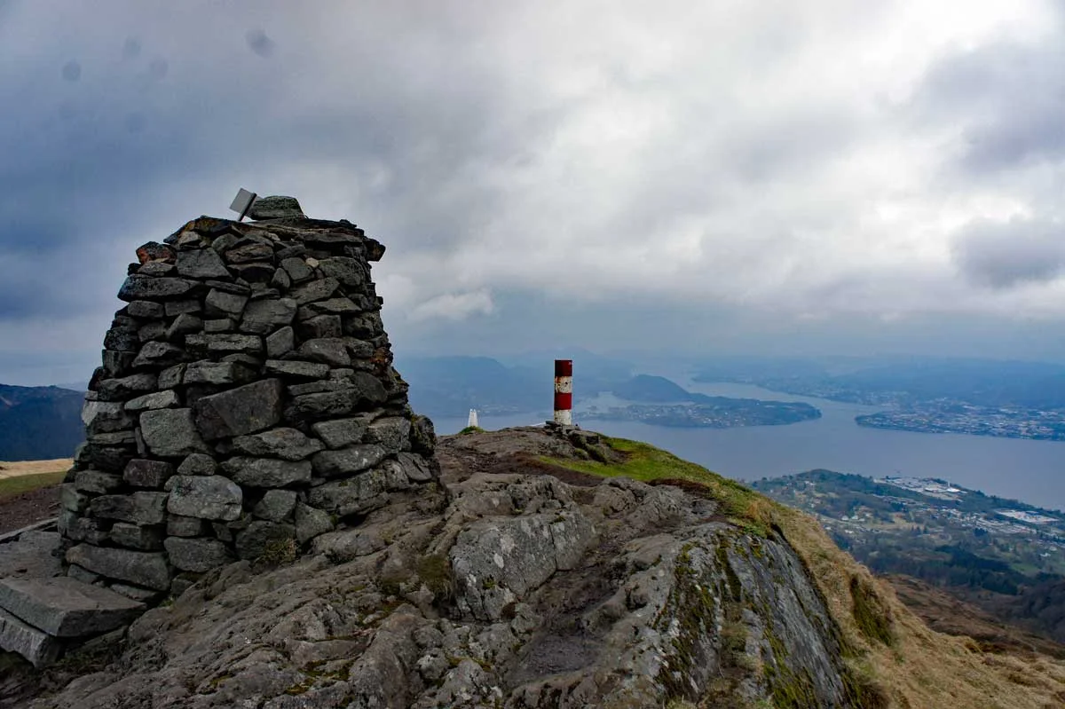
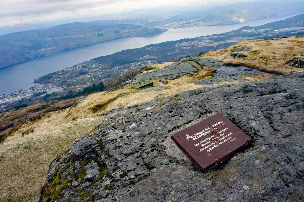
Veten (486 m) in Åsane
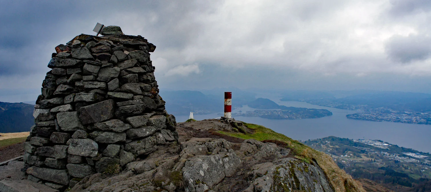
Photo: Admin

Processing elevation data.. .
You use GPX files that you download from our server 100% at your own risk.
Accommodation nearby


Hiking nearby

Hot
The 3-mountain hike in Åsane - Høgstefjellet - Tellevikfjellet - Nordgardsfjellet - Bergen, Vestland
Premium
Distance
1.28 Km


Distance
4.47 Km


Distance
7.02 Km


Distance
8.23 Km