
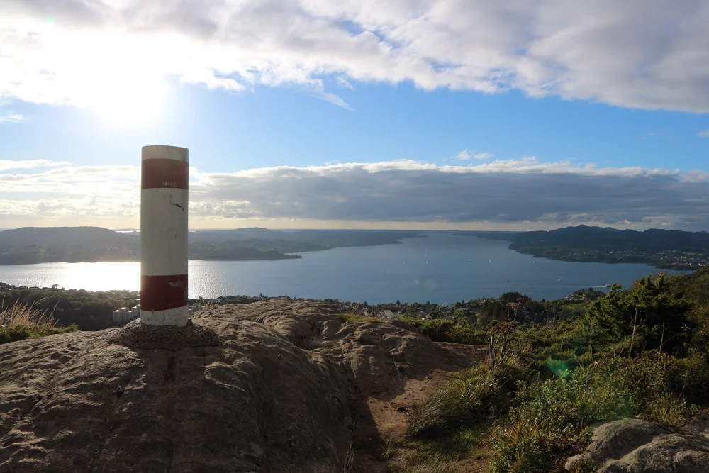
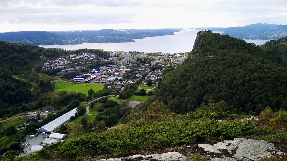
Toppenipa (232 m) and Toppefjellet (252 m) in Åsane
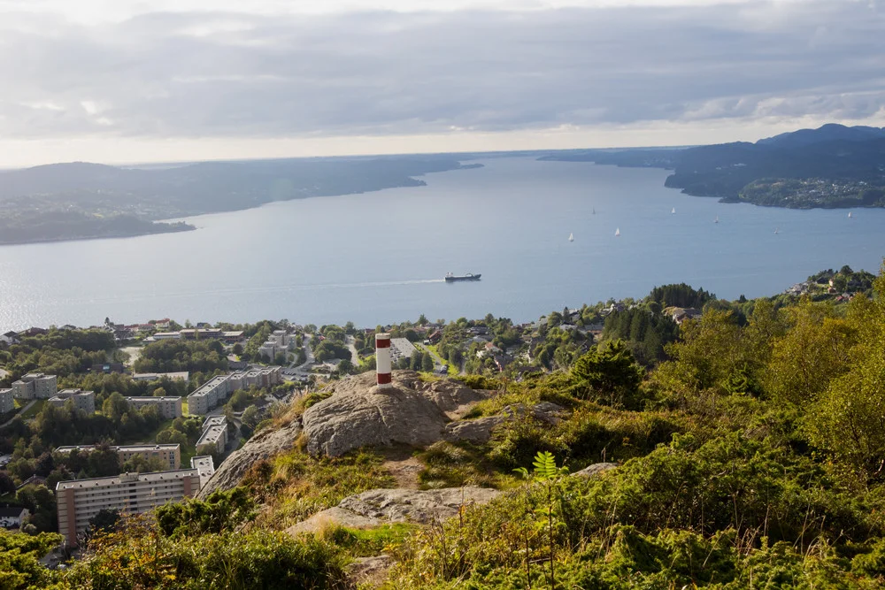
Toppenipa (232 moh) og Toppefjellet (252 moh) i Åsane
Photo: Admin

The GPX Track is for guidance only and may contain errors. Use at your own risk.
– always check maps, weather and conditions before your trip.

Access

From Bergen you drive to Åsane and then continue towards Salhus. Just before the Toppe Tunnel, turn left onto old Toppeveien and park along the road in a pocket.  

Parking

Free parking in a pocket along the road.

Description

Follow Toppeveien around the bend to go left up the hill where there is a sign 'Private road / no entry'. Don't be afraid to walk here as there are only cars which are not welcome.

Follow the road around the bend to go up the stone steps (right side) that lead onto the path. Here you just follow the path to the top of Toppenipa. Here there is a Bergensvard and a mailbox further up.

From here you can continue on to Toppefjellet which also has great views. Follow the path southeast down the hill and through the forest. After a few hundred meters it starts to go up again. The path leads all the way to the top. From Toppefjellet there is also a nice view of the fjord, and a particularly tough view towards Toppenipa.

We recommend going back the same way.

Have a good trip!

Information

Topnipa (232 m.)
Toppefjellet (252 m.)
Length: about 3 km.
Round trip time 1-2.
Season: All year round, but be careful if it is cold and icy.
Grading: Simple

Processing elevation data.. .

You use GPX files that you download from our server 100% at your own risk.

Accommodation nearby

Hiking nearby