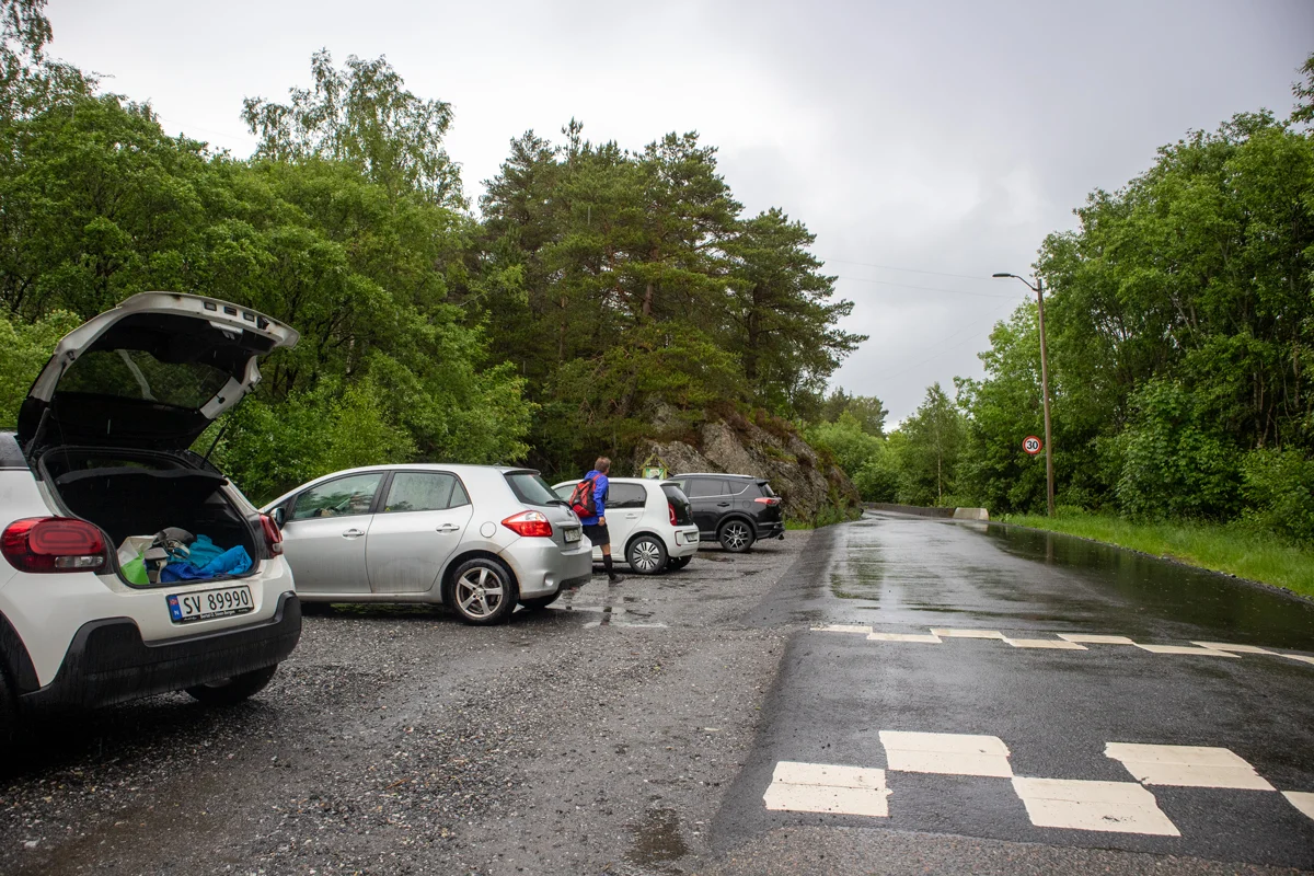
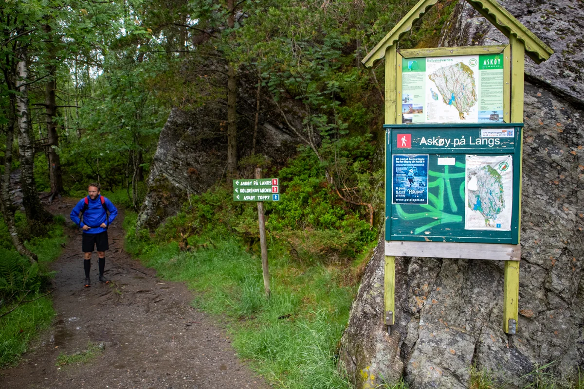
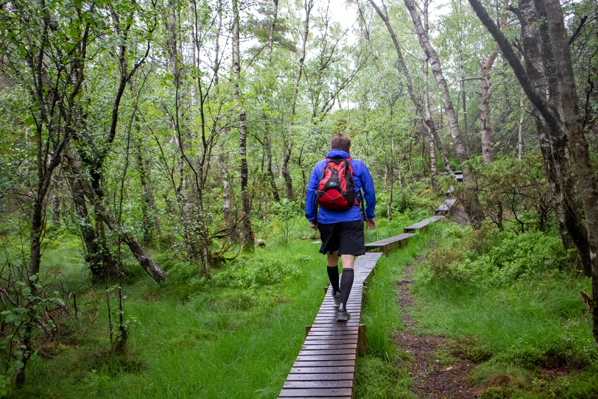
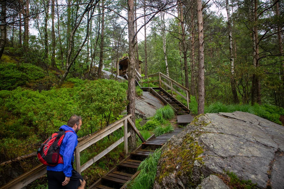
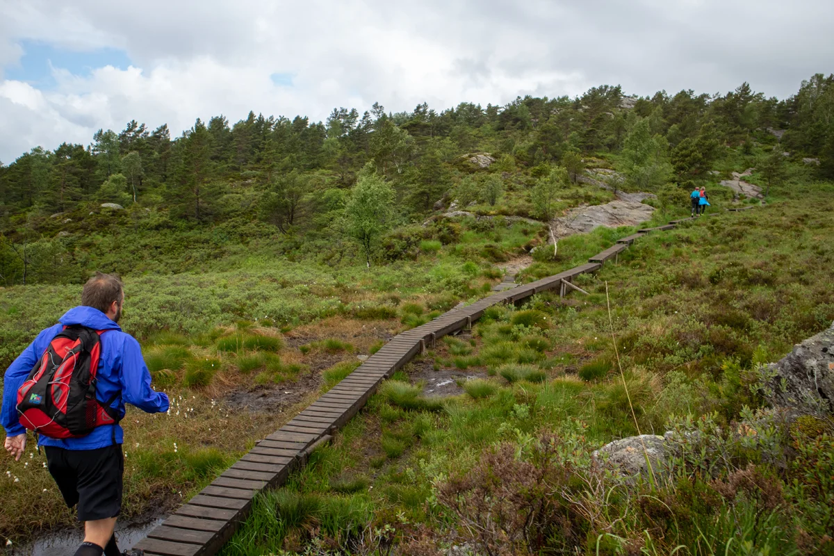
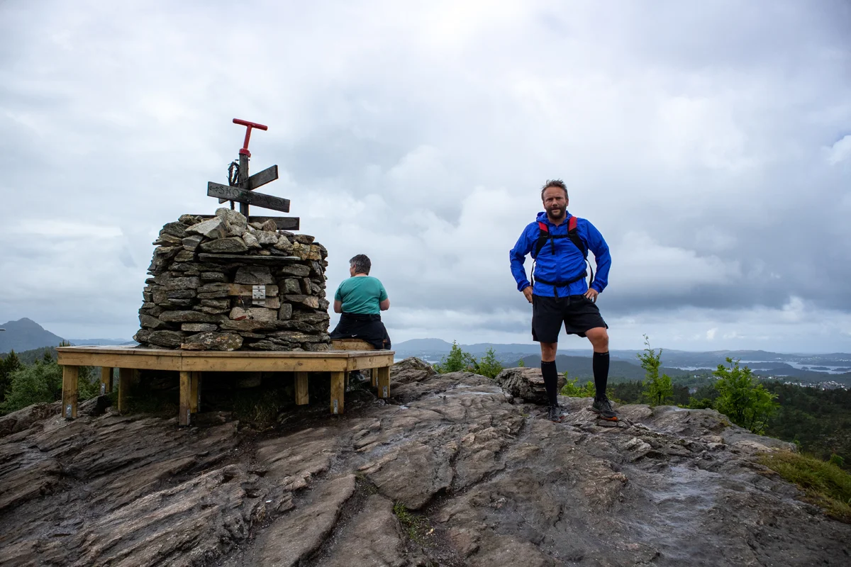
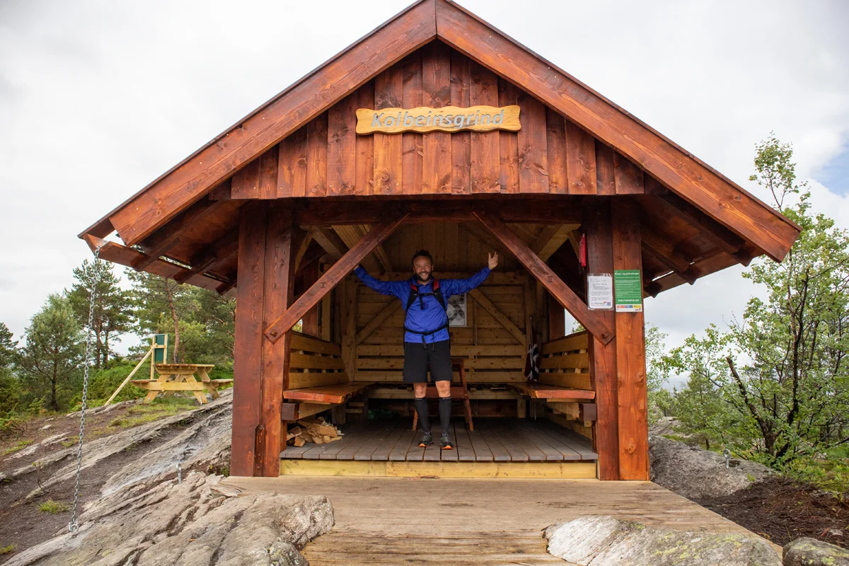
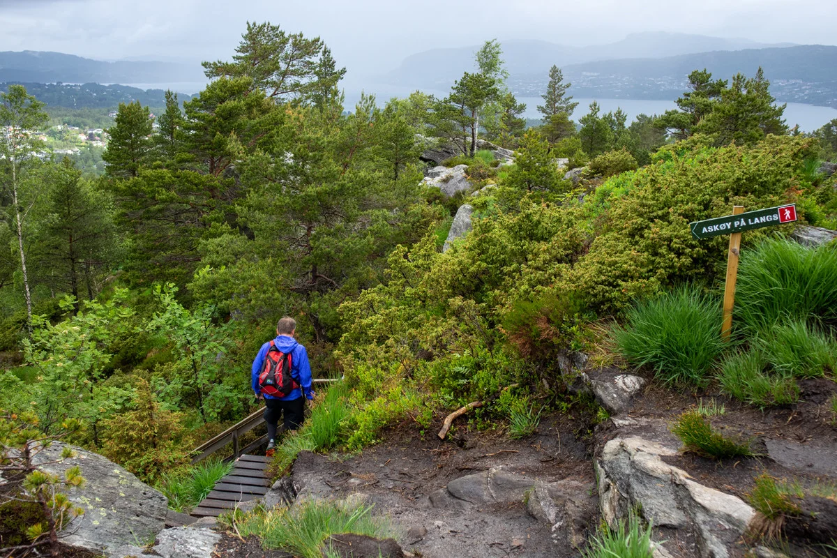
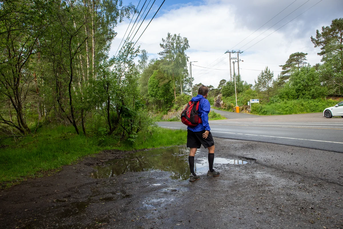
Askøy along the 1st stage (short) from Bergheim - Steinrusten
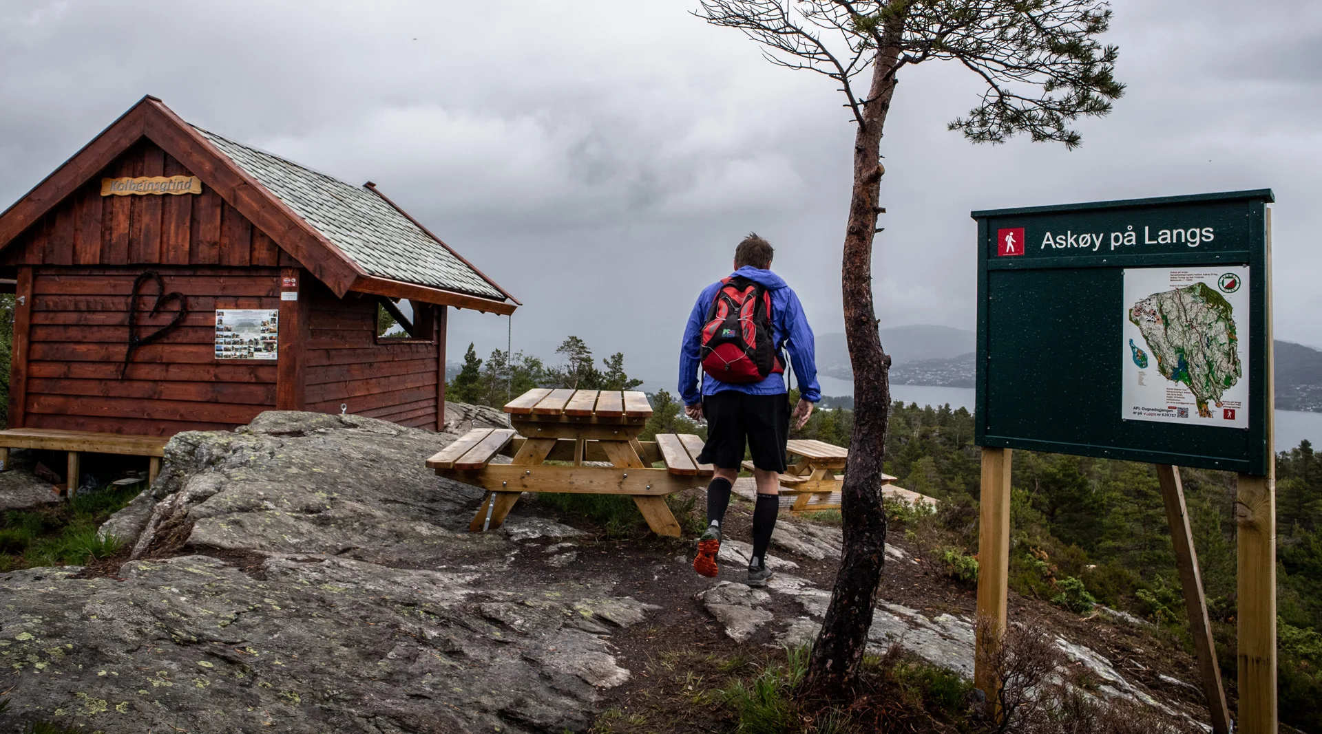
Askøy på langs 1. etappe (kort) fra Bergheim - Steinrusten
Photo: Admin

The GPX Track is for guidance only and may contain errors. Use at your own risk.
– always check maps, weather and conditions before your trip.

Access

From Bergen you drive to Askøy. Drive right after the bridge towards Kleppestø. From Kleppestø you drive through the city center. At the roundabout when you have Kleppestø center on your left, drive left up the hill. Drive Kleppevegen up until you see a sign marked 'Idrettsplass' on your right. Drive the winding road up towards Bergheim past the sports field. The hiking parking lot is after the bend on the left.
Note that this road is closed to traffic. So drive back down the same road.

Parking

Free tourist parking at Bergheim. If the tourist parking is full, drive back and park at the sports field.

Description

Askøy på Langs is a nice hike that goes all the way from Kleppestø to Herdla.

The total Distance is 37 km. The hike is marked with wooden poles and signs. There are kilometers of wooden bridges built so that you can practically walk dry-shod the entire way.

The hike is divided into stages, but the fittest can easily complete the entire hike in one day. The first stage starts in Kleppestø, but we chose (as shown on the GPS Track ) to start at Bergheim so we could start right on the beautiful trails.

From Bergheim, follow the path where there is a sign 'Askøy på Langs'. Follow the path into the forest and follow the beautiful wooden bridges. After a while, the path goes over a marsh and down to the right. Follow this path to go down the stairs. You will now enter the main path towards Kolbeinsvarden. From here it is a steady climb. Go up the stairs past Kvilebuen. Just follow the path to the north.

When it flattens out, you have the Langafjellstjørna water on your right. Continue straight ahead on the path over the endlessly long wooden bridges. The last section of the path turns left and there is a steady climb towards the cairn.

At the top there is a great view in all directions. There are benches. If you go north, a nice cabin has been built where you can seek shelter from the rain. Follow the marked path further west and then north. The last part goes steadily downhill, alternating paths and stairs to the road at Steinrusten.


Have a good trip!

[widgetkit id='1174']

Information

Bergheim - Steinrusten
Length: 3.8 km.
Time: about 1-2 hours.
Season: All year round.
Grading: Medium

Processing elevation data.. .

You use GPX files that you download from our server 100% at your own risk.

Accommodation nearby

Hiking nearby