
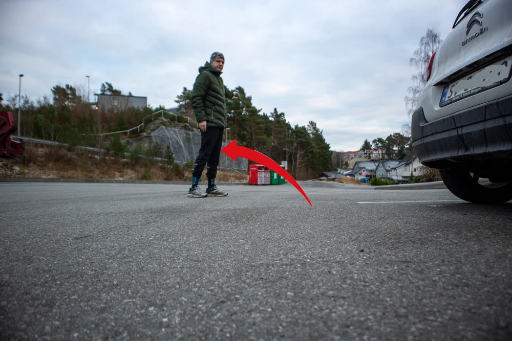
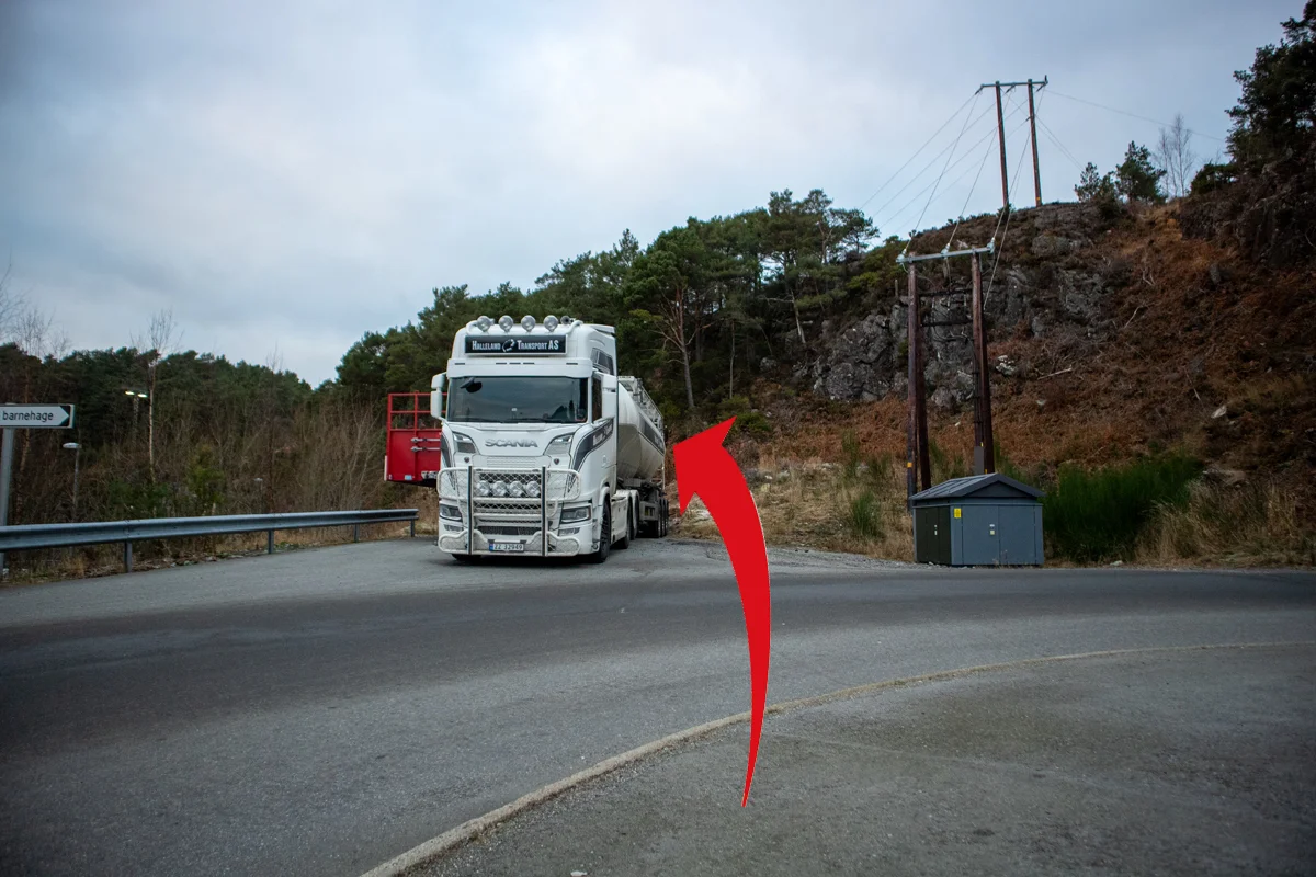
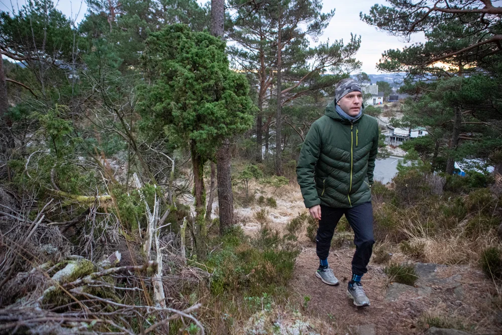
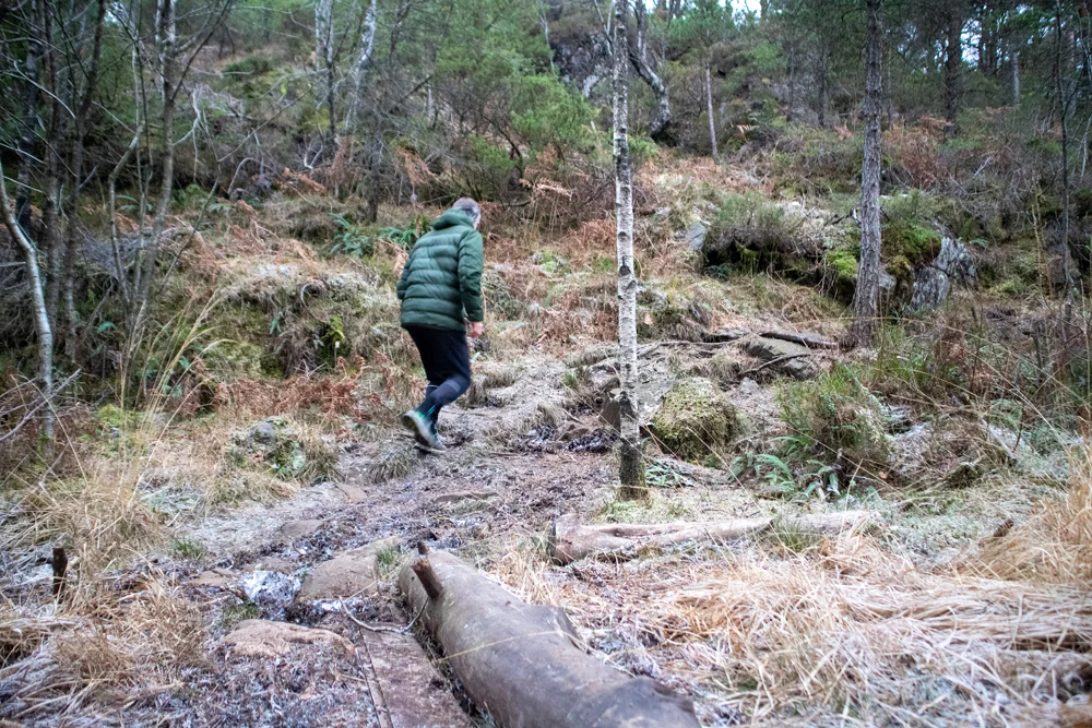
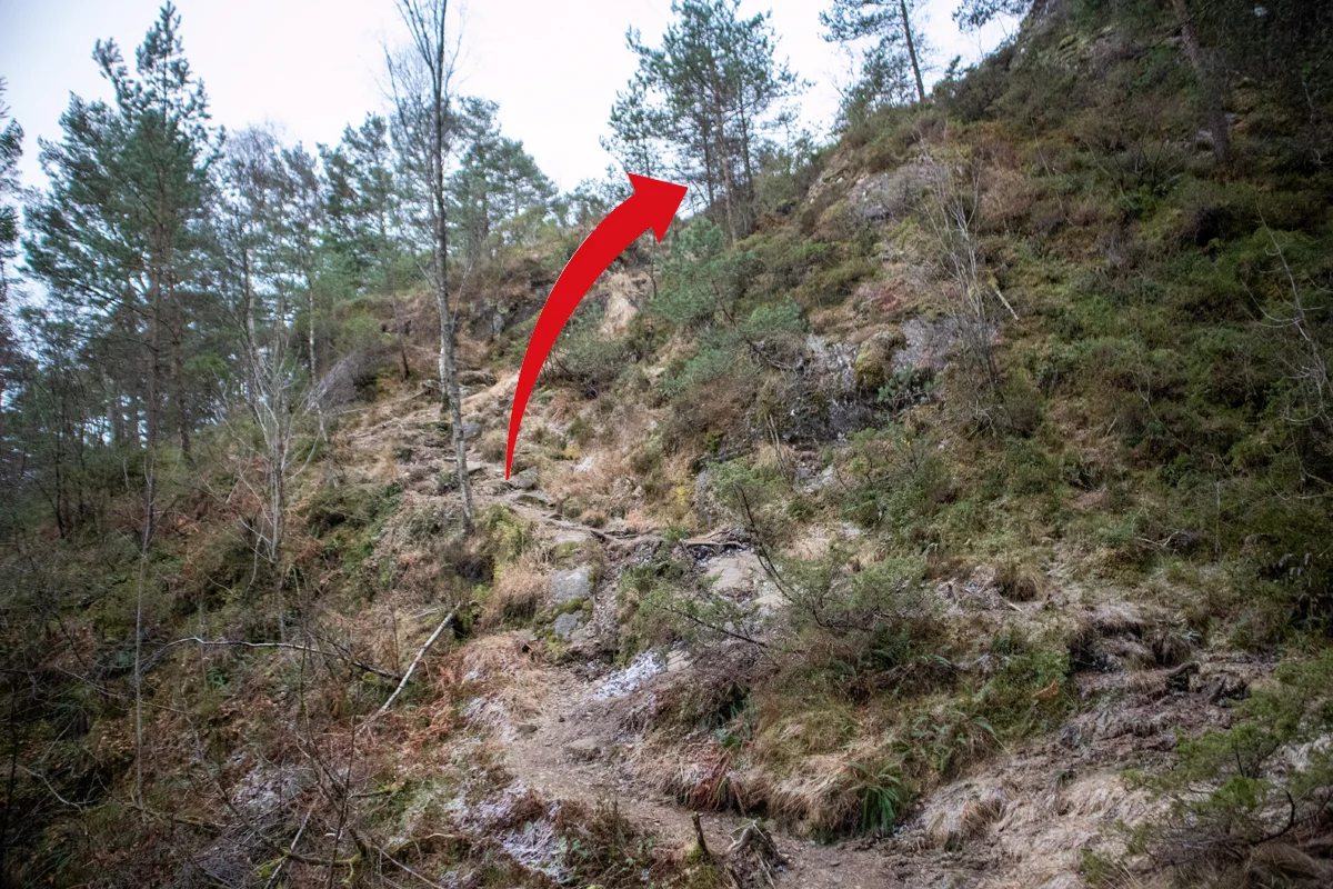
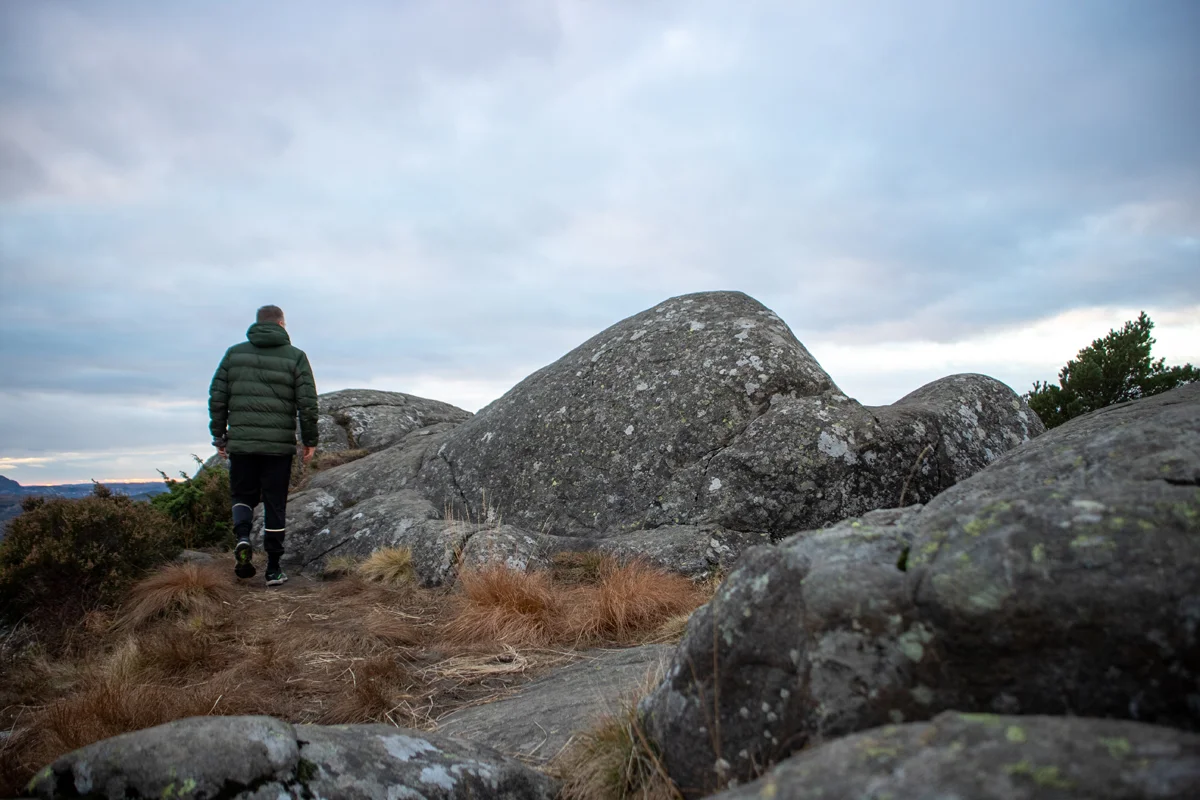
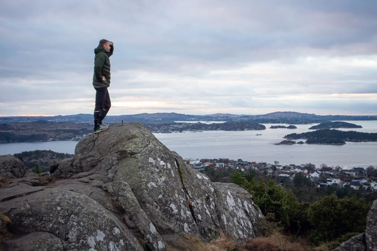
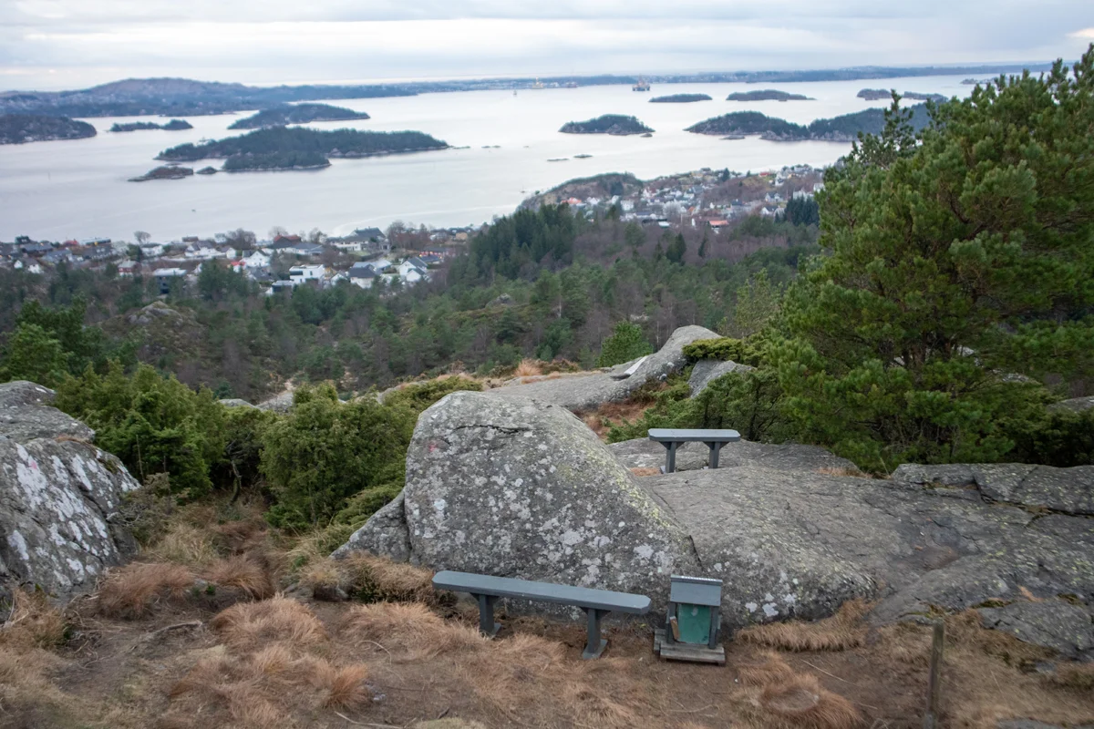
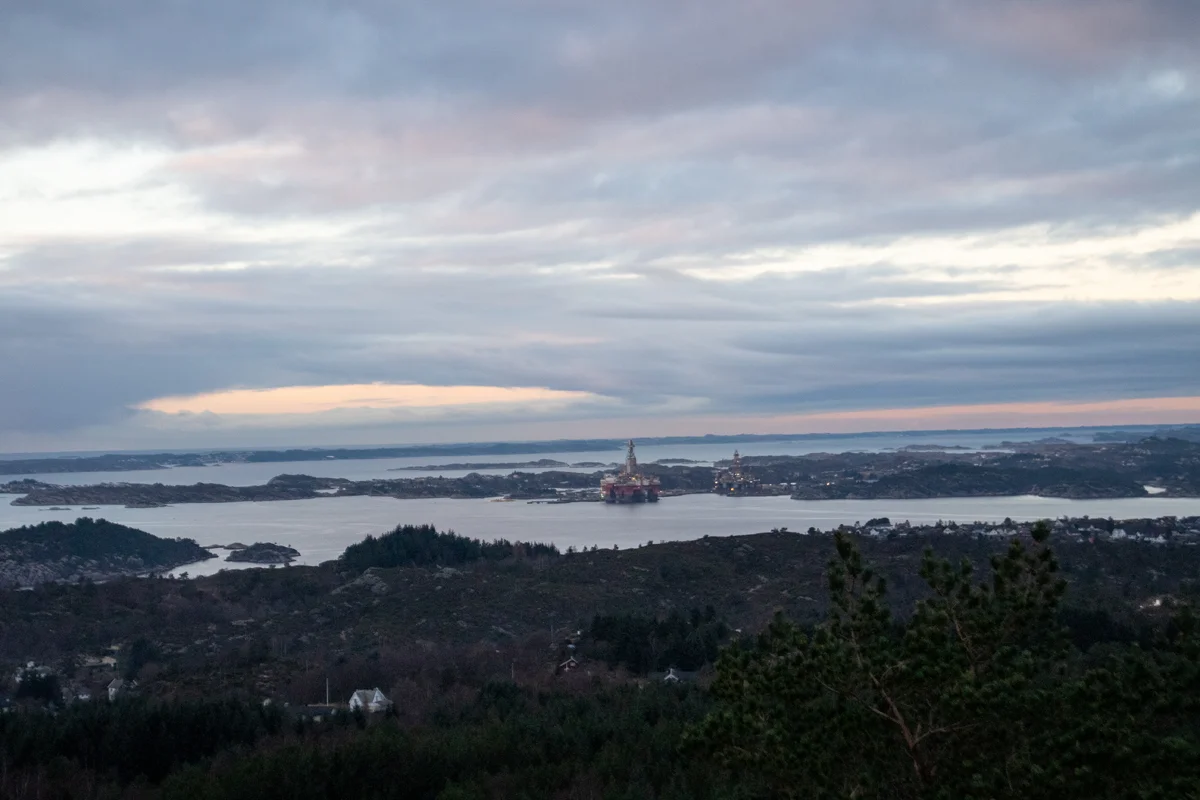
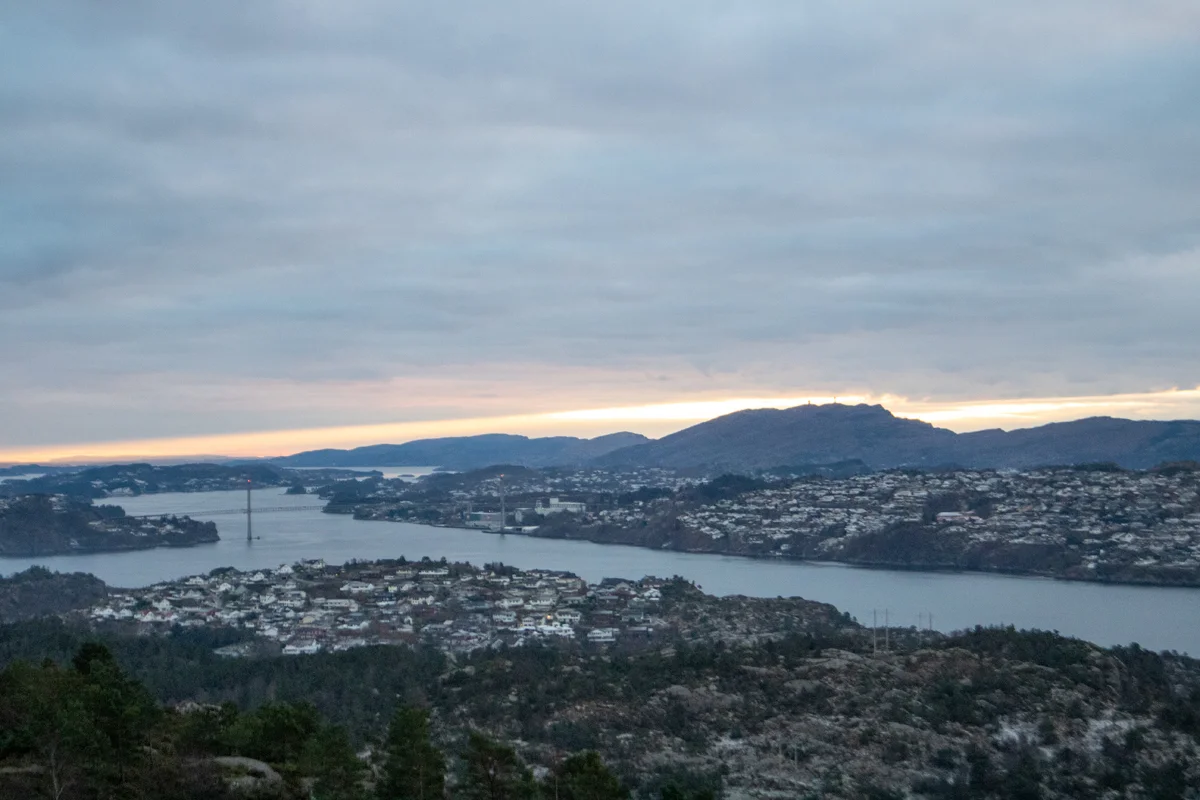
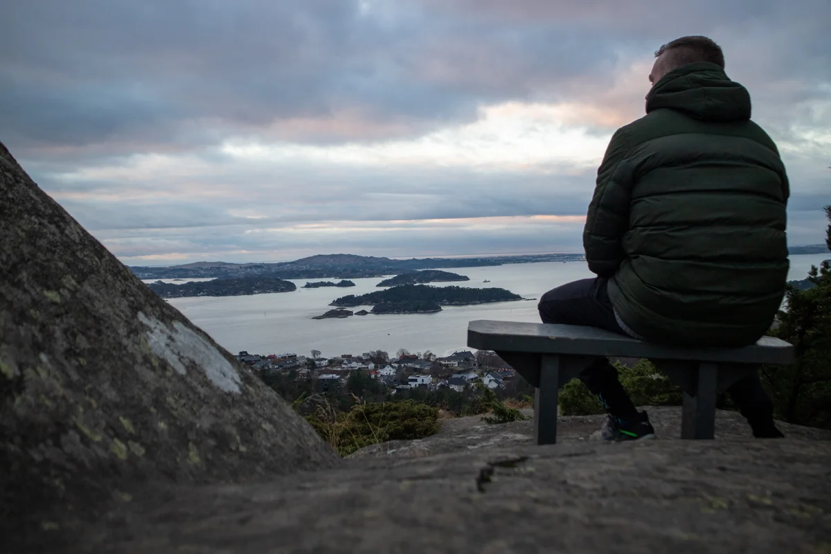
Folleseåsen (166 m) on Askøy

Folleseåsen (166 moh) på Askøy
Photo: Admin

The GPX Track is for guidance only and may contain errors. Use at your own risk.
– always check maps, weather and conditions before your trip.

Access

Approximately 17 min (15.2 km) drive from Bergen city center.

Parking

Free parking at Skogen sports center.

Description

Short hike on the southern part of Askøy to a peak with panoramic views of nearby places. From the parking lot, go towards the entrance and to the left up the hill (paved road). At the end where the big bend starts, go straight ahead onto the path. Follow the path up the hill. At the first crossroads, go left. At first it goes slightly downhill before going uphill. After a while, you come to an open area with a campfire site, a throwing bowl and a gapahu. Continue on the path at the end of the area that leads to the peak. There are some steep sections with easy scrambling.

At the top there is a view of Sotra, Askøybroen and Hanøytangen.

Return the same way or combine with a round trip through Follesemarka.

Have a good trip!  


Information

Length: Approximately 1.20 km round trip.
Time: Approximately 30 minutes round trip.
Elevation gain: 86 meters.
Season: All year round.
Grading: Simple

Processing elevation data.. .

You use GPX files that you download from our server 100% at your own risk.

Accommodation nearby

Hiking nearby