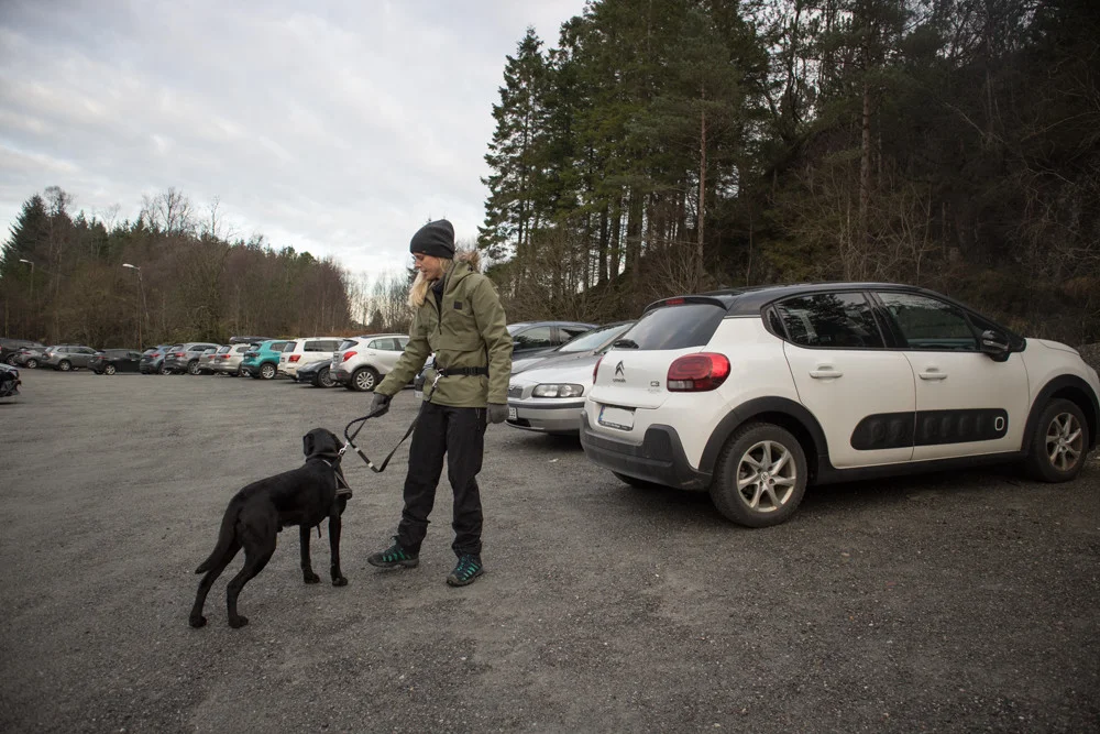
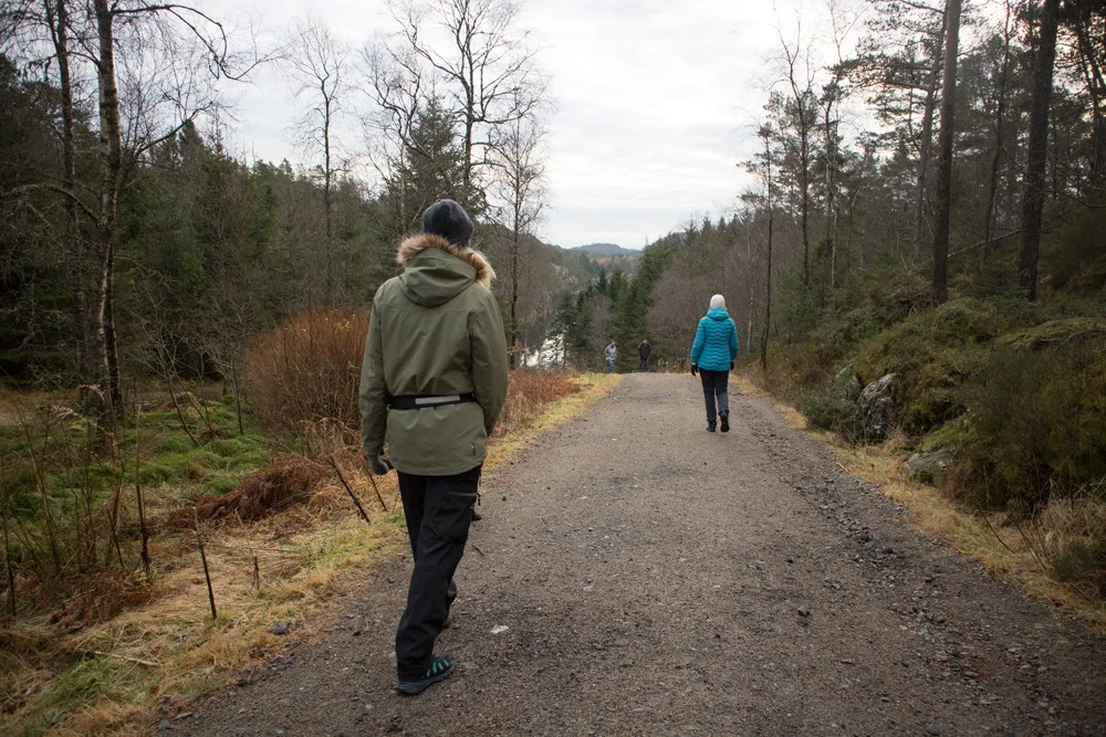
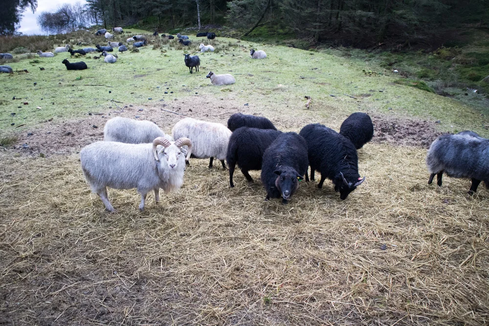
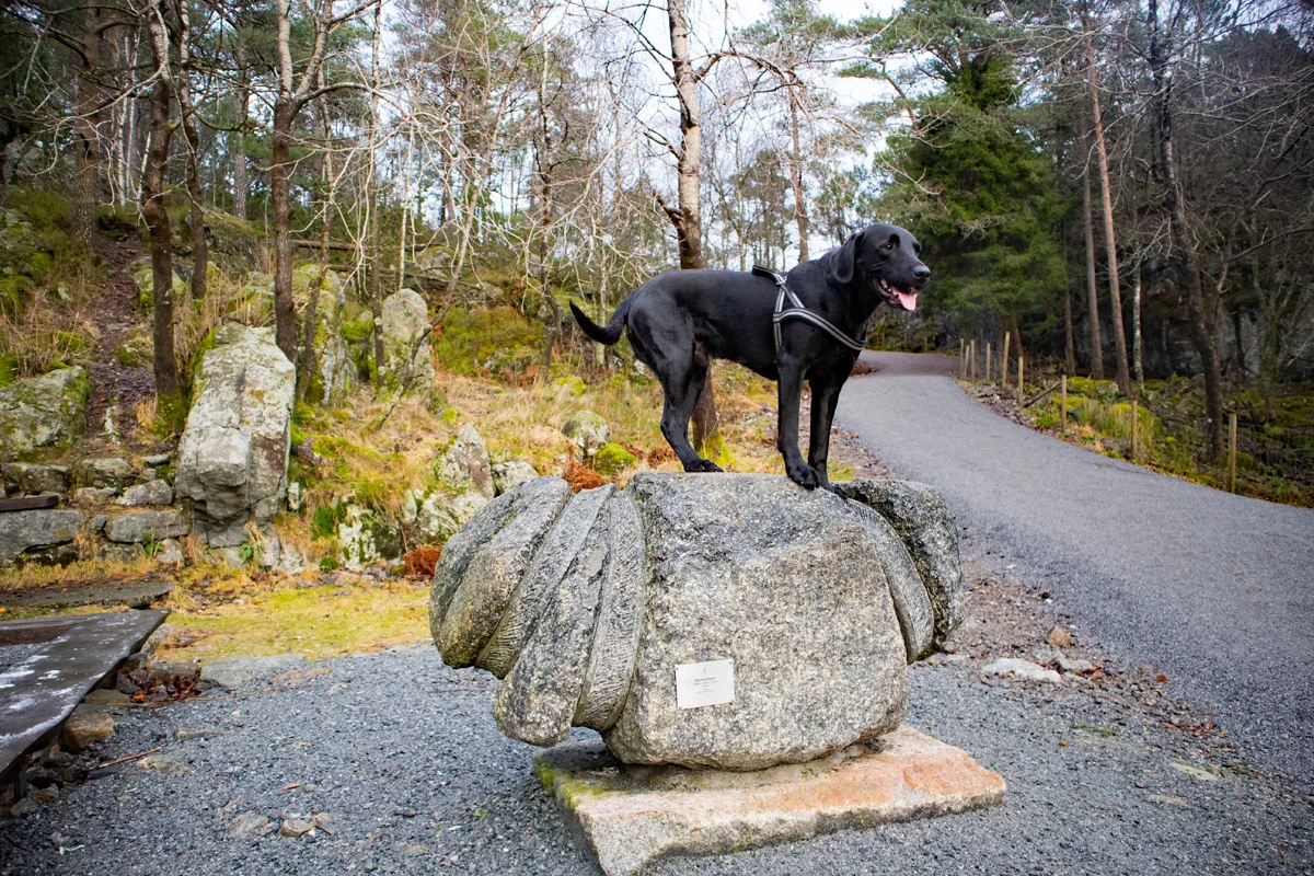
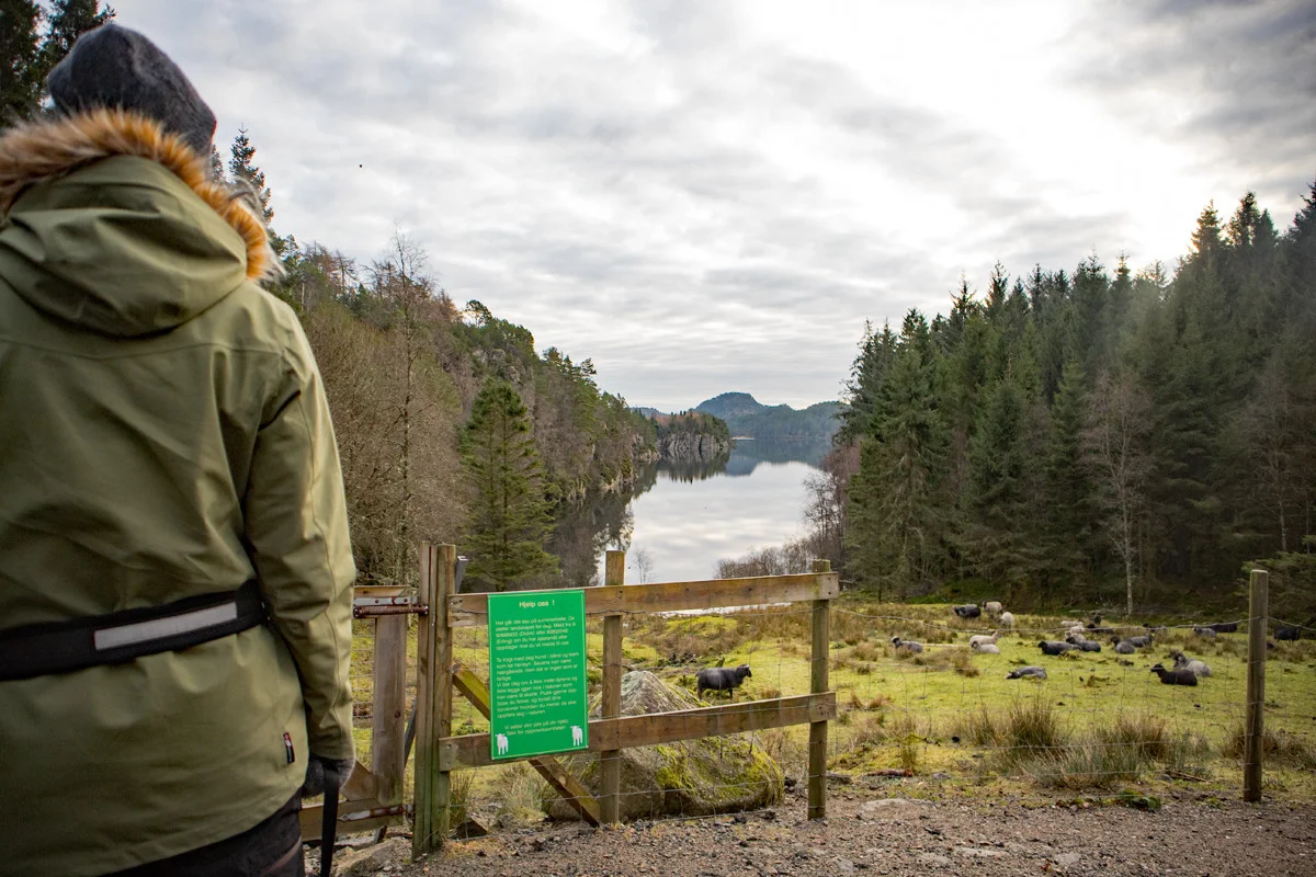
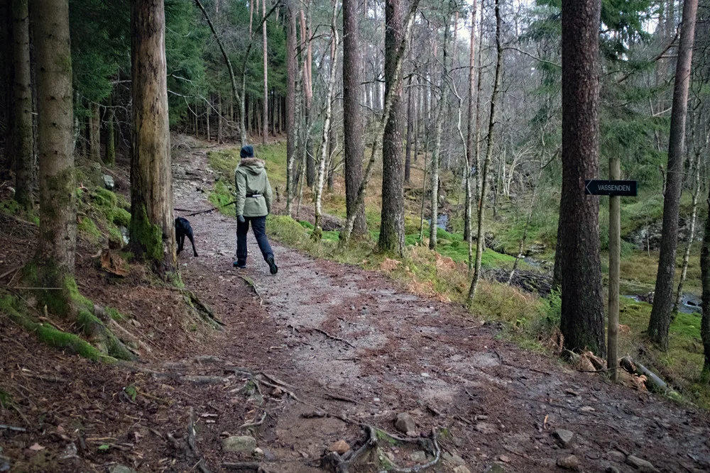
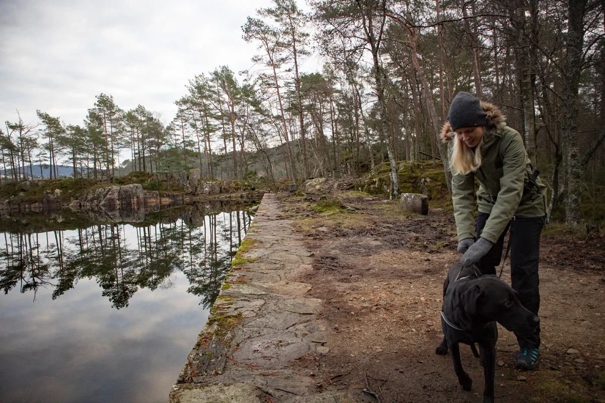
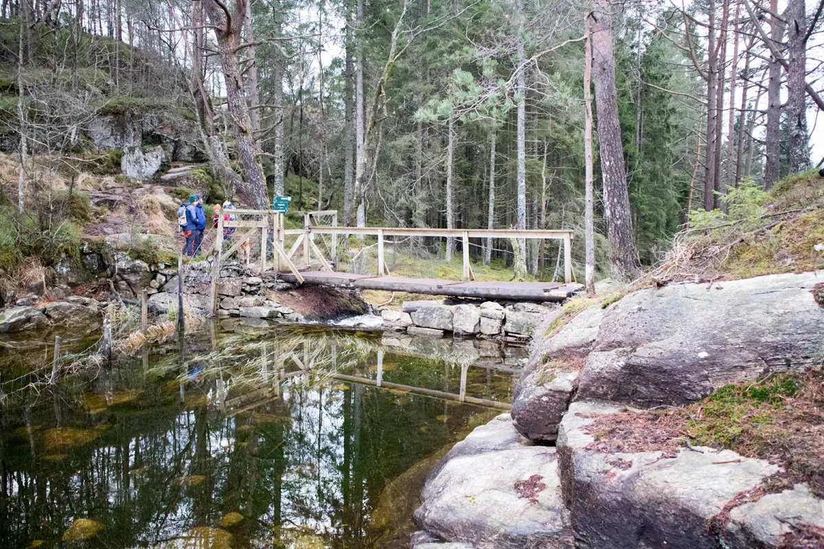
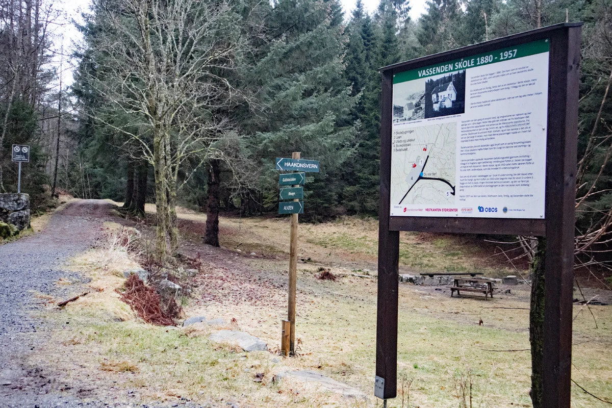
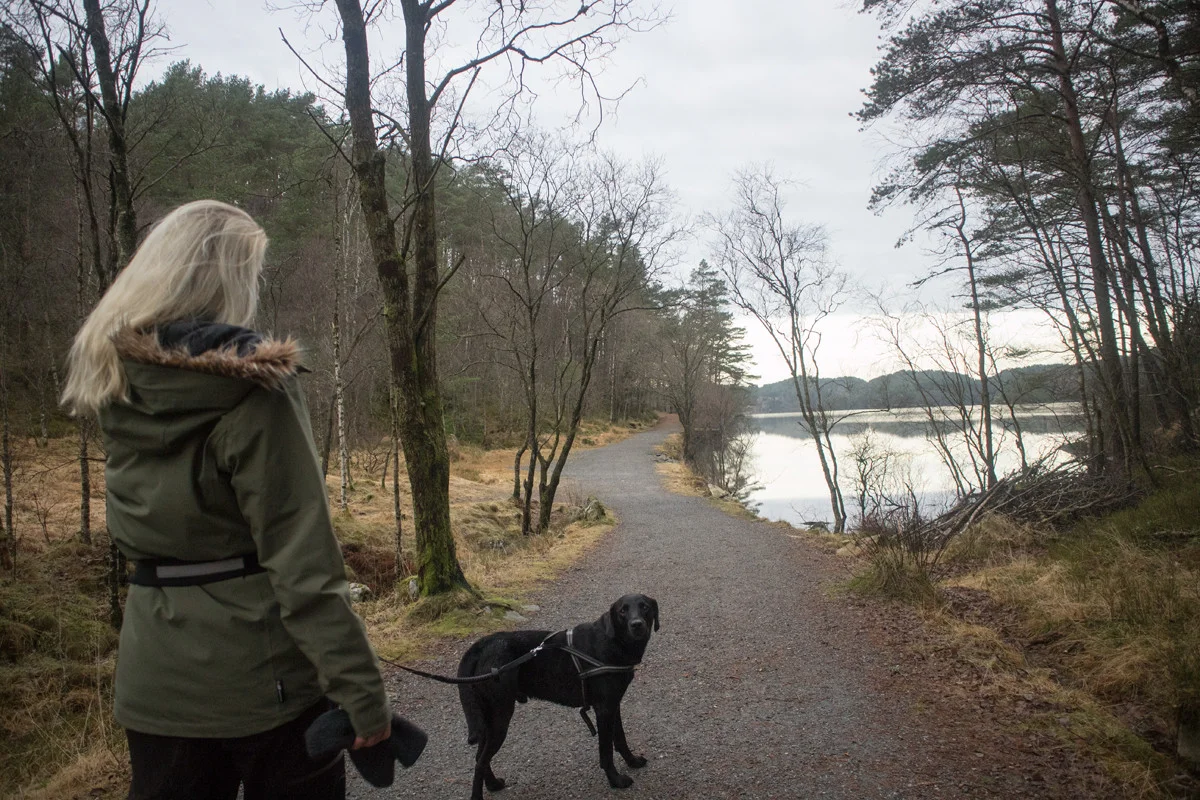
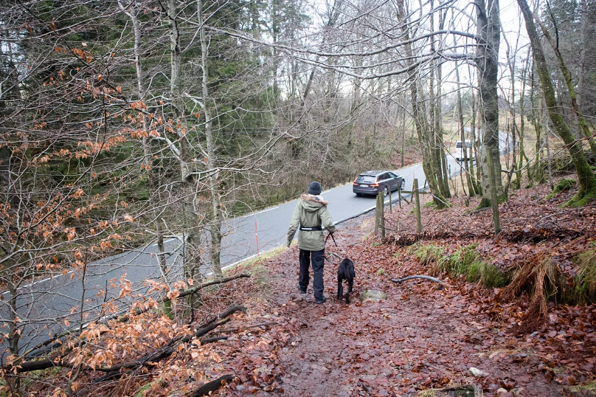
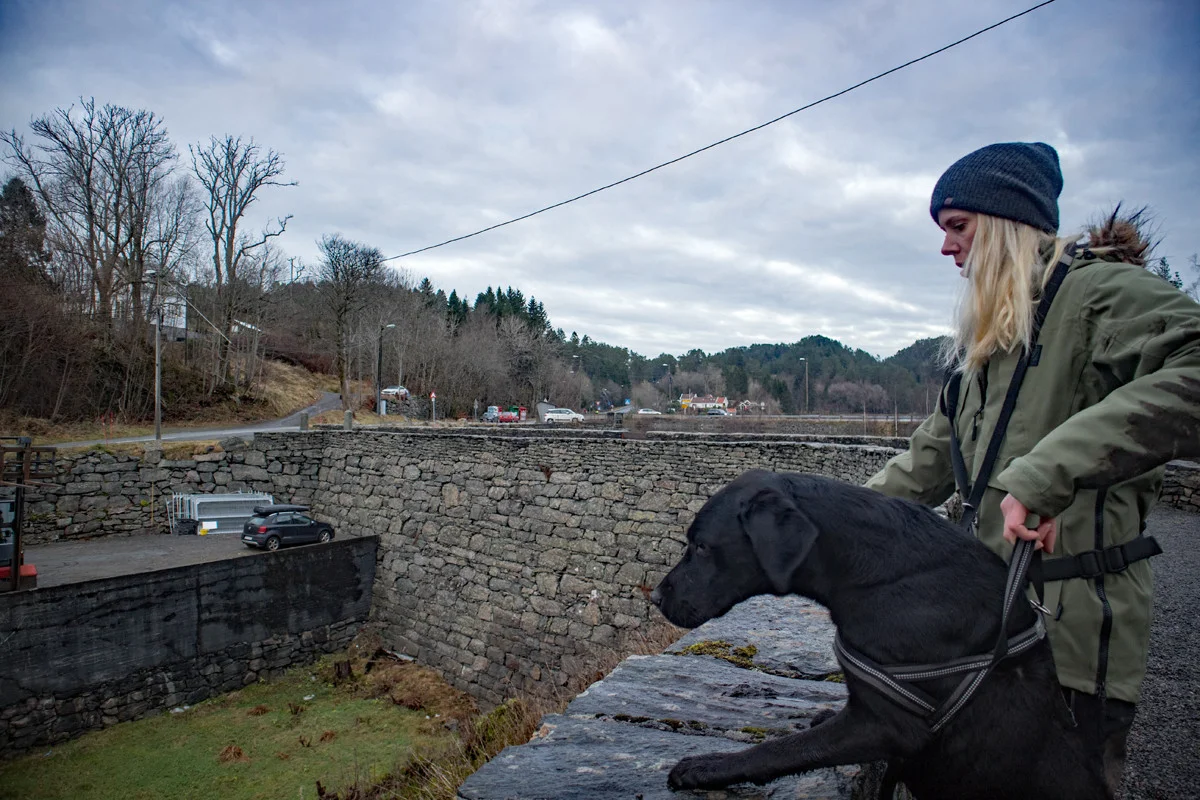
Hike in the Alvøskogen around Småvatnet
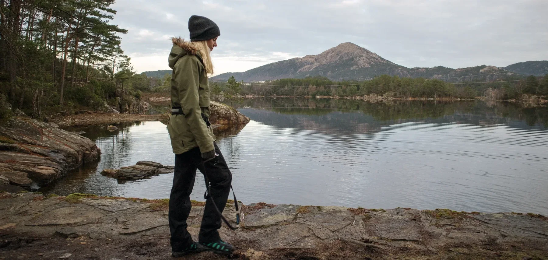
Photo: Admin


Processing elevation data.. .
You use GPX files that you download from our server 100% at your own risk.
Accommodation nearby


Hiking nearby


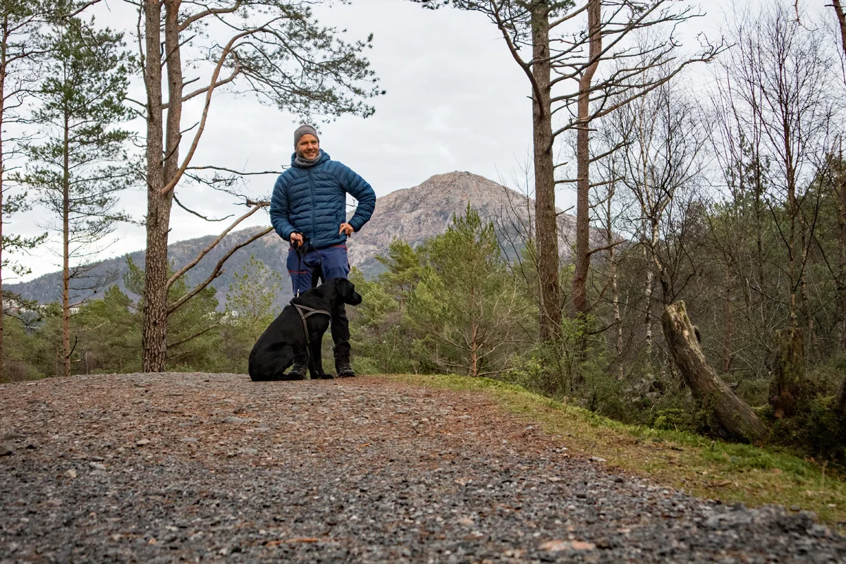
Mountain hike to Knappenfjellet (135 m above sea level) from Knappentjørna - Bergen, Vestland
Premium
Distance
4.28 Km


Hot
Distance
6.08 Km

