4-mountain hike in Rollandsfjellet
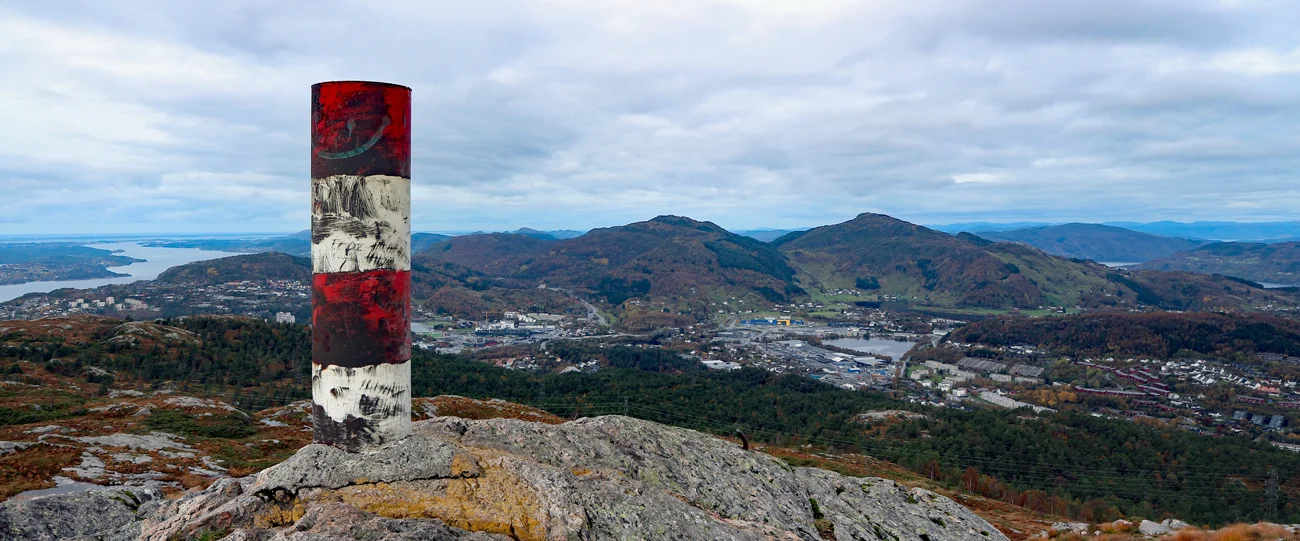
Photo: Admin
Information
Raunfjellet (388 m.),
Storsåta (434 m. above sea level),
Nukana (373 m.a.s.l.),
Slettafjellet (311 m).
Length round trip approx. 8.9 km
Time: 3-4 hours round trip.
Season: All year round. Winter.
Storsåta (434 m. above sea level),
Nukana (373 m.a.s.l.),
Slettafjellet (311 m).
Length round trip approx. 8.9 km
Time: 3-4 hours round trip.
Season: All year round. Winter.

Processing elevation data.. .
You use GPX files that you download from our server 100% at your own risk.
Accommodation nearby


Hiking nearby


Distance
2.41 Km


Distance
2.69 Km

Mountain hike to Emanuel Mohn's view (480 m above sea level) from Eidsvåg - Bergen, Vestland
Premium
Distance
2.91 Km


Distance
3.49 Km


