
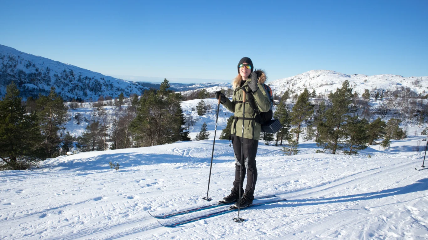
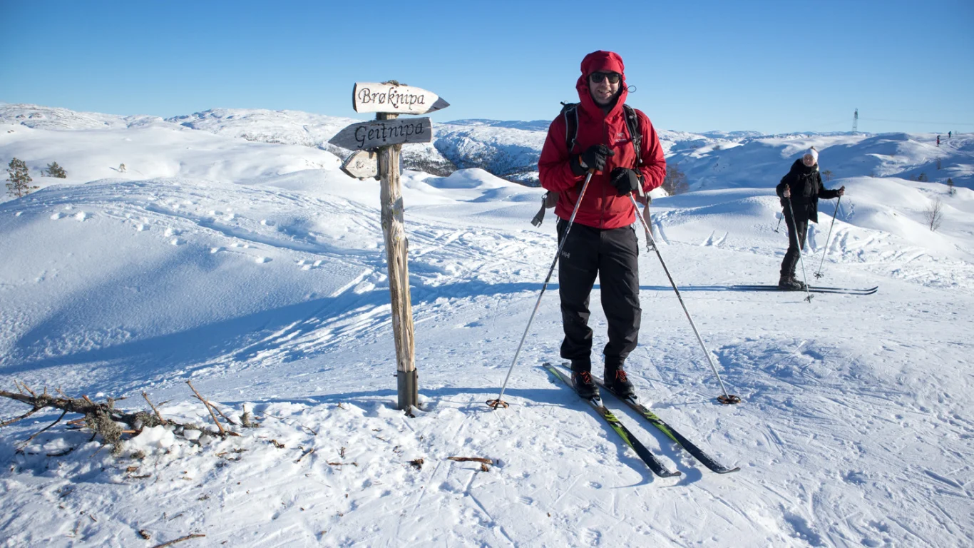
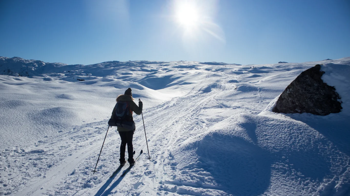
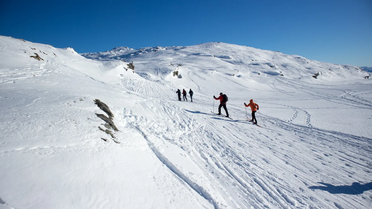
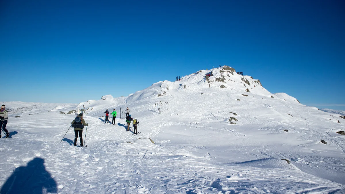
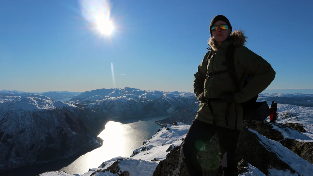
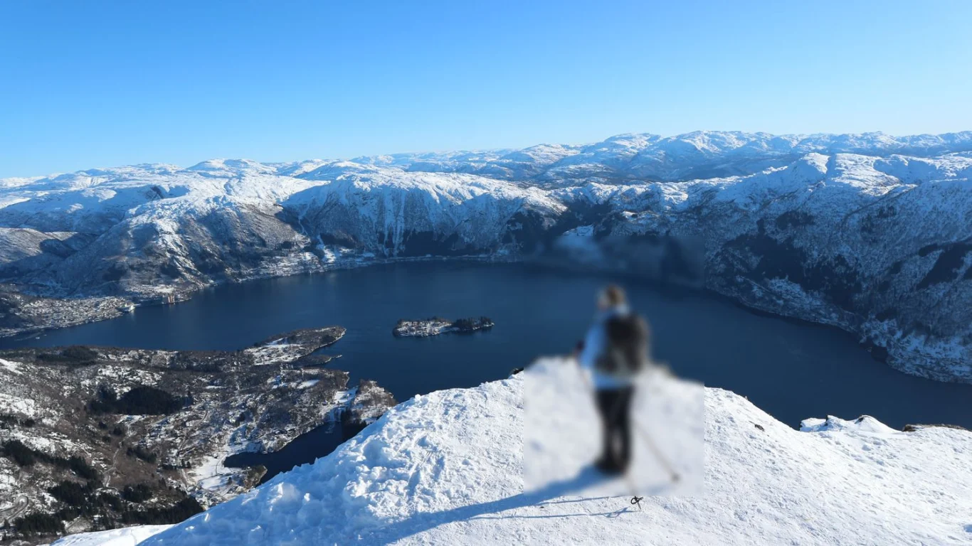
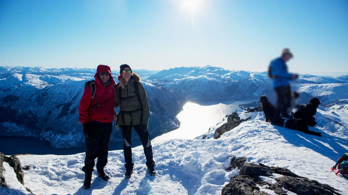
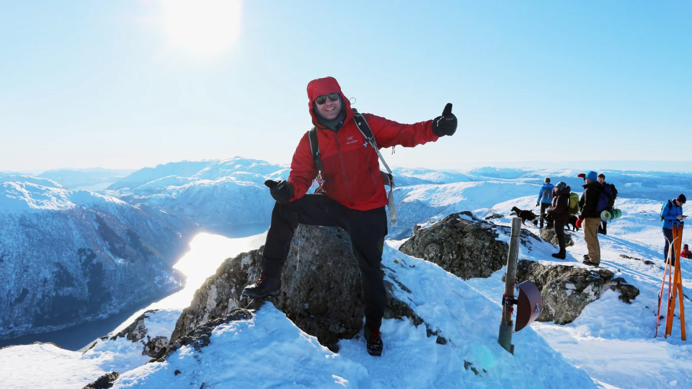
Ski trip Bruviknipa (822 m) from Njåstad
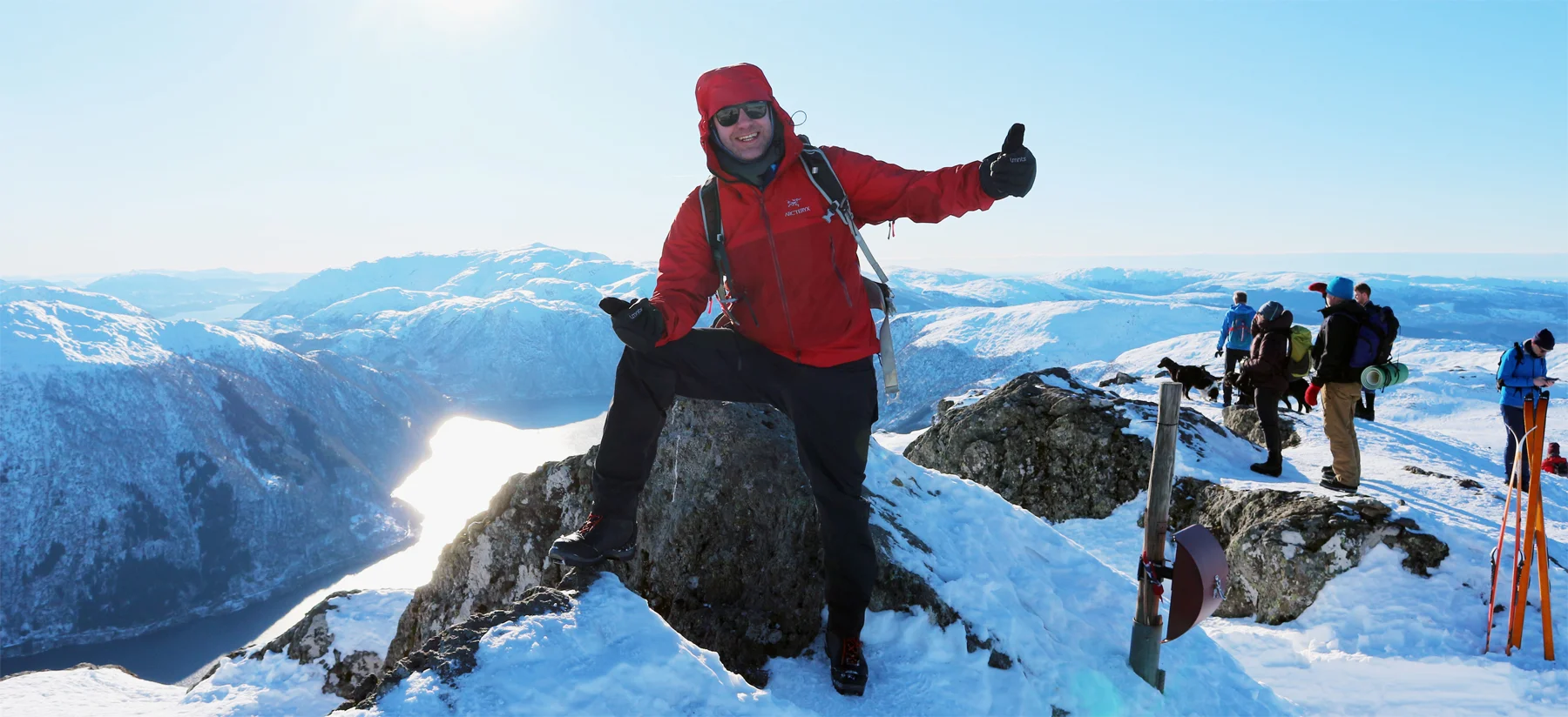
Skitur Bruviknipa (822 moh) fra Njåstad
Photo: Admin

The GPX Track is for guidance only and may contain errors. Use at your own risk.
– always check maps, weather and conditions before your trip.

Access

From Bergen city center, drive to Arna and continue through the Arnanipa tunnel. Drive over the Osterøy bridge towards Lonevåg. In the traffic after the tunnel, drive right through Lonevåg city center. Then drive left at the sign for Hatland. Follow the road and turn right at the sign for 'Njåstad'. Follow the road uphill. There are many bends here, so drive carefully. Follow the road until you see the hiking park on the right.

Parking

There are two large parking lots here. Parking costs money. Price NOK 30,- per day. Payment with Vipps no. 92831. You can also pay in cash.

Description

This is the new popular ski trip on Osterøy! Strap on your skis at the end of the parking lot and follow Njåstadvegen into Langedalen.

There is a steady climb up towards the cabin yard where it then levels out. The hike continues in slightly hilly terrain with a slight climb and some descents. After a while, the trail to the top is marked. Down to Borgasætra there is a slight descent before a moderately steep ascent to Flatafjellet.

Up on Flatafjellet there is a nice view towards Bruviknipa. Follow the branching south and then south-east. The last part up towards Bruviknipa is steep again. Just before the top it might be a good idea to take off your skis.

At the top there is a spectacular view of the Sørfjord and you can see peaks such as Hananipa and Gullfjellet from completely new angles.

Recommend returning the same way.
I recommend mountain skis with steel edges for this trip. Half-skis may also be a good idea. I would not recommend the trip for randonee since there are many long flat sections. In that case I would rather go from Båtaleitet.

Enjoy!

Information

Length round trip: approximately 15 km.
Round time: approximately 4-6 hours.
Season: Winter
Recommend mountain skiing
Grading: Demanding

Processing elevation data.. .

You use GPX files that you download from our server 100% at your own risk.

Accommodation nearby

Hiking nearby