The GPX Track is for guidance only and may contain errors. Use at your own risk.
– always check maps, weather and conditions before your trip.
Access
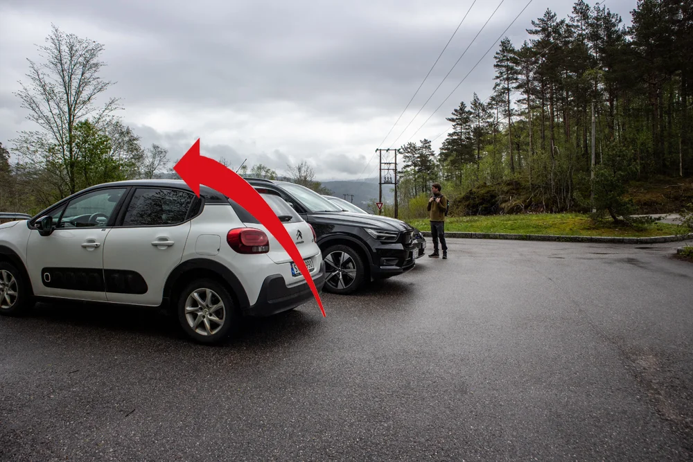
Parking
Description
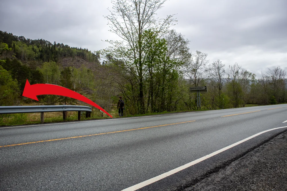
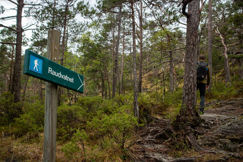
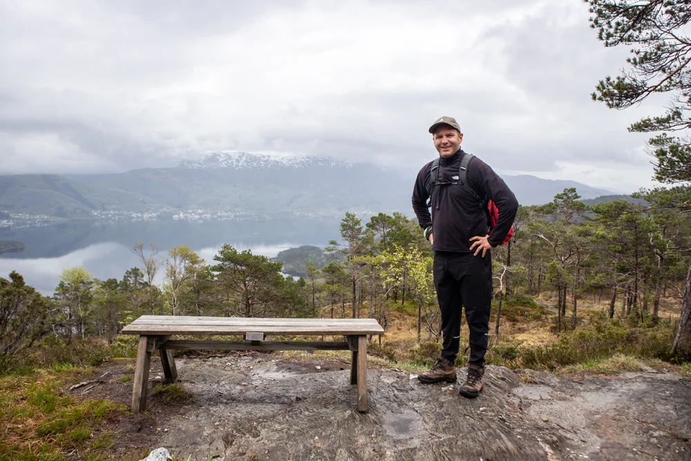
From Bir Meetings you have to cross the main road. Be careful because the cars are coming at high speed. On the other side of the road there is a sign marked 'Raudvatnet'. This is where we will go first. Follow the tractor road that winds up over the ridge. At the crossroads you should follow the signs to the left, and soon after the walk turns onto a path. You will notice that there are many signs with 'Raudvatnet' along the entire route. Follow the path past the viewpoint with the bench and further past 2 cabins. Cross the wooden bridge over the stream and follow the path that leads up along the stream. It is approx. 3.5 km. from the start up to Raudvatnet.
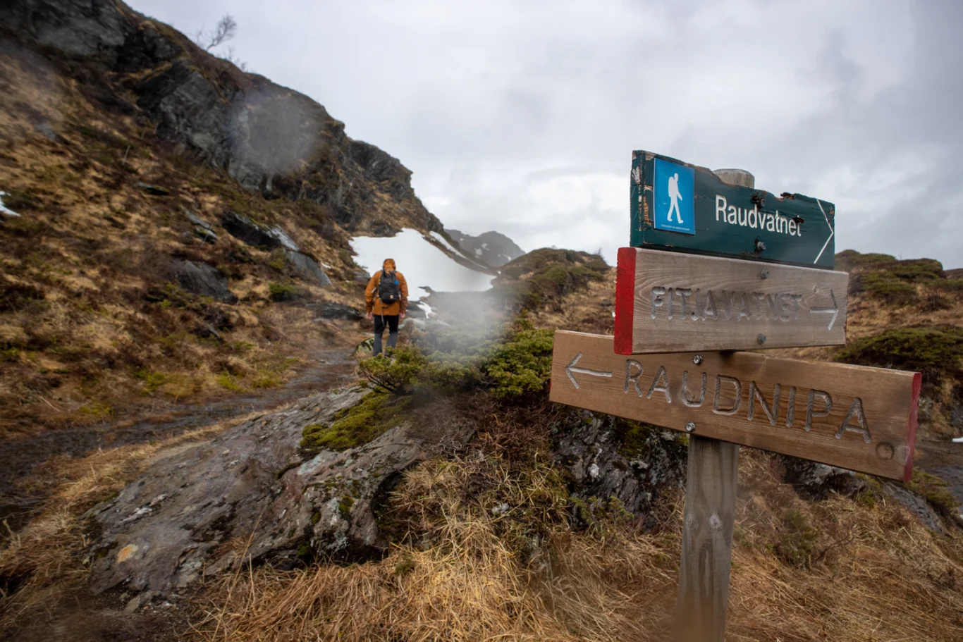
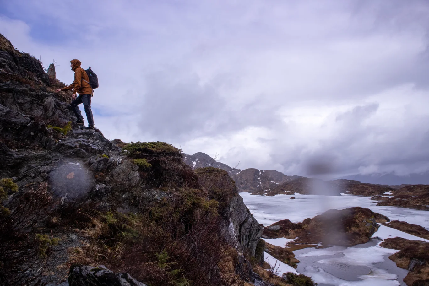
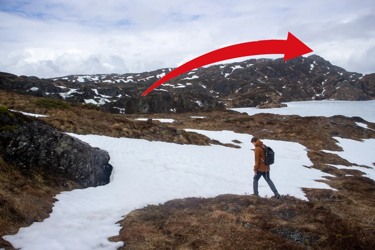
Just before the water you will come to a crossroads with a sign marked 'Raudnipa'. Here you should follow the path to the left around Raudvatnet. From here the path becomes more unclear but it is well marked with red marked cairns. Walk north on the left side of the water. At the end of the water you will see a New sign marked 'Raudnipa'. Now a somewhat steep ascent to the top of the mountain begins. Follow the marked path all the way to the top. Watch out for slippery sections as there is a lot of water flowing along the path.
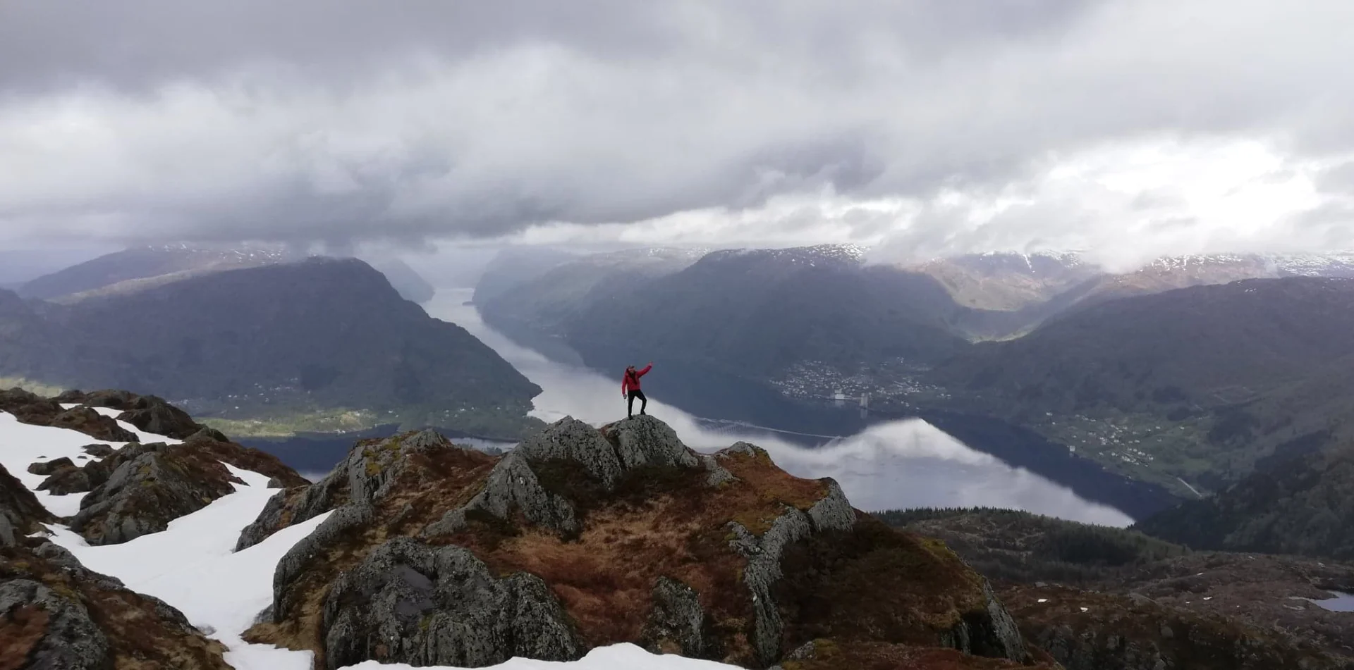
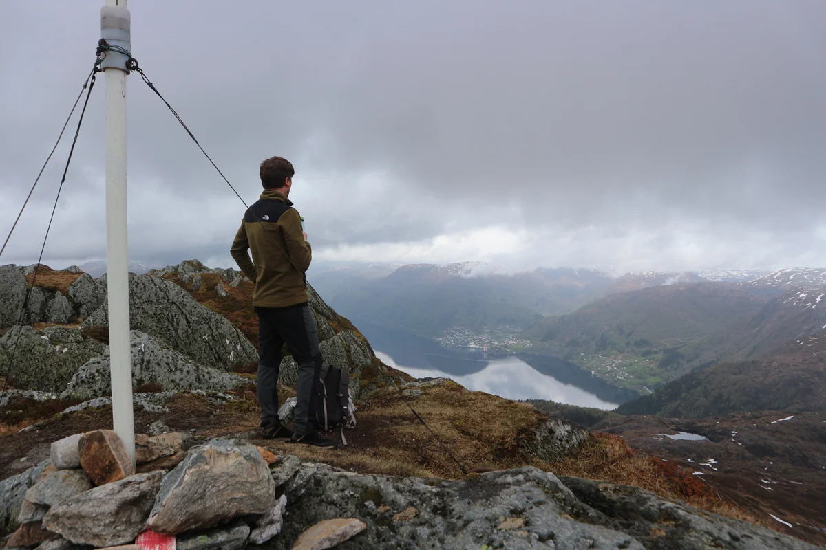
There is no traditional cairn or book at the top. Only an old marking device. The view down towards Vaksdal and Sørfjorden is great. If you follow the ridge about 100 meters further north you get an even better view.
Return the same way, but feel free to take the walk around Raudvatnet, which is a nice ending. The path around is well marked.
Have a good trip!
Information
Time: 4-5 hours round trip.
Season: All year round. Skiing in winter.