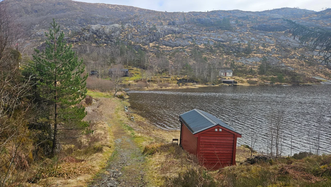
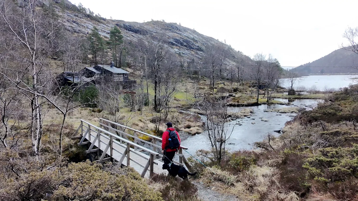
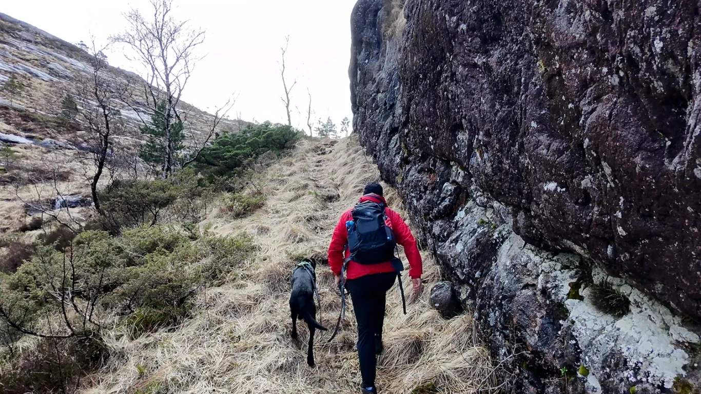
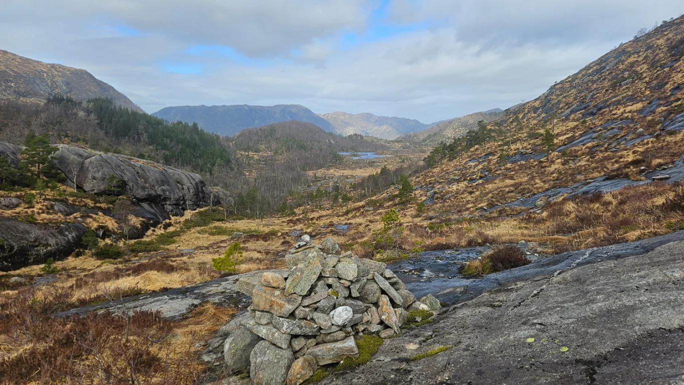
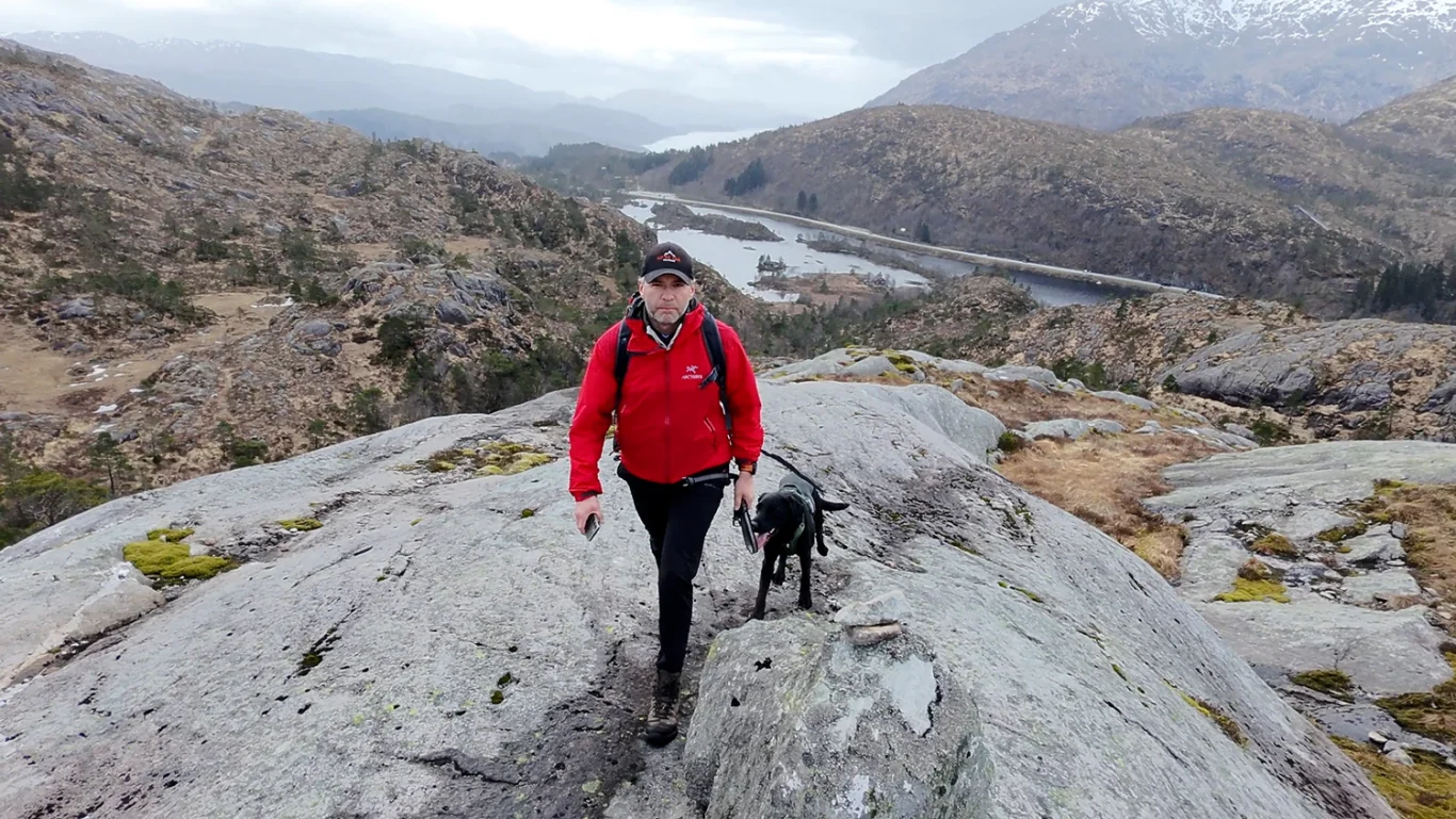
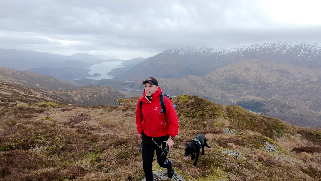
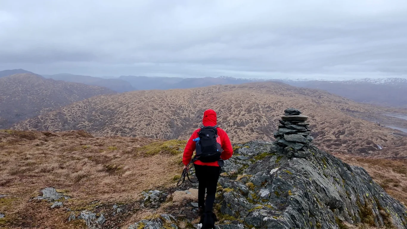
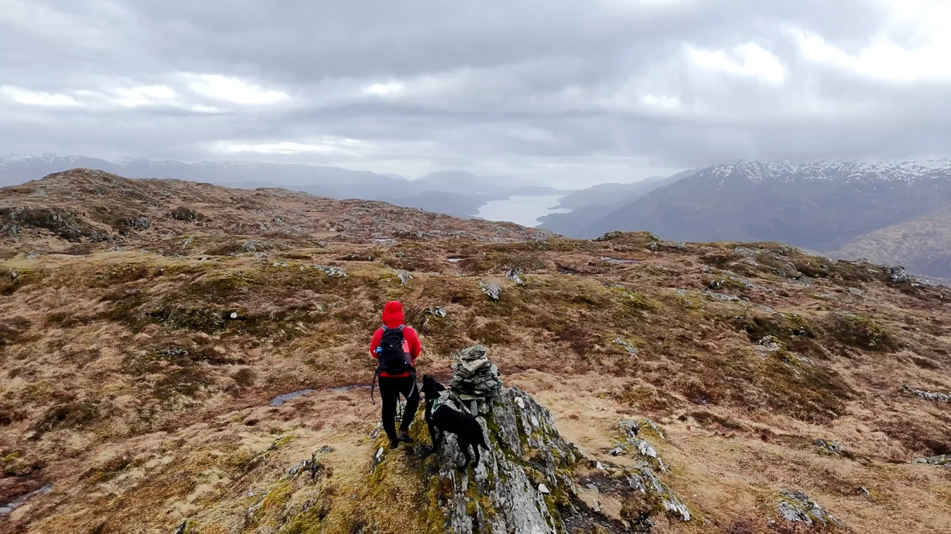
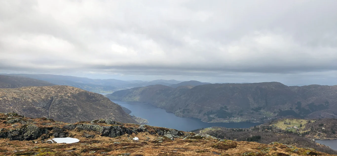
Mountain hike to Krånipa (707 m) from Gullbotn
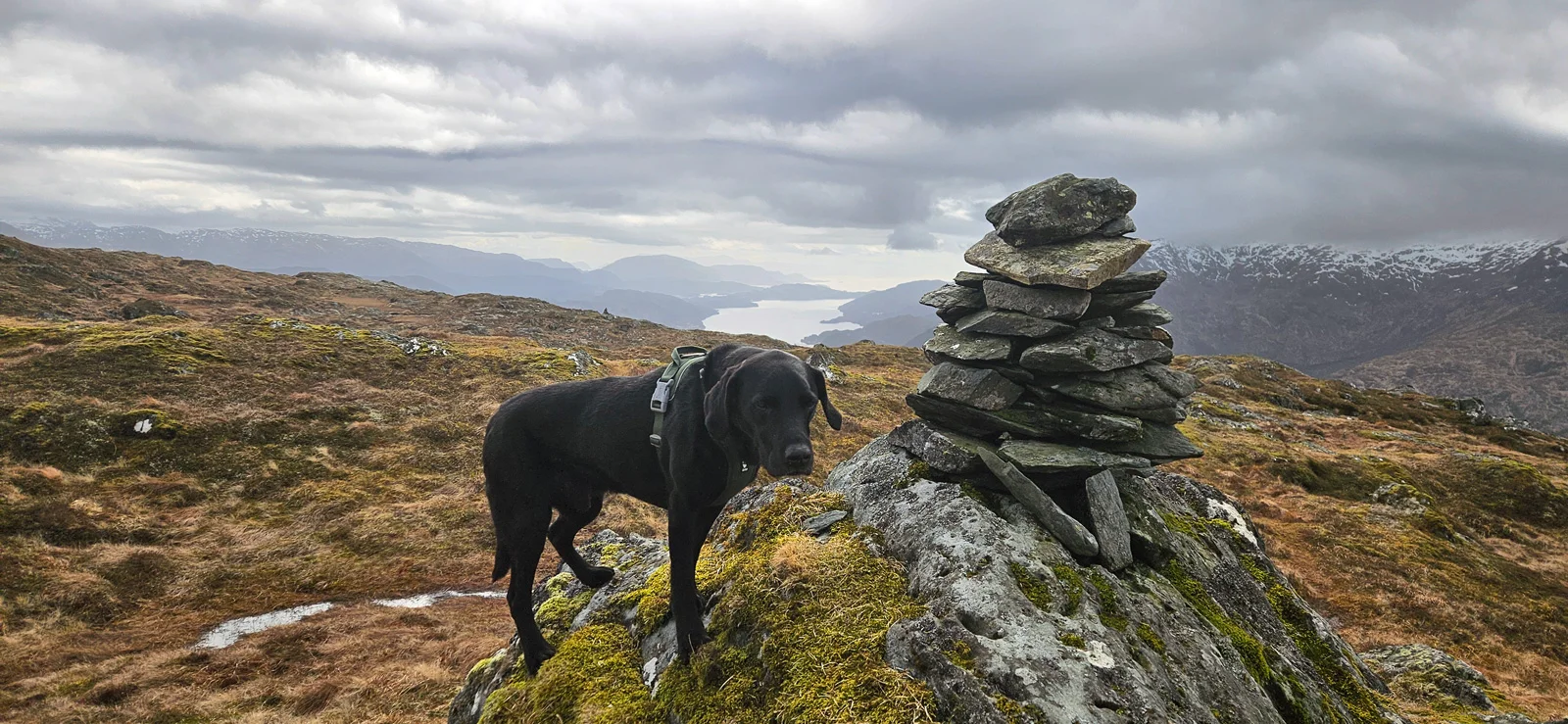
The GPX Track is for guidance only and may contain errors. Use at your own risk.
– always check maps, weather and conditions before your trip.
Access
Parking
Description
The tour starts at the parking lot in Gullbotn. You must park on the opposite side of the road from the ski resort.
From the parking lot, follow the path along the guardrail to the main road for about 150 meters. There, a road goes down towards the cabins on the north side of Øyjordvatnet.
At the mouth of the river that flows into the water, cross a bridge and continue north through the cabin yard. Go past the last cabin, and follow the path that curves around the back and further up into the ravine behind the water. Here the path runs along a rock wall for a while. Shortly after, you will see a cairn on your left - turn off at this and follow the path that leads up to the first plateau, called 'Skåpet'.
After Skåpet, it goes down a bit before a new climb begins. Here you follow the ridge up towards Krånipa. The last stretch goes through open mountain landscape with heather and bracken. The path is not very clear and consists mostly of deer tracks. Keep heading northeast. As you approach the top, the terrain flattens out and the cairn becomes visible from a good Distance .
You can return the same way, or extend the trip to a round trip over Krånipa, Raudnipa and Hananipa.