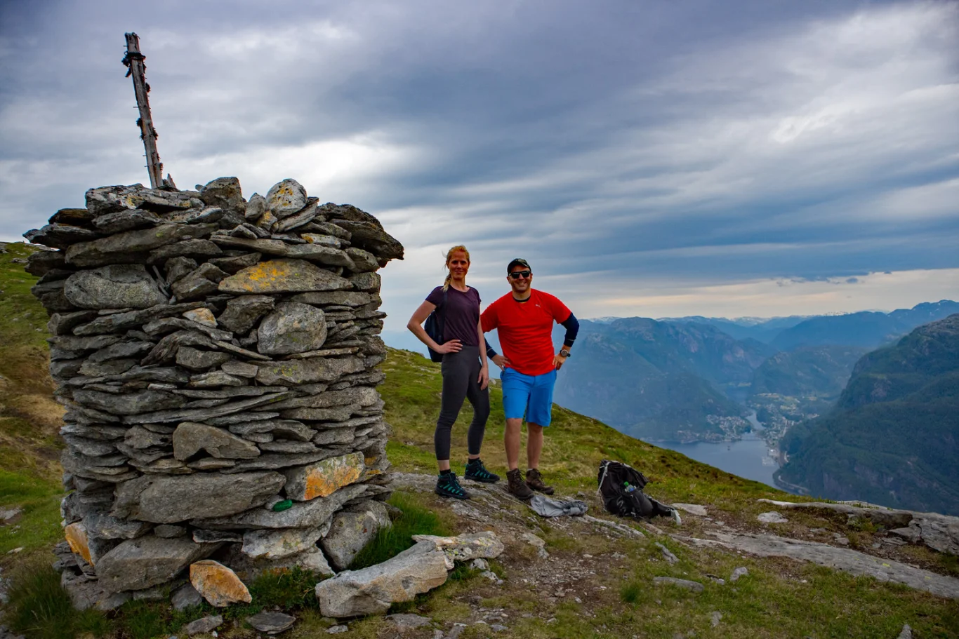
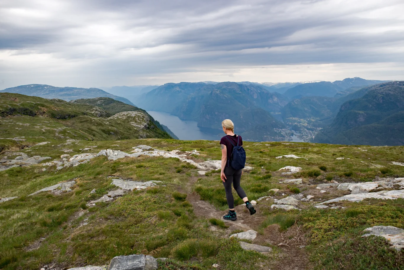
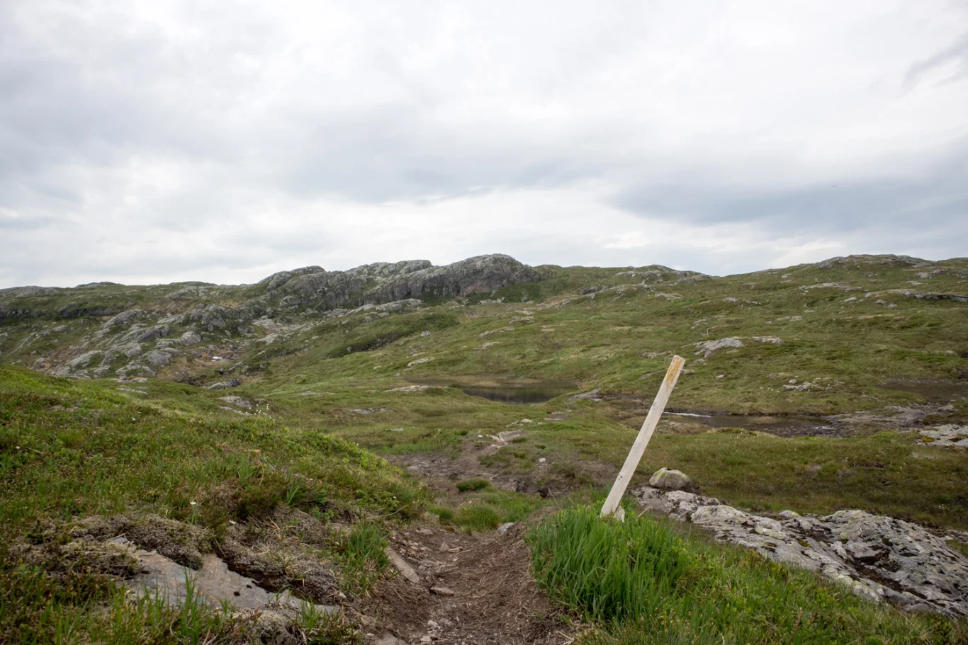
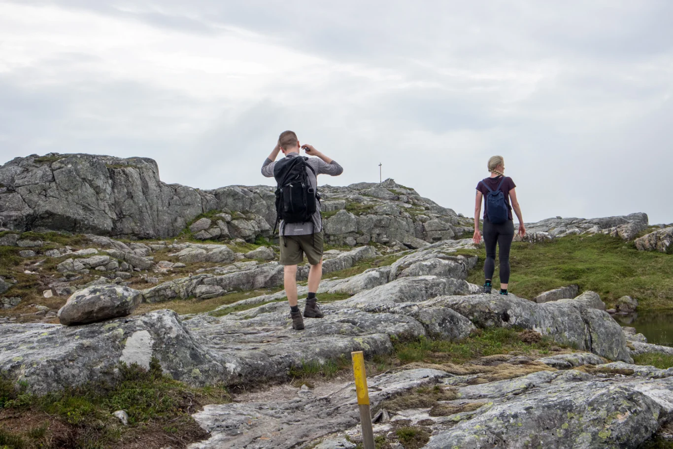
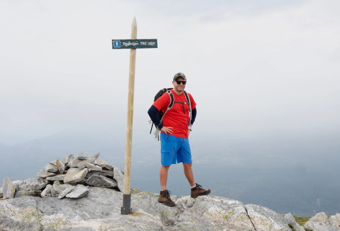
Rispingen (742 m above sea level) via Olsnessåta on Osteroy
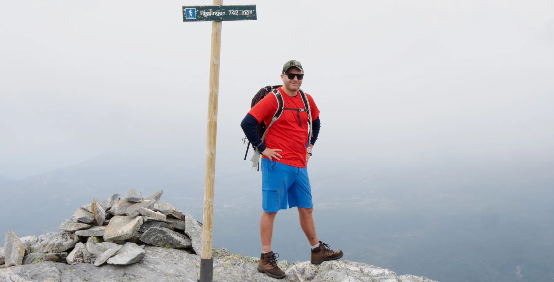
Photo: Admin

Processing elevation data.. .
You use GPX files that you download from our server 100% at your own risk.
Accommodation nearby


Hiking nearby


Distance
5.04 Km


Distance
5.55 Km


Hot
Distance
5.78 Km


Distance
7.8 Km
