The GPX Track is for guidance only and may contain errors. Use at your own risk.
– always check maps, weather and conditions before your trip.
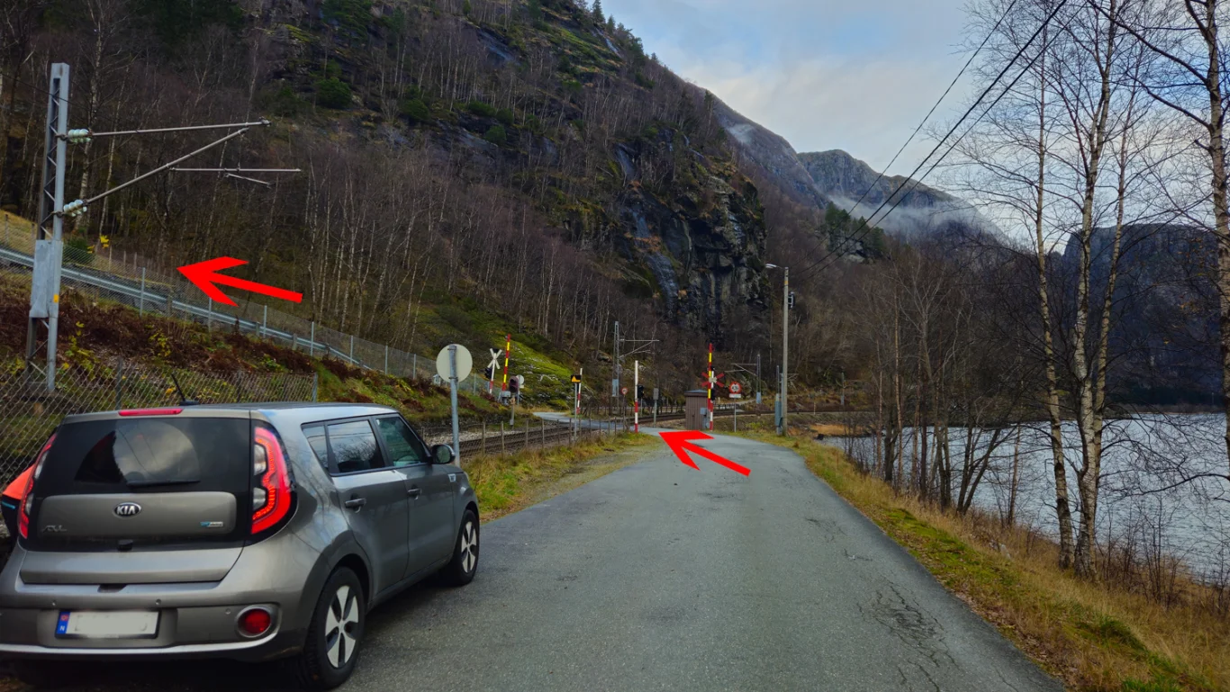
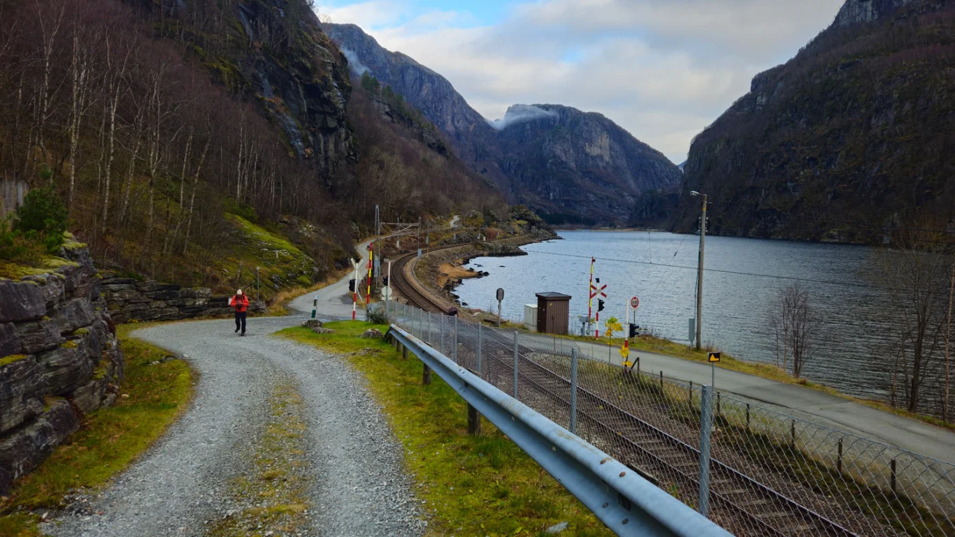
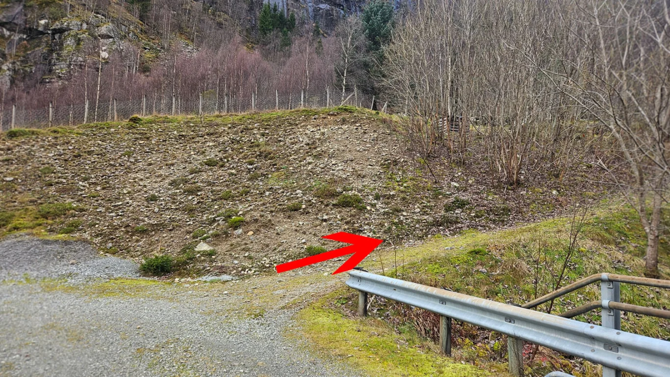
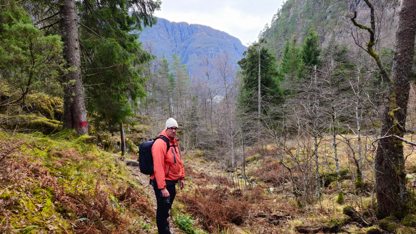
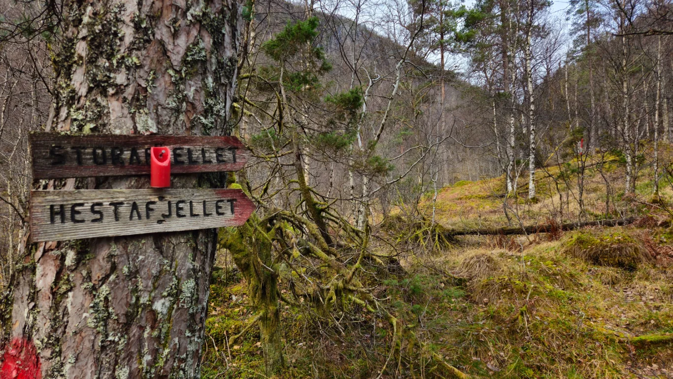
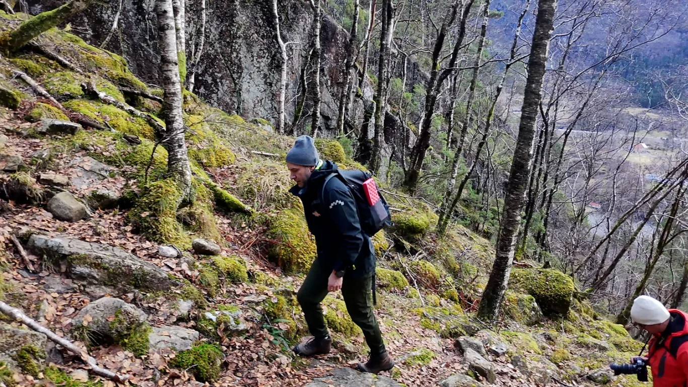
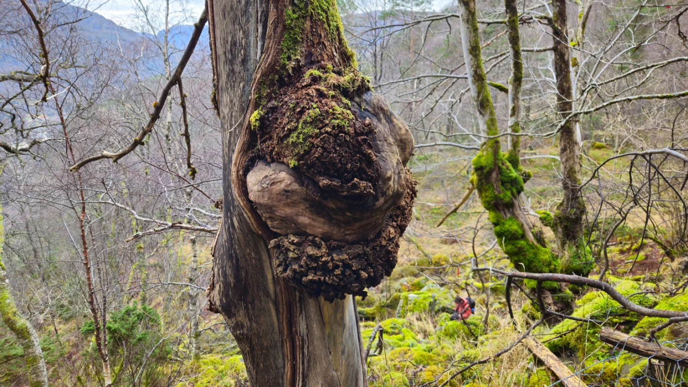
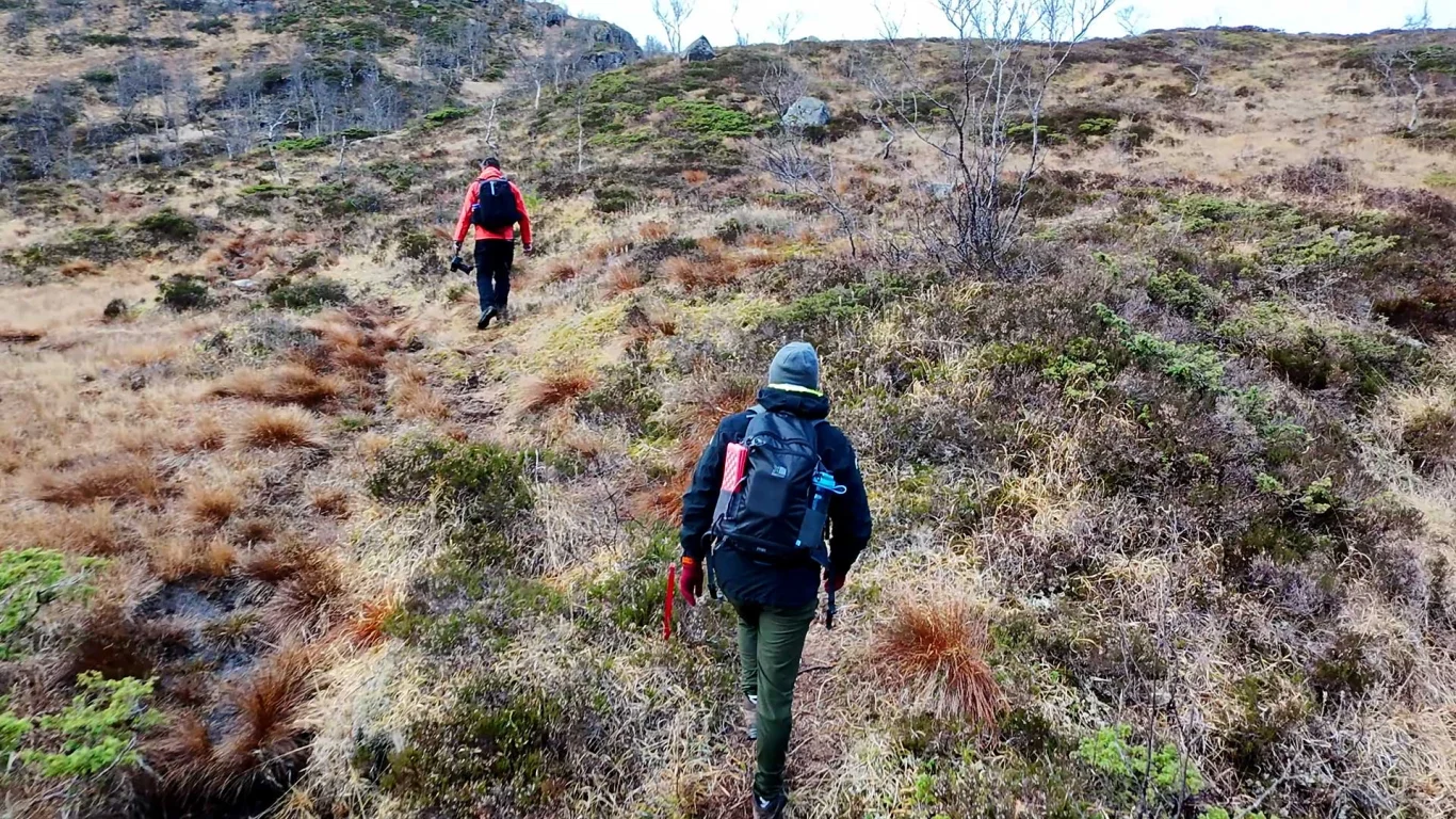
Cross the railway crossing and follow the road around the left bend further up the hill on the other side of the railway. Go past the house to the turning point. Here the path starts, which goes steeply up Kalddalen. First you cross the Kalddalselva river and follow the path on the right side up. It is steep and rocky. In some places ropes have been laid out, and in other places primitive steps have been made. The path is easy to follow, and there are red paint stains and plastic sticks on the trees.
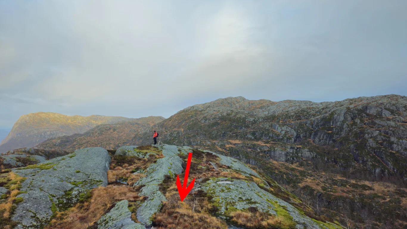
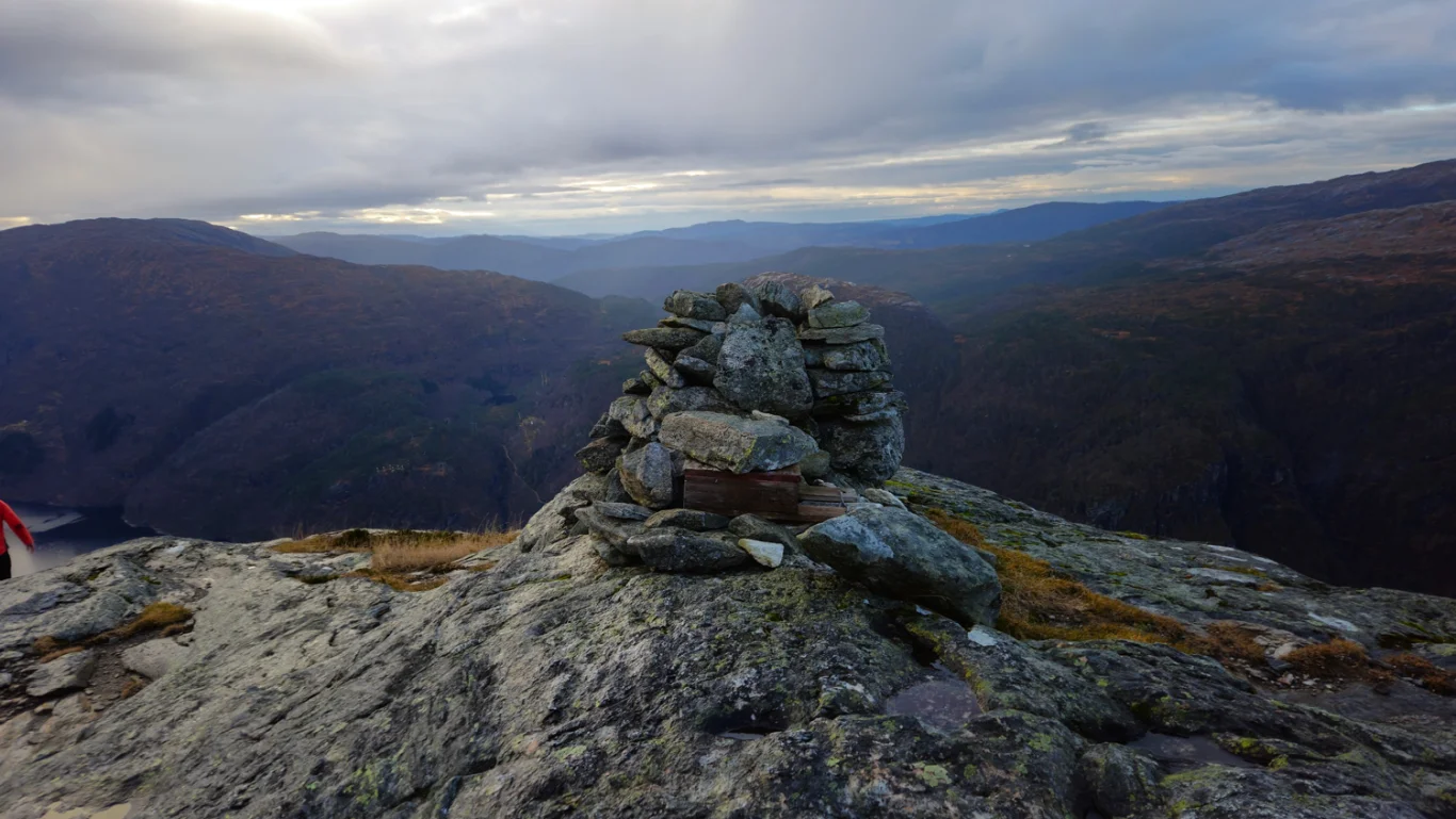
Follow the path all the way up to Helleskart at approx. 500 m. Here there is a crossroads, and you should follow the path to the left. It leads you in a southwesterly direction up the ridge of Storafjellet. Here there is an open mountain landscape, and there is easy terrain up to the summit cairn at 641 m.
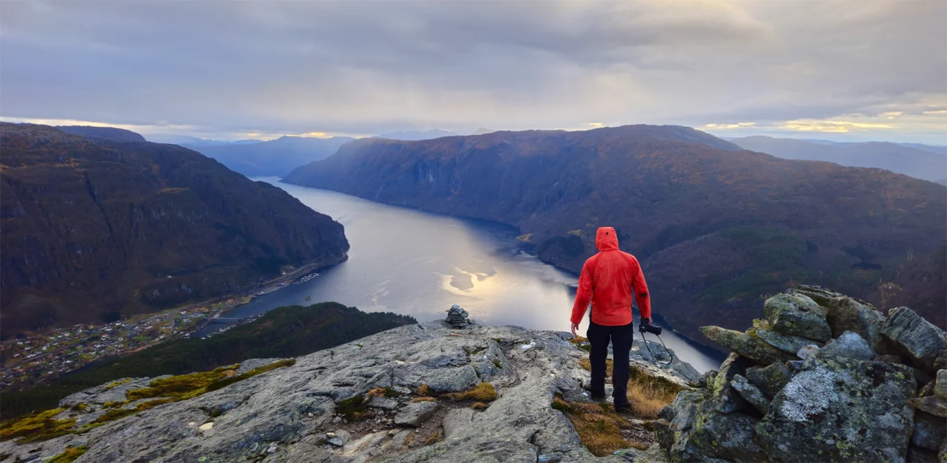
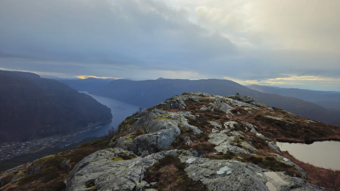
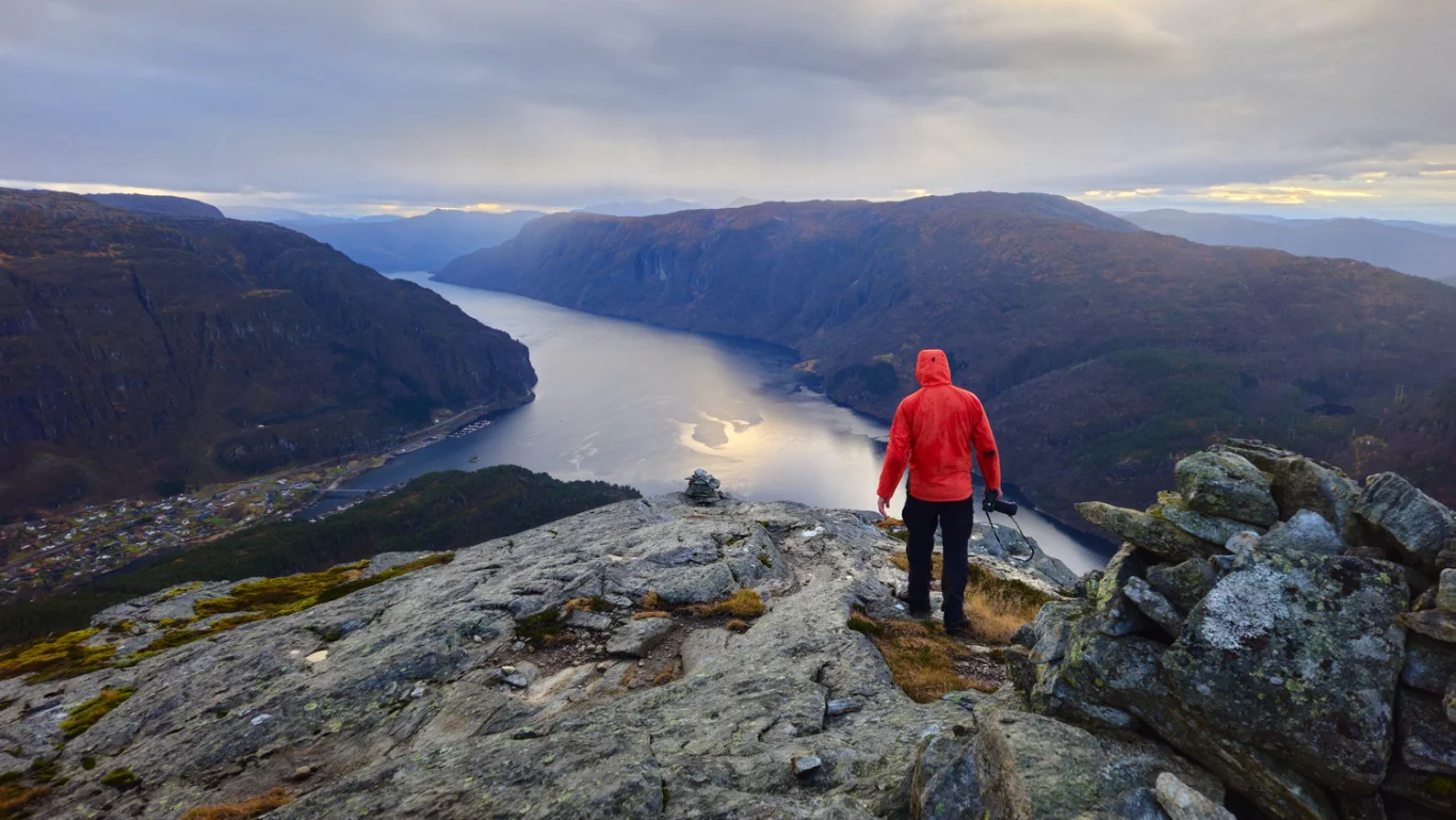
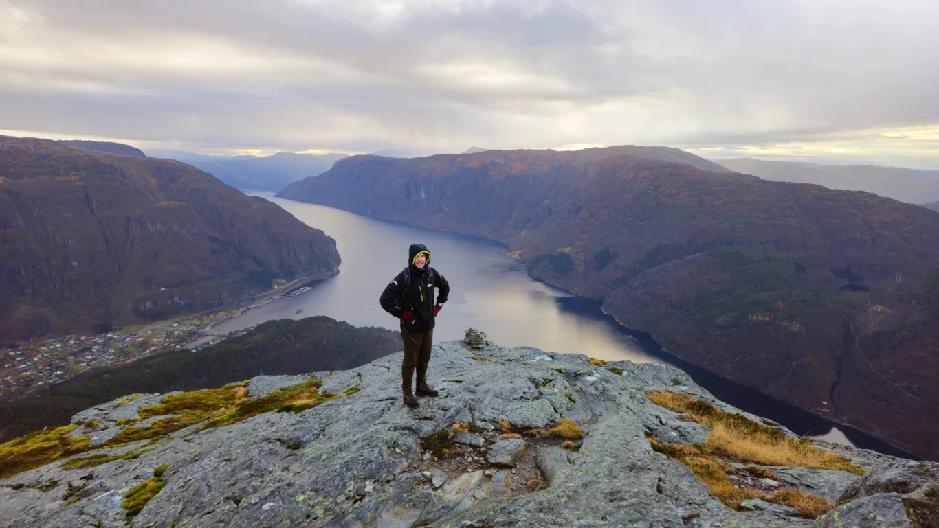
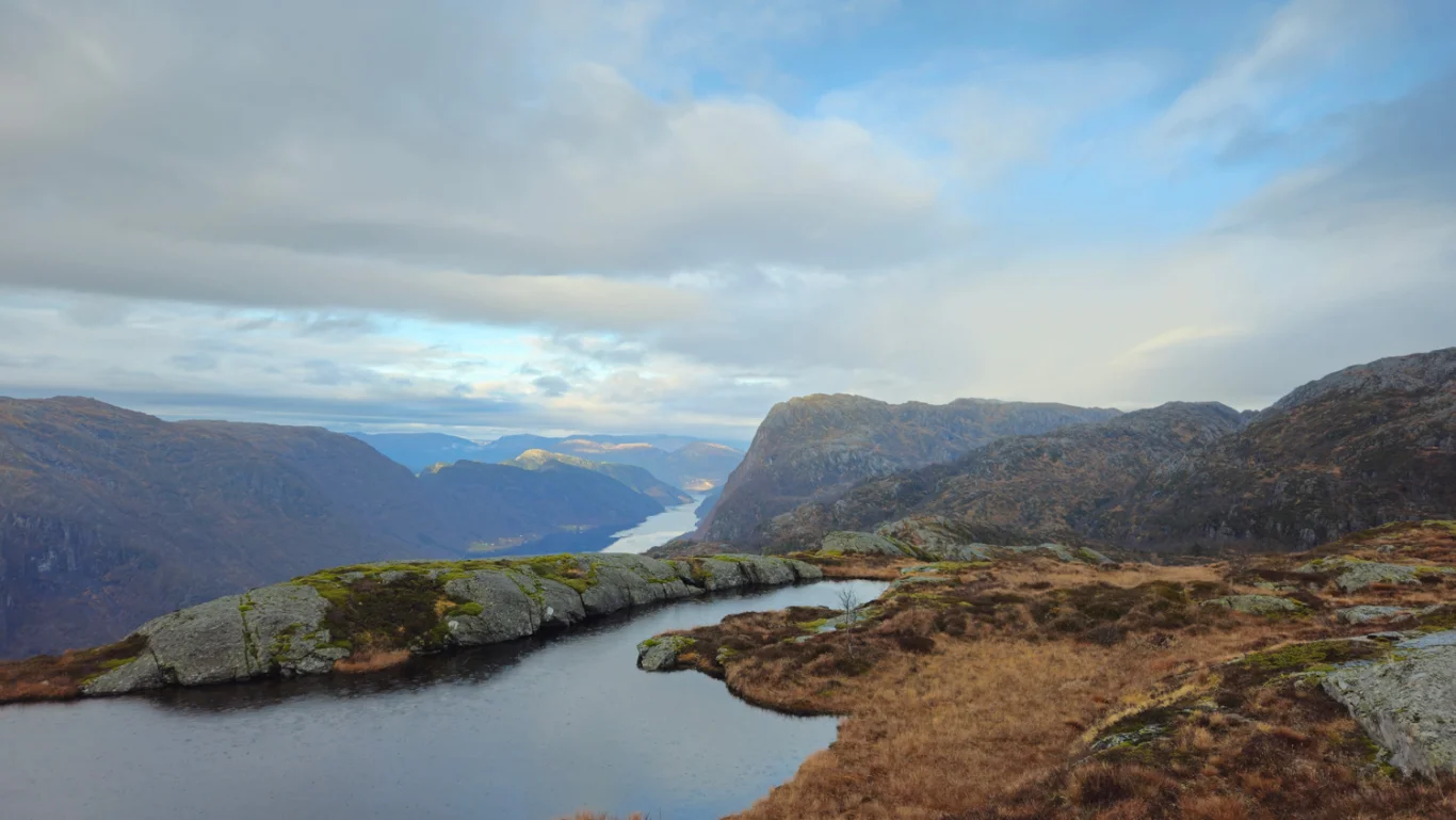
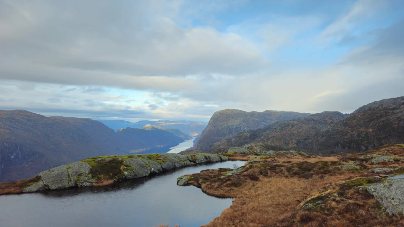
At the top you get a magnificent view down to Stanghelle and towards Veafjorden. The view is best if you walk a little further to the lowest cairn.
Return the same way.