The GPX Track is for guidance only and may contain errors. Use at your own risk.
– always check maps, weather and conditions before your trip.
From Bergen city center, drive towards Arna and then continue towards Trengereid. At the intersection, turn left towards Voss and drive to Vaksdal. When you come out of the Bogatunnelen, drive right and then left up Brualeitet. Follow the road and park at the cemetery.
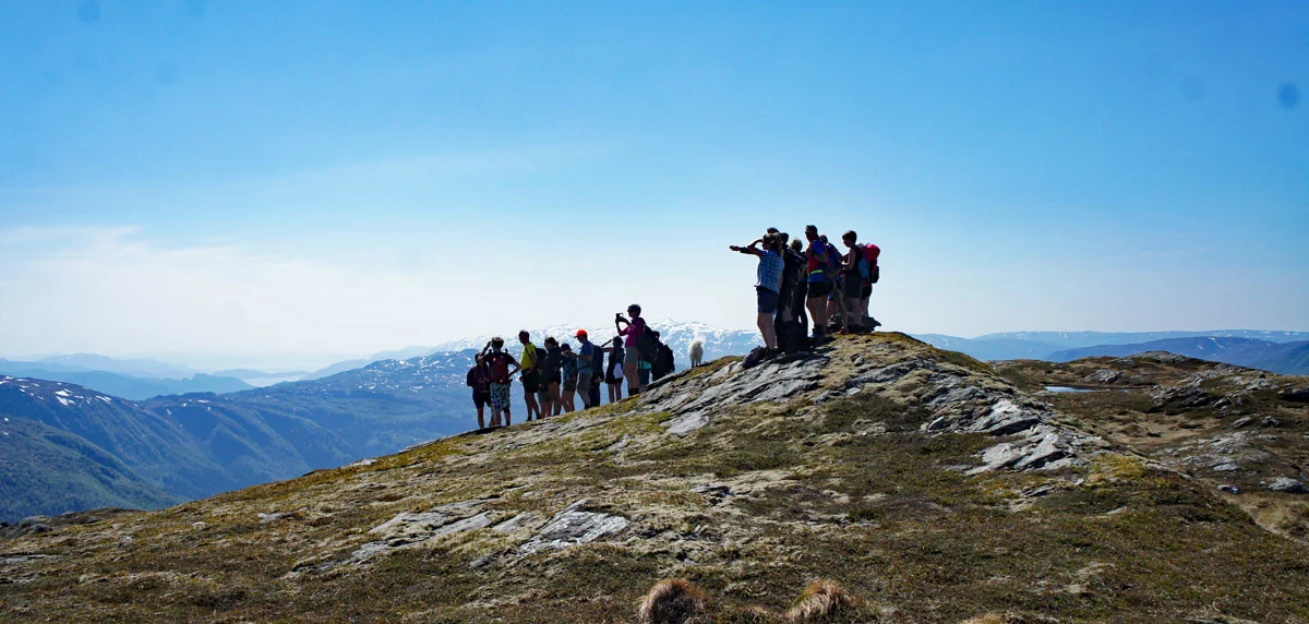
Great hike to Grånipa (806 m above sea level) in Vaksdal municipality.
The first part of the hike goes steeply uphill on a path through the forest. It is only when you get above the tree line at Javnasåta (636 m.) that you get a view. Follow the path along the ridge to the north-east. You will pass a seat and see two cabins on your left. Follow the path up through the upper part of Budalsskaret with Bjørnafjellet on your left. Just before Budalsskaret starts to go down, continue to the north-east and go towards the old ruins of Jamnasætra. From here, just follow the markings to Grånipa.
At the top there is a great view of Sørfjorden and Osterøy. You can see Hananipa, Brøknipa and Rispingen. On clear days you can also glimpse Gullfjellstoppen. We recommend going back the same way.
[widgetkit id='699']