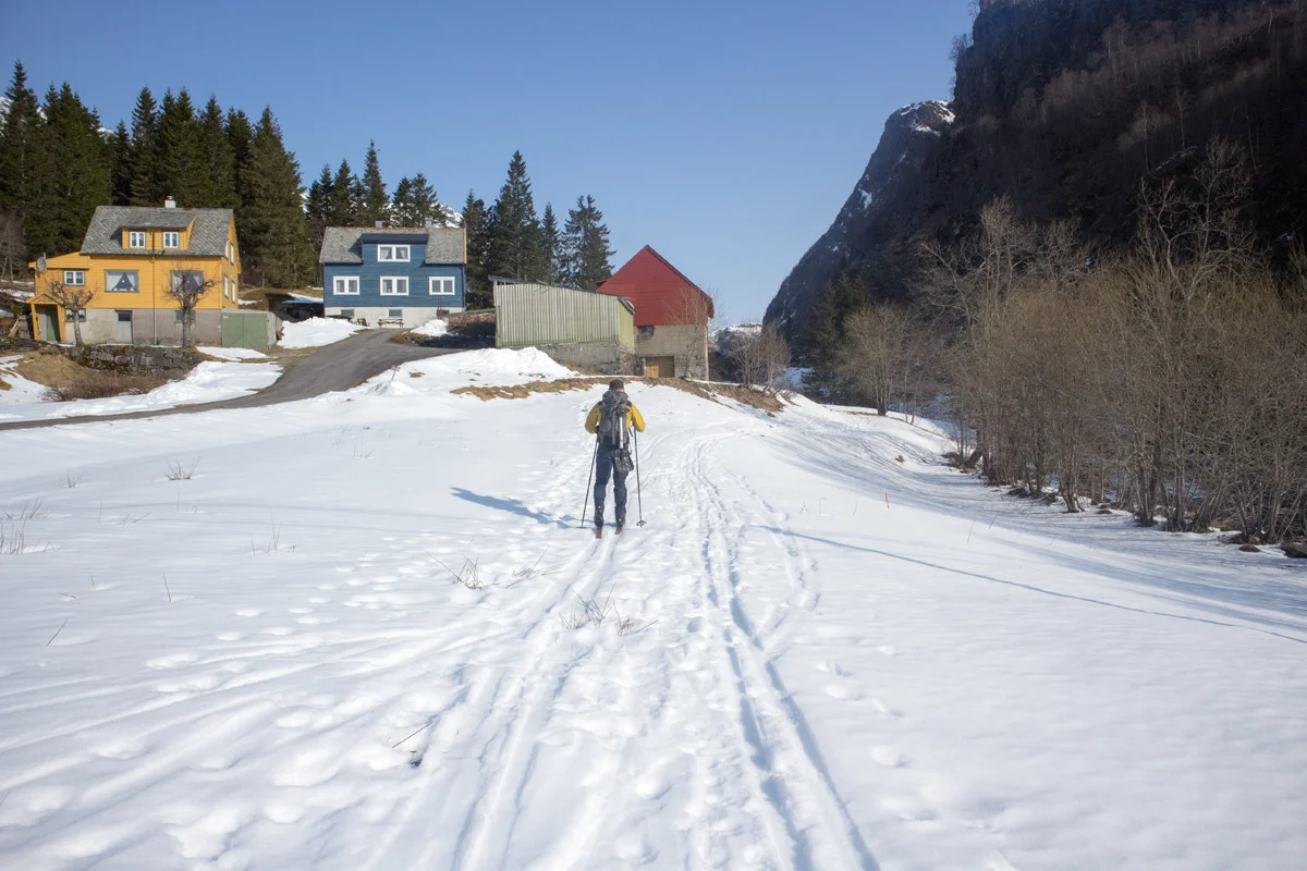
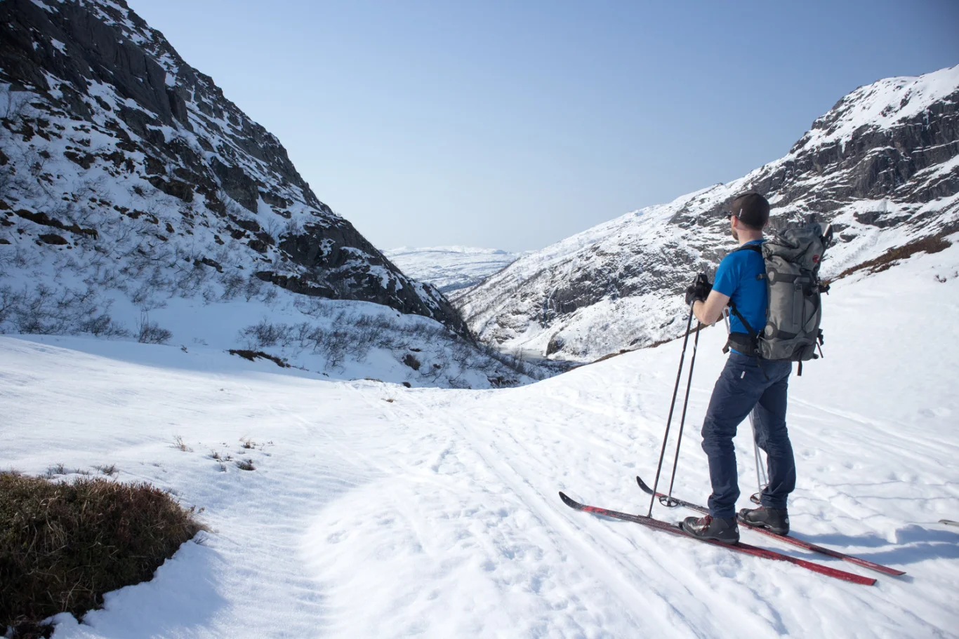
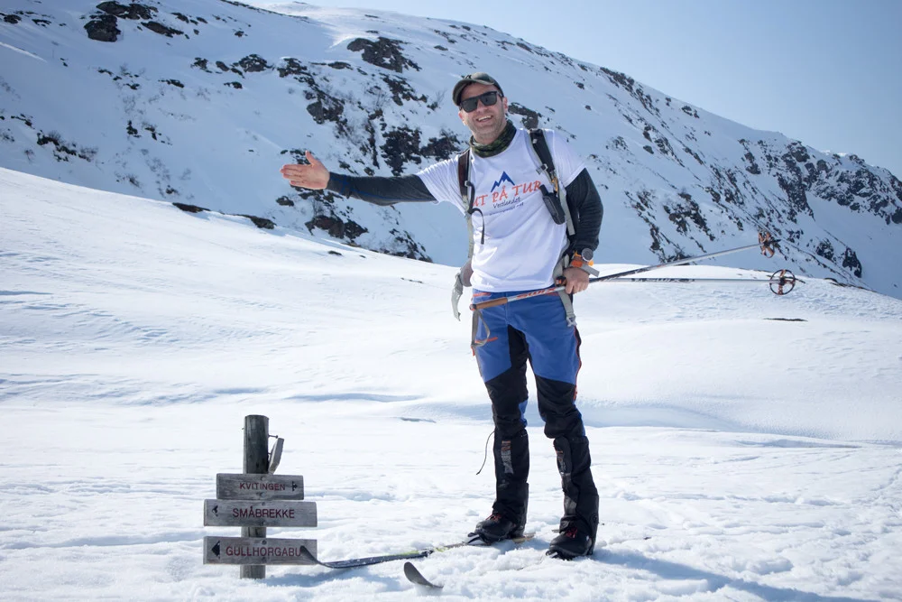
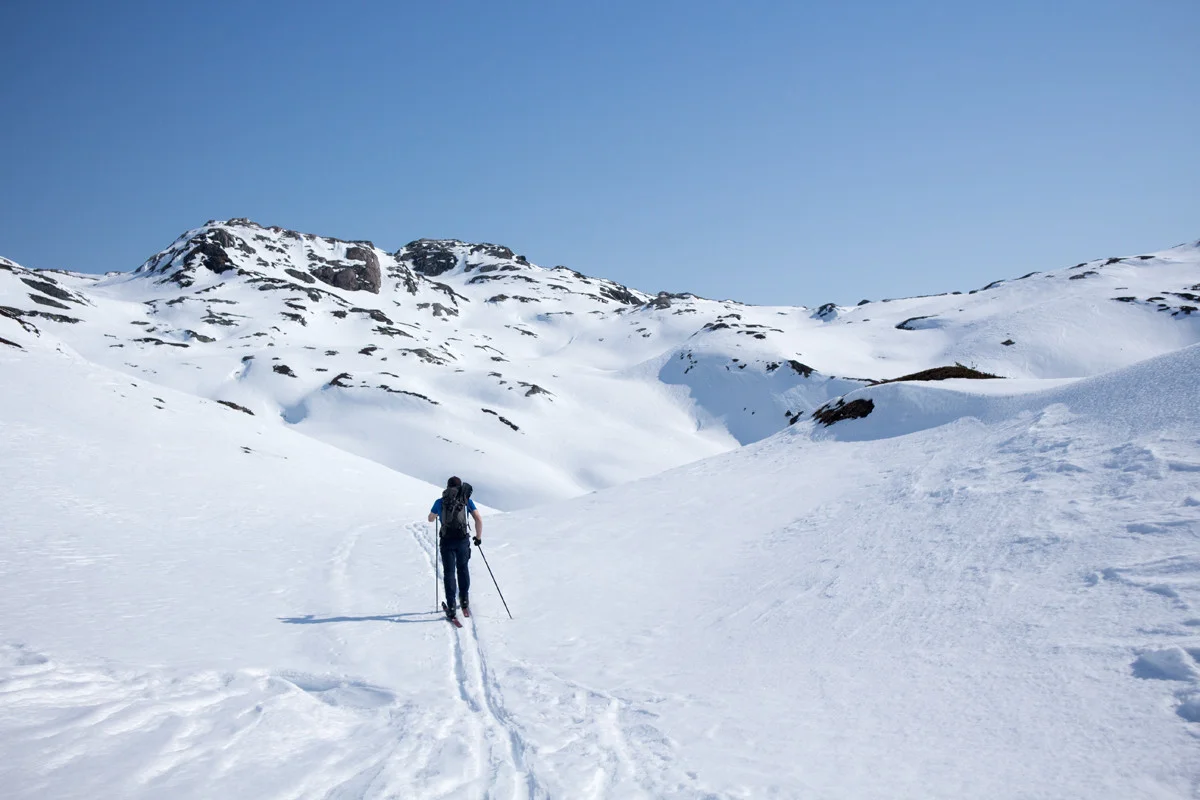
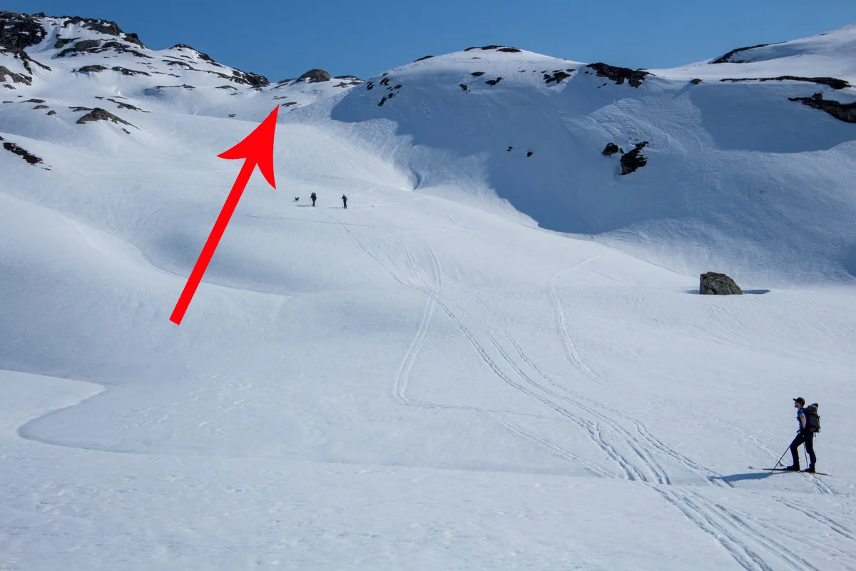
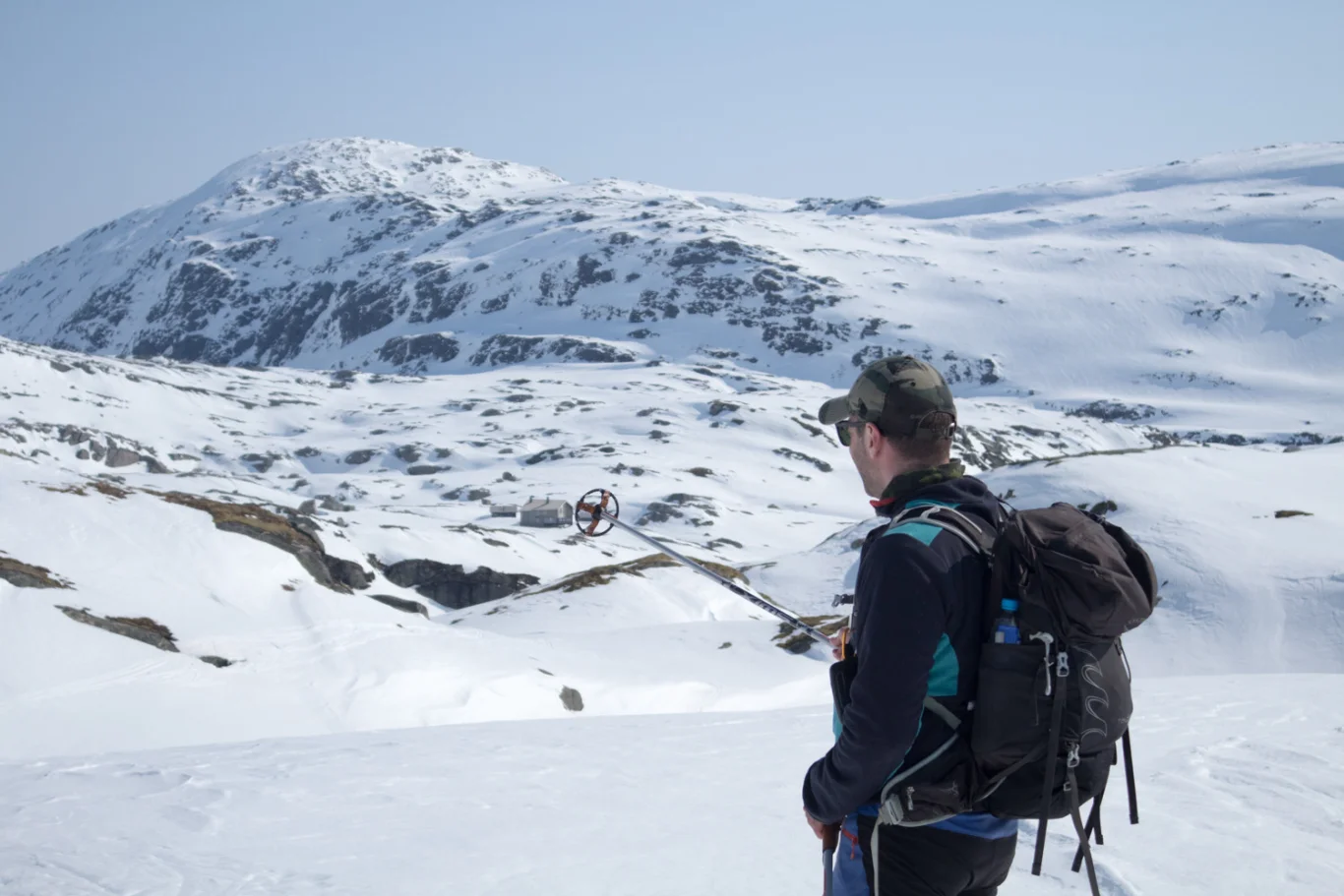
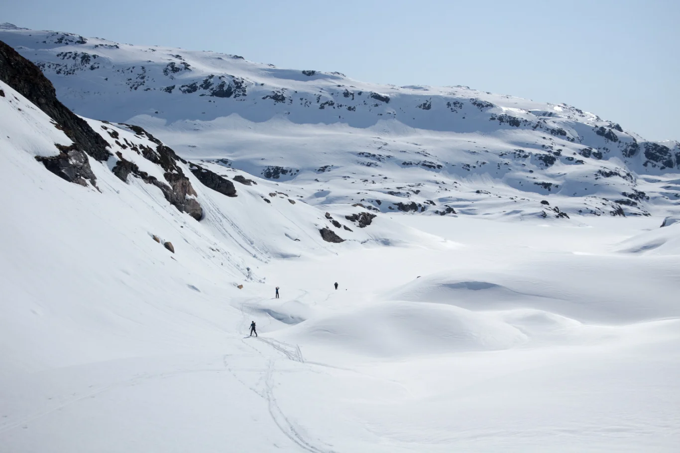
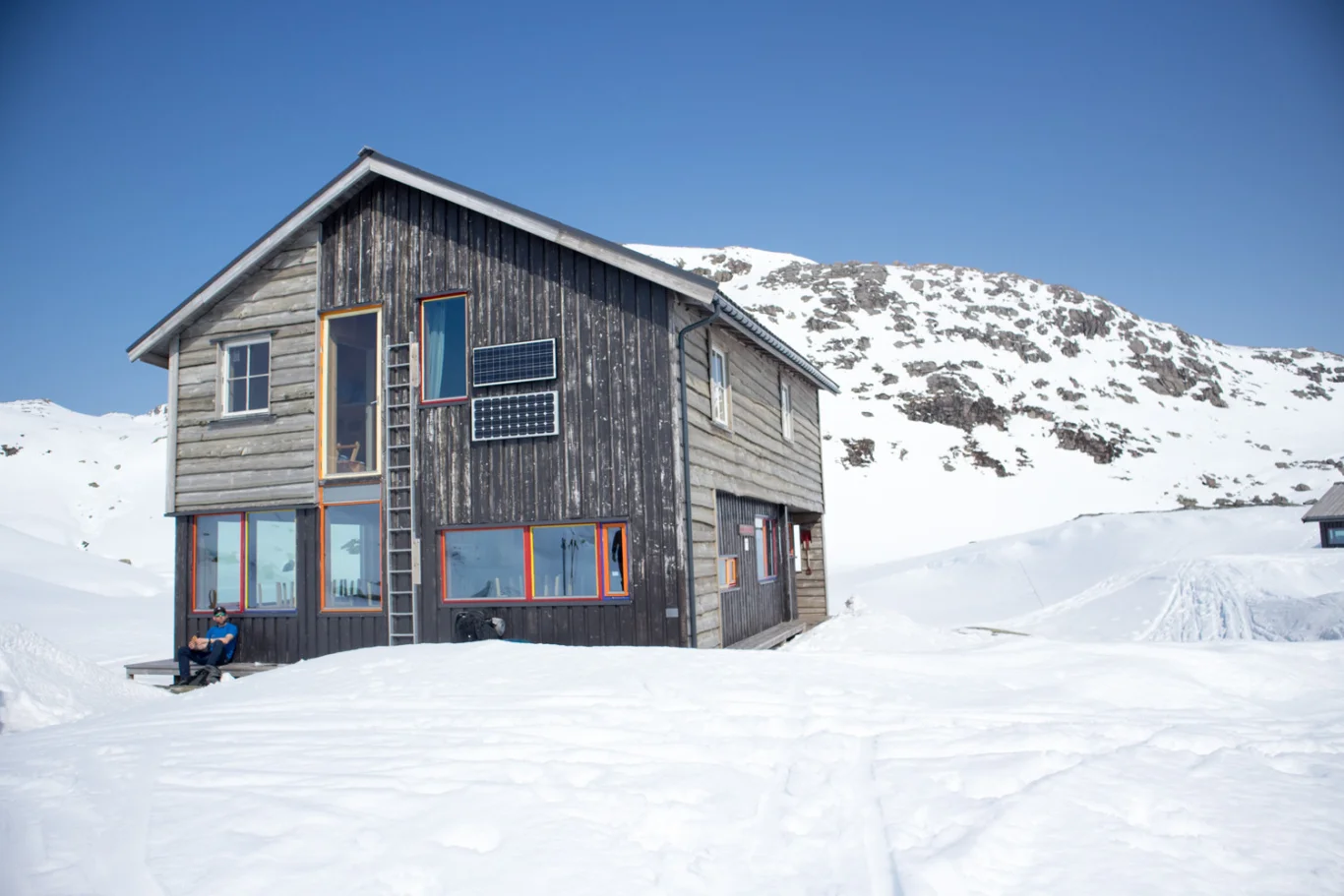
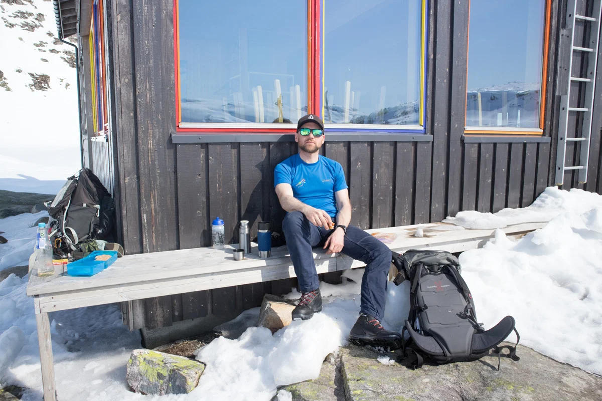
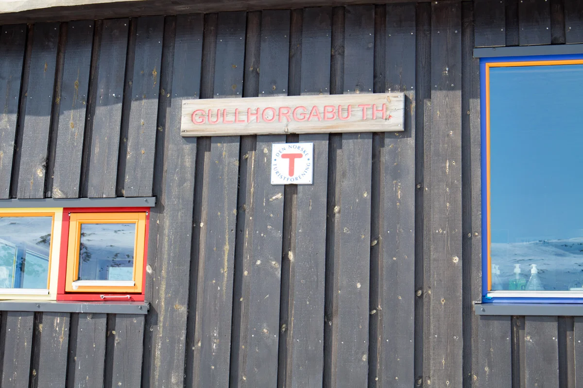
Ski trip from Kvitingen to Gullhorgabu (840 m)
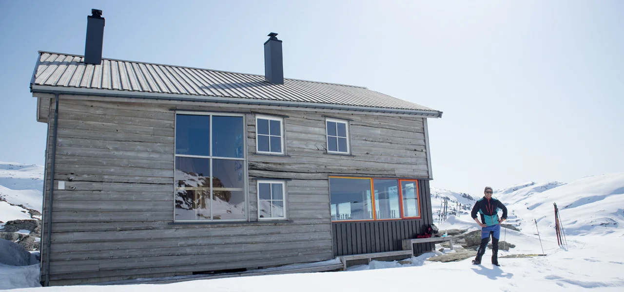
Photo: Admin

Processing elevation data.. .
You use GPX files that you download from our server 100% at your own risk.
Accommodation nearby


Hiking nearby


Distance
4.28 Km


Distance
6.96 Km


Distance
6.97 Km


Distance
8.01 Km


Distance
8.52 Km