
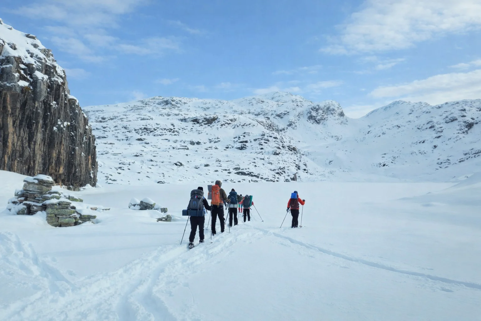
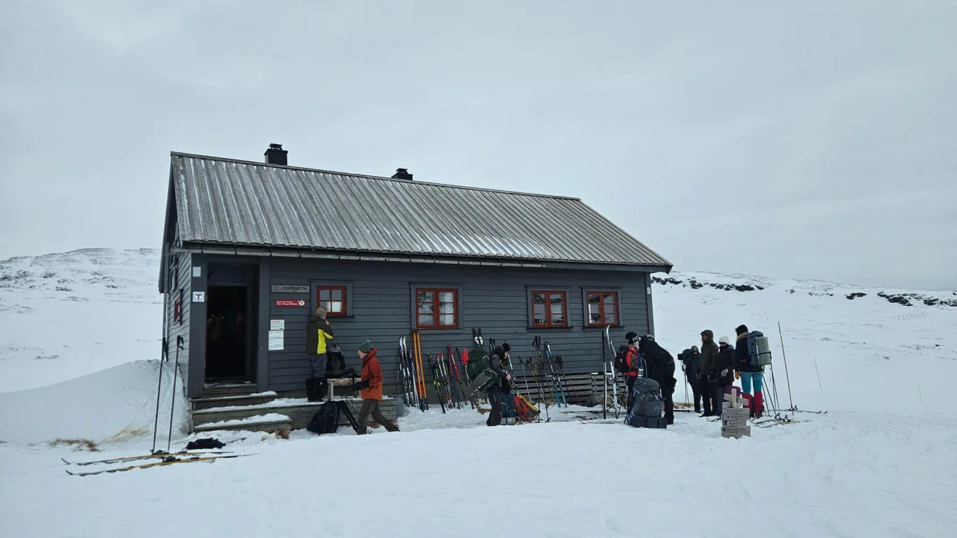
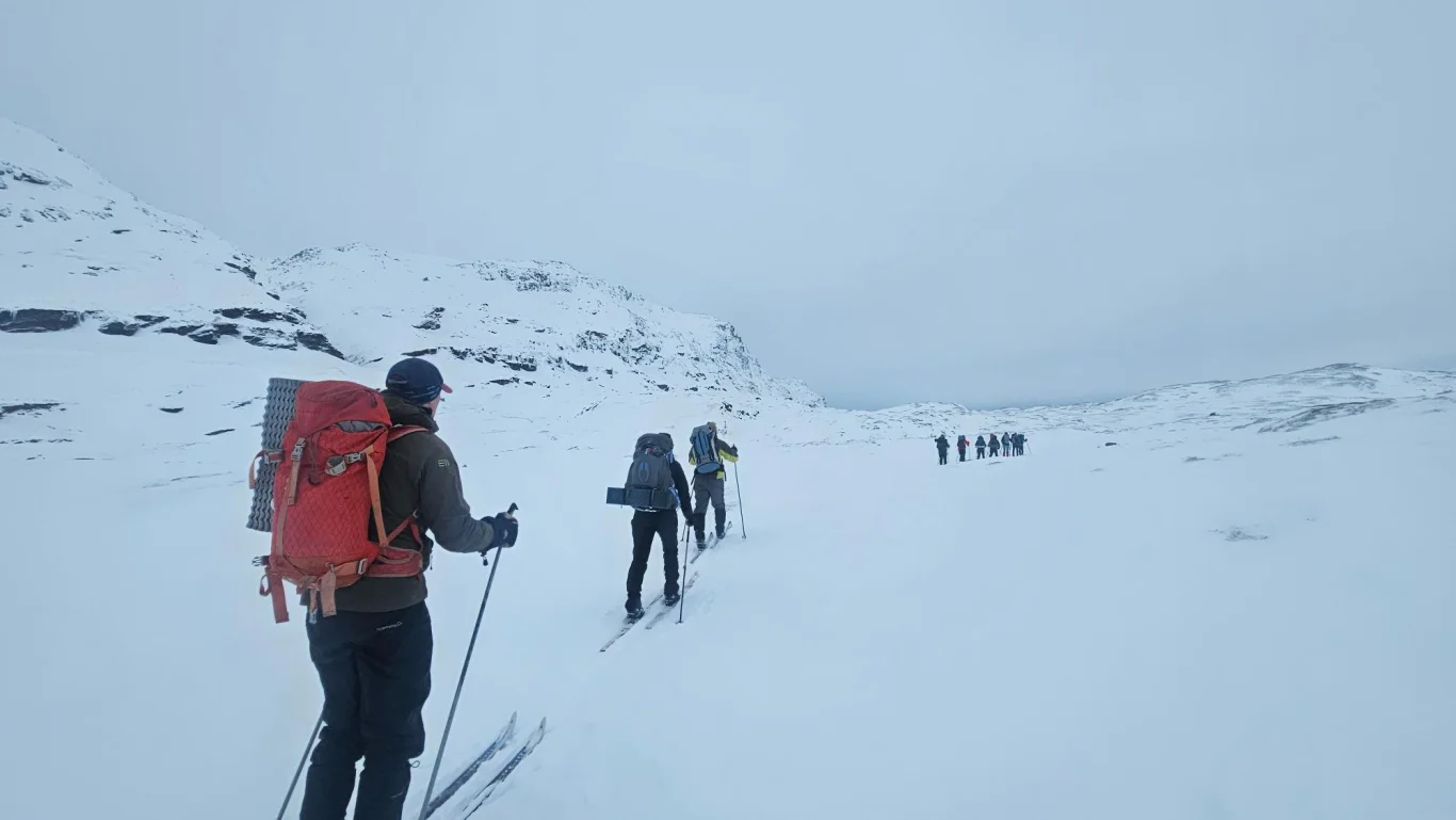
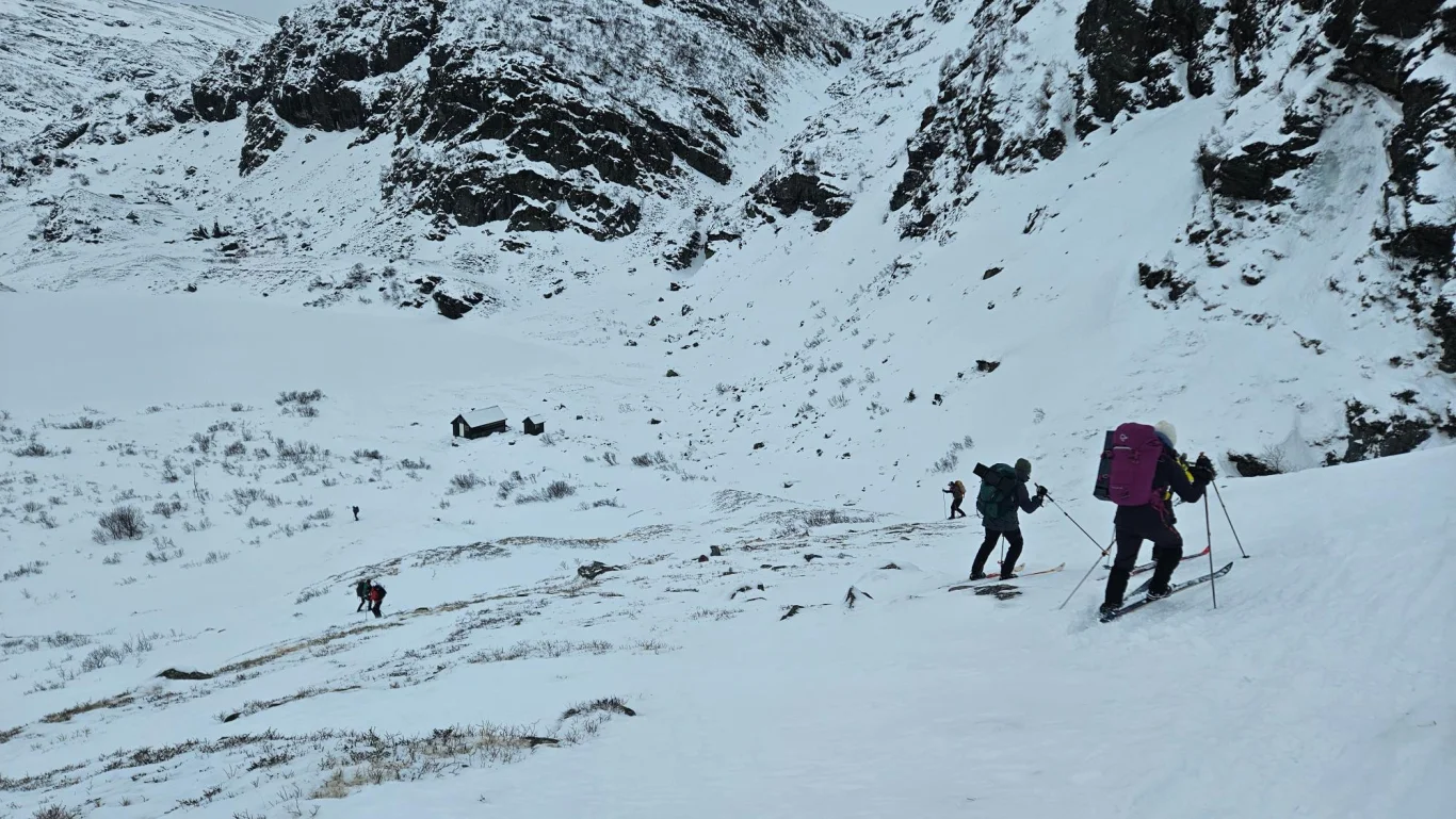
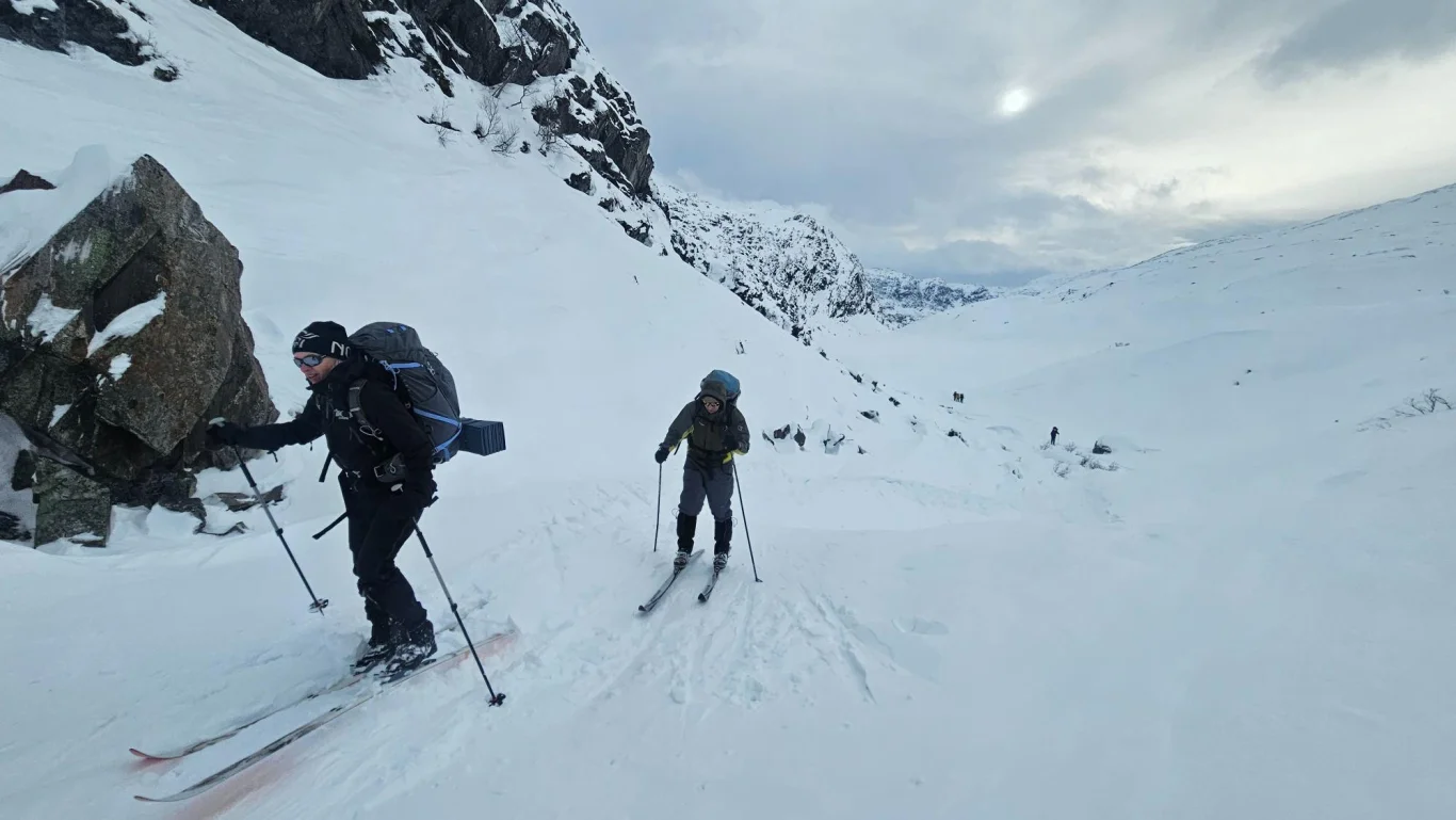
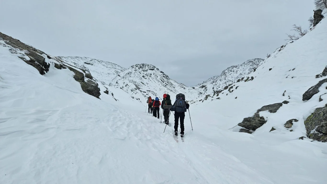
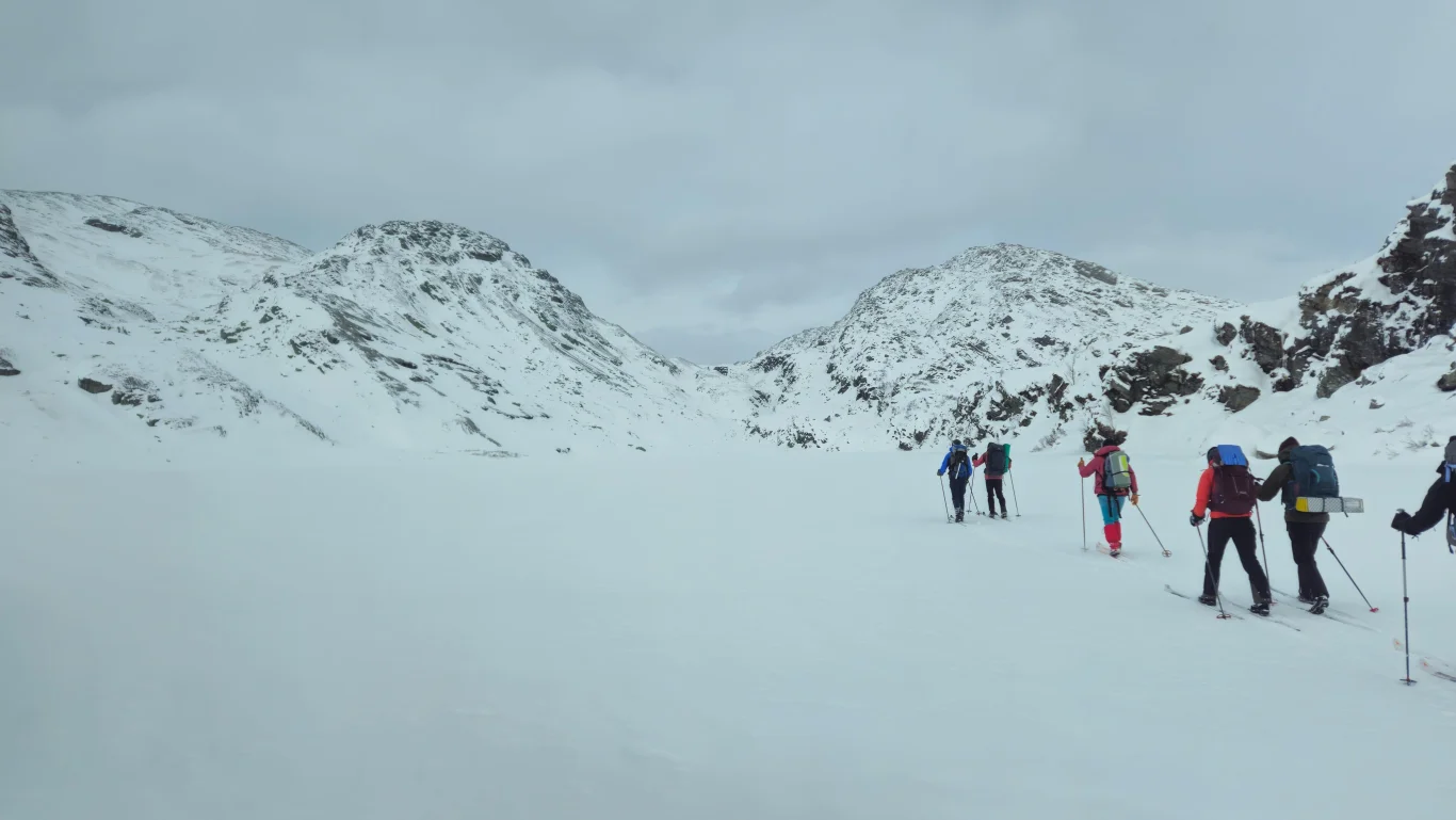
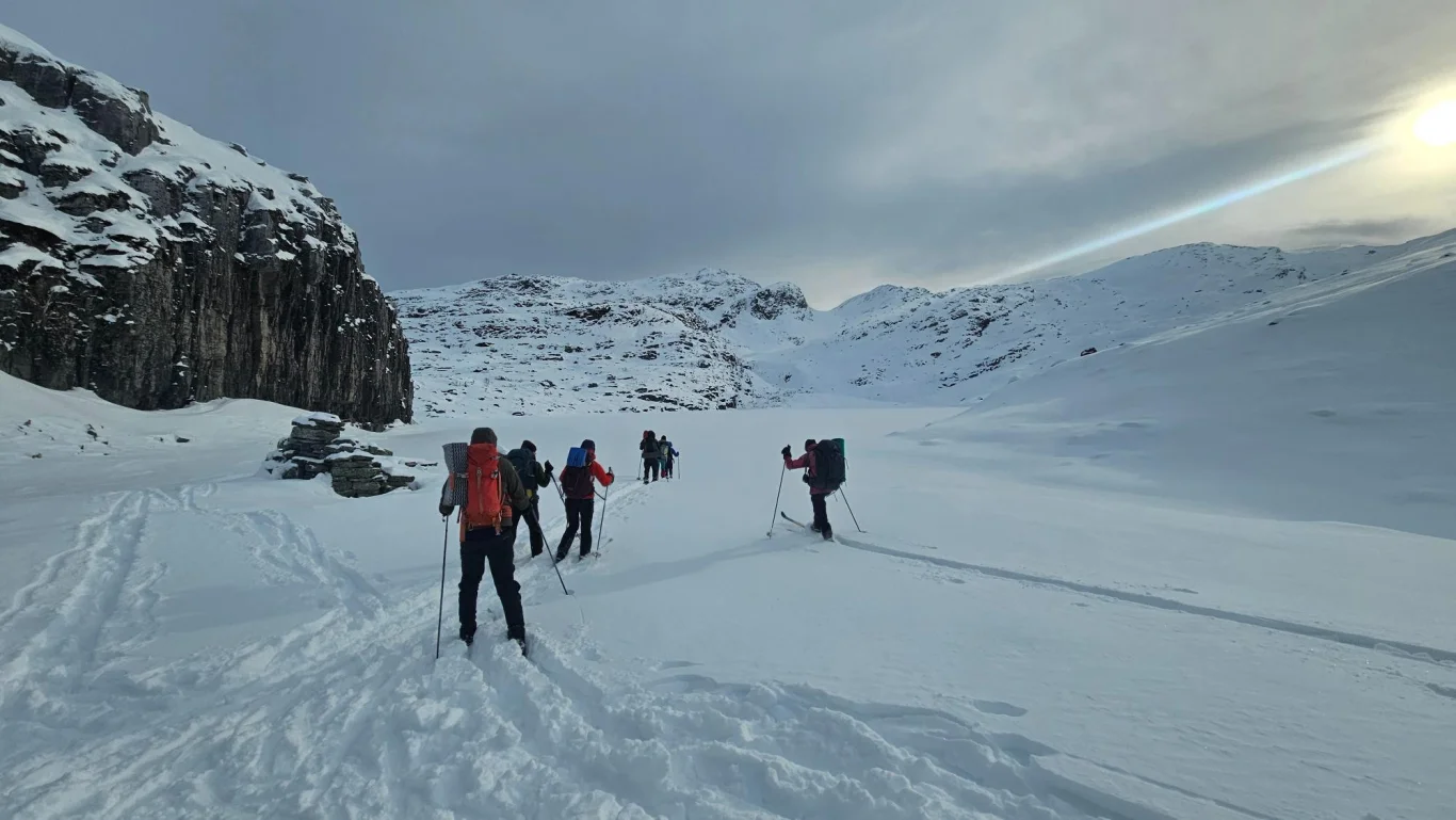
From Vending on skis over frozen water to Hamlagrøosen

Fra Vending på ski over islagte vann til Hamlagrøosen

The GPX Track is for guidance only and may contain errors. Use at your own risk.
– always check maps, weather and conditions before your trip.

Parking

Parking at the parking lot at Hamlagrøosen

Description

If you don't want to take the usual, short return trip from Vending back to the parking lot at Hamlagrøosen, a nice round trip is recommended.

Strap on your skis and head southwest into the valley towards Tverrelvane. On this stretch you follow the same route as the summer trail. At Tverrelvane you head north on the west side of the river, and run down Frostabrekka to the stables at Søyasete.

NB: Down Frostabrekka it is steep, and some sections are over 30 degrees. Be careful of snowdrifts and make good judgments based on the conditions.

From Søyasete you continue west, cross Søyavatnet and then head northwest towards Kjerringadalen, where a barn still stands. From here you continue north across several frozen bodies of water – first Båtvatnet and then Instavatnet. At the north end of Instavatnet you head east towards Djuptjørna. From Djuptjørna you follow the riverbed down to Langtjørni, and further along a new riverbed down to Tjørnadalstjørni.

From Tjørnadalstjørni you run on the north side of the valley down towards Hamlagrøosen. From there you just follow the usual route to the parking lot.

Information

Length: Approximately 11 km one way
Time: Approximately 5-6 hours
Elevation gain: 200 meters
Season: December - March (as long as there is safe ice on the waters)
Use mountain skis with steel edges.

NB: This ski trip goes off-piste and over several frozen bodies of water. Therefore, make good judgments based on weather and wind conditions.
Grading: Demanding

Processing elevation data.. .

You use GPX files that you download from our server 100% at your own risk.

Accommodation nearby

Hiking nearby