The GPX Track is for guidance only and may contain errors. Use at your own risk.
– always check maps, weather and conditions before your trip.
From Bergen, drive to Arna and towards Trengereid. When you reach the roundabout, drive towards Voss. Follow the E16 to Dale. Drive through the center of Dale and follow Bergsdalsvegen up into Bergsdalen. This road is steep and narrow, so drive carefully. Follow the road to Hamlagrøosen and turn right just where Hamlagrøvatnet starts.
It is approximately 1 hour and 20 minutes drive from Bergen.
The hike starts at the foot of Hamlagrøvatnet. Follow the road along the water until you reach the cabin farm and the road turns into a path. Follow the path on the right side of the river and cross the bridge. From here, follow the red-marked DNT path south.
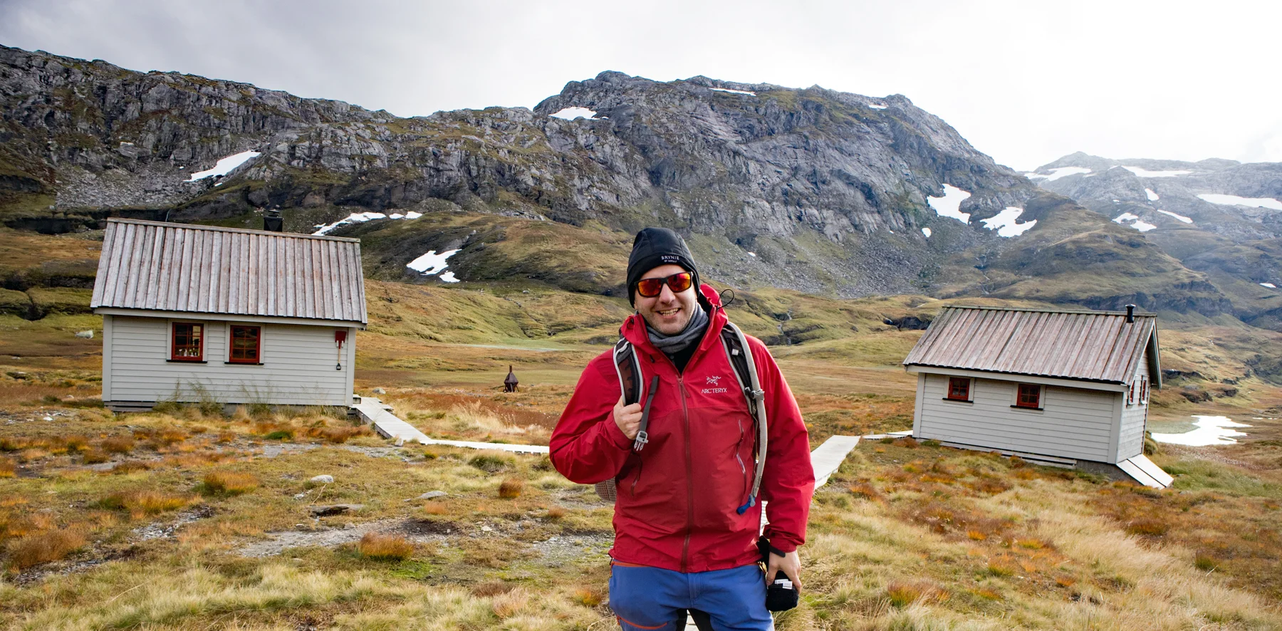
The path is good and bridges have been made over the largest bogs. It is a steady climb. When you reach the crossroads, turn right, signposted 'Vending'. Follow the path south over Heiane. It is a steady climb and for a part the path goes along a cliff, so be careful. Cross Langagjelet and walk the mountain pass down to Vending. You can see the cabin in the Distance .
From Vending you can continue to Breidablikk or for a round trip you can go north past Vendingstjørn and follow the valley back. The trail is also marked here.
Have a good trip!