The GPX Track is for guidance only and may contain errors. Use at your own risk.
– always check maps, weather and conditions before your trip.
Skrott (1320 m) is located in Kvam and is one of the highest mountains in the area.
The path up to Skrott is no more than 4.5 km, but it is steep with an elevation gain of about 1000 meters. Follow the road from the end of the parking lot until you reach the sign marked 'Skrott/Breidablikk'. Breidablikk is a well-known DNT cabin located about 1 km northwest of Skrott.
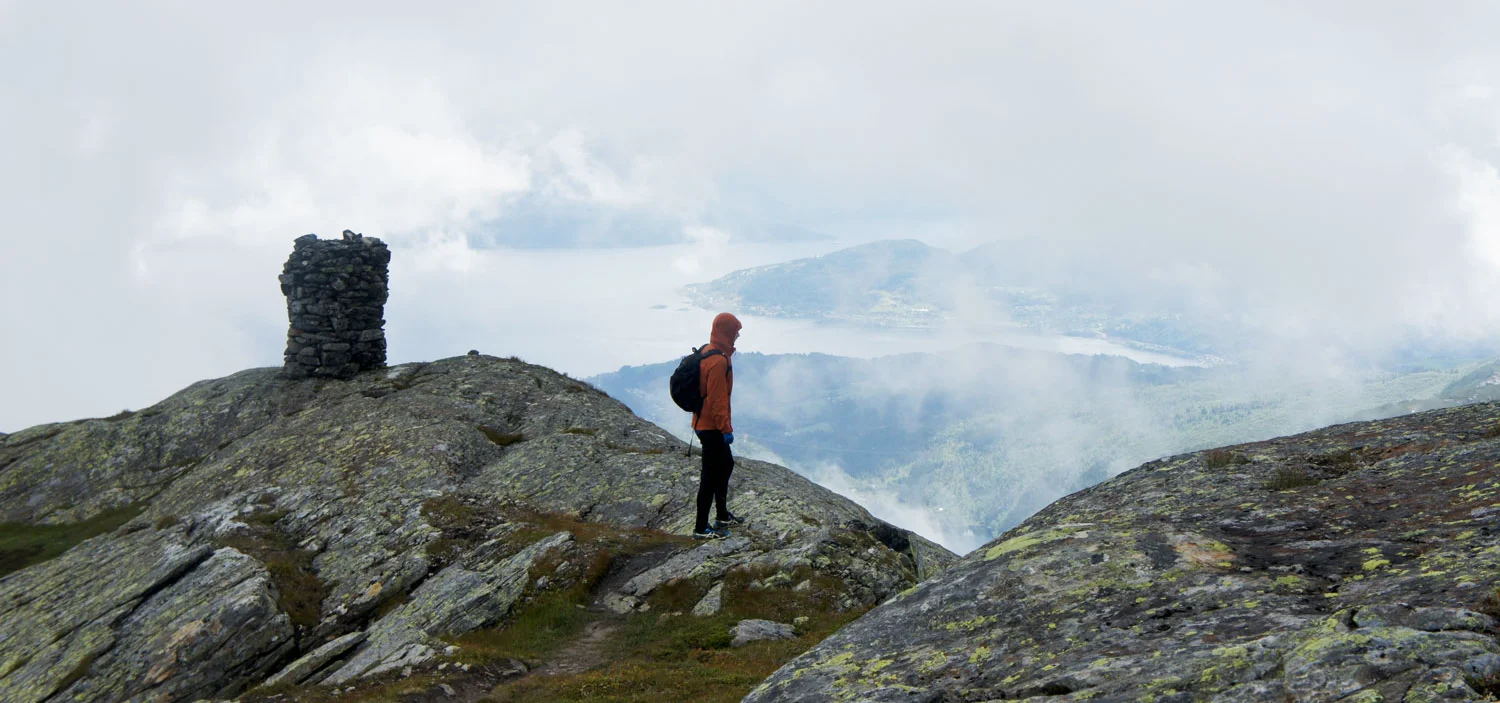
First the trail goes through spruce forest and then through more open deciduous forest. It goes up quickly. When you get above the tree line at about 800 meters above sea level, it will flatten out and you will see a cabin (Håsete). Follow the marked trail up to the left. The trail is marked with DNT's red crosses all the way. Continue up until you see the Next cabin. Take the trail to the right, go past the cabin and you will see the top of Skrott in the background. It goes steeply up and the trail goes in and out. When you get to the mountain plateau you will see a cairn. This is not the summit cairn, but it is definitely the most beautiful viewpoint of the trip. From this cairn it is only a few 100 meters to the summit with a steady climb.
If you want a longer hike, it's nice to go into the mountains and down to Breidablikk.
Don't forget to enjoy the view of Hardanger, because it doesn't get any better!