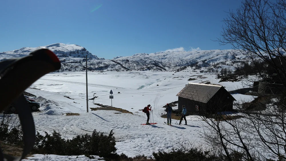
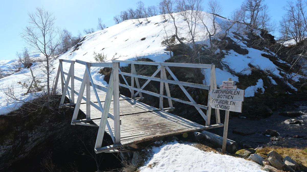
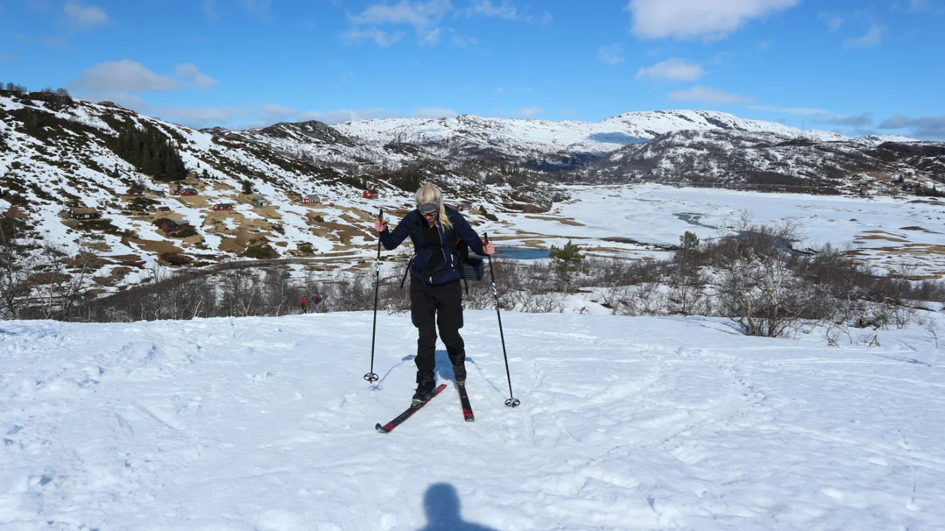
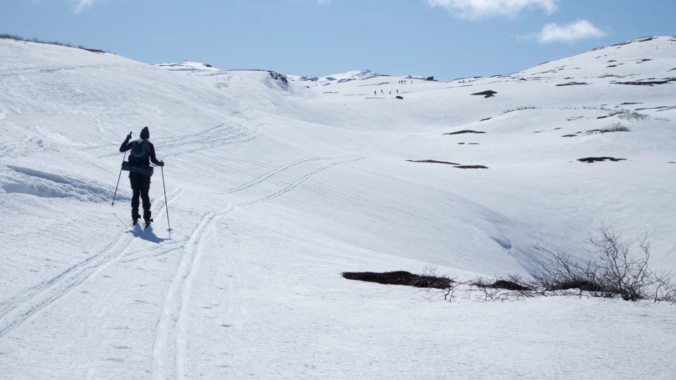
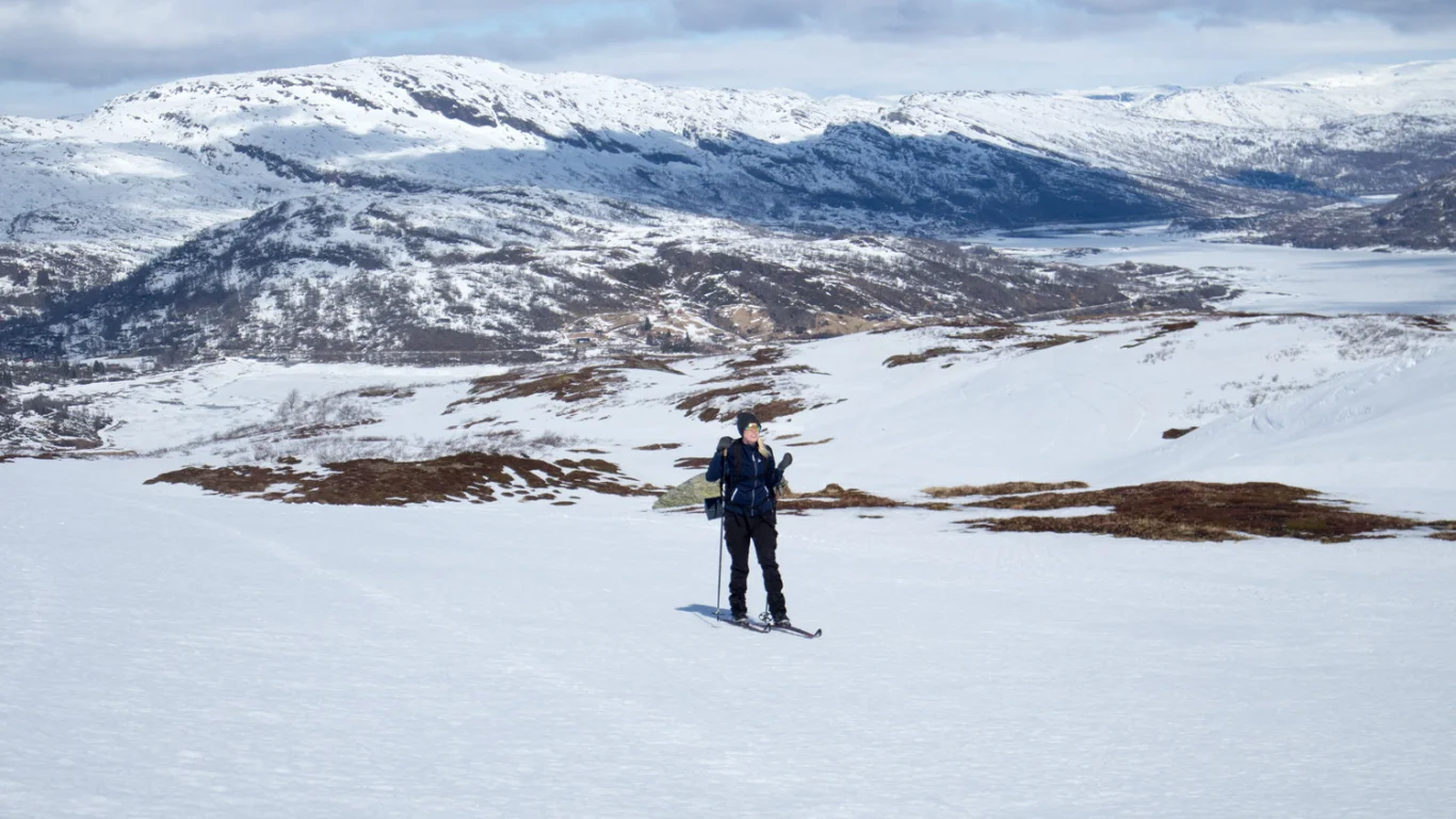
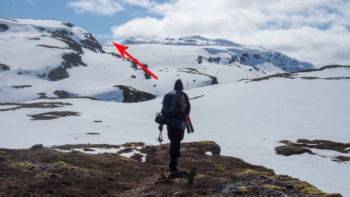
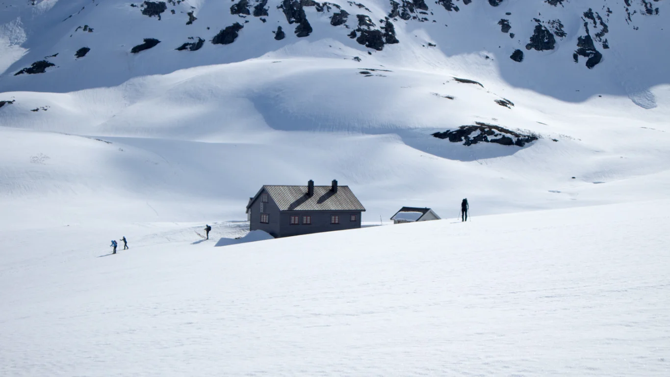
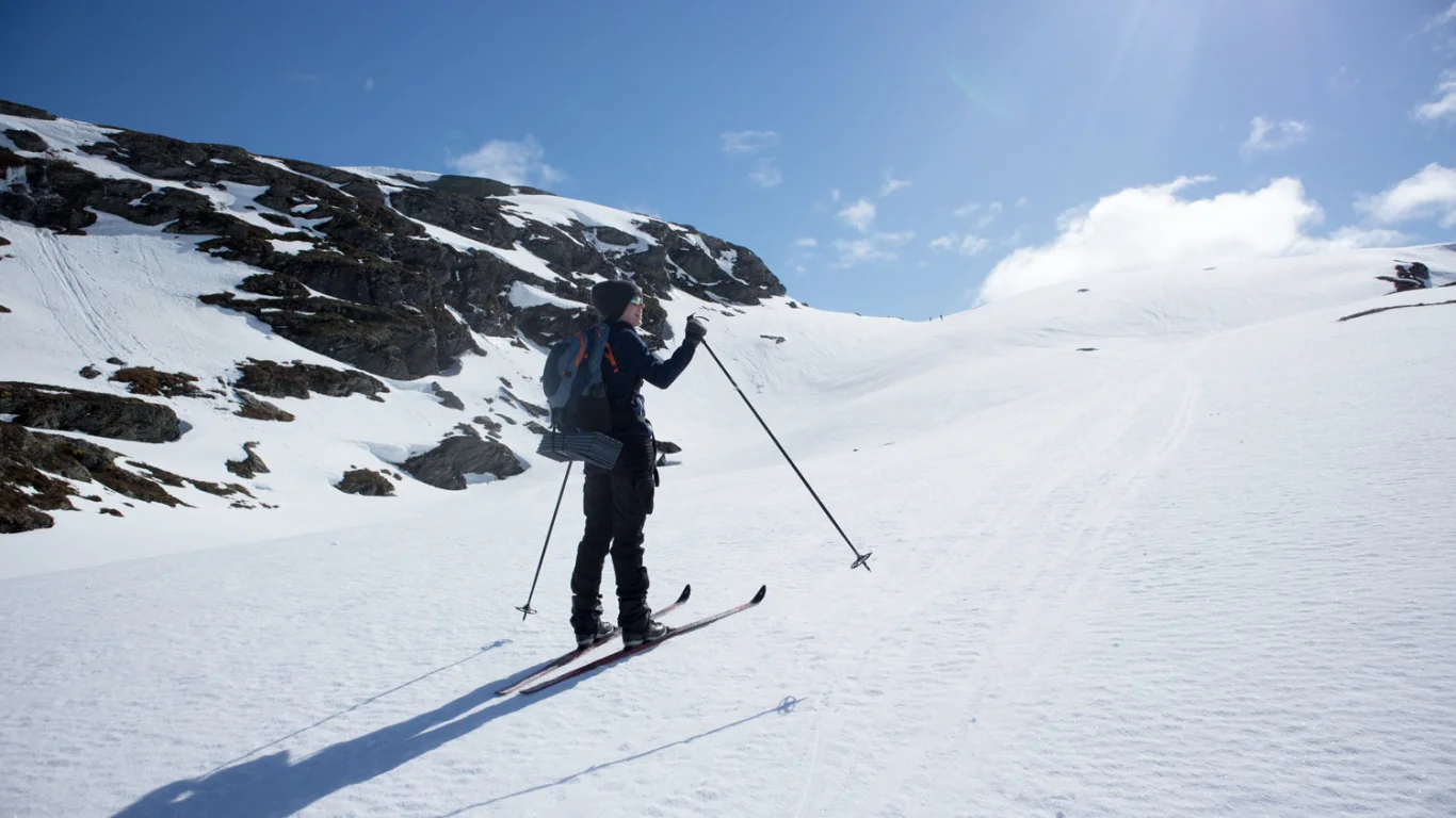
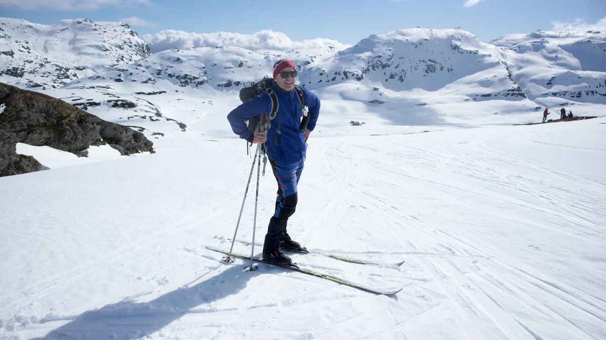
Ski trip Vending (820 m) from Hamlagrøosen
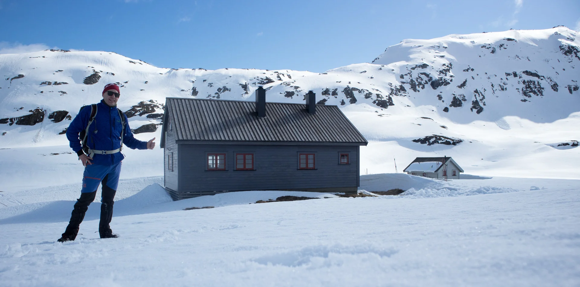
Photo: Admin

Processing elevation data.. .
You use GPX files that you download from our server 100% at your own risk.
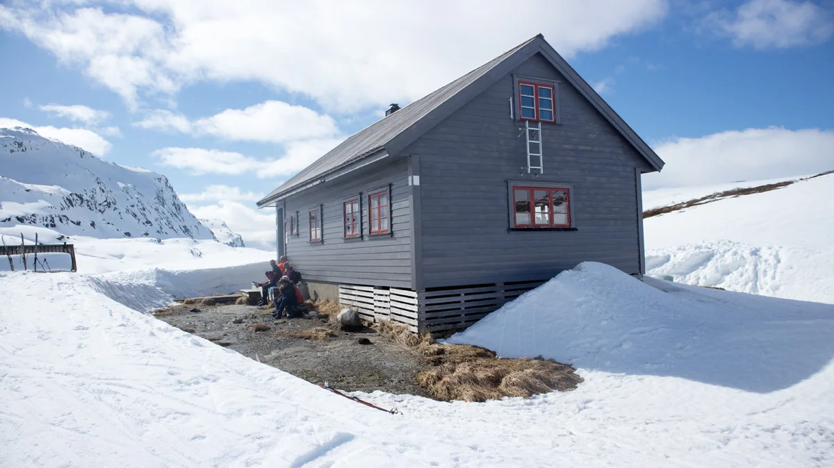
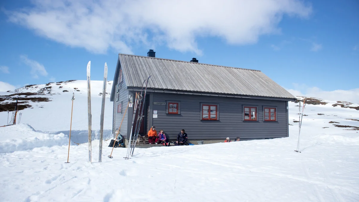
Accommodation nearby


Hiking nearby


Distance
0.01 Km


Distance
3.88 Km


