
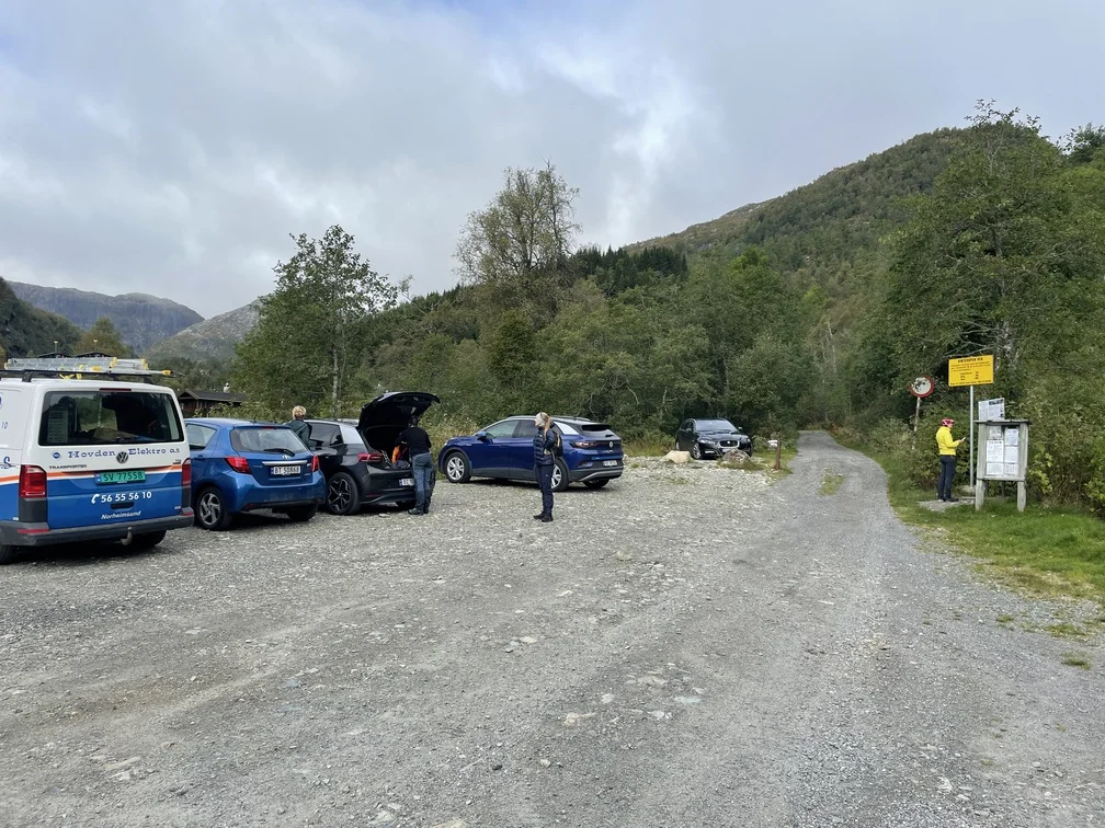
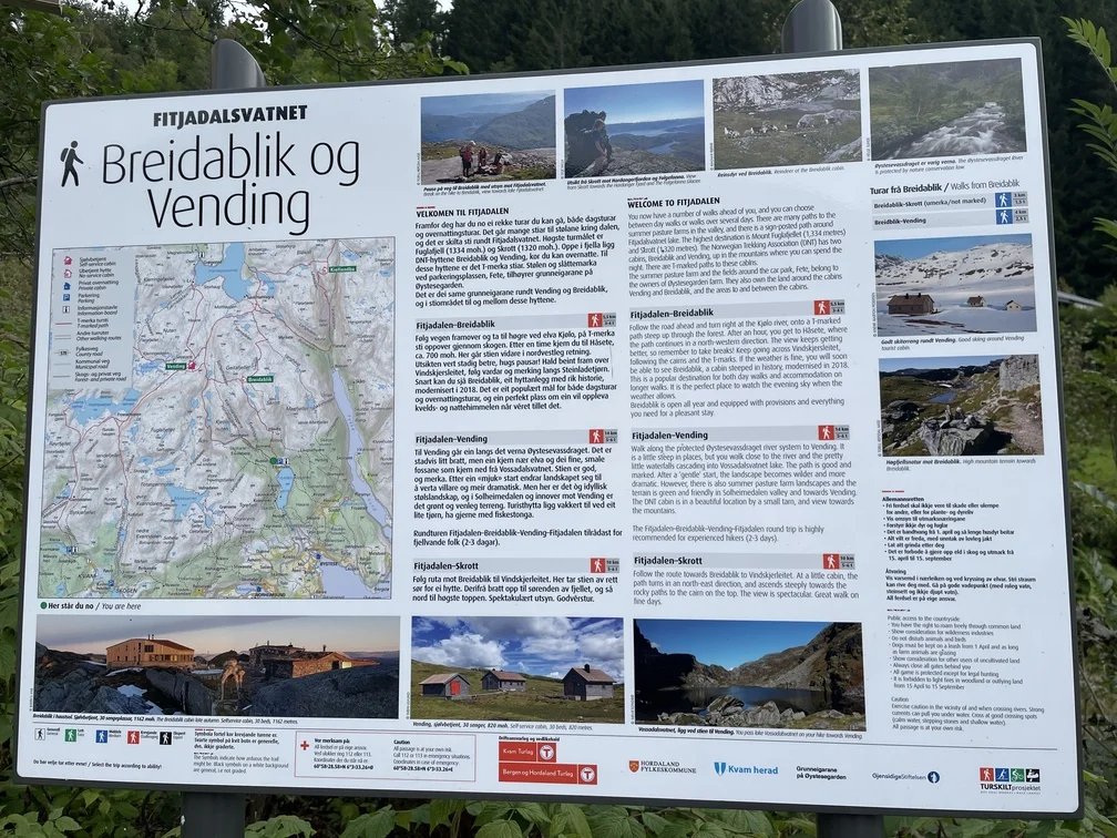
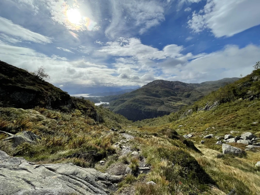
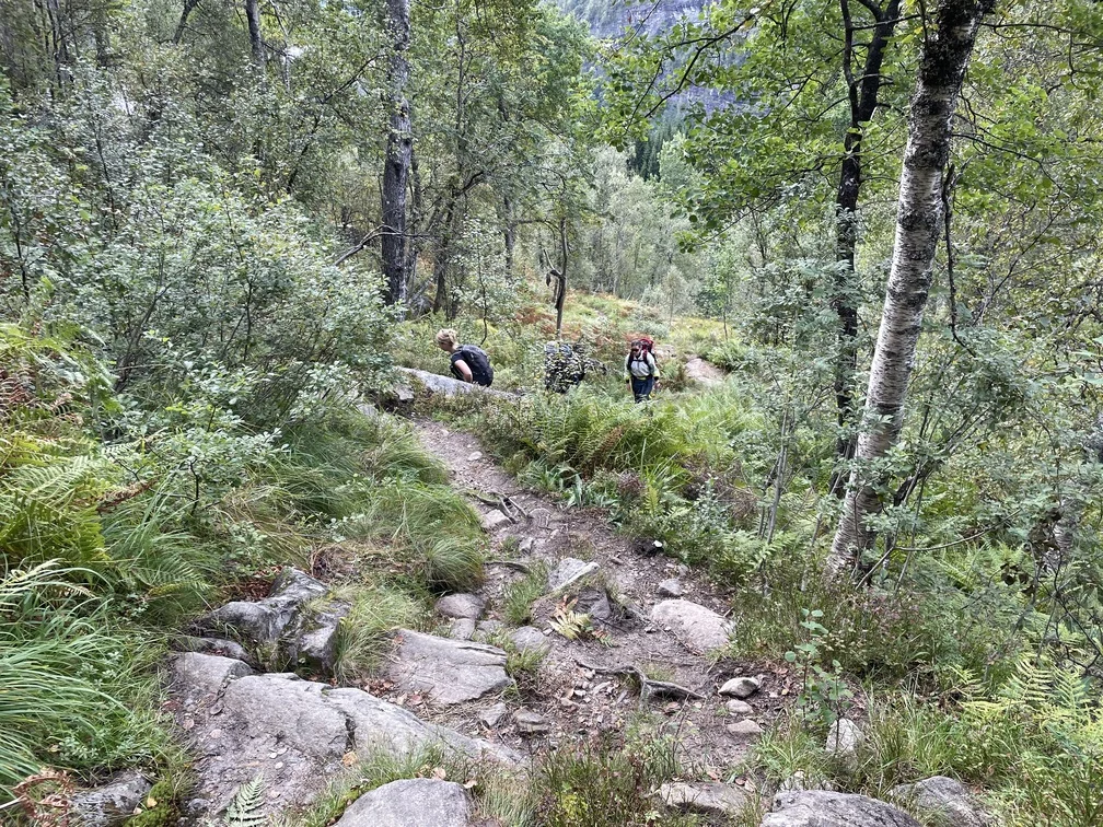
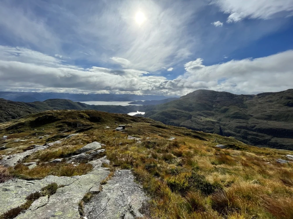
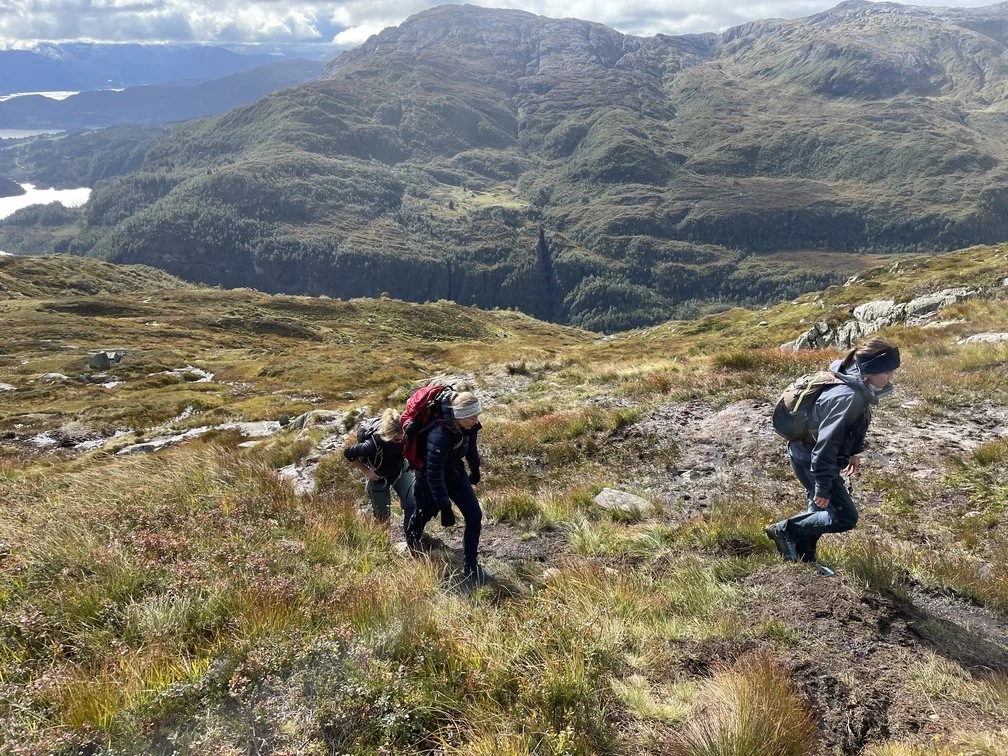
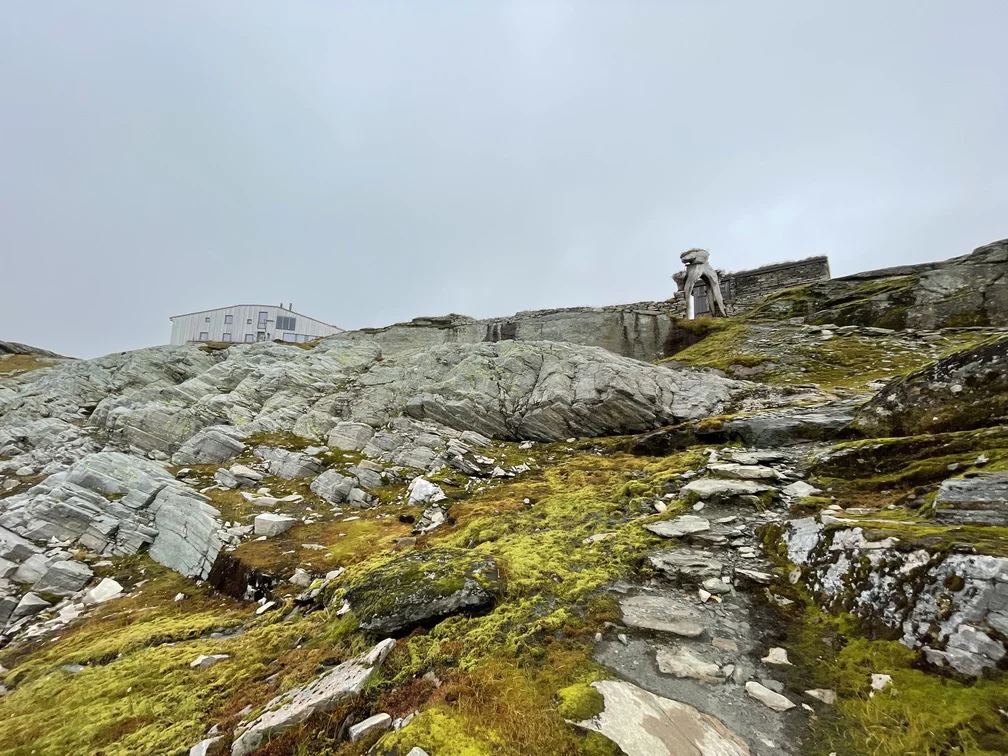
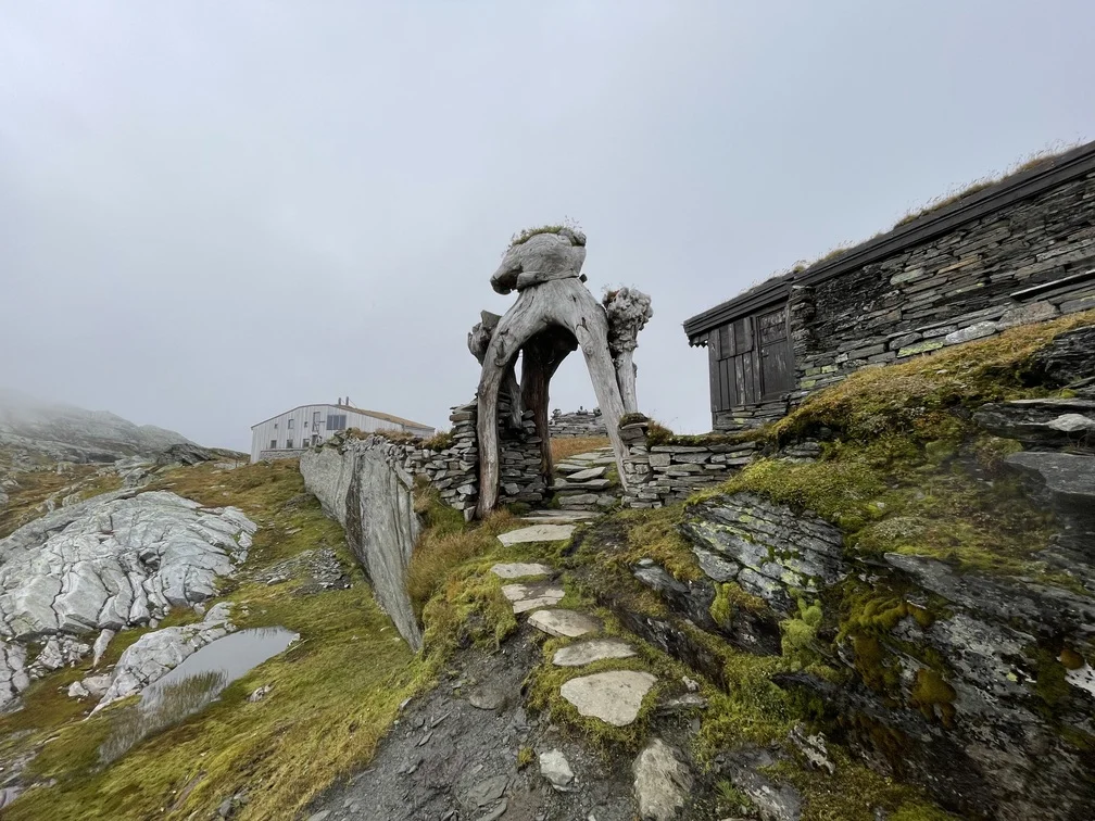
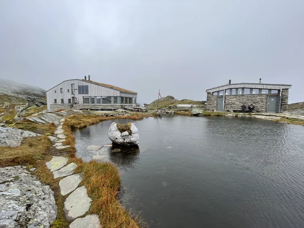
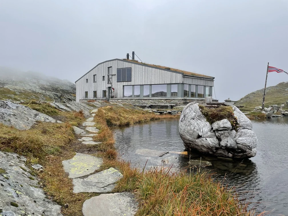
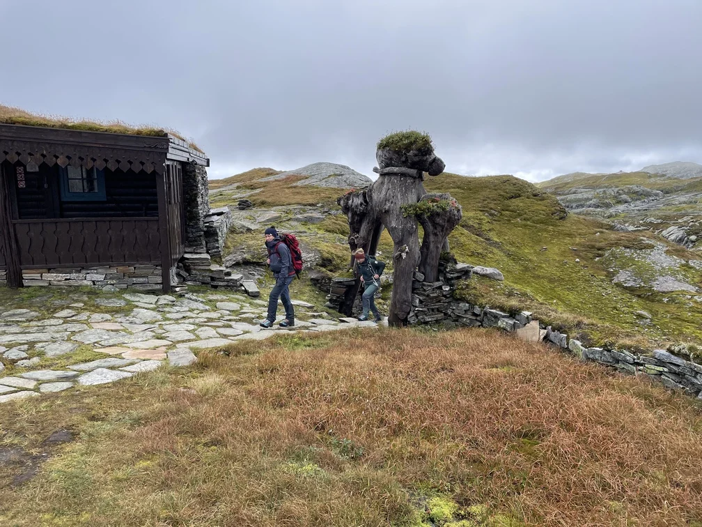
Mountain hike to Breidablik (1162 m) from Fitjadalen
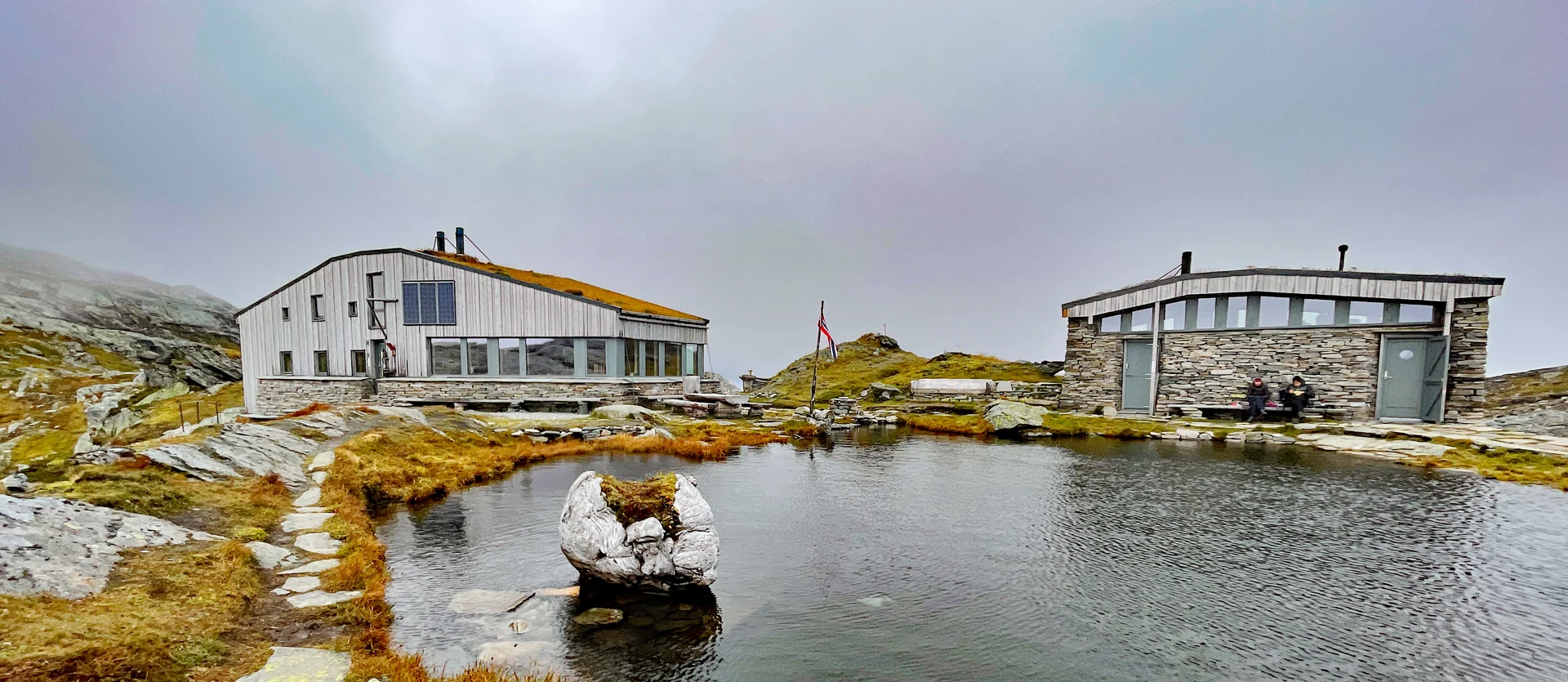
Fjelltur til Breidablik (1162 moh) fra Fitjadalen
Photo: Admin

The GPX Track is for guidance only and may contain errors. Use at your own risk.
– always check maps, weather and conditions before your trip.

Access

Approximately 1 hour 33 minutes (88.0 km) drive from Bergen city center.

Parking

Large parking lot at the start. Toll road. Payment for a single trip NOK 40,- Payment on site with Vipps.

Description

Fra parkeringen følger du grusveien innover i dalen. Like etter bro nr 2 er det skilt merket 'Breidablik'. Nå går turen over på sti og oppstigningen starter. Følg tydelig sti gjennom skogen. Den svinger seg bratt oppover Håsetedalen til du kommer over tregrensen. Når du har passert tregrensen kommer du  til stølen Håsete hvor det er stikryss. Her skal du gå til venstre. Nå blir det åpent fjellterreng og New bratt oppstigning før det flater ut.

You can now see the mountain Skrott on your right and you will come to a new crossroads. Here you should go straight ahead via Vindskjersleitet. Now just follow the T-marked path straight ahead on the left side of the lakes until you arrive at the cabin.

For an alternative route, you can walk up the mountain Skrott, over the ridge of the mountain and down to the cabin.

Have a good trip!

Information

Length: Approximately 11 km round trip.
Time: Approximately 6 hours round trip.
Season: June - Oct.
Elevation gain: Approximately 800 meters.
Grading: Demanding

Processing elevation data.. .

You use GPX files that you download from our server 100% at your own risk.

Accommodation nearby

Hiking nearby