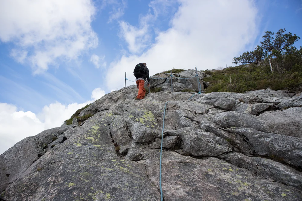
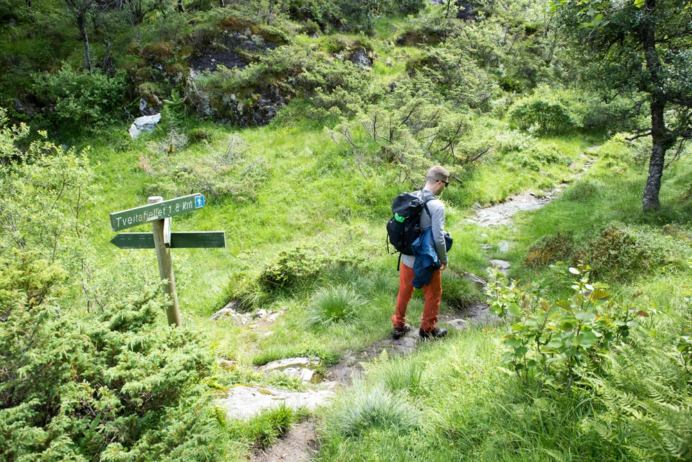
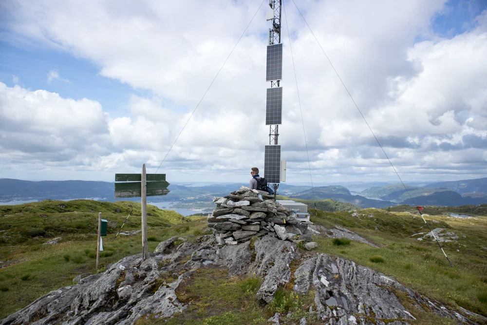
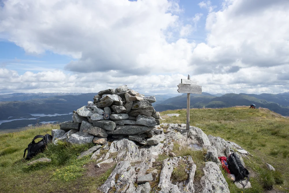
Åsheimveten (477 m) and Tveitafjellet (556 m) Osterøy
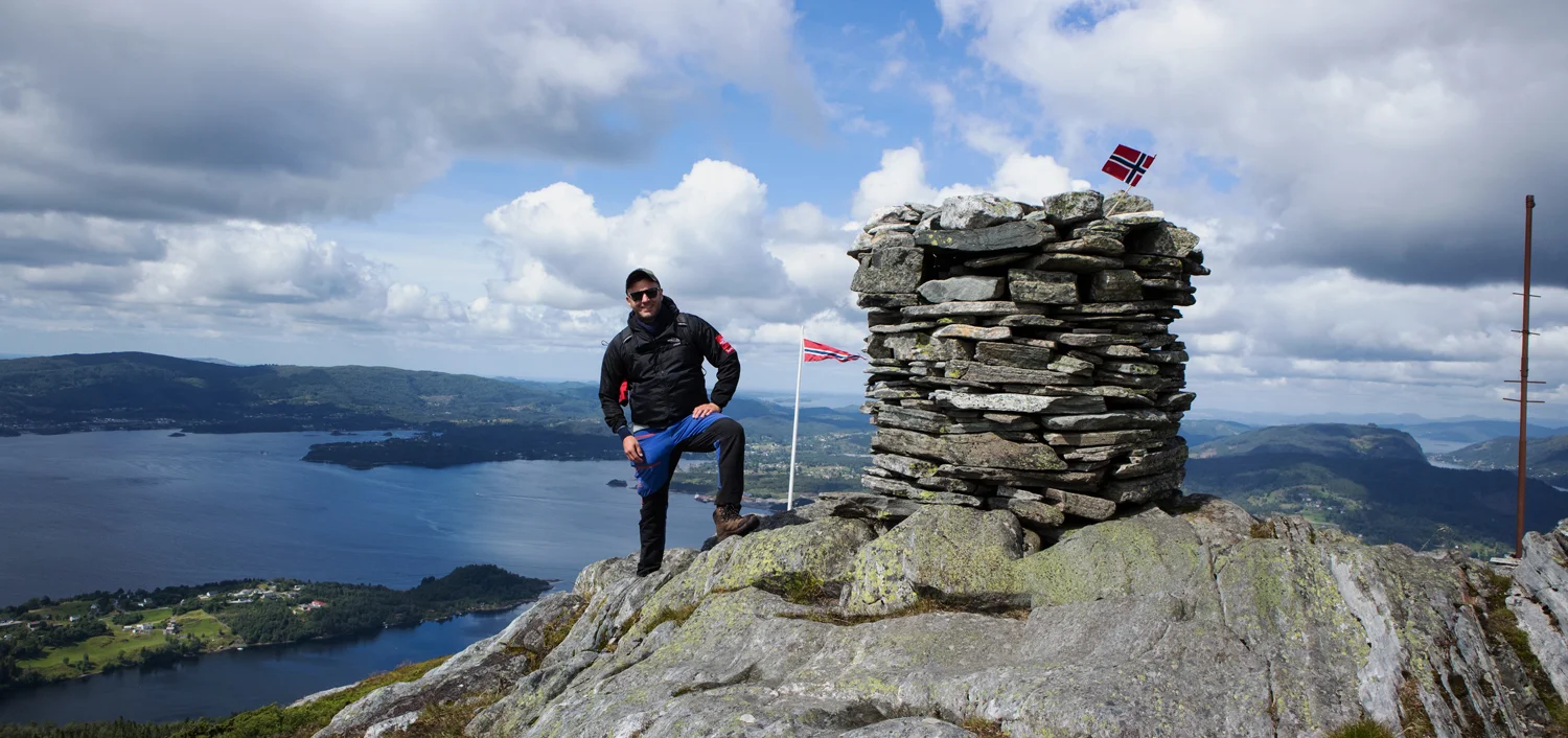
Photo: Admin

Processing elevation data.. .
You use GPX files that you download from our server 100% at your own risk.
Accommodation nearby


Hiking nearby

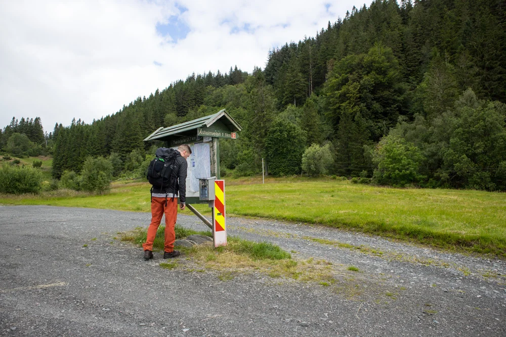
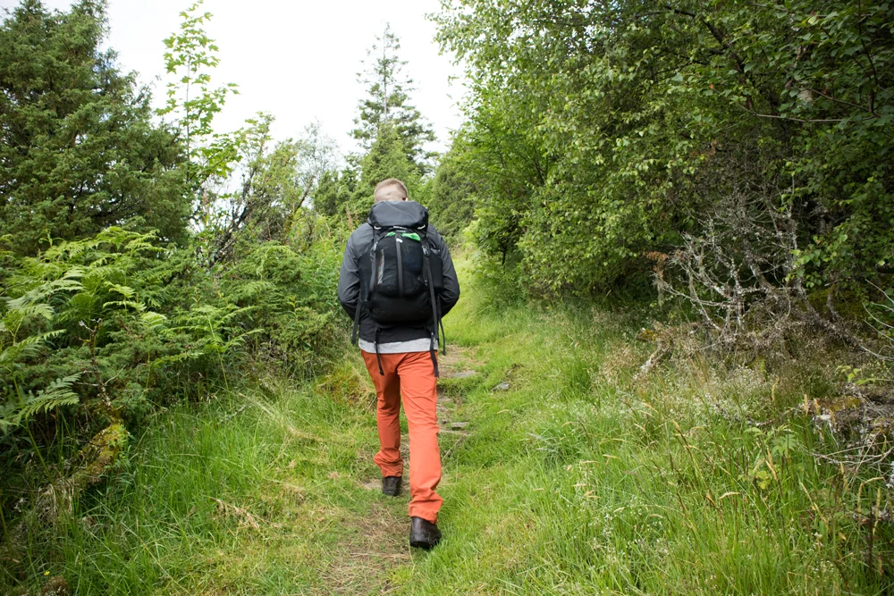
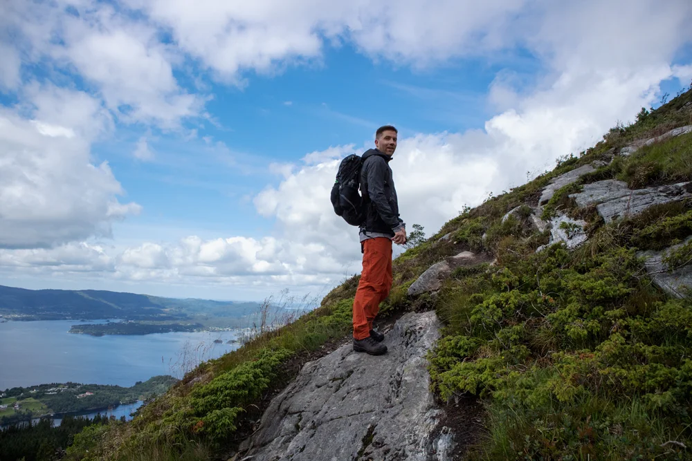
Mountain hike to Åsheimveten (477 m above sea level) from Fjordslottet Hotel - Osterøy, Vestland
Premium
Distance
0.08 Km


Hot
Distance
7.86 Km


Distance
10.68 Km

Distance
11.04 Km

