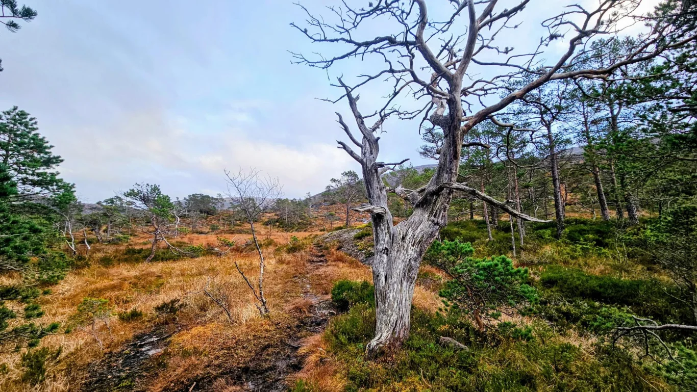
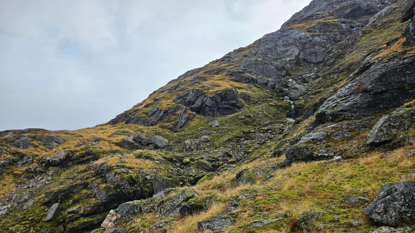
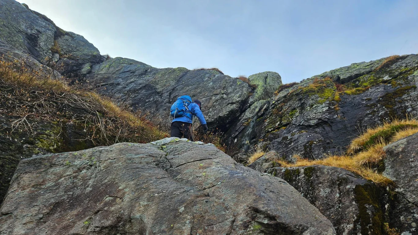
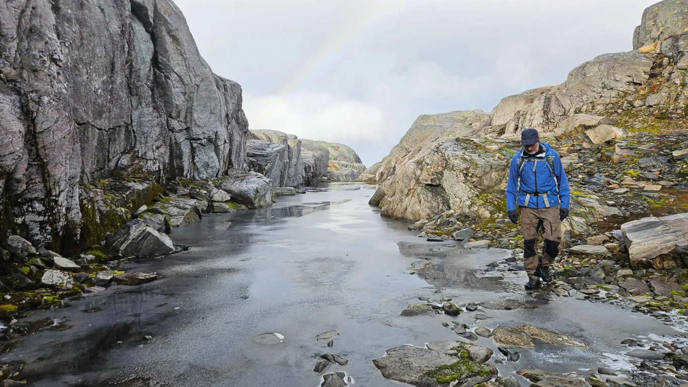
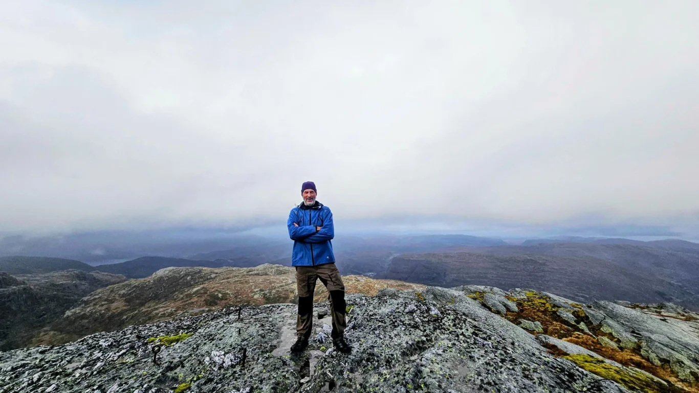
Mountain hike to Storagrønova (1016 m) in Kvamskogen
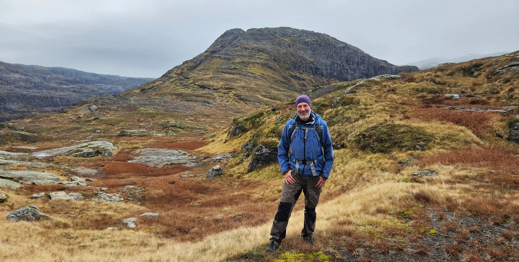
The GPX Track is for guidance only and may contain errors. Use at your own risk.
– always check maps, weather and conditions before your trip.
Access
Parking
Description
This is an exciting mountain hike to a little-visited peak in Kvamskogen!
Park in a large parking space along the main road just before the long hill up towards the waterfall Bratte (Brudesløret). Cross the main road and turn onto the forest road on the right just before the bridge. Follow the road and turn off onto a forest road that leads up to the right; this eventually turns into a good path through marshy forest terrain. At about 450 meters above sea level, the surface becomes more mountainous. From here there are small cairns, and the path takes you in narrow streambeds up to Setrabotnen. Continue along the stone corral and round to the right up onto the plateau. Keep to the left side of the water and walk in a southeasterly direction – here large marshes and open mountains open up, with Storagrønova as a prominent landmark in the background. The path disappears; walk towards Storagrønova on the left.
You will soon catch another Track /animal Track . Follow this on the left side of Storagrønova, first down through a ravine and then a few hundred meters along the mountainside. Then turn steeply up to the right through another ravine (some small cairns). If you continue around, you will enter the back of the mountain.
Here there is a short section with light scrambling before you reach the plateau. Continue north towards the edge and the summit. Return the same way.