
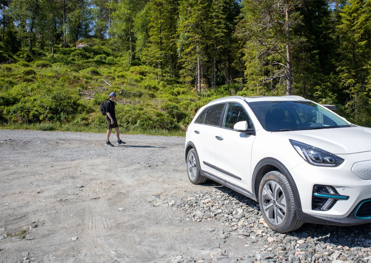
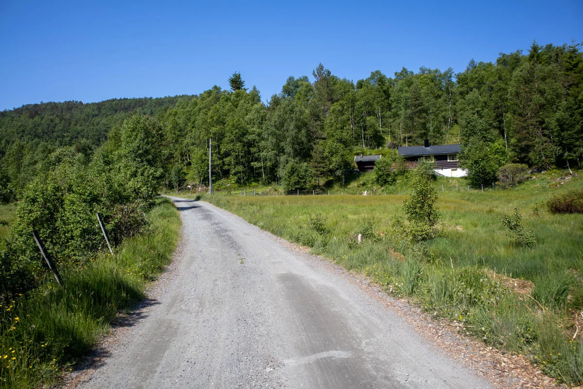
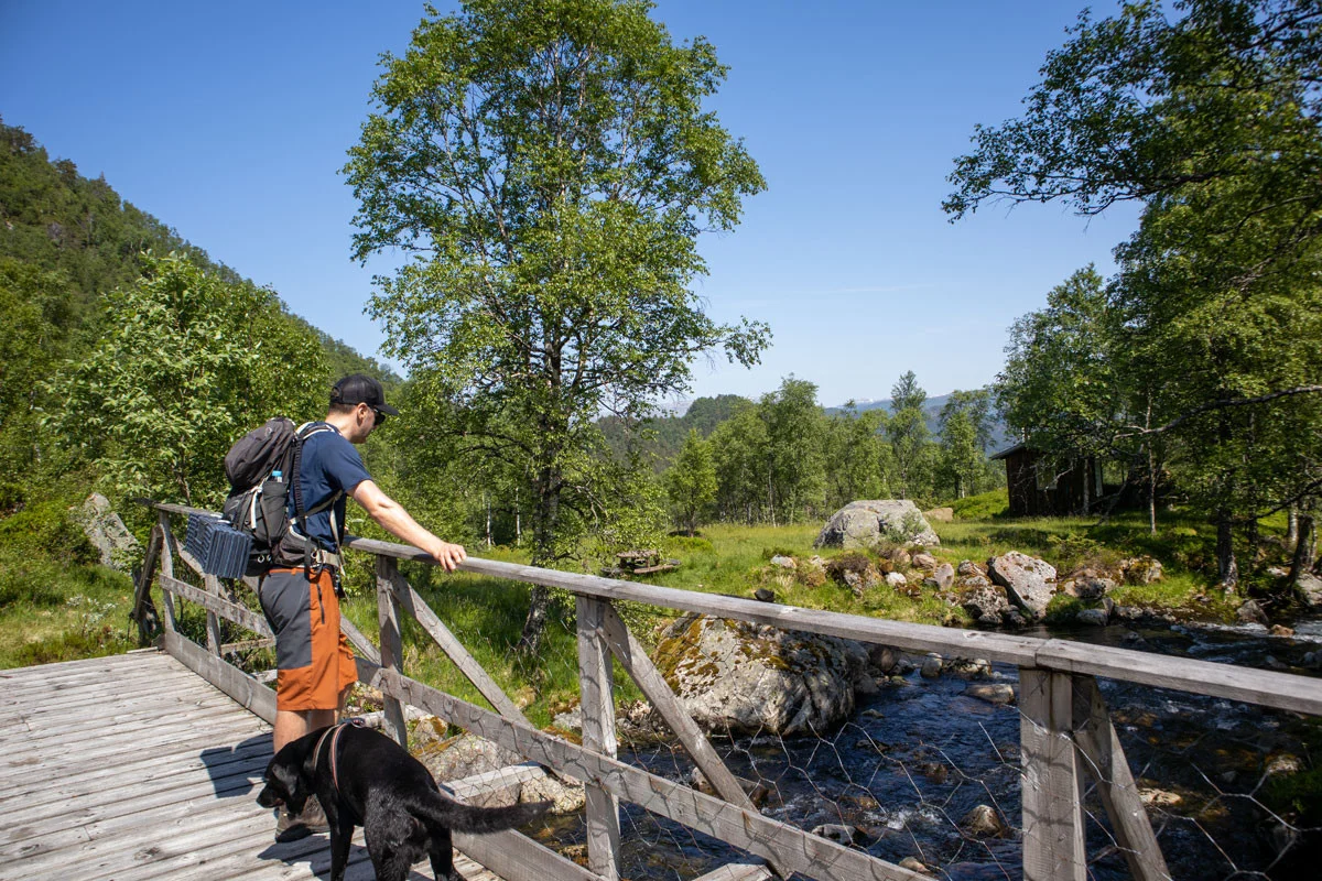
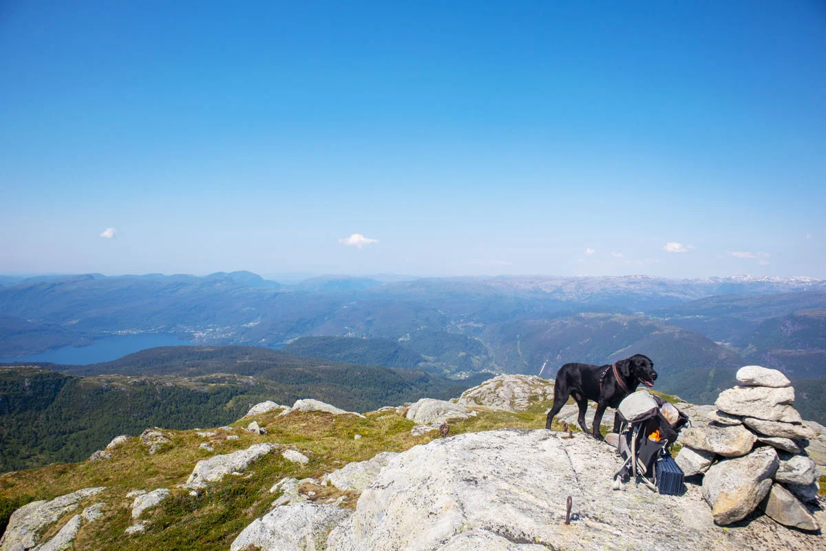
Mountain hike to Tindafjellet (907 m) in Samnanger
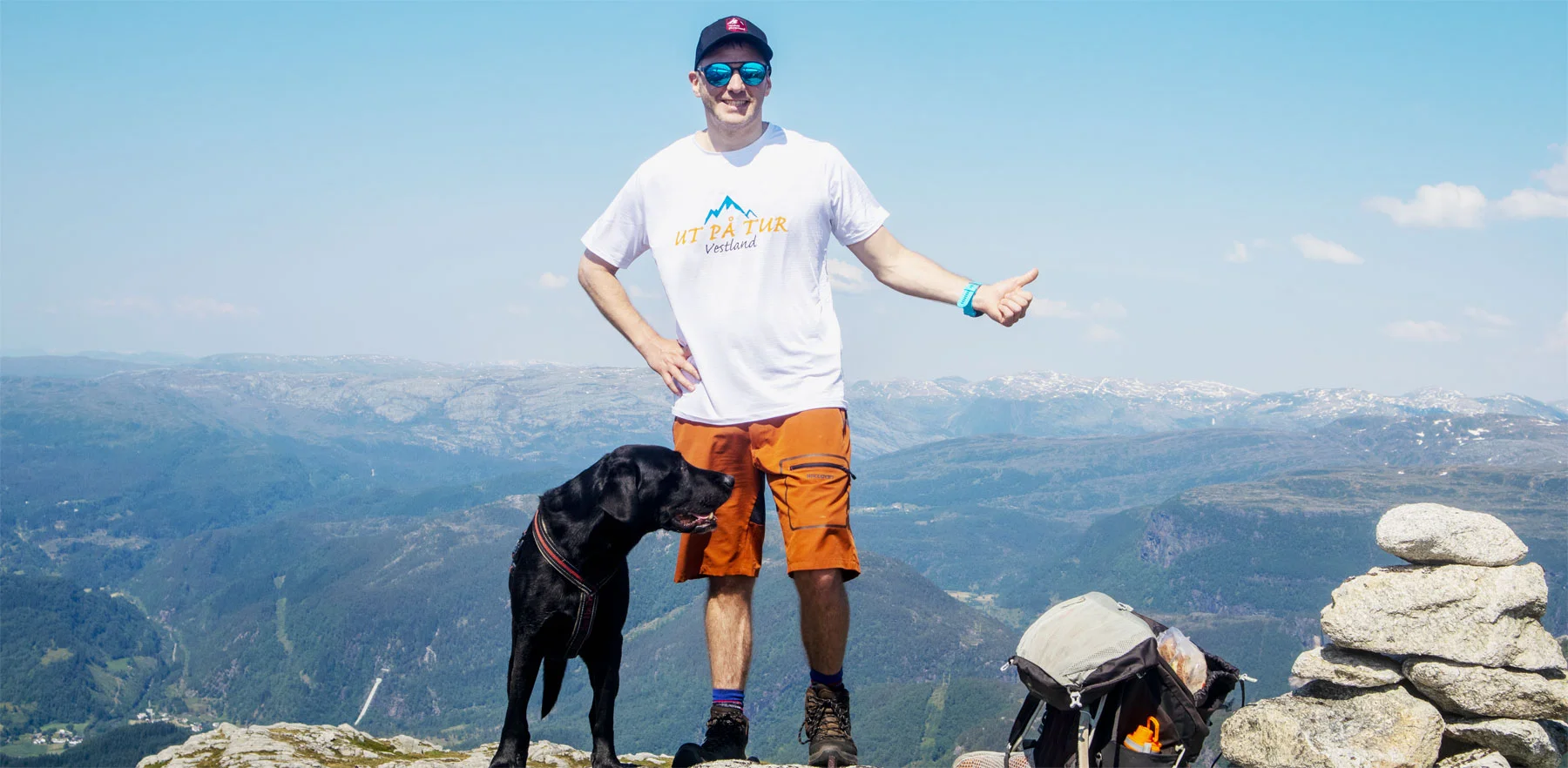
Fjelltur til Tindafjellet (907 moh) i Samnanger
Photo: Admin

The GPX Track is for guidance only and may contain errors. Use at your own risk.
– always check maps, weather and conditions before your trip.

Access

Approximately 51 min (51.5 km) drive from Bergen city center.

Parking

Parking space at Holmane. NOK 30,- per day. Can be paid with VIPPS

Description

Start at Holmane parking. Follow the gravel road inland (the one you drove up).
Go right at the first crossroads and continue southwest. You will now come to a hunting lodge. Here you cross the bridge. Now everything called road and path ends. There are no markings either.

Go into the forest to the southwest. Follow the stream that runs down through the forest. In some places it may be dry, so follow it. The stream runs through boulders and bogs. But it is entirely possible to follow it. There are also some deer tracks parallel to the stream. When the forest thins out you come to a small water, and you can see the ridge of Tindafjellet. Now you just have to follow the ridge towards the top. There are some cleft sections, but nothing that is demanding.  

You will first reach the mini cairn. This is where you will find the most beautiful view.
If you want to go to the top of the mountain, you have to continue about 300 meters inland.

Recommend taking the return route the same way.  

NB: This is a demanding hike that goes off-trail, and it can be challenging to find your way. Please use a map and compass.

Information

Length: Approximately 13 km round trip.
Time: Approximately 5-6 hours round trip.
Elevation gain: 782 meters.
Season: May-October
Grading: Demanding

Processing elevation data.. .

You use GPX files that you download from our server 100% at your own risk.

Accommodation nearby

Hiking nearby