
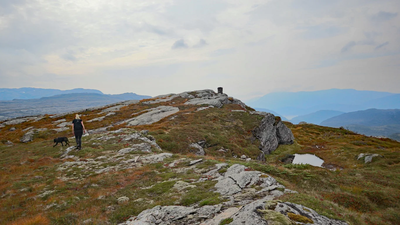
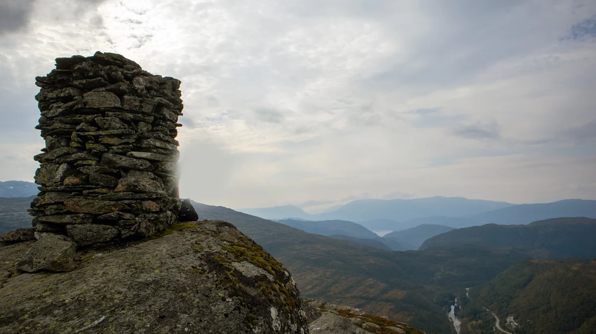
Mountain hike to Rabalhei (699 m) in Kvamskogen
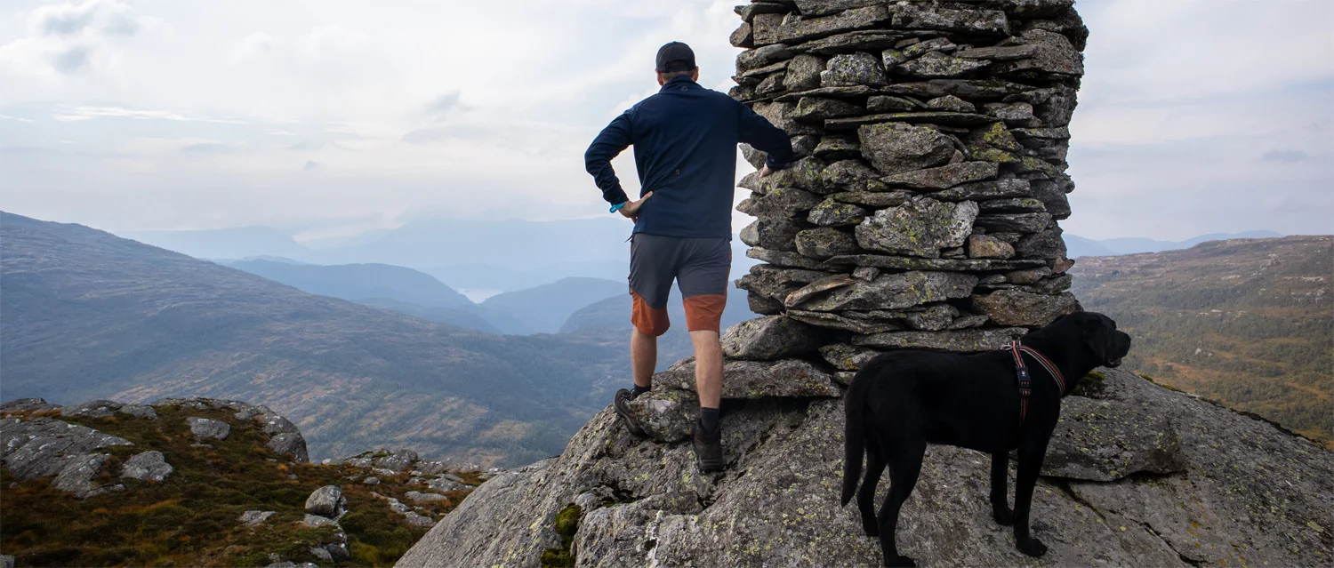
Fjelltur til Rabalhei (699 moh) på Kvamskogen
Photo: Admin

The GPX Track is for guidance only and may contain errors. Use at your own risk.
– always check maps, weather and conditions before your trip.

Access

Approximately 59 min (58.7 km) drive from Bergen city center.

Parking

Gratis Parking   like før Teigabergtunnelen på høyre side.

Description

Start at the parking lot just before the Teigaberg Tunnel. Follow the road to Kvamseter Lodge. Go past the hotel and onto the gravel road on the right. Go straight ahead onto the path at the start of the left turn. It is somewhat unclear, so follow.

Follow the path along Eikedalsvatnet. Then you follow the path along the Tordalselva River to the bridge. Cross the river to go around the cabin on the right. Here the path ends and you have to walk in the terrain.

Walk towards Rabalhei, which is to the northwest. At the beginning you walk through marshes and forest. When you get above the tree line the terrain becomes easier. Continue to the northwest until you see a marker stone. Walk a few hundred meters until you see the cairn.

Return the same way.

Information

Length: 8.8 km round trip
Time: Approximately 3-4 hours round trip
Elevation gain: 435 meters
Season: May - Oct
Grading: Demanding

Processing elevation data.. .

You use GPX files that you download from our server 100% at your own risk.

Accommodation nearby

Hiking nearby