
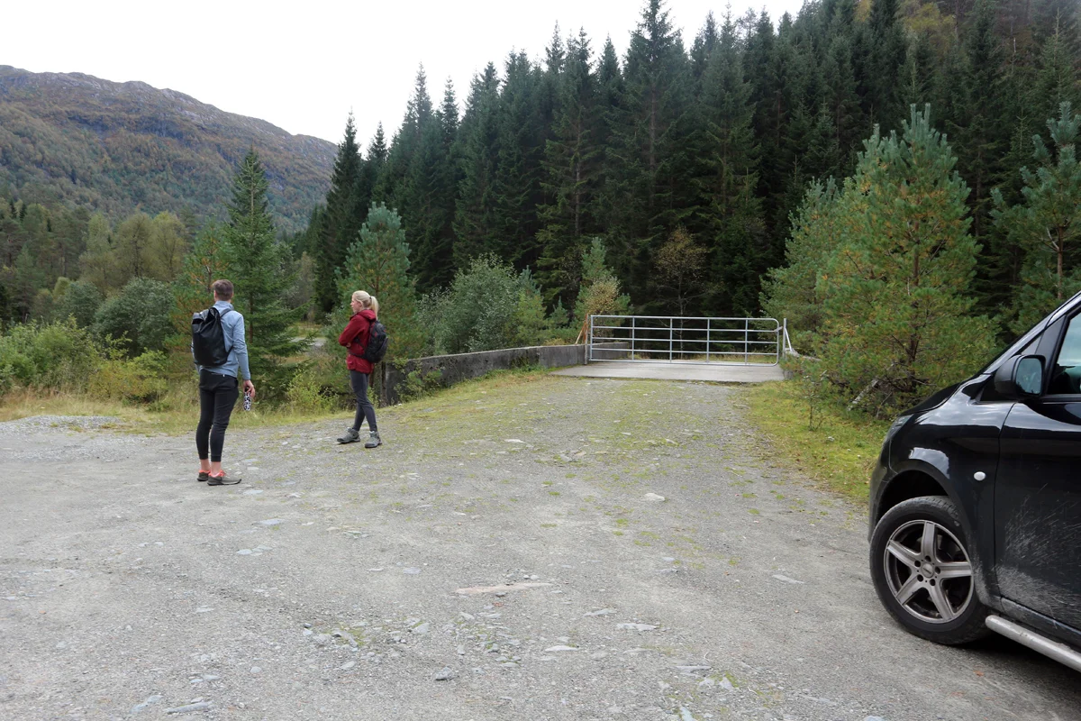
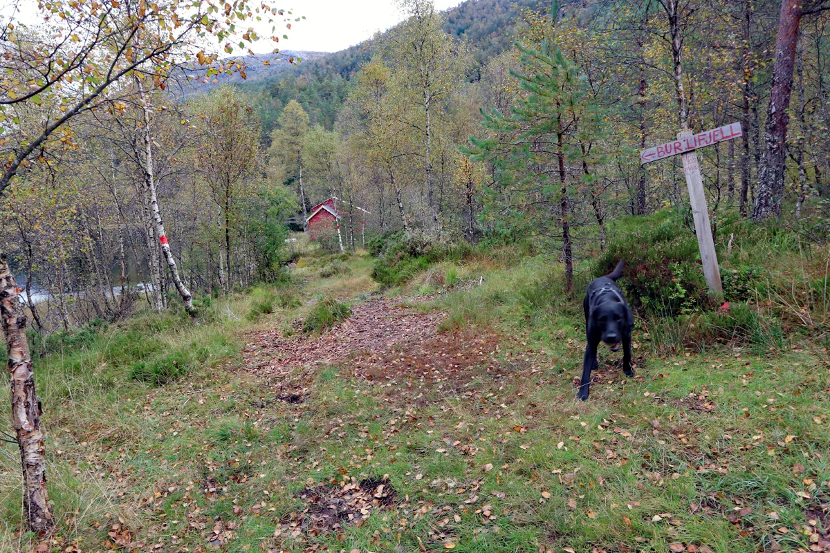
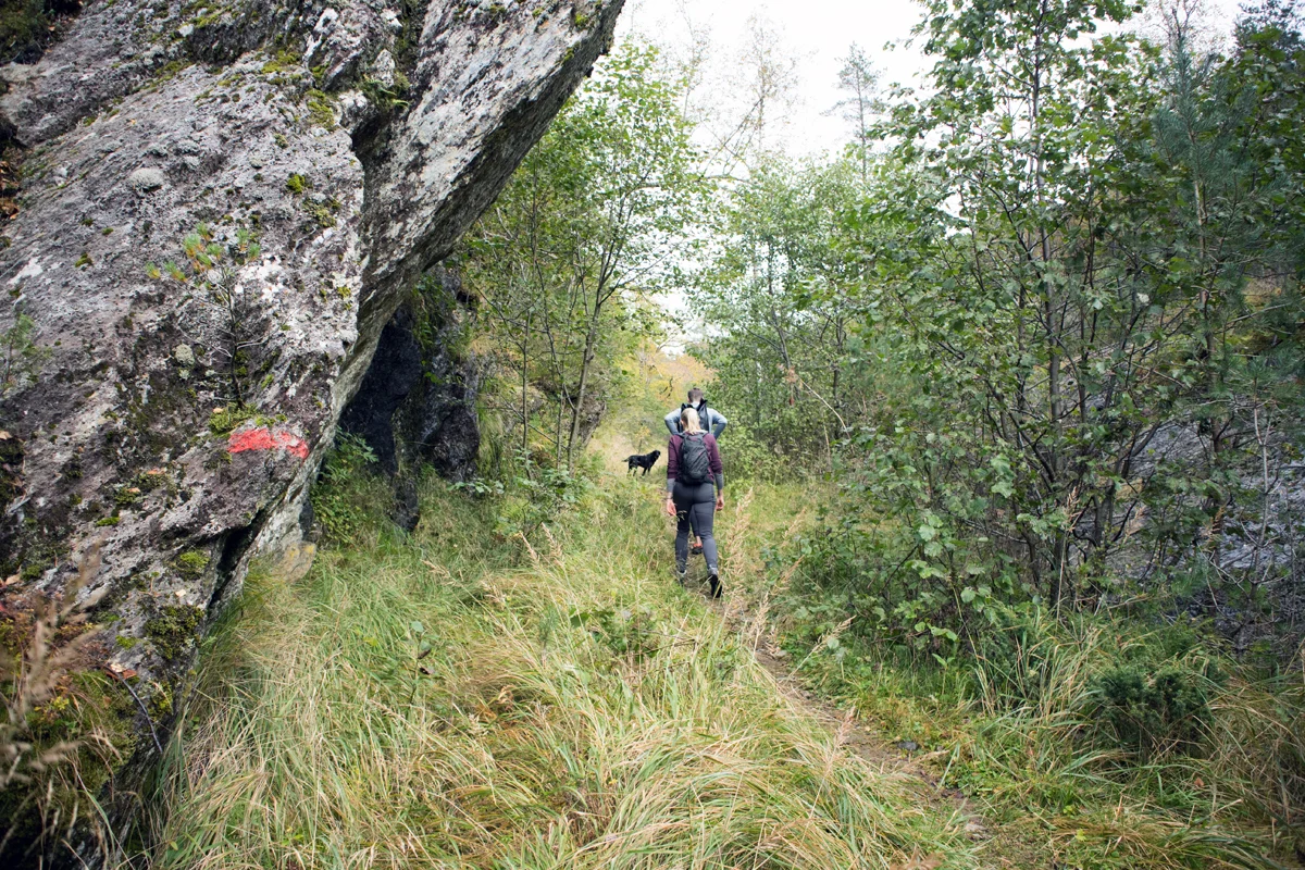
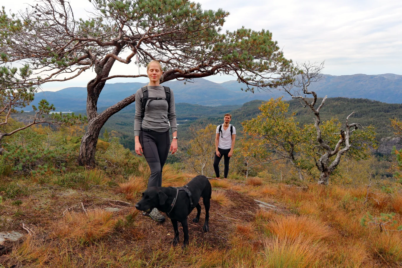
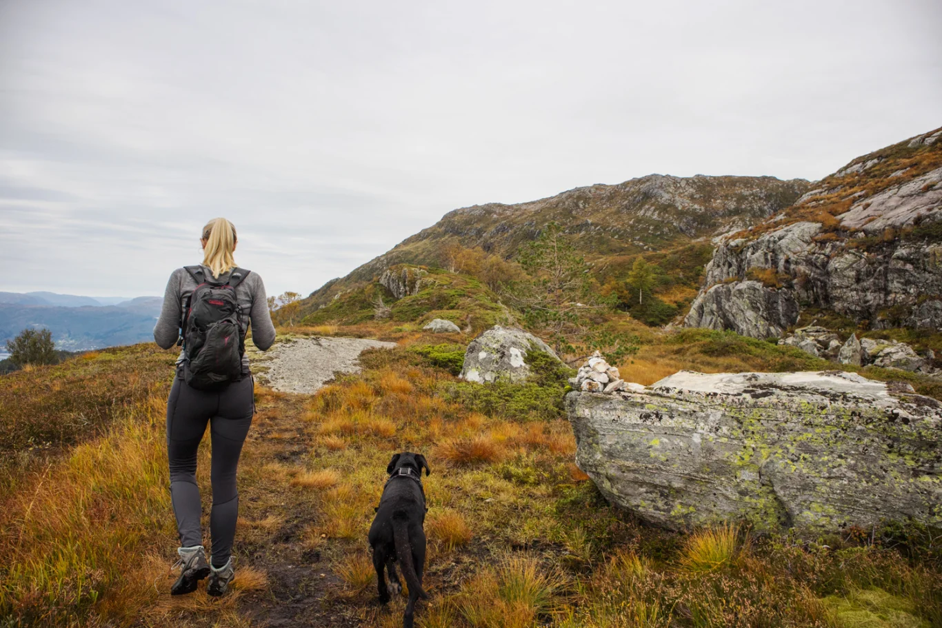
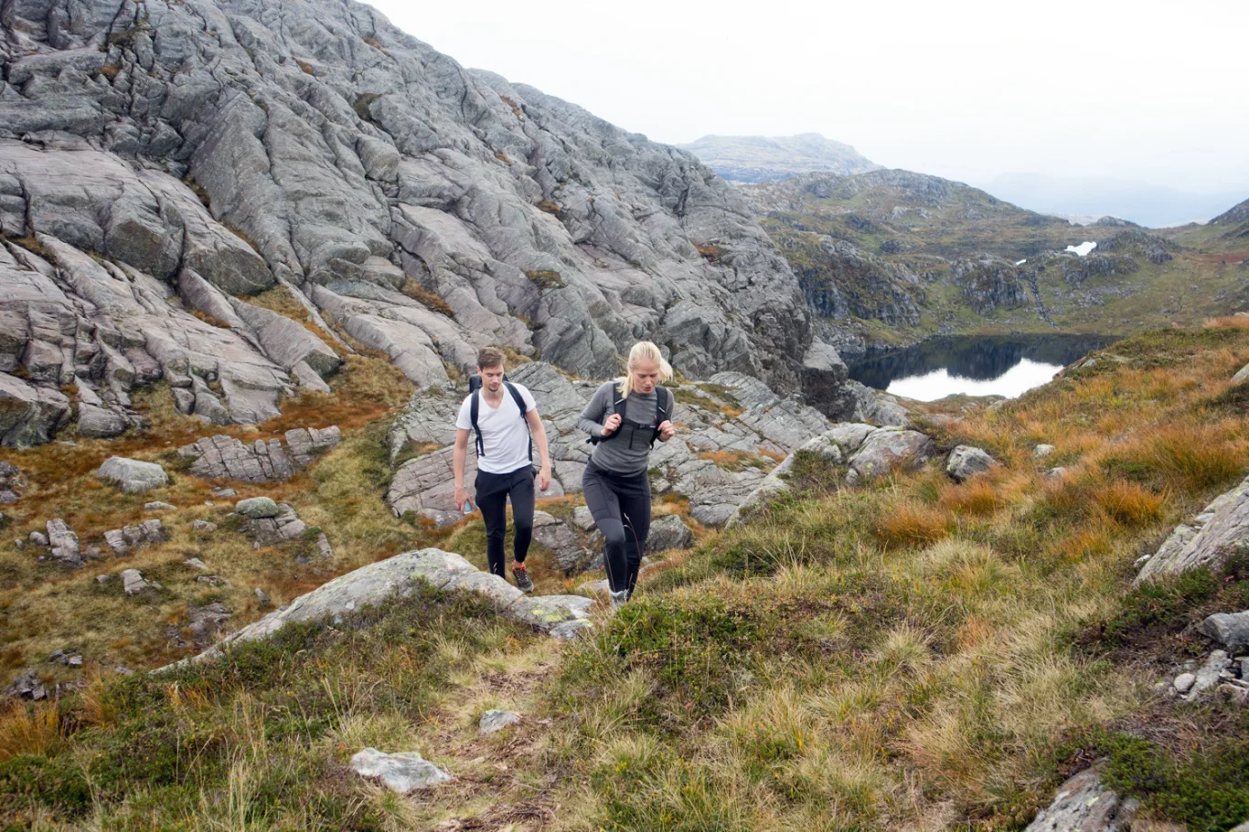
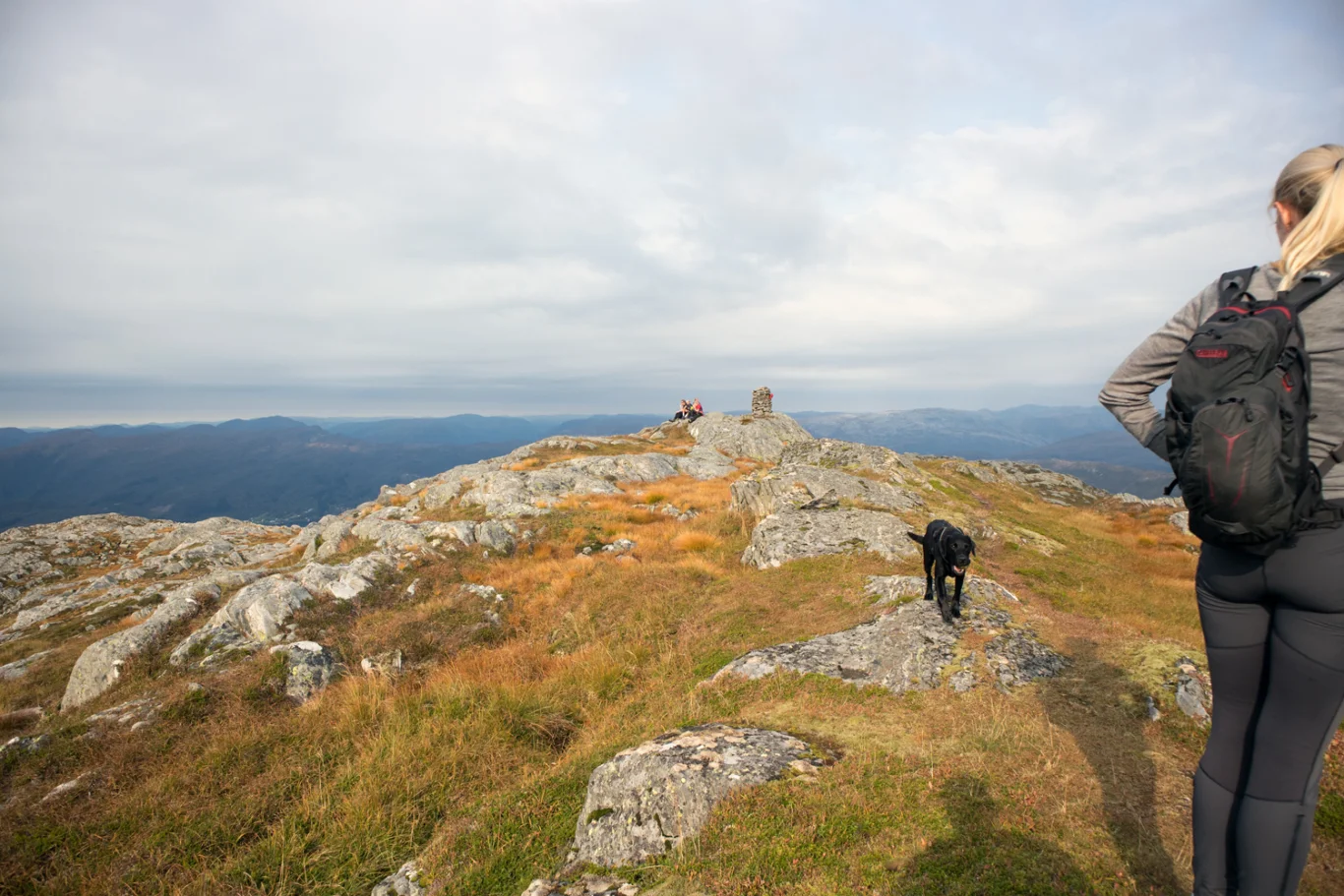
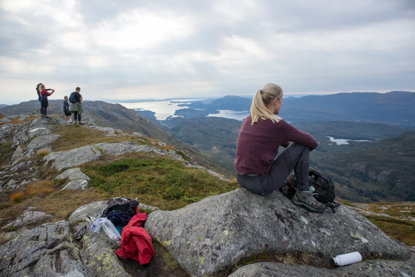
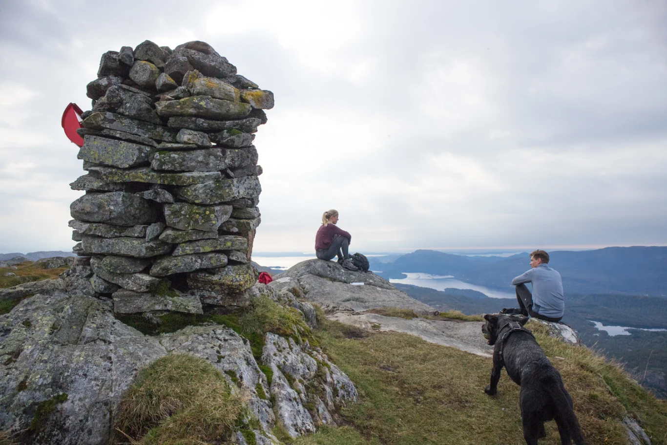
Burlifjellet (855 m) from Sævell in Fusa
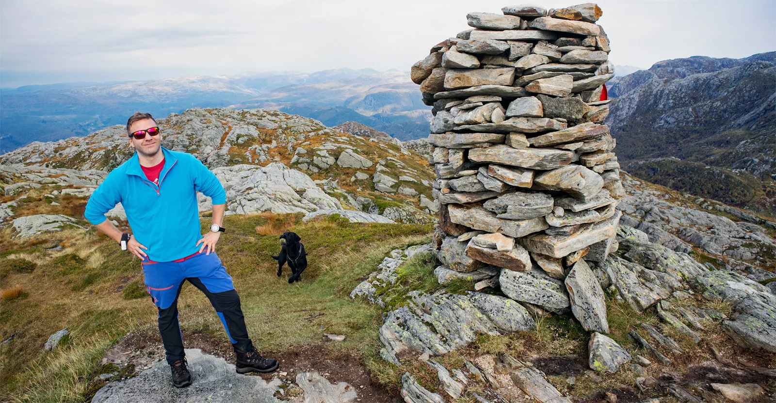
Burlifjellet (855 moh) fra Sævell i Fusa
Photo: Admin

The GPX Track is for guidance only and may contain errors. Use at your own risk.
– always check maps, weather and conditions before your trip.

Access

From Bergen you drive to Arna and further towards Samnanger. Drive past Bjørkheim cafe and further through the tunnels. When you have passed the Hagaås tunnel, drive right at the roundabout at Tysse. Drive the road towards Eikelandsosen through the Tyssetunnel and further along the Samnangerfjord. When you reach Sævill you drive left. (This road comes up abruptly so watch out). Follow the narrow road through the farmyard. This is a toll road where you have to pay. There is a toll booth after approx. 100 meters. Then drive further into the forest approx. 3 km until you reach the hiking park.

Parking

There is a parking lot right Next to the merchant's ford/water.

Description

From the parking lot, go over the bridge (with the barrier) and follow the forest road south with the river on your left. Follow the bend around the water to the sign marked 'Burlifjellet'. Here the road turns onto a path. Cross the river and walk past the cabin. Then follow the red marked path through the forest.

There is a steady climb all the way to above the tree line. Here it flattens out and the view gets better. Follow the path into the mountain along water and over streams. Towards the end the path turns north and it gets steep. The last sections flatten out and you follow the ridge north towards the summit cairn.

Burlifjellet has a panoramic view of the Samnangerfjord and you can see the eastern side of the Gullfjellsplatået, Sauafjellet and Svinningen. An angle where the familiar rock formations look completely different.

Go back the same way. There are many marshy areas so high hiking boots are recommended.

Have a good trip!

Information

Burlifjellet (855 m.)
Length round trip: Approximately 10 km.
Time 3-4 hours round trip.
Season: Spring, summer and autumn.
Grading: Demanding

Processing elevation data.. .

You use GPX files that you download from our server 100% at your own risk.

Accommodation nearby

Hiking nearby