The GPX track is for guidance only and may contain errors. Use at your own risk.
– always check maps, weather and conditions before your trip.
From Bergen you drive to Arna and continue towards Samnanger. Drive past Bjørkheim cafe and continue through the tunnels. When you have passed the Hagaås tunnel, drive right at the roundabout at Tysse. Drive the road towards Eikelandsosen through the Tysse tunnel and continue along the Samnangerfjord. Just before the tunnel, drive left at the sign 'Skardsnuten / Hafskor'. Drive down the hill and turn left at the sign 'Skardsnuten'.
From the parking lot, go through the gate and follow the gravel road into the valley.
Follow the road up the hill and keep left. After approx. 1 km it flattens out. Follow the road around the bend to the right where you will see Hafskorvatnet (left side). Follow the road along the water through the gate. After a few hundred metres you will see a forest road that goes steeply up to the right.
Follow the forest road up the hill and turn right at the crossroads. Follow the forest road to the end where the hike continues on a path. You will see red marks in the trees. Follow the path west across the bog. Just after the bog the path goes steeply up to Skarsnuten on the right. Follow the path around the back to the top.
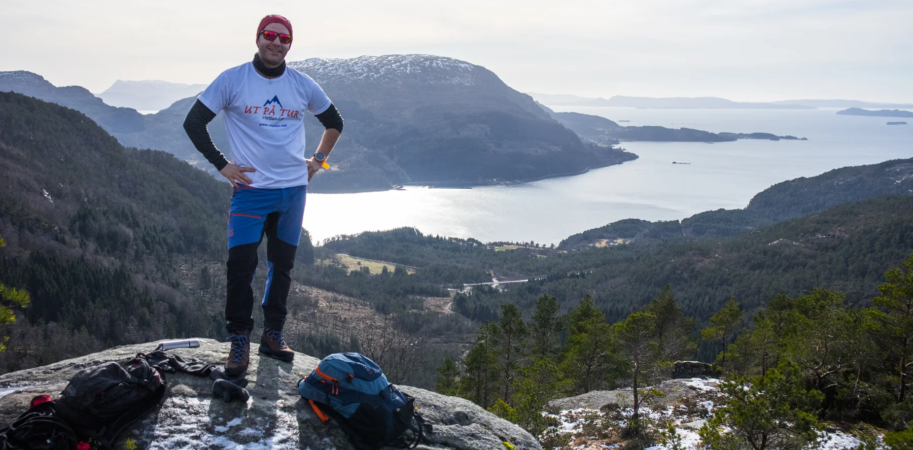
There is no cairn at the top, but the view is impressive. Views of nearby mountains, towards Hafskor and beyond the Eikelandsfjord.
Return the same way.
Good luck!