Fusafjellet (666 m) from Strandvik
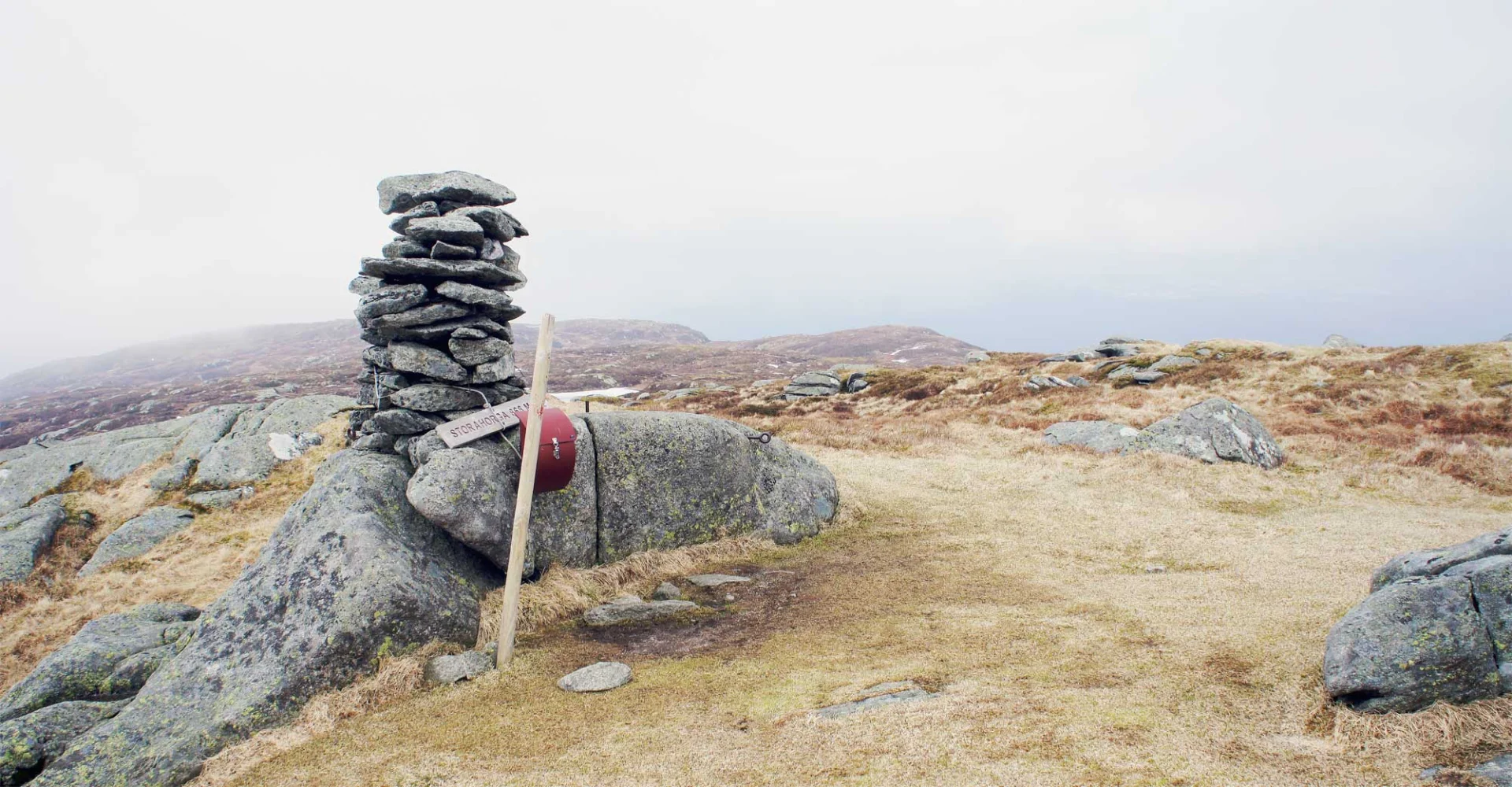
Fusafjellet (666 moh) fra Strandvik
Photo: Admin

The GPX Track is for guidance only and may contain errors. Use at your own risk.
– always check maps, weather and conditions before your trip.

Access

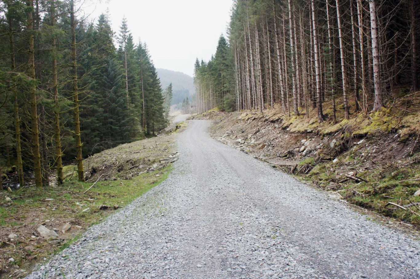
From Nesttun you drive to Os and then on to Hatvik. Take the ferry across to Fusa and drive on to Strandvik. You can park in the center of Strandvik or drive along the post road/gravel road all the way to the shooting range where there is also good parking. This makes the trip a few km shorter. Activity at the shooting range is signaled with a red flag.

Parking

Good parking in Strandvik or you can drive all the way to the shooting range. That will make the trip shorter.

Description

Storehorga is the highest point on Fusafjellet.  

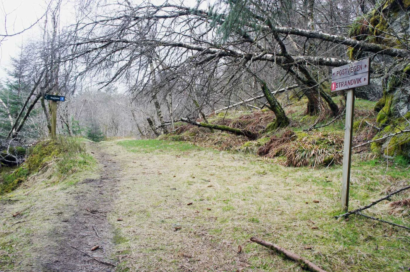
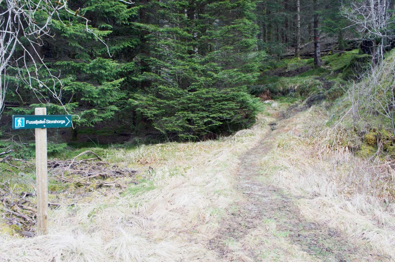
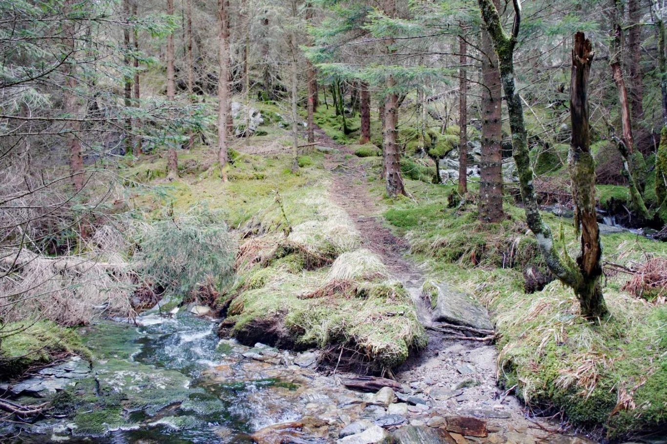
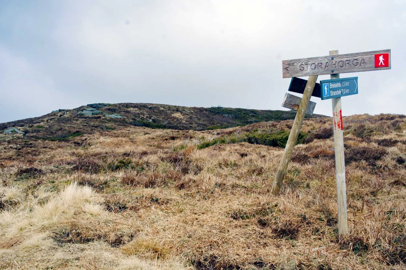
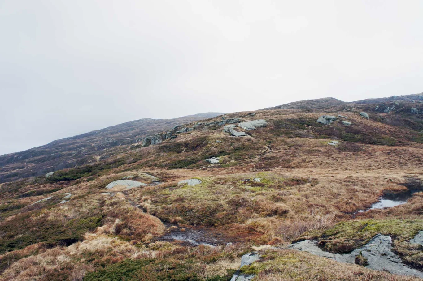
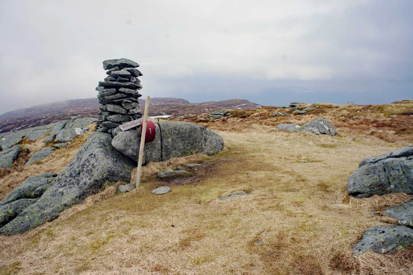
From the shooting range, the walk begins on a tractor road and goes up some steep inclines to the crossroads at Ludden. Here is a mailbox with a book. Continue and turn right at the sign marked 'Storehorga'. Follow the path through the forest until you reach the mountain plateau. Here is open and beautiful mountain terrain. Follow the path all the way to the cairn peak. It is well signposted all the way.

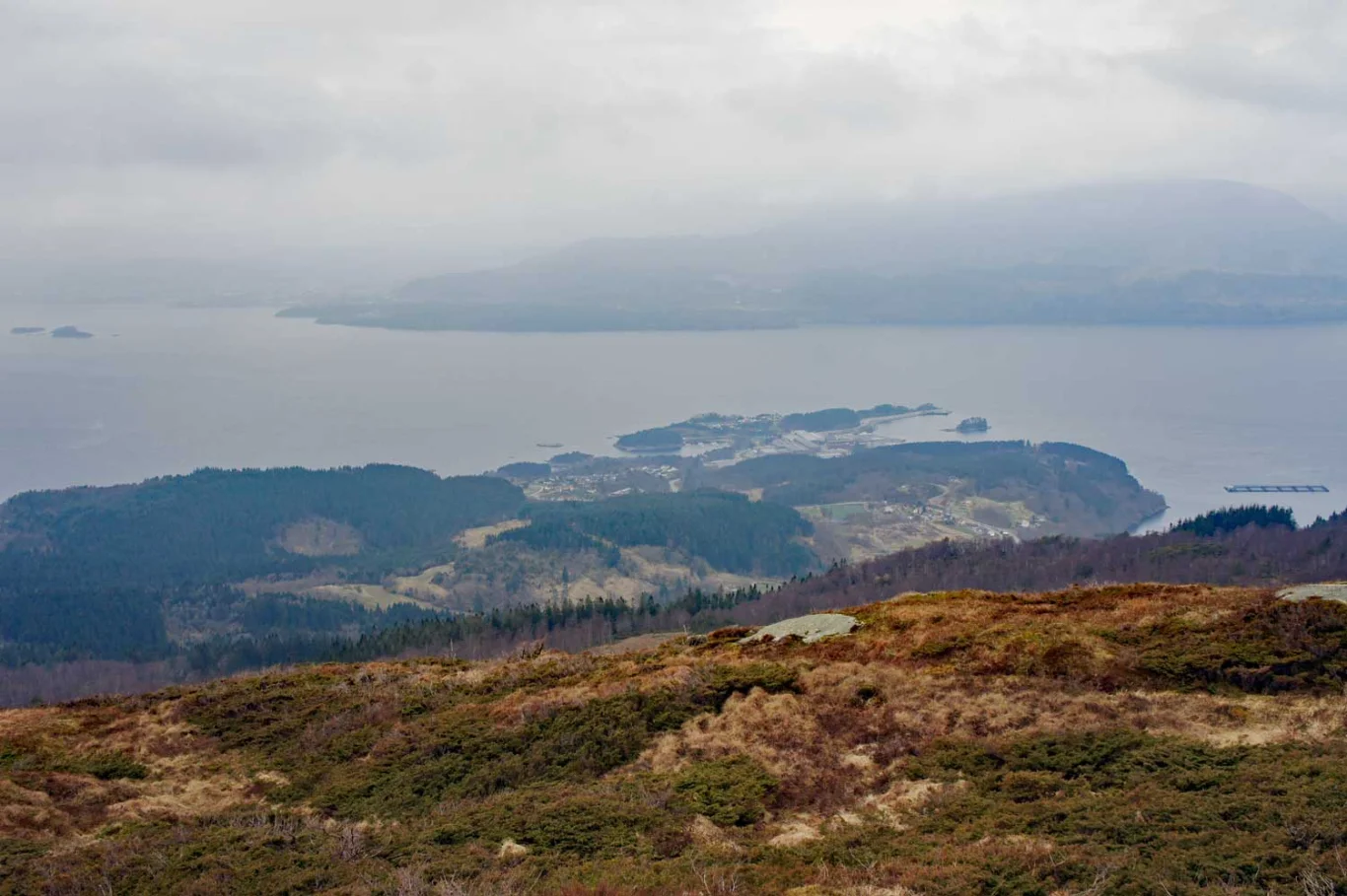
The reward is a great view of the Fusafjord.

Information

Storehorga 666 m.
Length: approx. 13 km round trip
Time: about 4 hours round trip
Season: All year round. Some steep sections. Slippery/slippery in some places.
Type: Suitable for family trips. Not strollers.
Grading: Medium

Processing elevation data.. .

You use GPX files that you download from our server 100% at your own risk.

Accommodation nearby

Hiking nearby