The GPX Track is for guidance only and may contain errors. Use at your own risk.
– always check maps, weather and conditions before your trip.

Access

From Bergen you drive to Os and then towards Hatvik. Take the ferry across the fjord to Venjaneset (Fusa). From the ferry port you follow Venjanesvegen to the intersection at Fusatun (Spar store). Drive in and park here.

Parking

Free parking at Fusatun. But be sure to park a little away from the store so you don't take up customer parking spaces.  

Description

From Fusatun, follow the road for about 100 meters towards Strandvik. On the other side, you will see a sign marked 'Bogafjellet'. Cross the road and go through the gate. Follow the forest road into the forest. At the crossroads, turn right at the sign 'Bogafjellet'. Follow the forest road further south. After a while, the forest road turns into a path and the climb becomes steeper. Follow the path south and a little east until you come to a large bog.

Now the view starts to improve. The last part of the hike goes steeply up to the top and you get above the tree line.

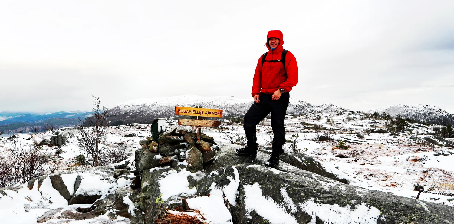
At the top there is a small mini cairn, sign and mailbox with a book.
There is a nice view of the Bjørnafjord and you can see the Tysnessåta River and the windmills at Fitjar in the Distance .

Return the same way. For a nice round trip you can follow the path further north-east (See GPS Track below)

Have a good trip!

Information

Bogafjellet (438 m.)
Round trip length: approximately 10 km.
Time: about 3-4 hours.
Season: Spring, summer, autumn. Winter.
Grading: Medium

Processing elevation data.. .

You use GPX files that you download from our server 100% at your own risk.

Accommodation nearby

Hiking nearby