
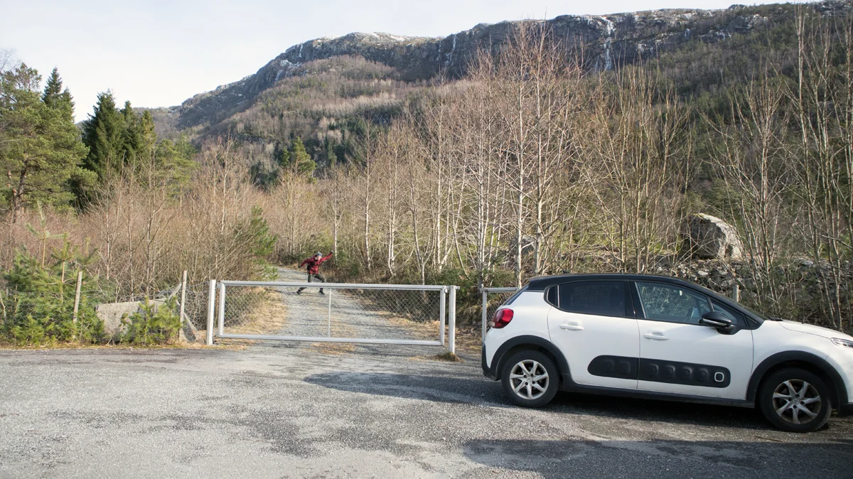
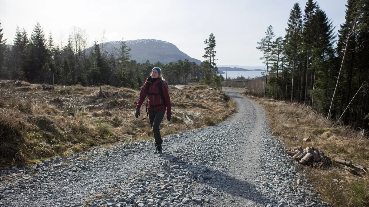
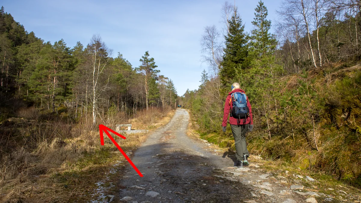
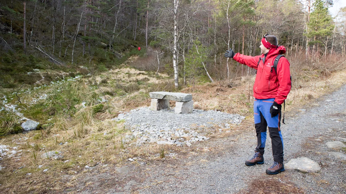
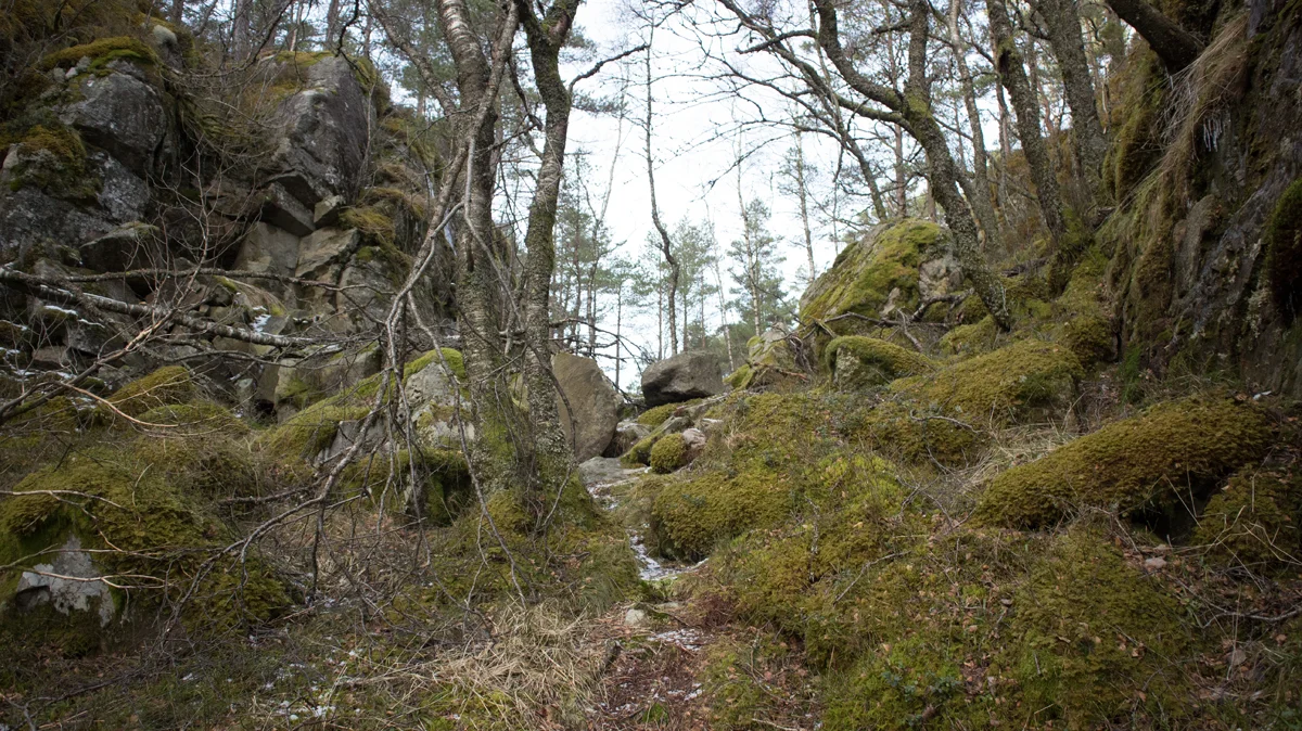
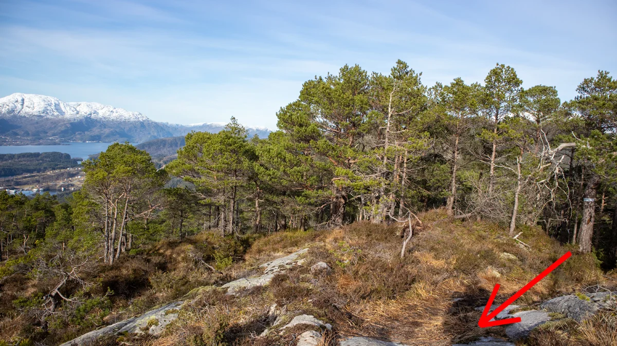
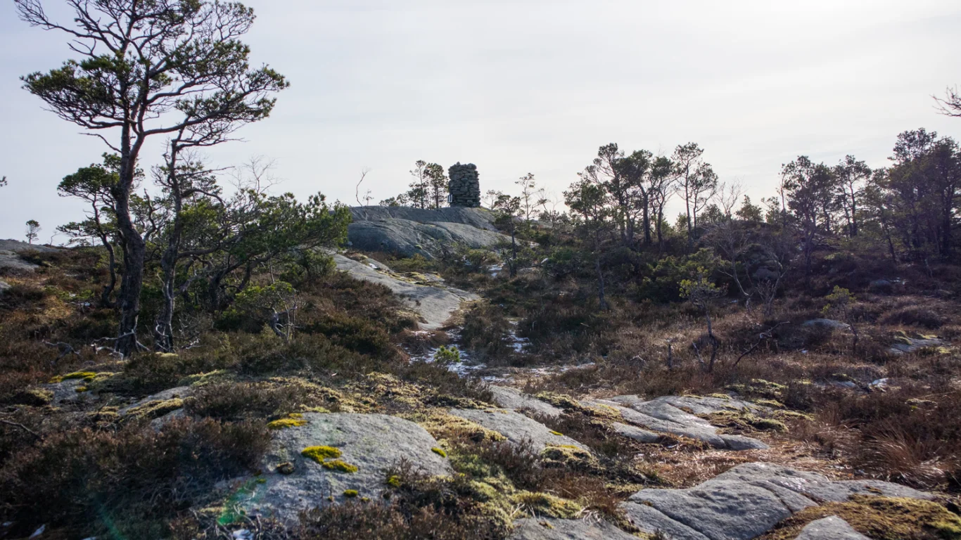
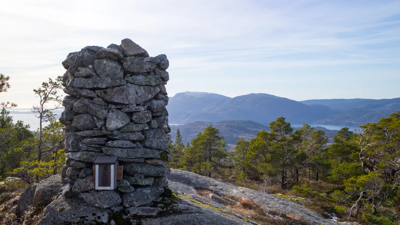
Beljaråsen (395 m) from Hafskor in Fusa
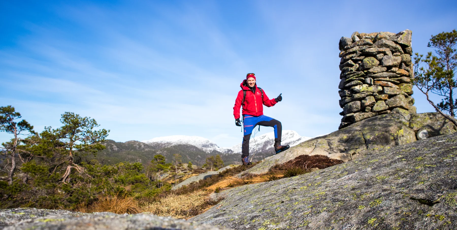
Beljaråsen (395 moh) fra Hafskor i Fusa
Photo: Admin

The GPX Track is for guidance only and may contain errors. Use at your own risk.
– always check maps, weather and conditions before your trip.

Access

From Bergen you drive to Arna and continue towards Samnanger. Drive past Bjørkheim cafe and continue through the tunnels. When you have passed the Hagaås tunnel, drive right at the roundabout at Tysse. Drive the road towards Eikelandsosen through the Tysse tunnel and continue along the Samnangerfjord. Just before the tunnel, drive left at the sign 'Skardsnuten / Hafskor'. Drive down the hill and turn left at the sign 'Skardsnuten'.

Parking

Free tour parking at Hafskor.

Description

From the parking lot, go through the gate and follow the gravel road into the valley.

Follow the road up the hill and keep left. After about 1 km it flattens out and you will see a stone bench. (It is stone bench no. 2 along the road). Behind this a path goes up to the left. From here it is marked with red and white plastic bands in the trees to the top.

Just follow the path north along the mountain where after a while it rounds up the back and leads southwest towards the summit.

There is a large and beautiful cairn at the top. There is also a mailbox with a book. The view is not as good as at Skarsnuten. But there is a nice view to the north-west where you get to see Svinningen and Gullfjellet from new angles.

Return the same way. Have a nice trip!

Information

Beljaråsen (395 m. above sea level)
Length round trip approximately 3.8 km.
Time: about 1-2 hours round trip.
Season: All year round if there is not too much snow. Winter is cold.
Grading: Medium

Processing elevation data.. .

You use GPX files that you download from our server 100% at your own risk.

Accommodation nearby

Hiking nearby