The GPX Track is for guidance only and may contain errors. Use at your own risk.
– always check maps, weather and conditions before your trip.
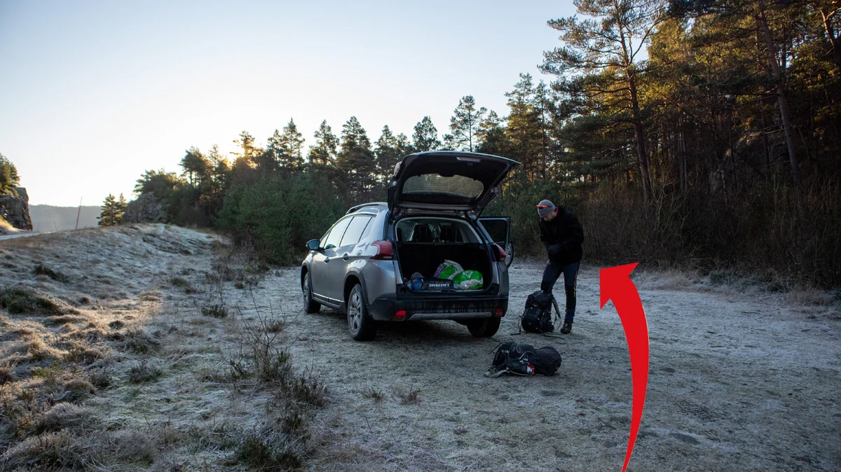
From Bergen you drive to Arna and further towards Samnanger. Drive past Bjørkheim cafe and further through the tunnels. When you have passed the Hagaås tunnel, drive right at the roundabout at Tysse. Drive the road towards Eikelandsosen through the Tysse tunnel and further along the Samnangerfjord. On this long stretch before it turns left down towards the Moshovda tunnel, drive right and park. This parking lot is not signposted and it comes on suddenly, so it is recommended to follow your GPS.
It is approximately 1 hour 10 minutes drive from Bergen.
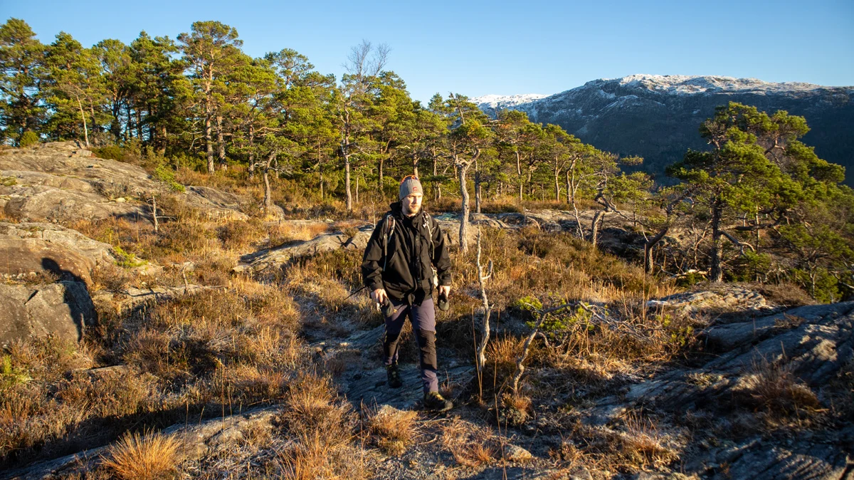
This is a hike that goes off the marked trail. There are many animal tracks and the trail is unclear.
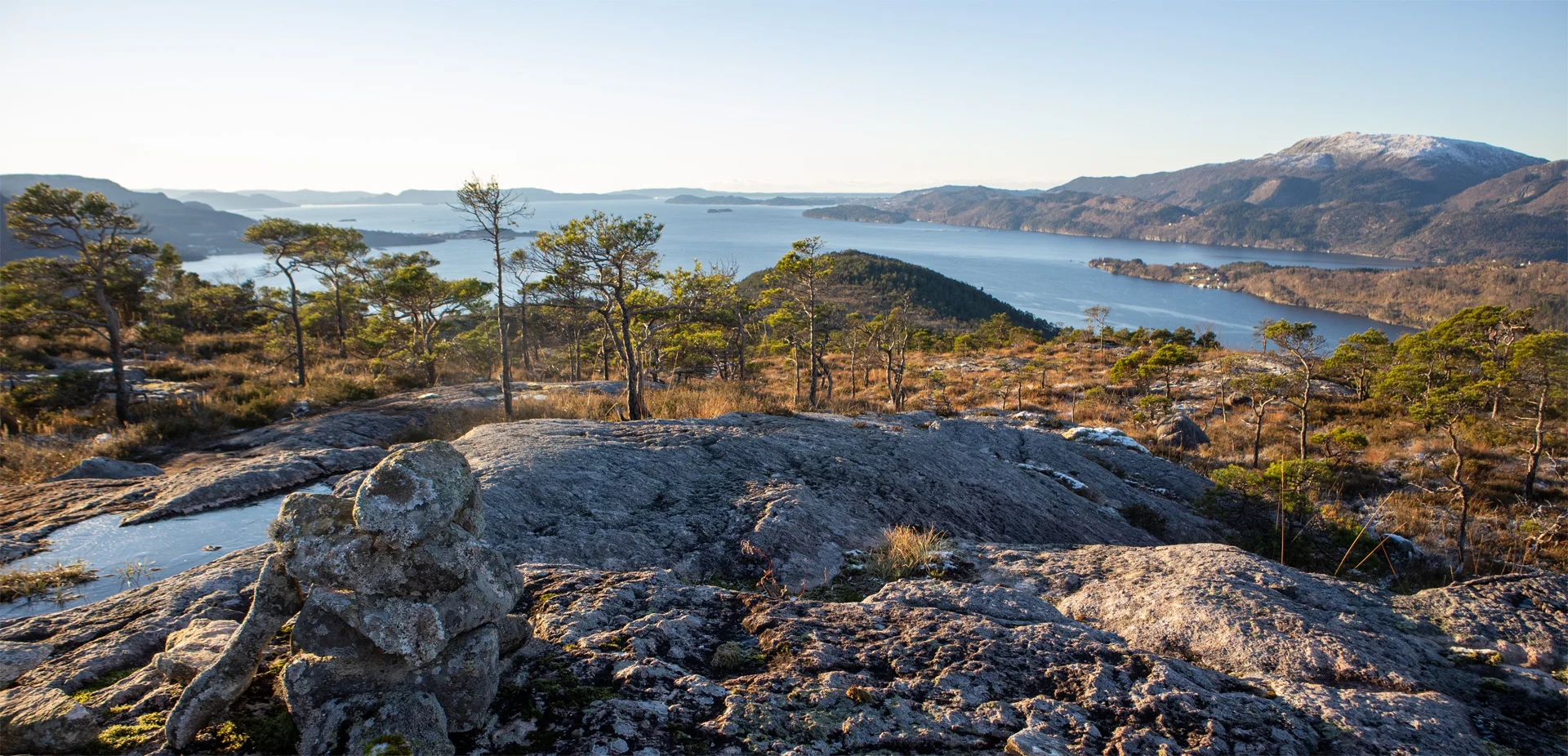
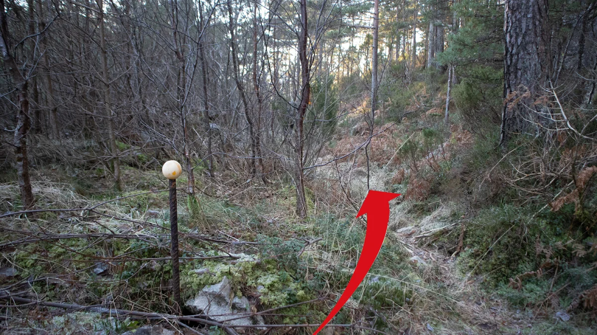
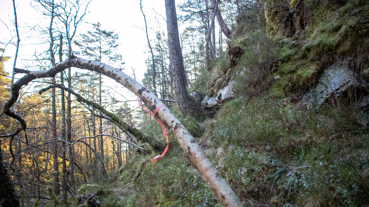
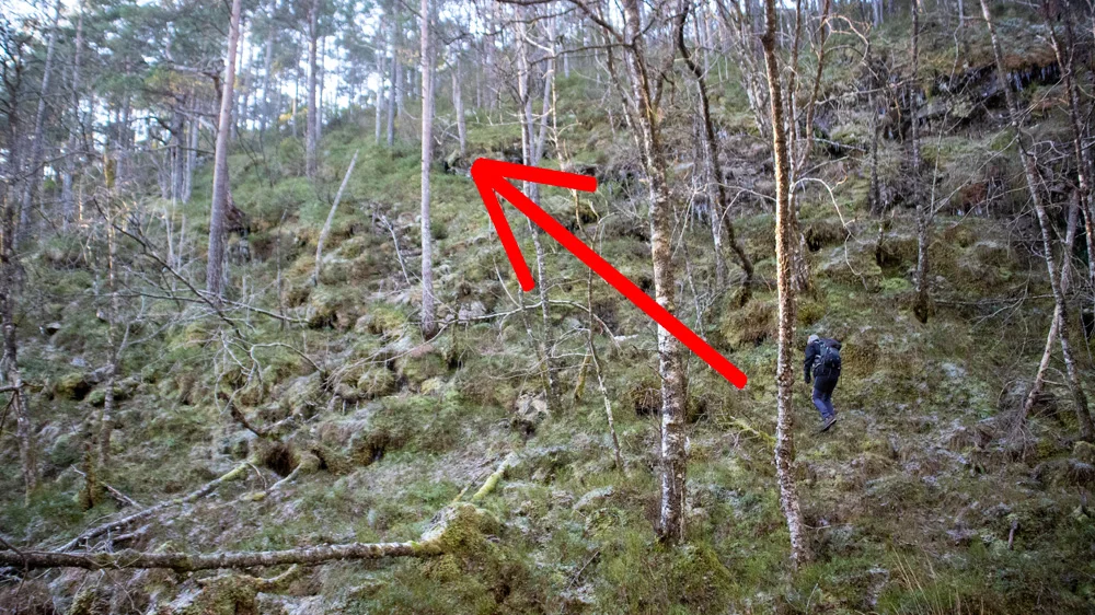
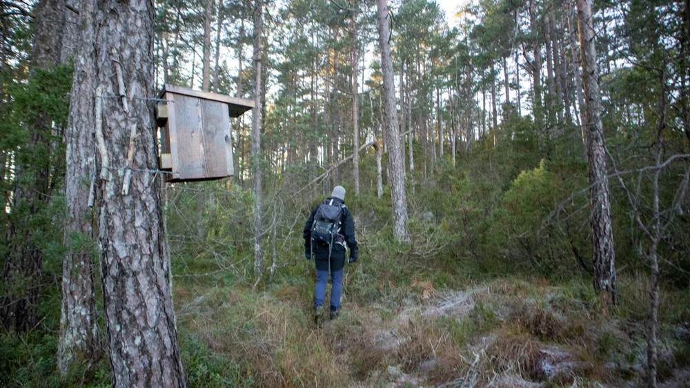
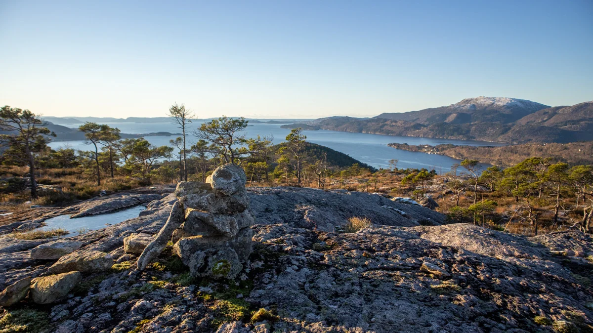
Go to the end of the parking lot and you will see an opening in the bushes on the right. There is a metal stake stuck into the ground here. Go through the bushes and follow the path to the left. Follow the path up the hill and over to the other side until you come down into a large lot. Here you should go left just before the bog (not straight ahead). The path is a bit unclear but you will see some Christmas gift ribbon marks in the trees. Follow the path further down into Midtfjelldalen and then up to the other side. The path is bad here so follow the terrain. When you have come up it flattens out and you follow hilly terrain first to the west and then to the south. Now you come onto a path and you can see bird boxes in the trees. Cross Altatjørnahauge and go down into another dump with Altatjørna on your left. Go up to the other side until it flattens out again and the terrain becomes open. Here the path is still bad but it is easy to see the direction. Go west towards the highest peak which is Dormannsnipen. There is a small mini cairn at the top.
There are nice views in all directions.
Return the same way or continue further towards Altaneset.