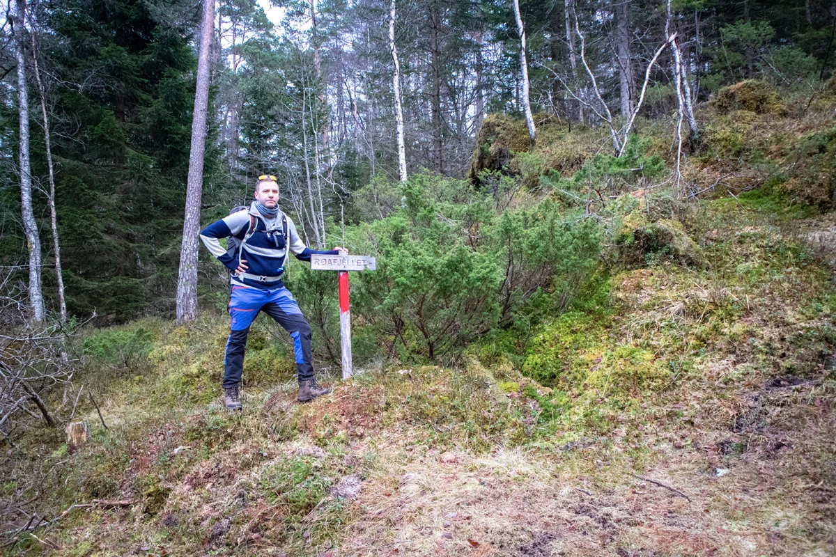
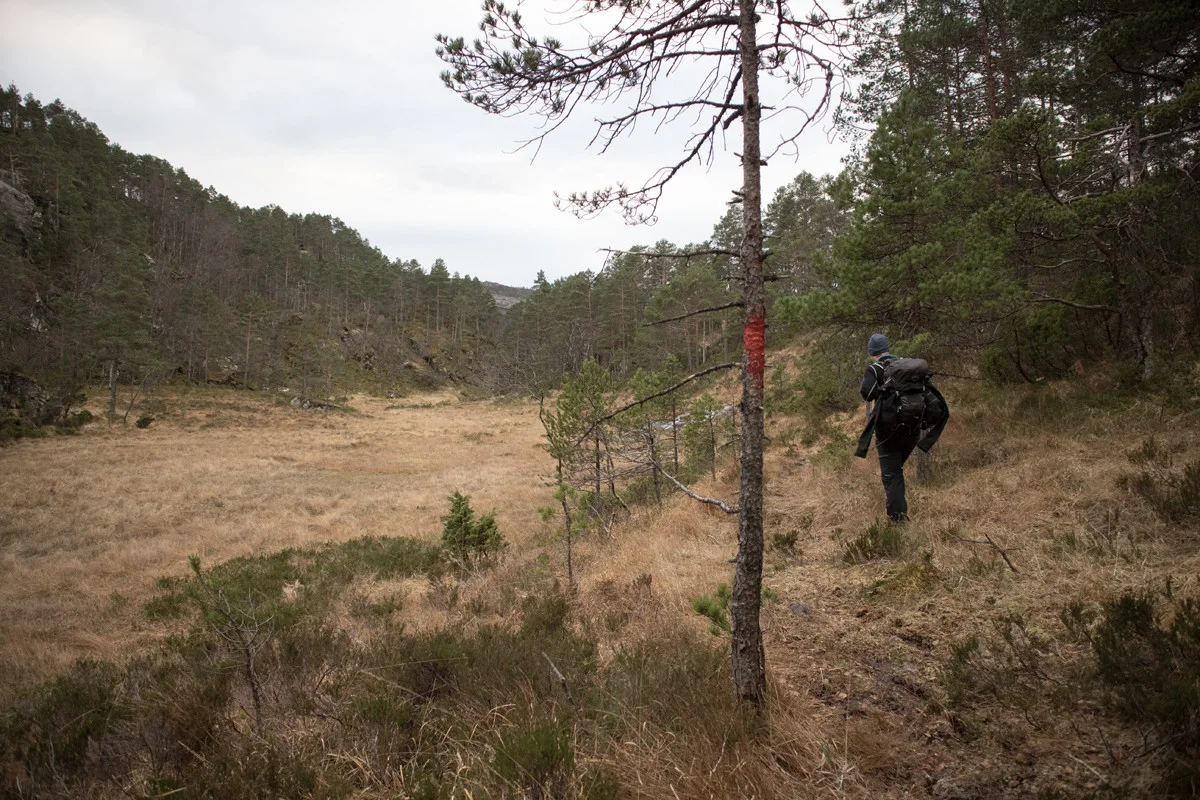
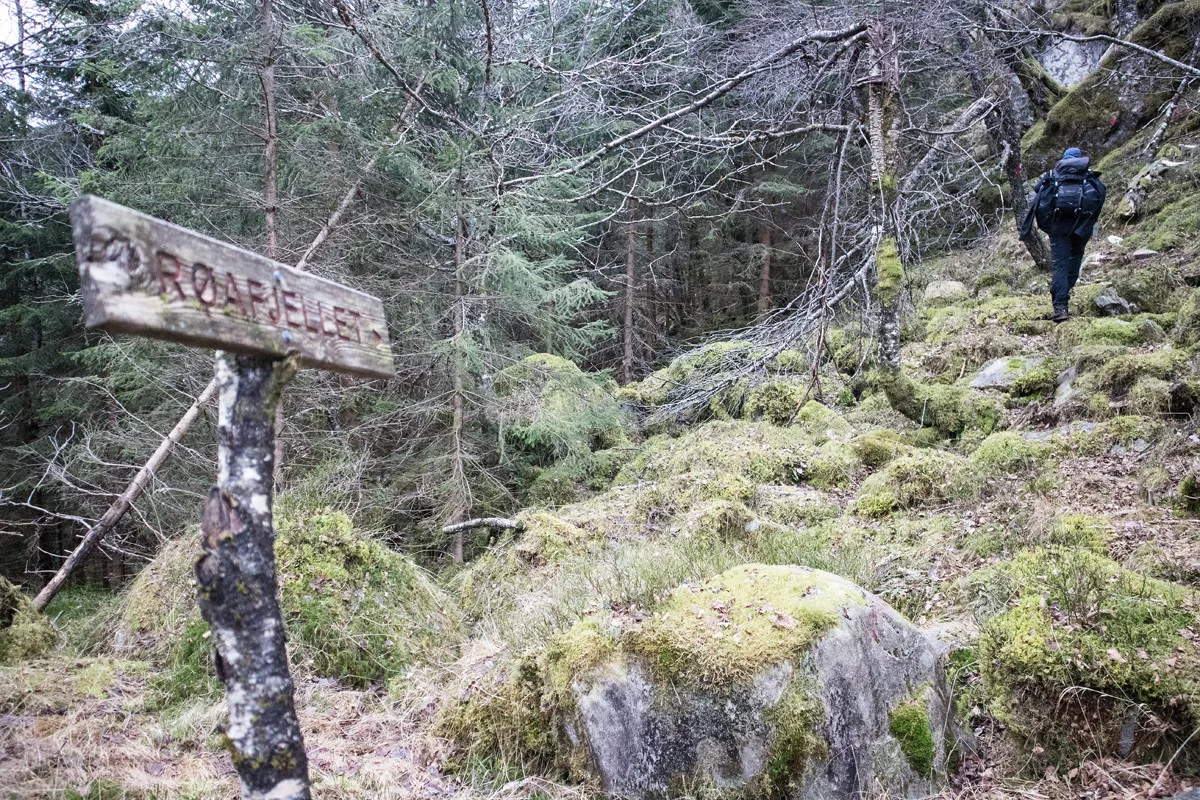
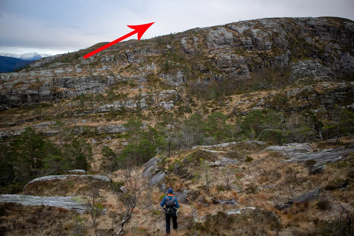
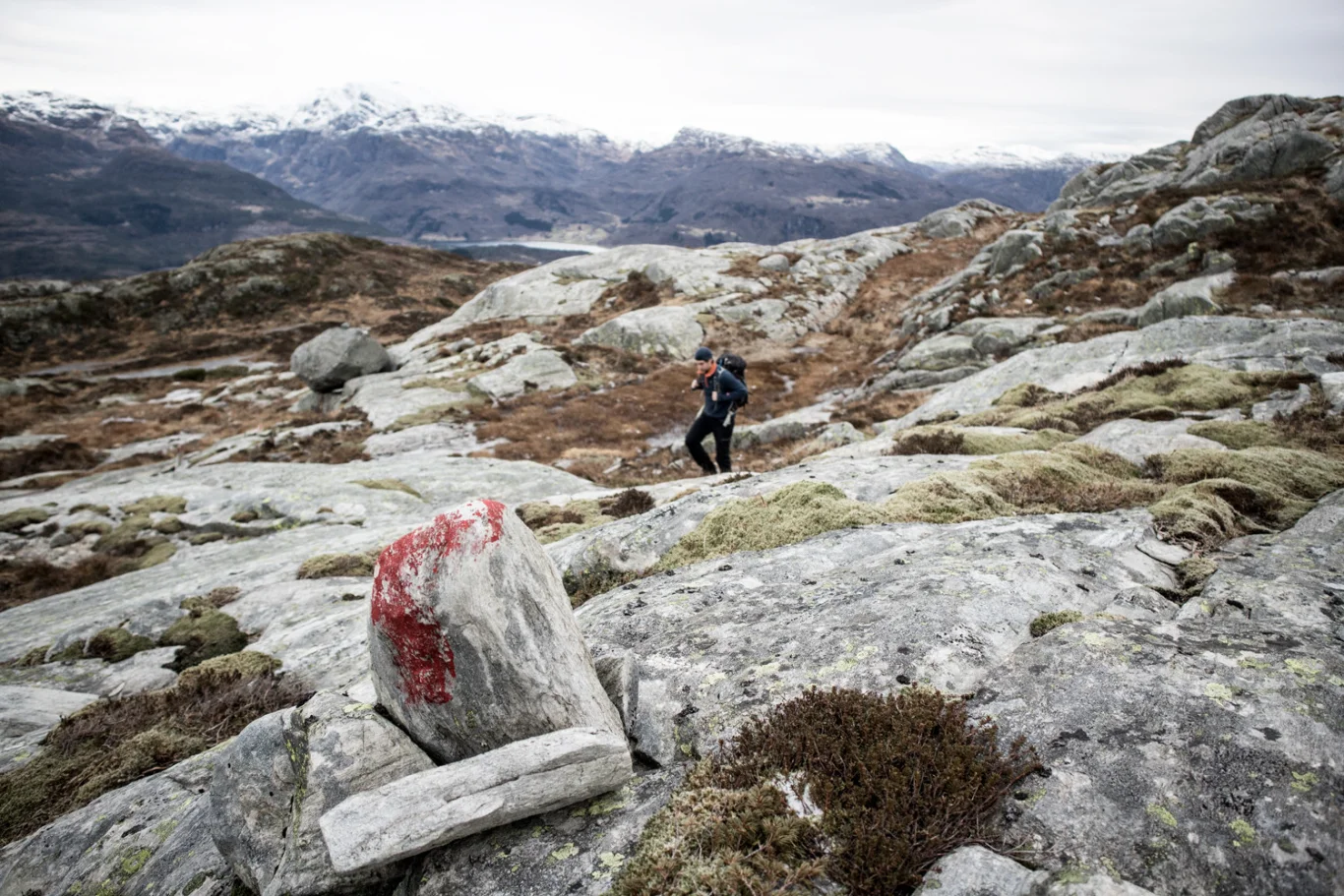
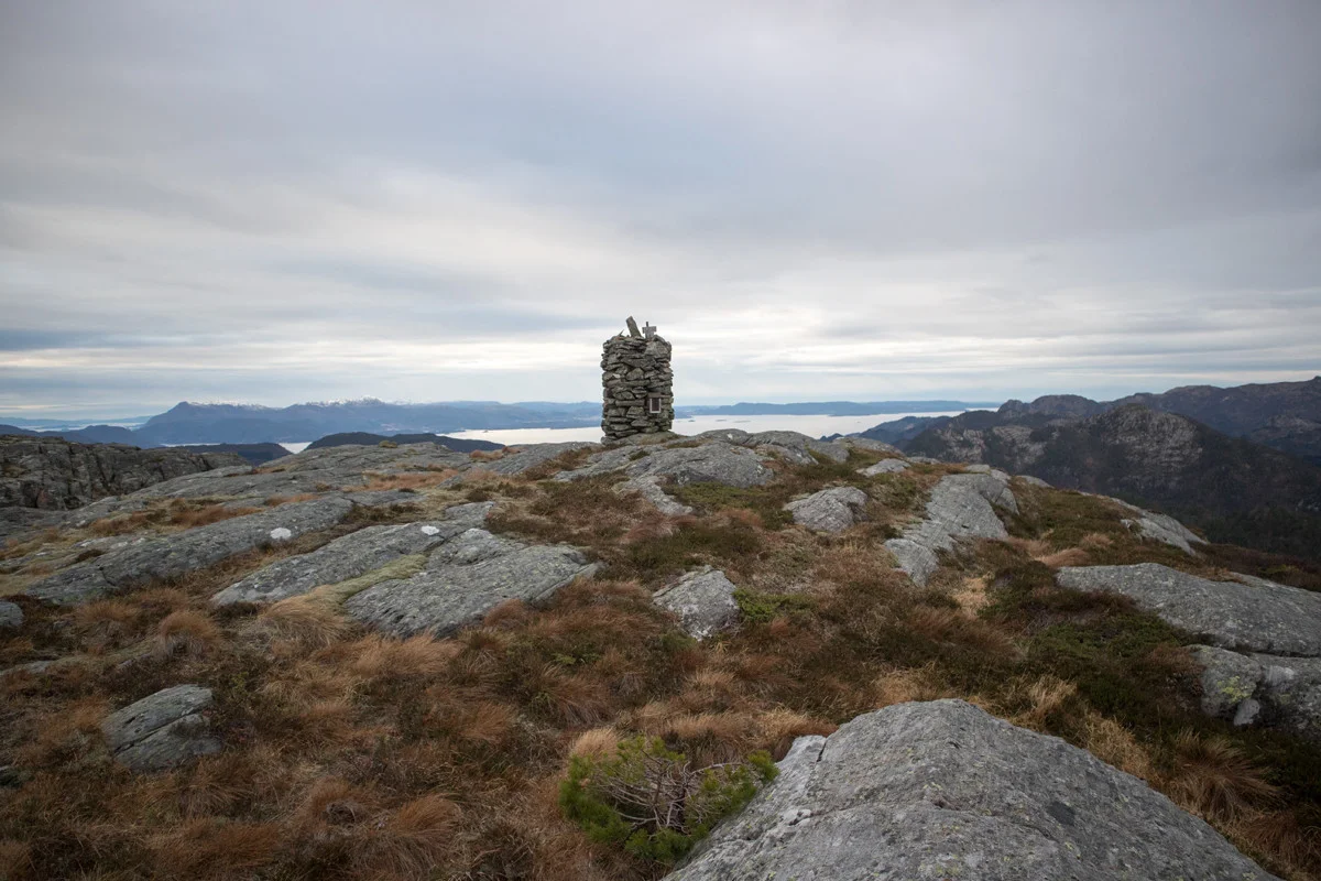
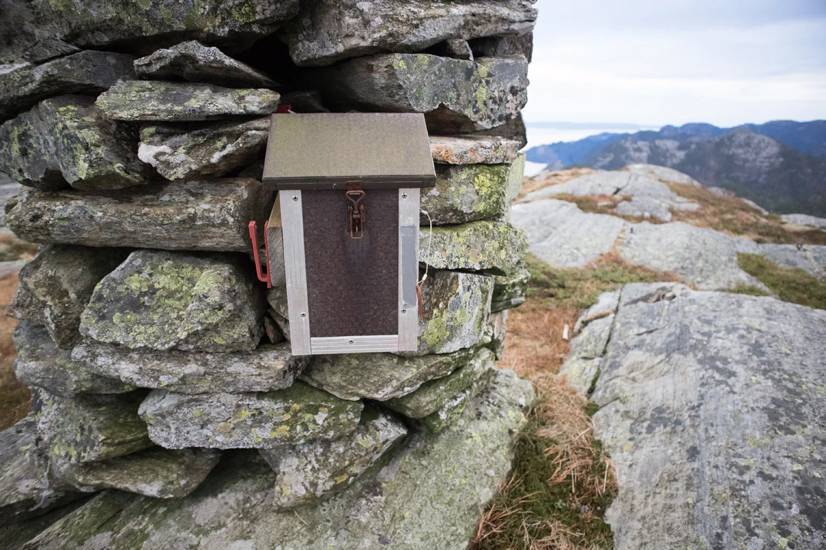
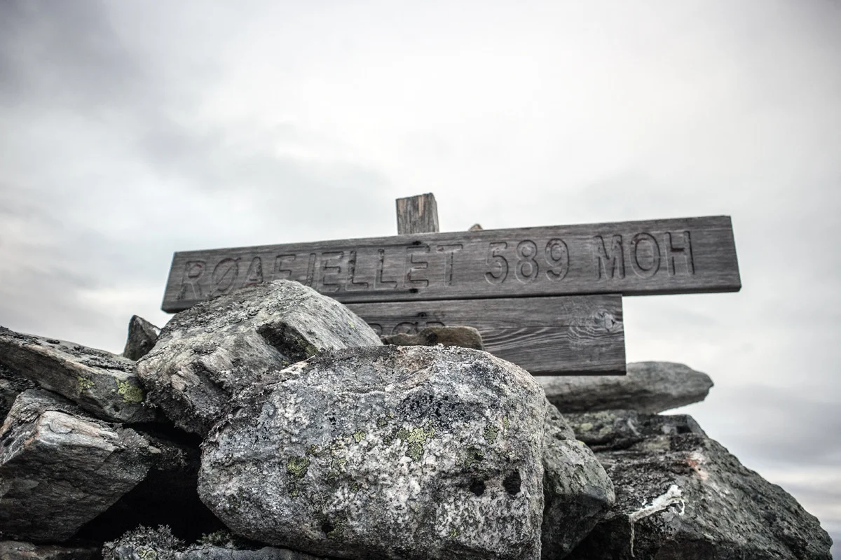
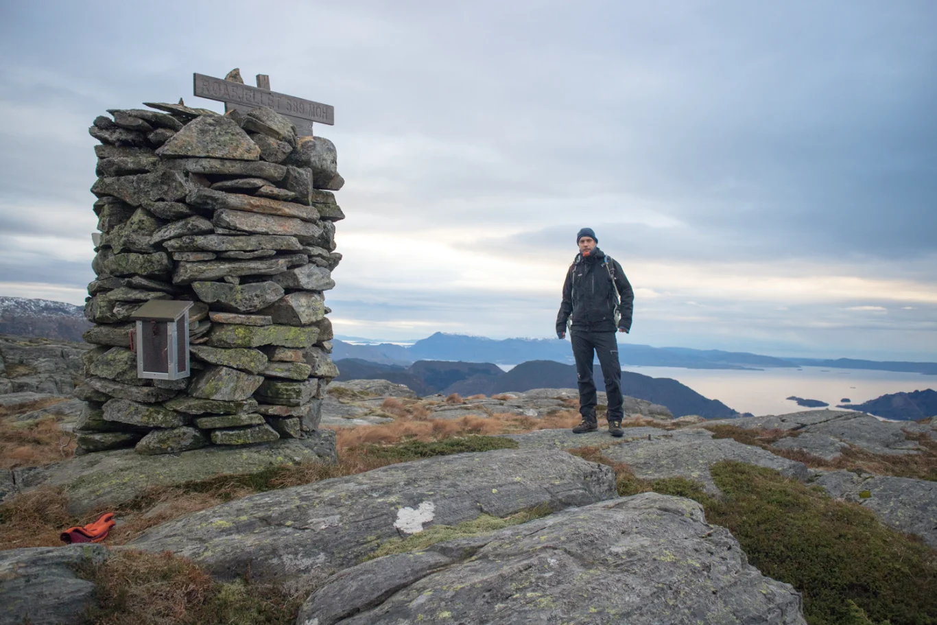
Røafjellet (589 m) in Fusa
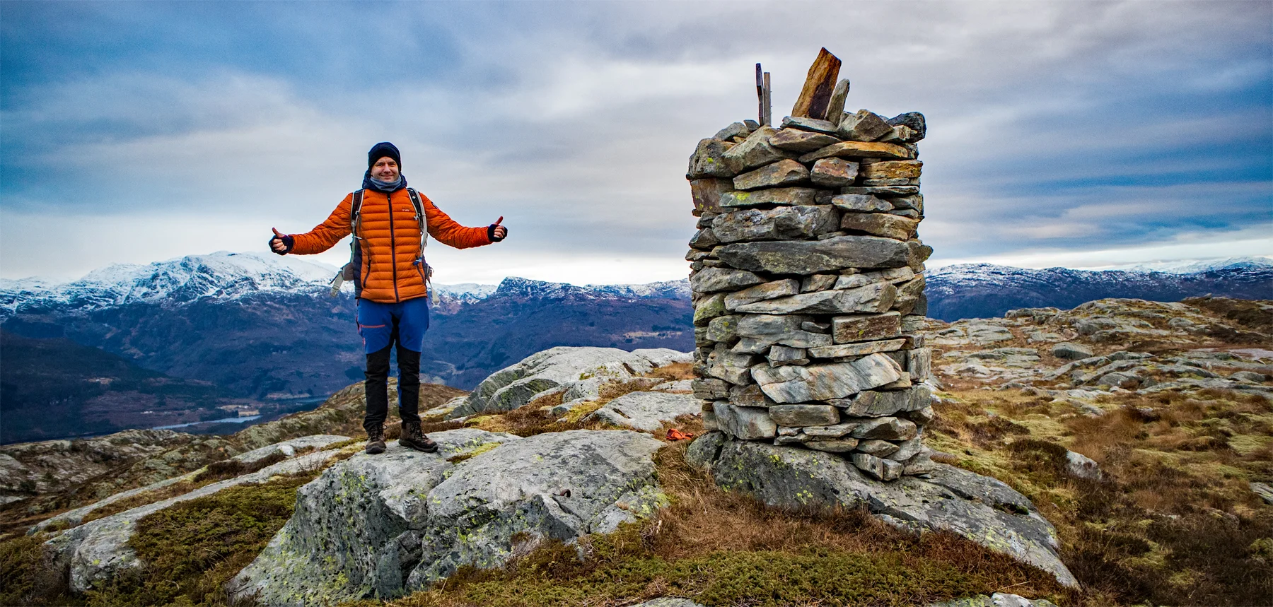
Photo: Admin

Processing elevation data.. .
You use GPX files that you download from our server 100% at your own risk.
Accommodation nearby


Hiking nearby


Distance
7.93 Km

Distance
8.24 Km


